芝麻灣芝麻灣 Mui Wo
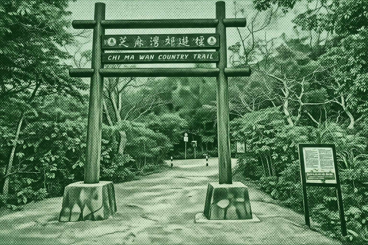
Chi Ma Wan Country Trail, the longest in Hong Kong’s country parks at 18.5 km, circles the Chi Ma Wan Peninsula along the coast. Weathered rocks form striking shapes, while granite outcrops stud the hillsides. The trail’s highest point, Lo Yan Shan (303m), offers sweeping views from Pui O Bay and Sunset Peak to Hong Kong Island. Hikers also pass the historic Shap Long Irrigation Reservoir, built in 1955 as a key water supply for nearby islands before its conversion in the 1970s.
 Download GPX
Find this route and more in the WayMe app.
Scan with your phone to download WayMe.


Forecast near the start point
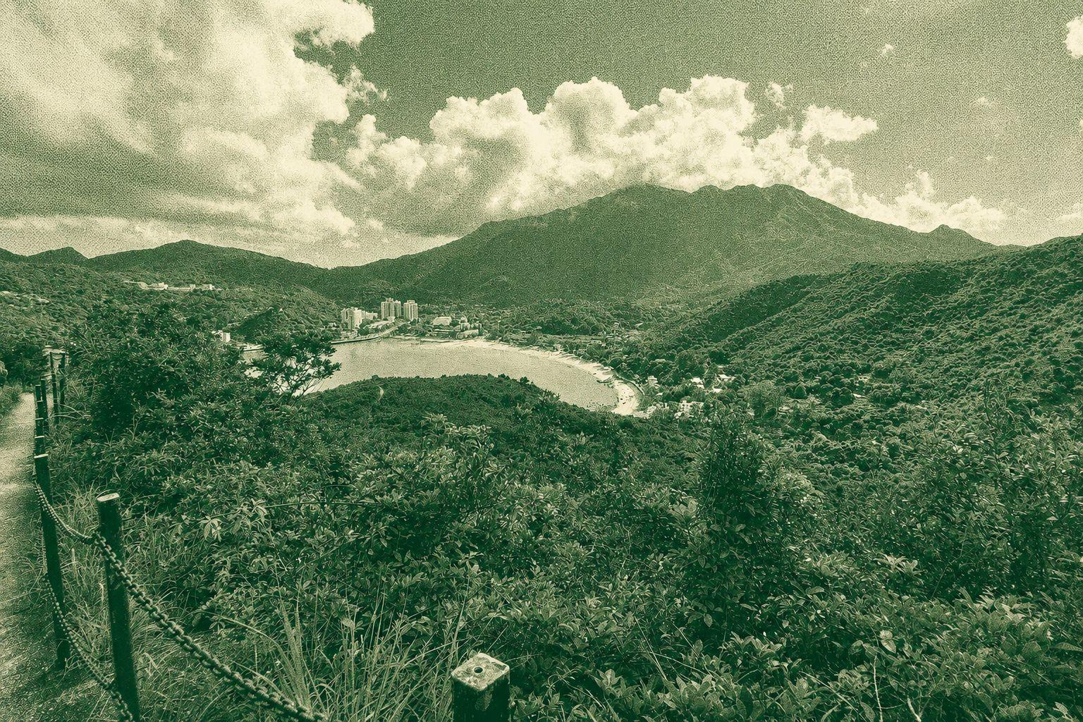
Ham Tin Loop is an easy coastal and countryside route connecting Pui O and Mui Wo. The trail passes through Shap Long and follows a mostly flat return path along the coast, with minimal elevation gain and no major climbs. It offers a relaxed hiking experience with scenic shoreline views, rural landscapes, and a peaceful atmosphere, making it suitable for hikers of various fitness levels.
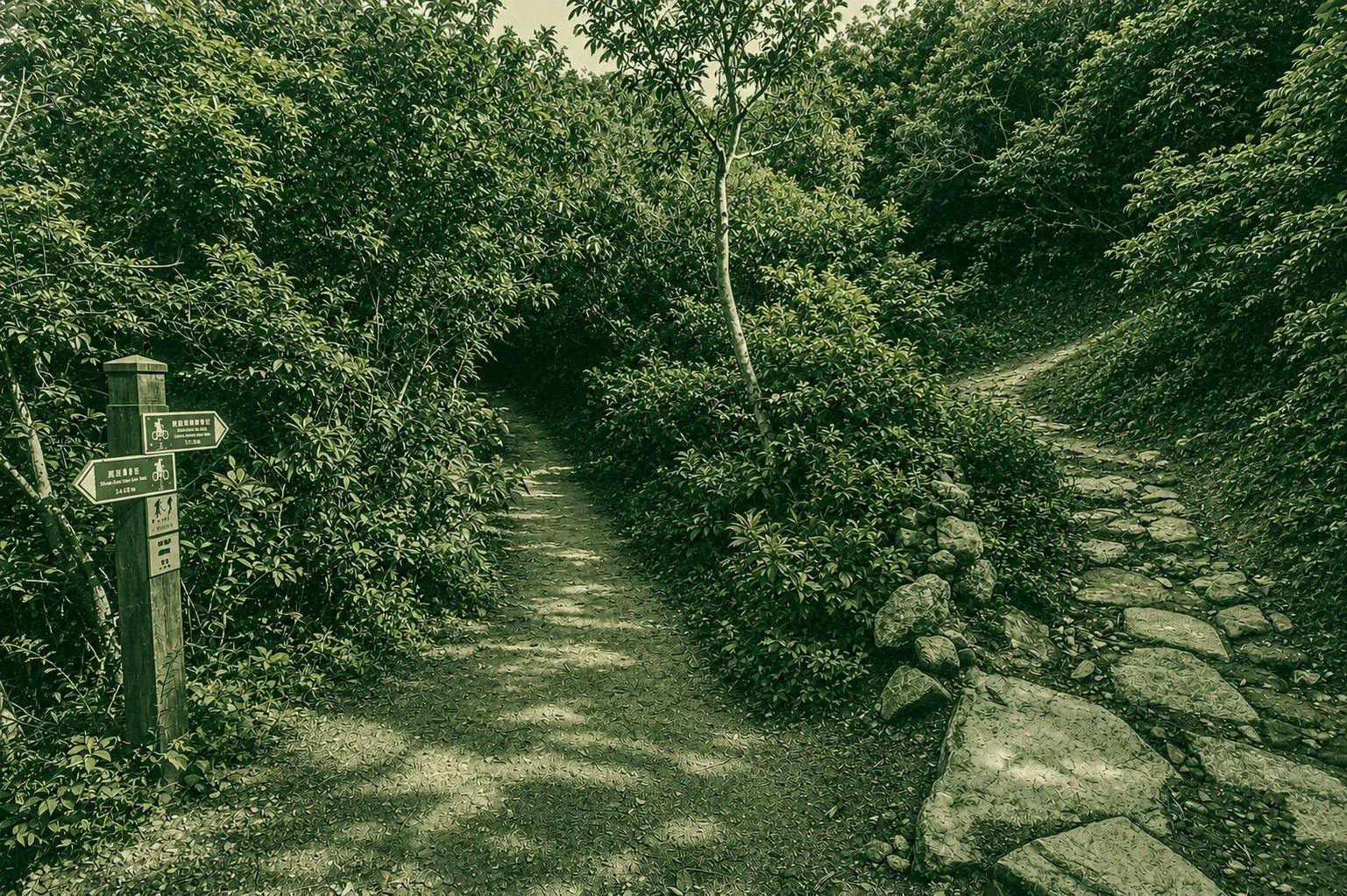
Ham Tin to Mui Wo Trail is a scenic route featuring a challenging initial climb with many steps leading to the cell tower and fire lookout. After the steep ascent, the trail becomes a more relaxed walk with gentle descents toward Mui Wo. The route offers rewarding views, peaceful countryside scenery, and a good mix of physical challenge and leisurely hiking, making it suitable for hikers seeking a varied Lantau Island experience.
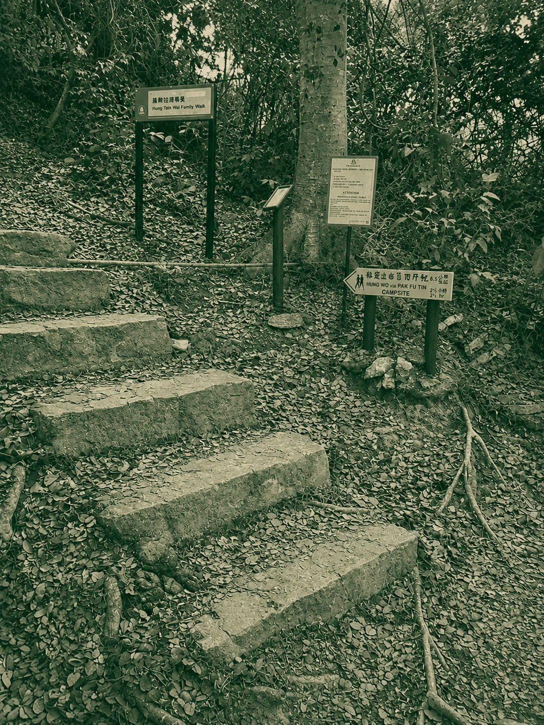
This adventurous route combines the Chi Ma Wan Country Trail with the challenging Black Man's Secret Path, passing through peaceful villages, coastal scenery, and rugged terrain. The trail features forest paths, stone steps, and steep, loose slopes where ropes and tree roots assist with scrambling. Hikers are rewarded with views of Pui O Beach, the Soko Islands, Lo Yan Shan, and secluded Second Wave Bay before returning via Mong Tung Wan. Due to its exposed descents and technical sections, this route is recommended only for experienced hikers with scrambling experience.

 Open in Google Maps