宜蘭縣蘇澳鎮 Su-ao Township, Yilan County
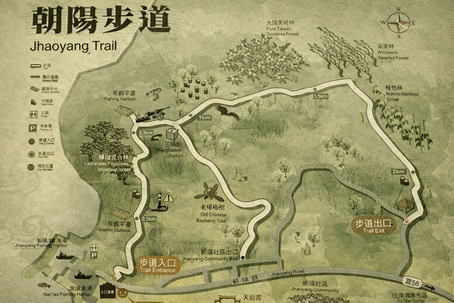
Perched on Guishan Hill in Nanao, Yilan County, the Zhaoyang National Trail overlooks the Zhaoyang Community. This Turtle Mountain—shaped like a sea turtle nestled between ocean to the east and rolling western hills dotted with farms and fishing villages—once served as farmers’ main route to hillside fields. The path winds through lush Lauraceae and Fagaceae broadleaf forests, past a seven-hectare Taiwan Gordonia plantation. Hikers enjoy ever-changing mountain-sea vistas and serene rural scenes, culminating in unforgettable sunrises accompanied by the rhythmic crash of waves below.
 Download GPX
Find this route and more in the WayMe app.
Scan with your phone to download WayMe.


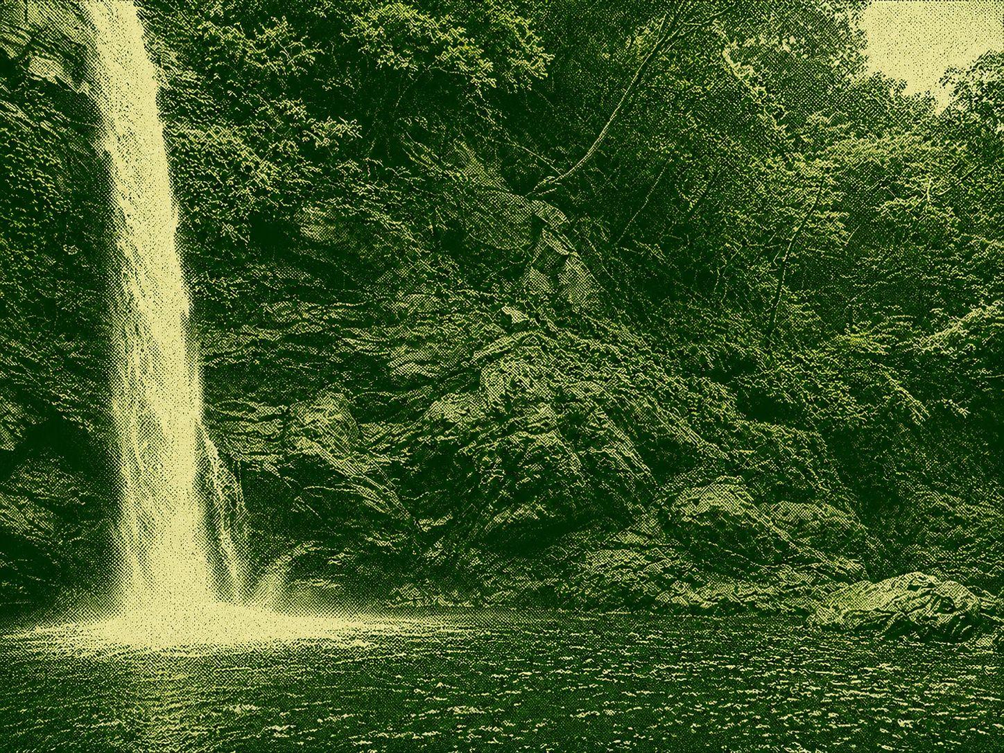
Jinyue Falls, located upstream of Lupi Creek, Yilan Nanao, North Creek, is a private back garden for the residents of the Jindake tribe. Known as the “most beautiful valley in all of Taiwan” by photographers as “the most beautiful valley in all of Taiwan” and the setting of the film “Different Moonlight”, the location of the film “Different Moonlight” has grown in popularity after its exposure, it has become a popular hiking destination in the East. The entire waterfall is divided into seven tiers. The main waterfall slides from a 30-meter cliff, splashes of flowers, and the water below is clear and transparent, the color of emerald, the stream water is cool and hot, surrounded by huge stones. The view is beautiful. First Floor: The shallow water pool is clear, where you can watch the shrimp on their own, relaxing and safe, suitable for general game water and beach picnics.
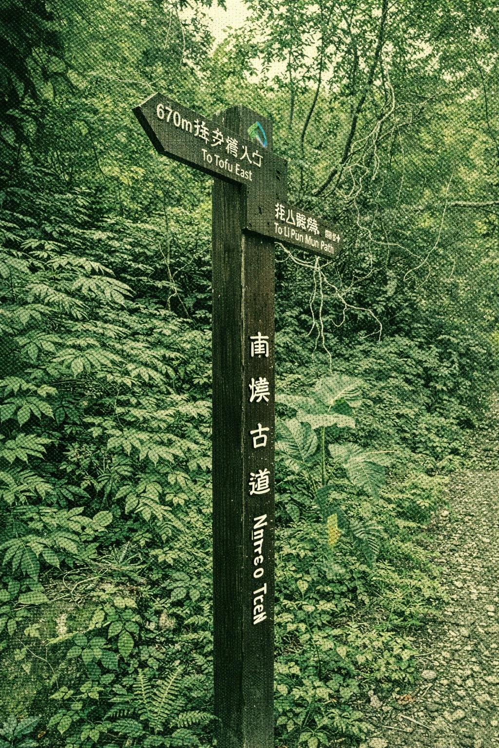
Nestled in Jinyang Village, Nanao Township, this trail forms the initial 3 km stretch of the Dananao Ancient Trail System. A round trip takes roughly 3–3.5 hours. Starting at the historic Senran Police Station, the path climbs beside the rushing Nanao South River through towering mountains, revealing abundant wildlife, remnants of old suspension bridges, and traces of former police patrol subgrades.
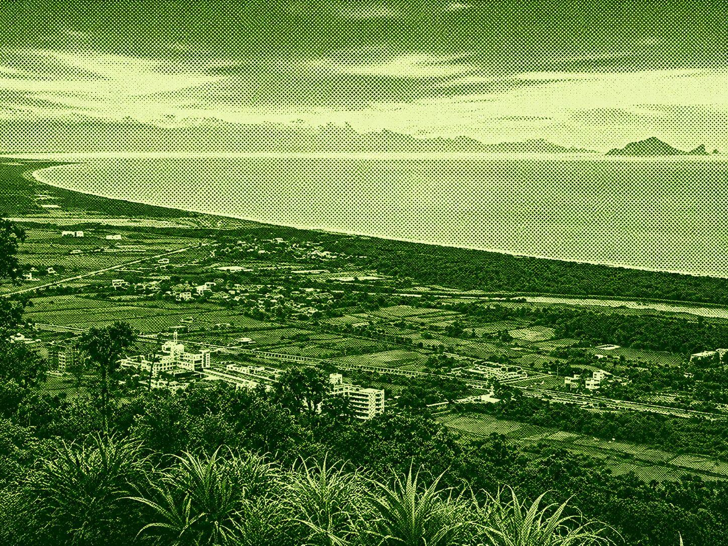
The Qixing Ridge Trail is located in Suao Town, Yilan, with a total distance of about 4.8 km. It is planned to climb both east and west. Visitors can choose the right route according to their traffic, physical strength and time available. The east exit is close to the Suao Cold Spring ticket office, with a total of over 1,300 stone steps leading up to the top of Seven Star Ridge. The west exit is located next to the Suo Ai Road. The west exit is located next to the Suo Ai Road. It is a 2.4 km walk from Xingling Park in the middle of the trail. The entire trail is well-equipped, with mileage markers set every 100 meters, several gazebos and observation decks along the way, and one star scenic spot is named according to the altitude and low altitude. You can rest in the wind at any time during the hike. Head to East Wangshan to enjoy the scenery of Suao Harbour and South Beikao fishing port. To the northeast, you can enjoy the Lanyo Plain, Half Moon Bay, Wuo Port, Kameyama Island and the vast Pacific Ocean. The view is rich in the view and the high quality of the Scenic Lookout Trail. There are few trees on the hiking trail, so you need to protect yourself from the sun and have plenty of water to drink in the summer. After descending the mountain, you can go near the hot spring of Kimso, and you can visit the sights of South Australia, the Wuo Port Water Bird Sanctuary and the White Rice Mook Village.

 Open in Google Maps