香港 Hong Kong
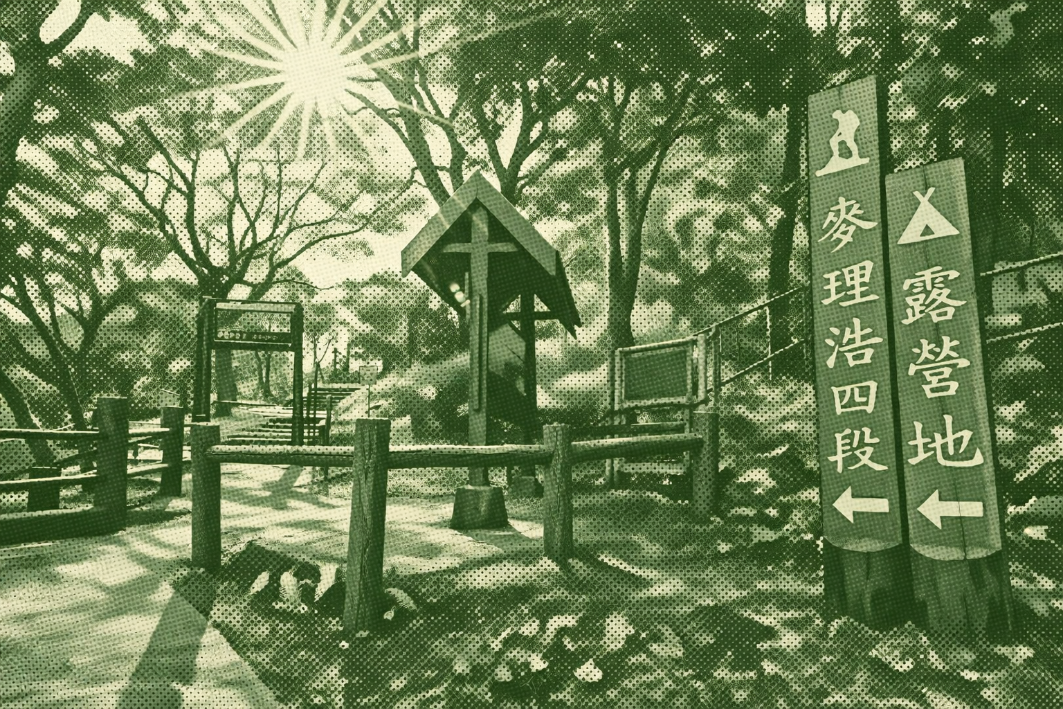
The MacLehose Trail is the first long-distance hiking trail established in Hong Kong. Opened in 1979, it was named after the then-Governor, Sir Murray MacLehose, who was an avid hiker. Stretching a total of 100 kilometers, it traverses eight country parks across Sai Kung, Kowloon, and the New Territories, running from Pak Tam Chung in Sai Kung to Tuen Mun. It is the longest of Hong Kong's four long-distance hiking trails. The trail is divided into ten sections, with distance posts erected every 500 meters. The沿途 landscape is spectacular and varied, encompassing the world-class hexagonal rock columns of the High Island Reservoir, the clear waters and fine sands of Sai Wan Beach, and the expansive mountain views from Hong Kong's highest peak, Tai Mo Shan (957 meters). The "Oxfam Trailwalker" charity race is held here every November, where participants are required to complete the entire trail within 48 hours. In 2016, the MacLehose Trail was named one of the "World's 20 Best Hiking Trails" by National Geographic magazine, making it a premier hiking destination for both local and international outdoor enthusiasts.
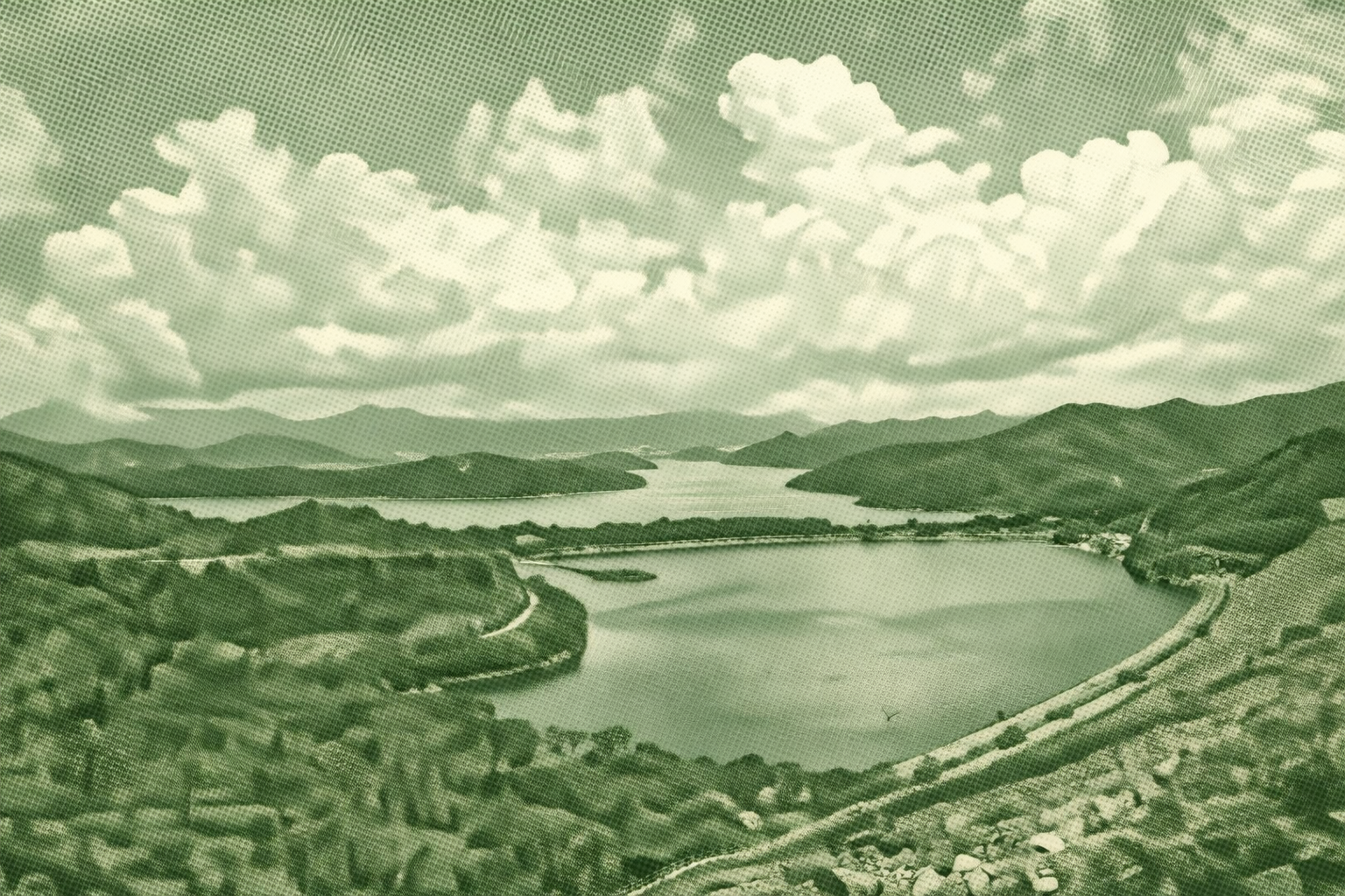
While many envy crystal-clear overseas beaches, Sai Kung hides its own glassy gem: High Island Reservoir. The lengthy but gently sloped Pak Tam Chung to Long Ke section offers an easy start. This 1979 reservoir displaced 400 Hakka villages, its vast scale still striking. Marvel at the East Dam’s wooden path, 7,000 dolosse, S-shaped hexagonal columns, and Po Pin Chau. Finish at Long Ke Wan, famed for rhyolite’s grey-brown volcanic hexagons, or linger for starry Milky Way nights beside crashing waves—a fresh view of Hong Kong’s magic.
Download GPXFind this route and more in the WayMe app.
Scan with your phone to download WayMe.


Forecast near the start point
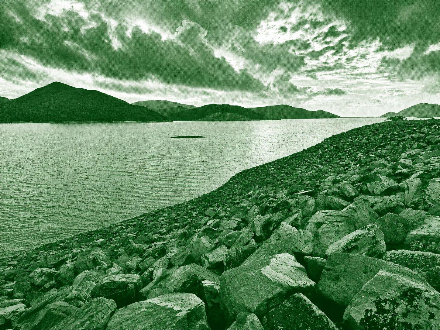
MacLehose Trail is Hong Kong's longest hiking trail, stretching approximately 100 kilometers across the New Territories from Sai Kung to Tuen Mun. Divided into 10 sections, it passes through scenic mountains, reservoirs, beaches, forests, and country parks, showcasing the region's diverse natural landscapes. The trail is suitable for a wide range of hikers, with some sections offering gentle walks while others feature challenging climbs, including the famous peaks of Tai Mo Shan and Sharp Peak. It is widely regarded as one of Asia's premier long-distance hiking routes, offering spectacular views and an excellent opportunity to experience Hong Kong's countryside
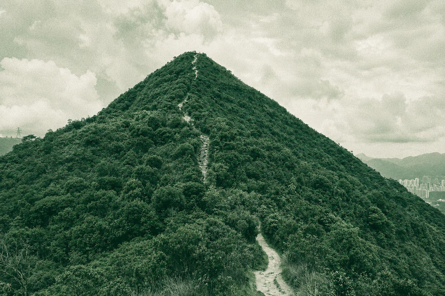
The Pak Tam Chung – Sai Wan Shan – Needle Hill – Grassy Hill – Tuen Mun San Hui route is a demanding long-distance hike that traverses some of Hong Kong's most scenic mountain ridges and country parks. The trail features challenging ascents to prominent peaks, including Needle Hill and Grassy Hill, where hikers are rewarded with sweeping views of reservoirs, lush valleys, and the surrounding mountain ranges. A combination of forest trails, stone steps, and exposed ridgelines creates a varied and physically rewarding hiking experience. Due to its length and elevation changes, the route is best suited for experienced hikers with a good level of fitness. This hike offers a memorable journey through diverse landscapes, combining panoramic viewpoints, peaceful natural surroundings, and some of Hong Kong's most impressive upland scenery.
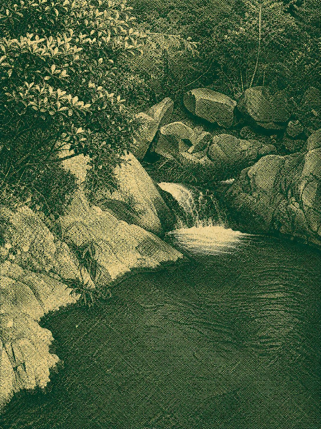
A peaceful 8.5–12 km heritage trail linking Tsik Yu Lake, Pak Tam, and Yung Shue O. Expect shaded woodland paths, small streams, mangroves, and quiet coastal views before finishing on the paved walk to Shui Long Wo. A calm, easy route ideal for relaxed hikers.

 Open in Google Maps