南投縣仁愛鄉,花蓮縣秀林鄉 Ren'ai Township, Nantou County; Xiulin Township, Hualien County
The northern part of the central mountain range at Mount Bilou has become one of the most easily climbed mountains in Baitake due to the opening of the Central Highway and 820 Forest Road. Yamato is half of the 820 forest road from the west exit of the Duyuling Hehuashan Tunnel. It is possible to arrange a one-day solo, two-day overnight, or Beiyang hike (Biloshan to Gantou Mountain). It takes more than 20 km in a single day and takes more than 12 hours to walk, while the Beiyang trek requires heavy loading on the ridge, and then connects to the peaks via serrated teeth. Descending the mountain from the Goatou Mountain Trail is a must for those who are not physically fit and try it out during the snow season. 820 Forest Road has little ups and downs, except for some broken sections, with one mile of logs every hundred meters, without getting lost. After passing the abandoned shires and the waterfall, you will have to reach the Bilok Togou Camp, and then you will have to climb a steep 800 meters. On the way, you will also have to climb the vertical cliffs of about two floors high (assisted by ropes). After crossing the Sheep Road, you can climb to Mount Biluku, which has an altitude of 3371 meters. The top of the mountain has a mountain Three triangular points and 360-degree views are lined up against Huangwan Peak, Chili Lian Peak, Chili East Gorge, Jagged Peak, North I, North II, and thousands of miles of obscure ruins. Do you want to see such a magnificent view for yourself? Get ready to try one of the “Central Spicy” Baptisms of one of the “Nakayoko Four Spicy”.
 Download GPX
Find this route and more in the WayMe app.
Scan with your phone to download WayMe.


南投縣仁愛鄉,花蓮縣秀林鄉 Ren'ai Township, Nantou County; Xiulin Township, Hualien County
 Open in Google Maps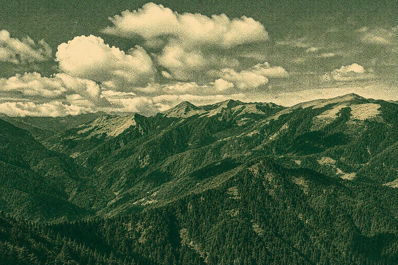
The northern part of the central mountain range at Mount Bilou has become one of the most easily climbed mountains in Baitake due to the opening of the Central Highway and 820 Forest Road. Yamato is half of the 820 forest road from the west exit of the Duyuling Hehuashan Tunnel. It is possible to arrange a one-day solo, two-day overnight, or Beiyang hike (Biloshan to Gantou Mountain). It takes more than 20 km in a single day and takes more than 12 hours to walk, while the Beiyang trek requires heavy loading on the ridge, and then connects to the peaks via serrated teeth. Descending the mountain from the Goatou Mountain Trail is a must for those who are not physically fit and try it out during the snow season. 820 Forest Road has little ups and downs, except for some broken sections, with one mile of logs every hundred meters, without getting lost. After passing the abandoned shires and the waterfall, you will have to reach the Bilok Togou Camp, and then you will have to climb a steep 800 meters. On the way, you will also have to climb the vertical cliffs of about two floors high (assisted by ropes). After crossing the Sheep Road, you can climb to Mount Biluku, which has an altitude of 3371 meters. The top of the mountain has a mountain Three triangular points and 360-degree views are lined up against Huangwan Peak, Chili Lian Peak, Chili East Gorge, Jagged Peak, North I, North II, and thousands of miles of obscure ruins. Do you want to see such a magnificent view for yourself? Get ready to try one of the “Central Spicy” Baptisms of one of the “Nakayoko Four Spicy”.
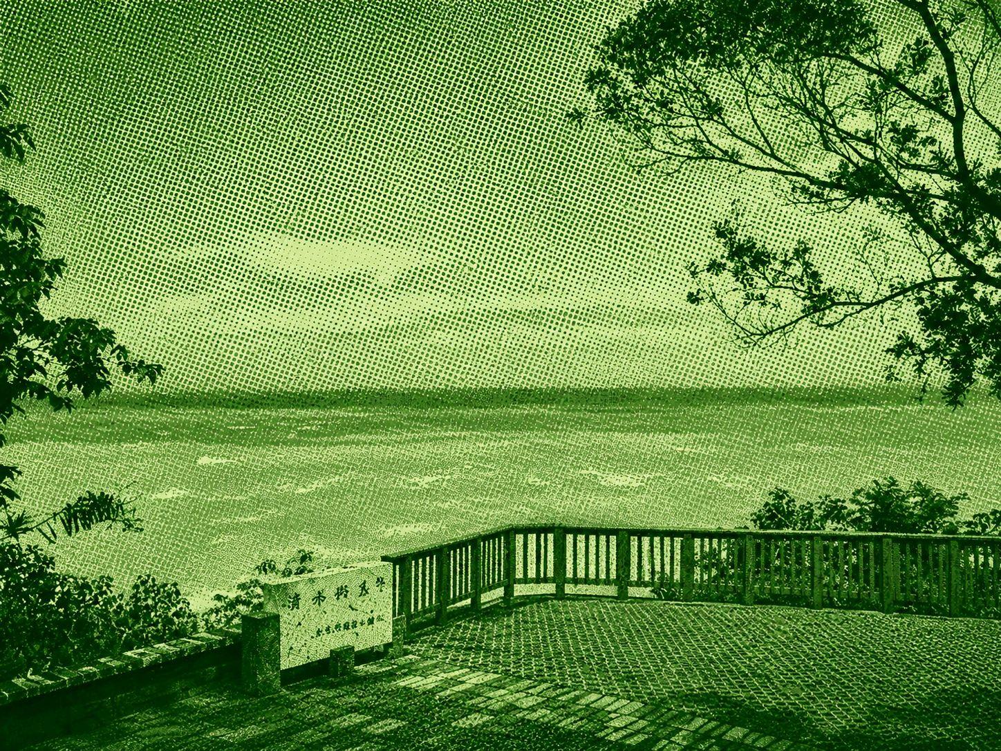
The Chongde Trail is a great place for viewing the Clear Water Cliffs. From the viewing platform of Chongde Recreation Area, you can enjoy the magnificent Pacific Ocean, the majestic Ching Shui Cliff on the Giant Wall, and the Shua Road, which is like Tengyun Lining. Walk down the Chung Tak Trail to the second viewing platform for a clear view of the old Su Hua The road is like a ribbon, tied between the cliffs and mountains, like an aerial corridor, rugged and spectacular, and one of the ten stunning views of Taiwan. Shimizu cliff site on the eastern side of Shimizu Daishan, between Suhua Highway and Cheongde, stretches for 21 km. The southeast cliff of Shimizu Mountain, and the sheer cliff at the edge of the sea reaches 5 km, as if rising from sea level. The location is steep, the atmosphere is magnificent, and the height difference is a special landscape of the east coast One of them.
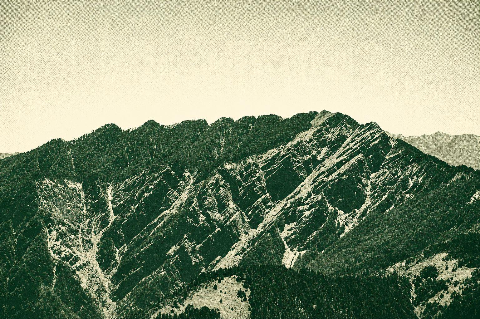
The Beiyang Walk is the short name for the ridge route that crosses Mount Bilok and reaches the jagged peaks of Yangtou Mountain. The whole trip involves not only two steep mountain passes, but also through a series of jagged peaks. Although not a triangular base and not included in the list of 100 mountains, this peak offers excellent views and unique mountain views, making it a difficult and challenging route for medium and small mountain trekking. Most climbers plan a two-day journey to complete the route, starting at the entrance of the 820 forest road at high altitude, walking 8.4 km to the Bilok mountain pass. After drinking enough water at the end of the route, climb Mount Beiluku about 800 m. Later, take in the views surrounding the mountains, enjoy the views surrounding the mountains, wait for sunrise and sunset Cloud Sea Scenery. The next day, continue across the jagged peaks and ascended to the top of Yangtou Mountain, and the final journey fell thousands of meters to the end of Cien Mountain Pass. The most challenging part of the route is a series of jagged peaks, a series of giant two-tier-high rocks at the top of the mountain, as well as numerous obstacles through boulders, across decaying trees, digging through thorny bushes. The location of Sawsan Mountain is particularly tough. There is a “Tenjin Pen Stand”. It is recommended for experienced hikers who want to experience the unique Goat Mountain Scenery and the unique Goat Mountain Scenery on a visit to Kita-Obu Mountain and Wuling Shixiu.
