臺中市和平區 Heping District, Taichung City
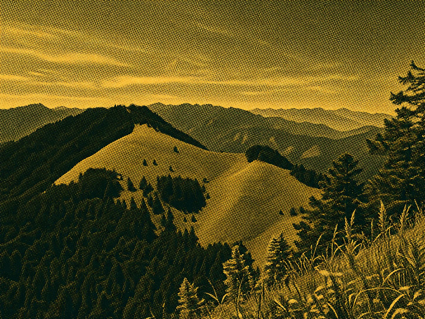
There are no parking spaces near the Four Seasons Lanxi Suspension Bridge (Sejie Lanxi Suspension Bridge). Park your vehicle on a vacant lot in the Wan Shan Tribe, walk to the mountainside entrance and see the Shijiayang Mountain as you pass through the gorge. Of course, there is an atmosphere of one day of sightseeing in Taiwan. It is already a long way up and down before the mountain entrance, which means that after the return is half dead, there are industrial roads up and down waiting... After the suspension bridge, the challenge of putting the park pass into the mailbox will officially begin. After a slow uphill slope, cut down the valley. Continue back to the farm road and see a large orchard, where it is easier to go wrong. Look closely for the cobweb traces left by the former, find the iron workers, and walk through it. Soon, the railway bridge appeared, from here to 3.1k, a scenic route that was easy to walk. Between 3.1k and 6.5k, it's a steep climb, and you can't help but envy the birds in the woods and sing beautiful songs. After this, the good days are not far away, and the peaks of the mountains gradually appear, they can be named after the beginning, and the forest stops, and instead they are replaced by a meadow of arrow-bamboo with a large expanse of green oil, and the mood is also relaxed. Finally, climb to the base point and walk this way. If the weather is clear, snow mountains, big swords, yisxiu, tamyiyama, central peak, sweet potato, unknown, ringing bell, Bilok, and Lagoshan can be tiring at a glance, hugging the triangle points. In particular, the base peak is not the highest point of Mount Zhijiayang, and the peak still needs to be hiked about 500 meters to reach it. Don't mess around on the top of the mountain for too long. Since the downhill slopes are almost steep, it's best not to touch the darkness early. On the way down the road, I finally came to the railway bridge, looking back at the Shijiayang Mountain on the bridge, wondering how you could reach that seemingly high and distant place, and in fact, with a dark desire to achieve your goal. Back to Jejilan Valley, the valley is beautiful, the water is turbulent, but there is a feeling of time stagnation. If you do not make it, please stop and enjoy it.
 Download GPX
Find this route and more in the WayMe app.
Scan with your phone to download WayMe.


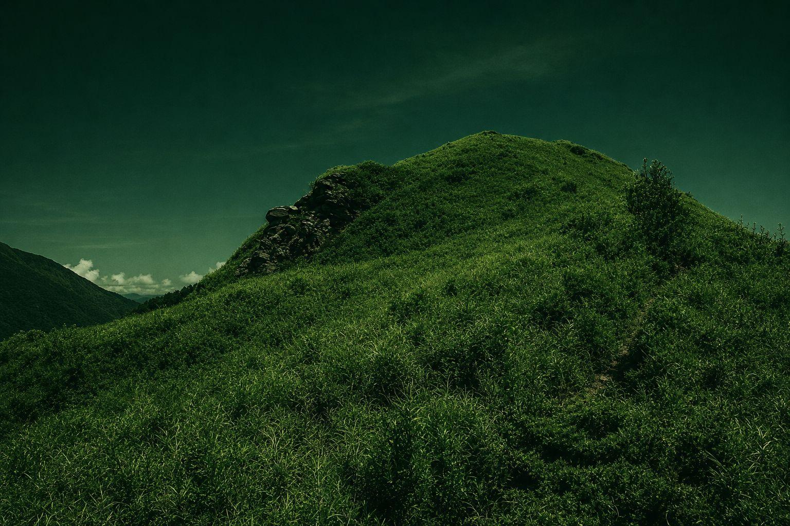
Latiyama and Suzumura Mountains belong to the mountain range and belong to the northern section of the Chuo Mountains. With the opening of the Hokkaido Highway, the threshold for climbing traffic is significantly reduced, and the route is popularized, making it an inaccessible mountain. Compared to the other rocky ridges in the northern part of the mountain, the mountain ranges are gentle and gentle, full of lush alpine grasslands. The mountains can be connected by 730 forest trails, and most mountain lovers will arrange to complete the trip once. The two mountain peaks have a wide view of Ka Creek with a view of Snow Mountain Peak, Dajian Mountain, and Zhijiayang Mountain, which are located next to Ka Creek, and many hundreds of mountains are located next to Keikai Peak, Nanhu Daishan, Chuo Jishan, Wuming Mountain, Biloh Mountain, and more. 730 FOREST ROAD IS A MAPLE HIDEAWAY FOR PHOTOGRAPHERS WHO WANT TO HIKE THE MOUNTAINS IN LATE AUTUMN AND ENJOY THE MAPLE VIEW.
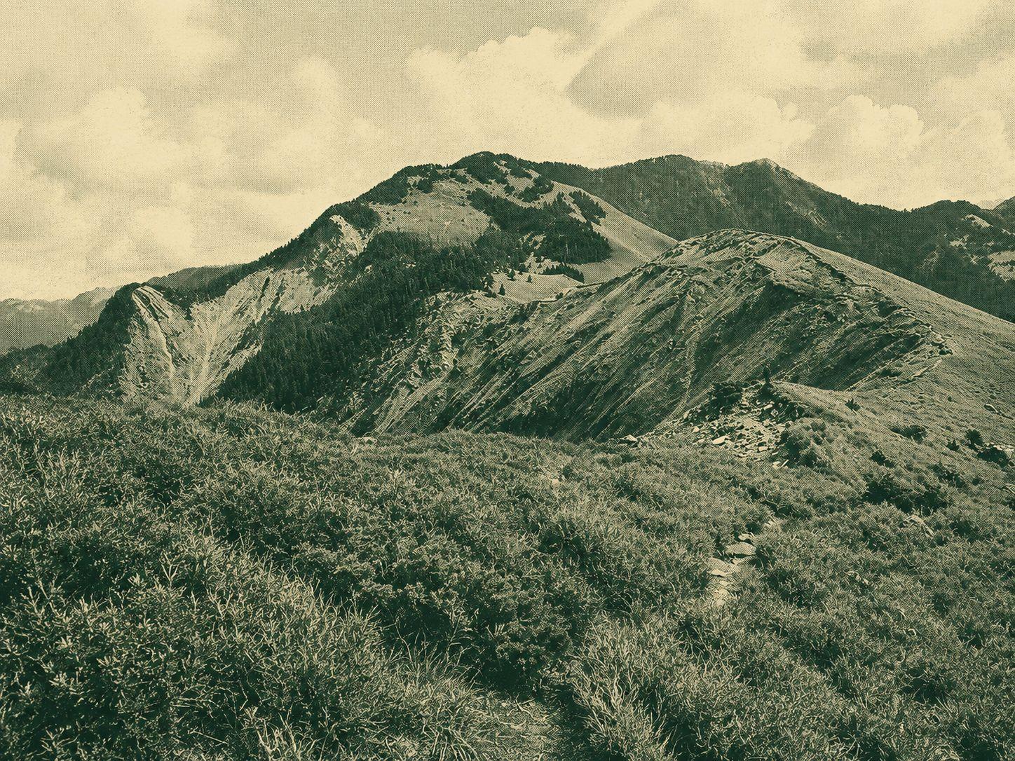
My husband is deep, daring and surprising, small and clever! It's time to change the view with sweat. Many places have fallen trees like hedgerows, collapsed forest paths, and look down. Snow Mountain West Ridge, also known as Snow Mountain Southwest Rim, starts from the Snow Mountain Hiking Trail through Snow Mountain East Peak, Main Peak, Tui Pond, Volcanic Mountain, Tau Eagle Mountain, Guangdai Snow Mountain, and Central Snow Mountain, and Central Snow Mountain, and the Central Snow Mountain. There are also mountains to choose from. Reverse climbing. From the top of the mountain range and the ridge line, you can see the beautiful mountain ridge line of Weiyang, the peaks of the Yushan Mountains, the central mountain range. The unique circular valley and the ice lake square are amazing. The towering mountain grasslands, clouds and starry sky are simply romantic.
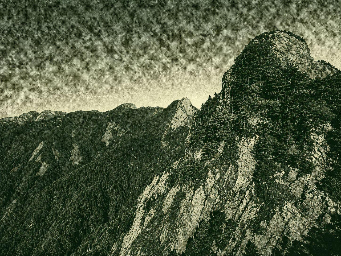
Along the way, you can enjoy a series of towering peaks, mountain peaks, and ice floes such as mountain valleys and water ponds, Taiwan's largest Yuyushan mountain pure forest, Taiwan's highest elevation spruce forest, “Black Mountain Forest”, and view the unique box-shaped crinkled terrain structure of the vast, small, spiky mountains. In spring, azalea blooms beautifully, summer greenery and hundreds of flowers are full of flowers, autumn is full of lush and red mountain flowers, and a silvery snow-white world in winter, and amazes the beauty of the Holy Mountain ridge! Starting from the Taoyuan Mountain Trail, you will then visit the four hundred peaks of the Taoyuan Mountains, Iki Mountains, and Pineda Mountains. You will need to climb the famous “Shinda Cliff” by taking a ride down the famous “Shinda Cliff”, and then walk along the traditional ridge of Mount Xiubran, and then meticulously wander through the dense thickets of huge boulders and broken boulders. From the mountain range to the north peak of Snow Mountain, Kellant Kunshan Mountain, North Ridge, North Ridge, Snow Mountain, Snow Mountain, Snow Mountain, Snow Mountain, and Snow Mountain main peak, this magnificent mountain ridge line is located above 3500 m, through the Snow Mountain Ring Valley and then up to the eastern peak of Snow Mountain. The starting point of the hiking trail.

 Open in Google Maps