南投縣信義鄉 Xinyi Township, Nantou County
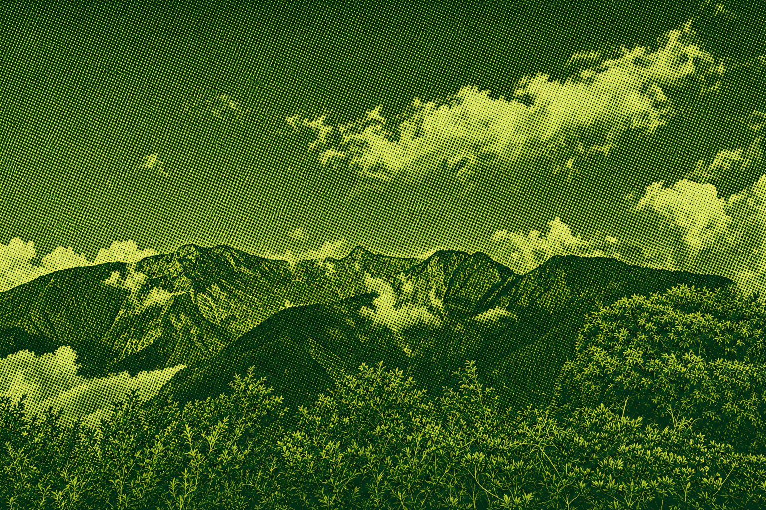
Tung Po Mountain is located at the junction of the Yushan Mountains and the Alishan Mountains. The peak is well viewed, centered on Tung Po Mountain and offers a 360-degree view of the surrounding mountains. The trail is only 800 meters long. Although it is uphill from the summit to the summit, the ground is full of pine needles along the road. Walking on soft ground on the soft ground, watching the alpine flora and fauna and the Chongshan ridge are not tiring. After 400 meters, do not forget to stop for a moment, and the observation deck can have a great view. You can see all of the peaks of the Yushan Mountains, Luilin Mountains, Linkei Mountains, the peaks of the Alishan Mountains, and even the Guanshan Mountains in the south and the western mountains in the north.
 Download GPX
Find this route and more in the WayMe app.
Scan with your phone to download WayMe.



The Tataga Trail, also known as the Great Iron Cedar Trail, starts from the Tataga Visitor Center. Along the way, you can enjoy the view of the mountain peaks on the northwest side of Yushan. You can enjoy the huge and beautiful shape of an umbrella-shaped tree at the top of the Tataga Trail. It is famous on the Tagaga Trail, which is 800 years old. Follow the Nanxi Forest Road to the Tataga Saddle and glimpse the gateway to Yushan Mountain, where birdsong and Taiwanese kiwis wander through the forest when you are lucky enough to see protected species of pheasants. TATAKA RECREATION AREA IN THE NORTHWEST PARK OF YUSHAN NATIONAL PARK. TATAKA (TATAKA) IS AN INDIGENOUS LANGUAGE OF THE ZU PEOPLE, A LAND OF WIDE, PLATEAU GRASSLAND, AT AN ALTITUDE OF 2610 METERS. IT IS THE HIGHEST POINT OF THE NEW ZHONGJIANG HIGHWAY, THE JUNCTION OF THE TAI 18 LINE AND TAI 21 LINE. Tataga East looks at the peaks of the Yushan Mountains, the mountains and the Tama Mountains to the west. There are often views of the cloud sea and the mountain range. In spring, the red-streaked Mori azaleas bloom everywhere, and in autumn and winter, Taiwan's red maple is dyed with red mountains.
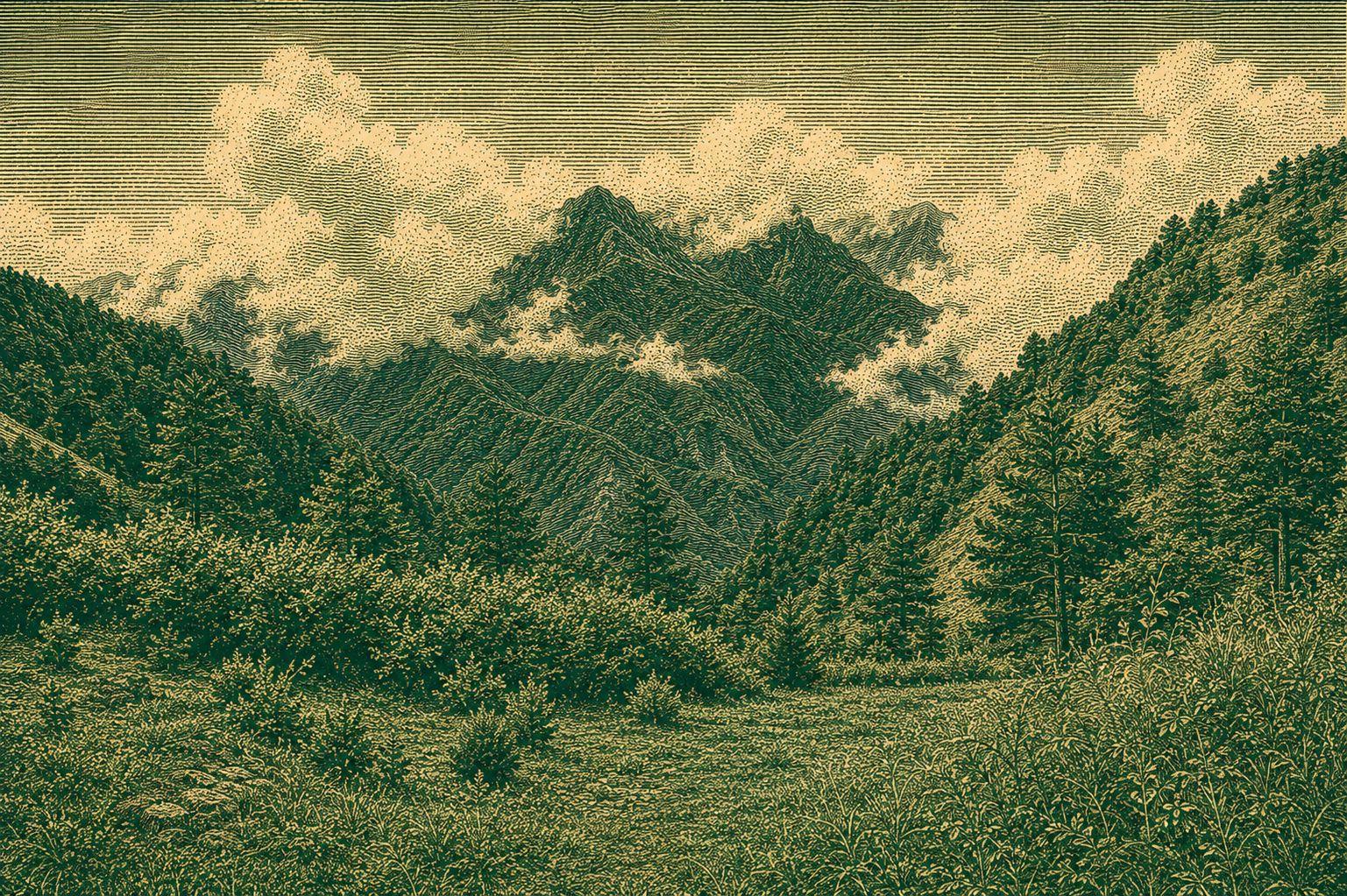
Although there are no triangles, there are excellent views from the top of Mt. Linke Mountain, where you can see the mountains surrounded by the main peaks of Yuyama, West Peak and Alishan Mountains. The former name of Dazhu Mountain, named after the establishment of Yushan National Park, was renamed Linzhi Mountain, and only recently changed to Lintoke Mountain. The Linkiyama Trail is in good condition, and in addition to being a great place to watch the sunrise, it is also a great place for bird watching. Along the way, it is filled with a wide variety of alpine plants and mid-altitude seabirds. Visit this trail to fully enjoy the creator's beautiful creations.
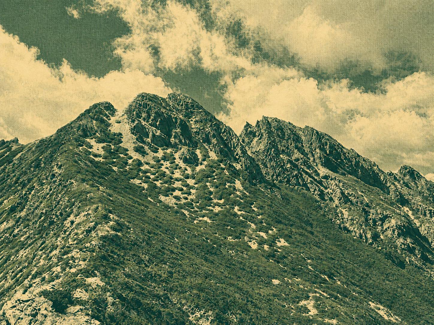
Located in the center of Taiwan, Yushan Mountain is surrounded by east, south, west, and north peaks, and around the main peak, Qian Peak, Xionan Mountain, South Yushan, East Yunnan Mountain, Luoshan, and North North Peak all converge, like an arch of stars, and the glory of the king of the peak. This trail runs approximately 59.2 km from the Tatagatan mountain pass, and in most places above 3,000 meters above sea level. Climbers need extensive mountaineering knowledge, technology and physical strength and endurance. In addition, the ancient mountain temple at the top of West Peak, the large white wood forest and cliffs below the mountain, the rocky slope at the main summit, the grassy slope of Kōnan Mountain and the sea of azaleas in the north, the locked curve of Yushan South Peak, and the jagged ridge of Namyu Mountain are all featured on the route. The route winds east from the Tataga ridge at the end of Yushan West Ridge. Along the way, you can see the forest vary according to the altitude. Along the way, you can see plants such as spruce, fir, fir, yuzhan juniper, yuzhan azalea, and many other alpine grasses, which are not afraid of the harsh mountain environment., swaying colorfully by the side of the road. Especially the towering clouds of the main peak of Yushan, the steep mountain peaks of Yushan Dongfeng, and the remote roads of Lao Shan are more challenging and adventurous.

 Open in Google Maps