宜蘭縣大同鄉,宜蘭縣南澳鄉 Datong Township, Yilan County, Nan'ao Township, Yilan County
Samsung Mountain is the highest peak in the Taiping Mountain Forest Recreation Area. It is the third highest point in the north of the Central Mountains. It is the first peak of the main ridge above 2000 m. It is also the second peak of Mount Xiaobai in Taiwan, located between Duyuan Mountain and Taiping Mountain, and the source of the Guri River Tianxi (Tenguxi). From the ascent up the escarpment, walk into the gintian fir forest, with a pleasant view of the fallen forest. The mountain path is steep, the roots are wide, the spruce leaves are gentle, the birds chirping, and the walking is very comfortable. The middle section of the trail is dense mangrove area, and the back section is all arrow-bamboo thickets, requiring continuous weeding. The mountain area is covered with mists, wet and rainy, and dew can easily soak clothes. When you reach the top of the mountain, you can see all sorts of satellite control points, overgrown trees obscuring the view, there is no view, and the summit is narrow, leaving an abandoned observation deck.
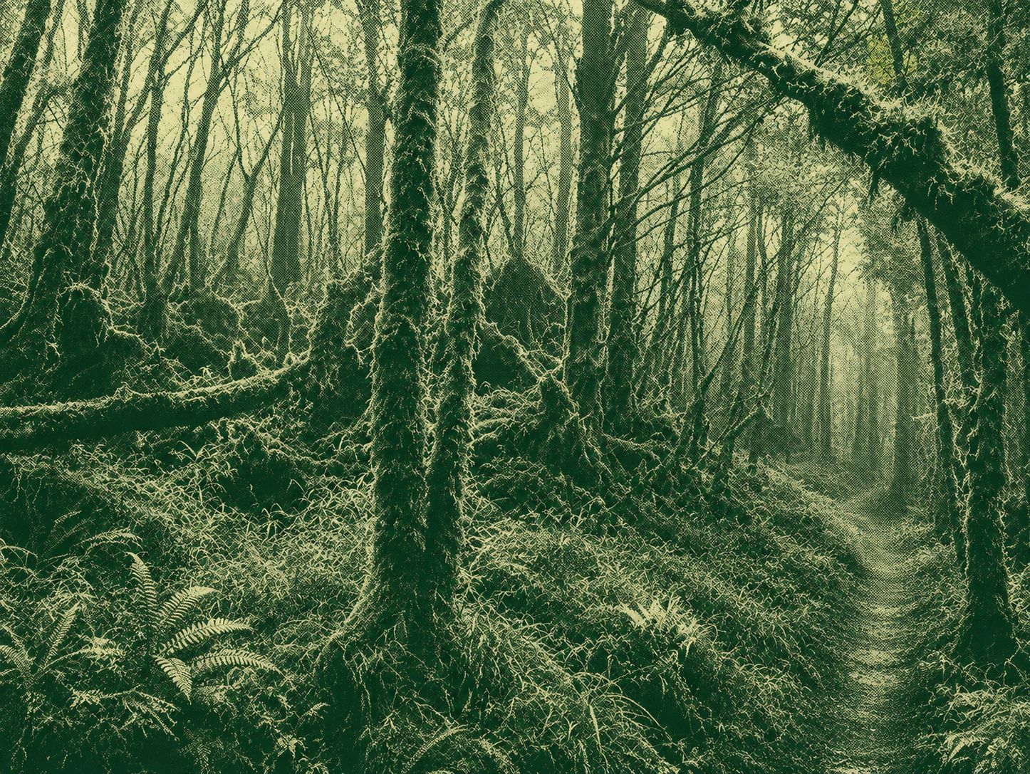
Samsung Mountain is the highest peak in the Taiping Mountain Forest Recreation Area. It is the third highest point in the north of the Central Mountains. It is the first peak of the main ridge above 2000 m. It is also the second peak of Mount Xiaobai in Taiwan, located between Duyuan Mountain and Taiping Mountain, and the source of the Guri River Tianxi (Tenguxi). From the ascent up the escarpment, walk into the gintian fir forest, with a pleasant view of the fallen forest. The mountain path is steep, the roots are wide, the spruce leaves are gentle, the birds chirping, and the walking is very comfortable. The middle section of the trail is dense mangrove area, and the back section is all arrow-bamboo thickets, requiring continuous weeding. The mountain area is covered with clouds, wet and rainy, and dew can easily soak clothes. When you reach the top of the mountain, you can see all sorts of satellite control points, overgrown trees obscuring the view, there is no view, and the summit is narrow, leaving an abandoned observation deck.
Download GPXFind this route and more in the WayMe app.
Scan with your phone to download WayMe.


宜蘭縣大同鄉,宜蘭縣南澳鄉 Datong Township, Yilan County, Nan'ao Township, Yilan County
 Open in Google Maps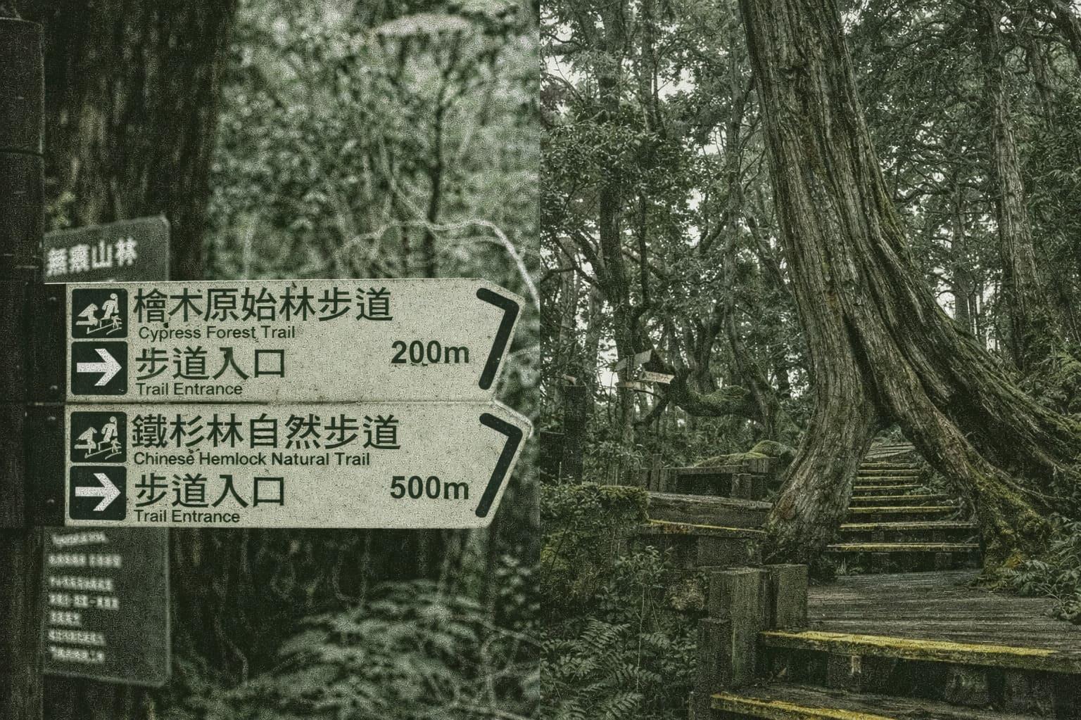
The Yuanshilin Trail is in the Virgin Forest Park, the virgin red cypress forest behind Taipingshan Villa. The forest kept to conserve water for the villa has become a wonderful spot for forest bathing.
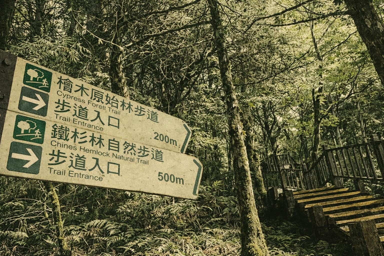
Nestled in the misty mid-altitude zone where coniferous and broadleaf forests meet, the Hemlock Forest Natural Trail is perpetually shrouded in clouds and fog from ocean vapors. This ethereal setting supplies water to nearby Taipinghan Villa and evokes an air of mystery. The 2.5-hour round trip begins behind the virgin forest above the villa, after ascending 400 steps flanked by vibrant purple-leaf maples that form a striking red tunnel. Along the path, towering ancient hemlocks with thick canopies block most sunlight, leaving a constant haze like drifting smoke in the air.
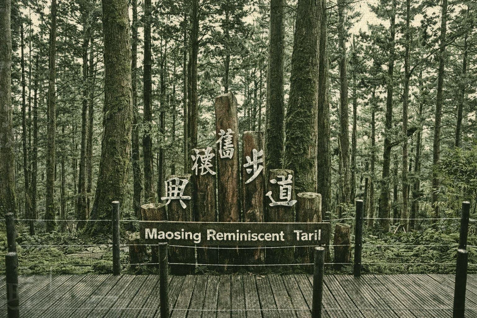
Starting at Bong Bong Train’s Maoxing Station platform, the Maoxing Reminiscent Trail follows the historic railway bed of the old logging line. The gentle ascent features rest areas and clear signage. Winding through majestic Taiwan red cypress, yellow cedar, and Japanese cedar groves, the path is lined with shade-loving ferns, low shrubs, and lush ground cover. Hikers pass weathered rails, worker cabins, and mountain streams—silent witnesses to Taiping Mountain’s once-thriving timber era.
