香港新界西貢清水灣道五塊田 Ng Fai Tin, Clear Water Bay Road, Sai Kung, New Territories
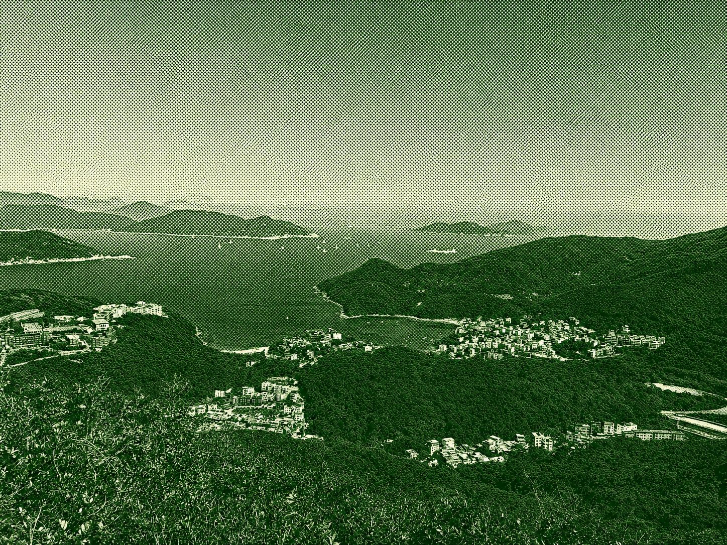
High Junk Peak is a sharp, rugged mountain in the Clear Water Bay area of Hong Kong, well known for its steep and challenging hiking trail. At about 344 meters high, it offers one of the most dramatic coastal views in the region, overlooking Clear Water Bay, Port Shelter, and nearby islands. The final ascent involves exposed rocky paths, making it more suitable for experienced hikers. Despite its difficulty, it is a popular destination because of its stunning panoramic scenery and rewarding summit views.
 Download GPX
Find this route and more in the WayMe app.
Scan with your phone to download WayMe.


香港新界西貢清水灣道五塊田 Ng Fai Tin, Clear Water Bay Road, Sai Kung, New Territories
 Open in Google Maps
Forecast near the start point
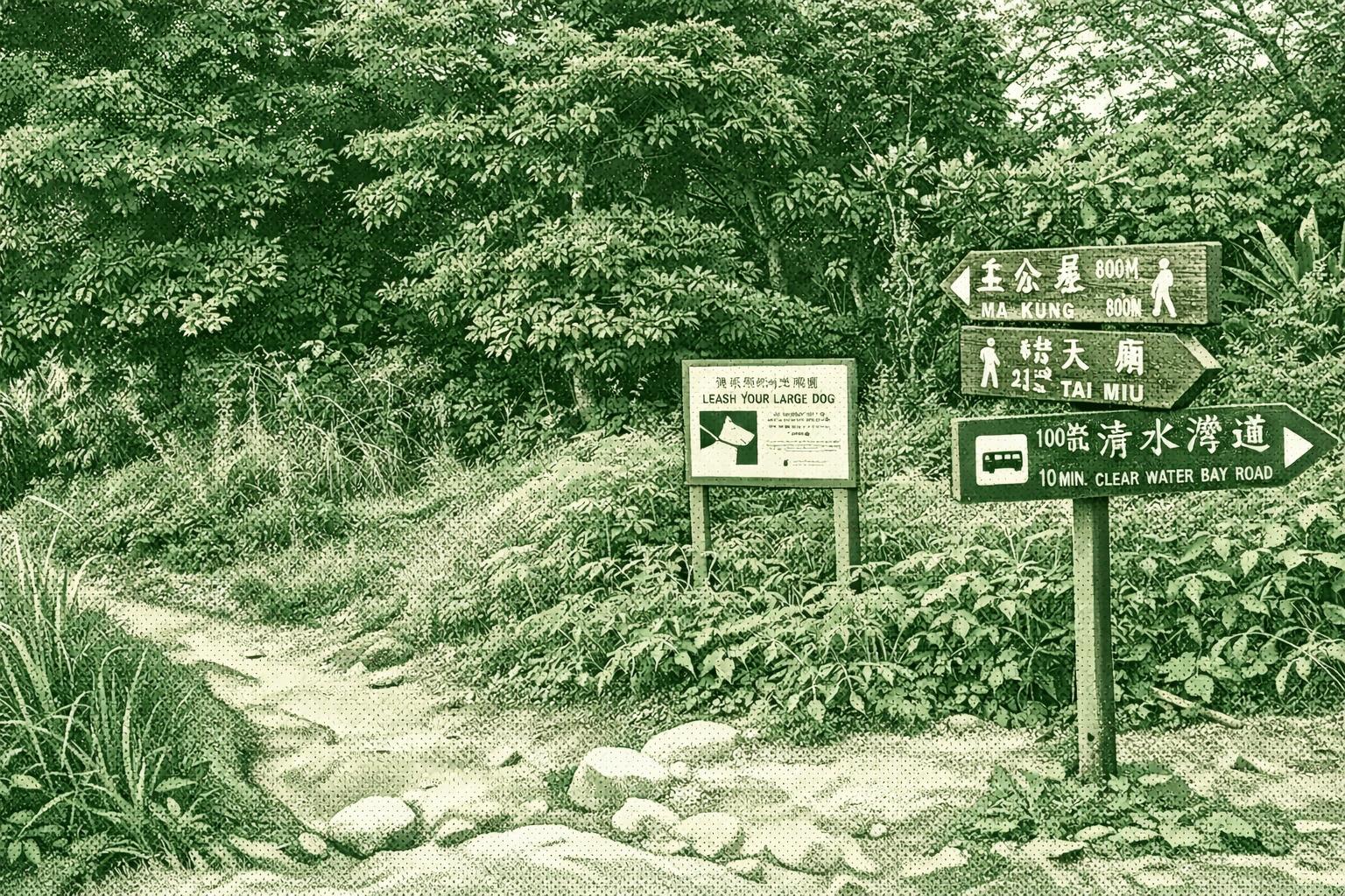
High Junk Peak (344m) ranks among Sai Kung’s steepest climbs with Sharp Peak and Tai Yue Ngam Teng. The trail crosses Clearwater Bay Country Park, passing bays and ridges separating Tseung Kwan O from rural views. Its shape evokes a fisherman’s hat and cape. Enjoy turquoise seas and distant Ninepin Group vistas. Ends at 1266 Tin Hau Temple and 1274 Southern Song inscription.
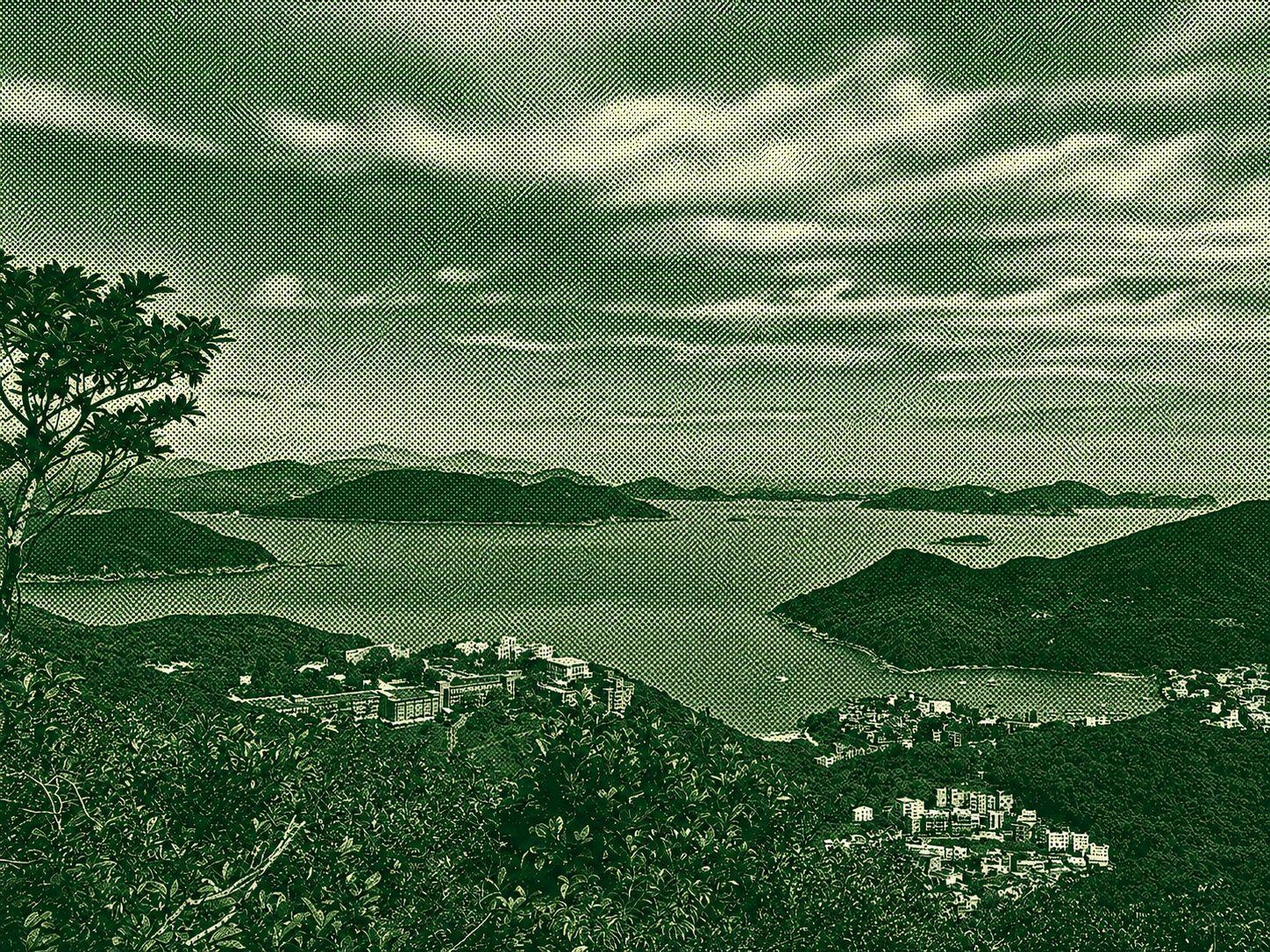
The Pan Long Wan to Tei Tong Tsui route is a beautiful coastal hike in Hong Kong, featuring peaceful village trails, rugged seaside landscapes, and impressive views of the surrounding waters and islands. The trail begins through quiet countryside scenery before leading hikers toward coastal areas with rocky cliffs, uneven terrain, and wide-open sea vistas. Combining easy walking sections with more demanding stretches, the route requires some caution on rough surfaces but rewards those looking for a quieter and more natural hiking experience. Throughout the journey, hikers can enjoy the region’s untouched coastal environment, remote scenery, and the unique blend of traditional rural areas with wild shorelines. Overall, this trail offers a peaceful yet adventurous escape that highlights Hong Kong’s coastal beauty and natural charm.
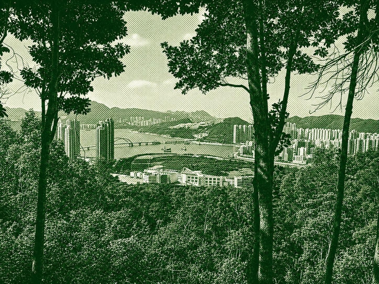
This moderate one-way hike covers approximately 6.9 km with a balanced mix of climbs and descents. The route gains around 408 meters in elevation and descends about 505 meters, reaching a maximum height of 335 meters. Hikers can expect a rewarding trail experience with steady uphill sections, natural surroundings, and scenic views along the way. The moderate difficulty makes it suitable for hikers with some trail experience and average fitness. Proper footwear, water, and preparation are recommended to fully enjoy the journey.
