土地灣,南區(香港) To Tei Wan, Southern
The To Tei Wan – Hok Tsui Wan (Cape D'Aguilar Marine Reserve Park) trail is a scenic coastal hike that leads to the southeastern tip of Hong Kong Island, featuring dramatic cliffs, rugged shorelines, and breathtaking ocean views. The route passes through open hillsides and rocky coastal paths before reaching the marine reserve, where hikers can admire unique geological formations and the rich marine environment. The trail is moderately challenging, with a mix of gradual climbs and uneven terrain suitable for hikers with a reasonable level of fitness. Along the way, visitors can enjoy panoramic views of the South China Sea and several well-known landmarks around Cape D'Aguilar. Carrying sufficient water, sun protection, and sturdy footwear is recommended, as much of the route is exposed with limited facilities. This hike is an excellent choice for those seeking spectacular coastal scenery, fascinating natural features, and a peaceful escape from the city.
 Download GPX
Find this route and more in the WayMe app.
Scan with your phone to download WayMe.


Forecast near the start point
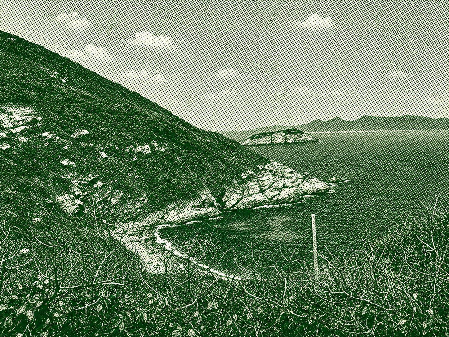
This coastal route explores the rugged southeastern tip of Hong Kong Island around Cape D’Aguilar, known for its dramatic cliffs, volcanic rock formations, and exposed ocean viewpoints. The trail winds through narrow footpaths and rocky shoreline sections, with constant views of crashing waves and offshore islets. Along the way, hikers pass notable natural and historical spots such as sea caves, blowholes, and the old lighthouse area within the Cape D’Aguilar Marine Reserve. It’s a relatively short but exposed hike, offering a raw coastal landscape that feels far removed from the city.

Dragon’s Back, hailed as “Asia’s best urban hike,” traces the ridgeline from Shek O Peak to Wan Cham Shan, its rolling hills resembling a dragon’s spine. Starting near To Tei Wan on Hong Kong Trail Section 8, enjoy early views of Tai Tam Bay and Harbour, then ascend to Shek O Peak for sweeping vistas of Shek O Wan and southern islands. The trail ends with a shaded descent around Mount Collinson to Tai Tam Gap in about 2.5 hours. A truly unforgettable experience!

This scenic one-way hike to Big Wave Bay covers approximately 10.56 km, offering a moderate challenge with 223 meters of elevation gain and 353 meters of descent. The trail reaches a maximum elevation of 288 meters, rewarding hikers with panoramic coastal views, lush vegetation, and a gradual descent toward the beach at Big Wave Bay. While the route is generally accessible for hikers with a reasonable level of fitness, sections of uneven terrain and changing elevations require appropriate footwear and caution. Hikers should also be aware of the area's abundant wildlife, particularly the presence of large spiders commonly found along the forested sections of the trail. Although firsthand accounts suggest that their bites can be quite painful, they are not considered life-threatening. Staying on the marked path and avoiding contact with wildlife will help ensure a safe and enjoyable hiking experience.

 Open in Google Maps