下灣村 Ha Wan Tsuen
This circular hike explores a variety of Greenway routes through the scenic suburbs of Shenzhen. The trail combines paved off-road paths with a more rugged bush section near Meilin Reservoir, featuring natural terrain and numerous stone steps. The northern section provides a more adventurous hiking experience, while the remaining route offers a relaxed walk through green and leafy surroundings. Although most of the trail is accessible and well-maintained, the rougher sections may be challenging for some hikers. This route is ideal for those looking to experience the contrast between Shenzhen’s urban green spaces and quieter natural landscapes.
 Download GPX
Find this route and more in the WayMe app.
Scan with your phone to download WayMe.


Forecast near the start point
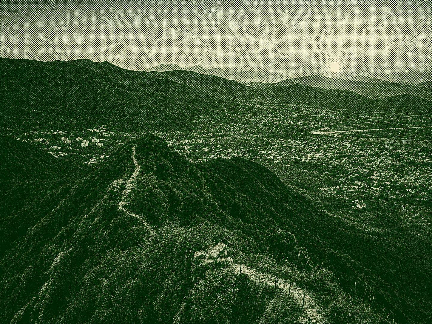
The Tai To Yan Hike is a demanding mountain trail in Lam Tsuen Country Park, Hong Kong, known for its steep climbs and the iconic "Razor's Edge" ridgeline. Along the route, hikers are rewarded with breathtaking views of Lam Tsuen Valley, Yuen Long, Pat Sin Leng, and even Shenzhen on clear days. The trail features rugged paths, exposed ridges, and significant elevation changes, making it ideal for experienced hikers with a strong fitness level. Its dramatic scenery and rewarding summit views have made Tai To Yan one of Hong Kong's most celebrated hiking destinations.

Lau Shui Heung’s circular trail, though tree-shaded, climbs 300 meters and demands decent fitness. From the start, veer left up steps; after 300m, pause at the viewpoint overlooking the serene irrigation reservoir. Ascend 1km more, bear right toward Kau Lung Hang Shan to reach the route’s summit at the second junction. Continue to Kat Tsai Shan Au—once fragrant with pre-war calamondin groves. Another kilometer passes the campsite and Lung Shan Bridge, where rushing water signals the reservoir’s proximity. A left-side bridge leads to the bald cypress grove. Dubbed the “forest sky mirror,” this post-WWII reservoir enchants with morning mists and windless reflections of towering paper-bark trees. Now a beloved spot, holiday-goers picnic and snap photos by its magical shores.
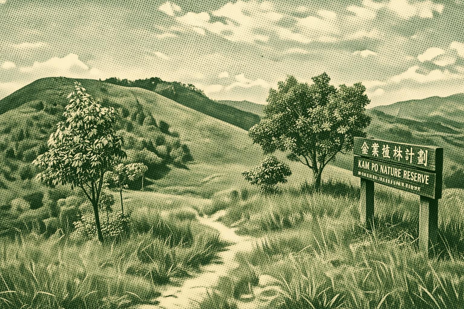
Discover Yuen Long’s stunning landscapes on the Tai Lam Chung Country Trail, starting near Tai Lam Tunnel. Climb past eroded slopes for sweeping views of plains, villages, and reservoirs, ending at the historic, century-old Kat Hing Bridge—a perfect spot for reflection amid merging streams.

 Open in Google Maps