營盤下,中西區 Ying Pun Ha, Central and Western
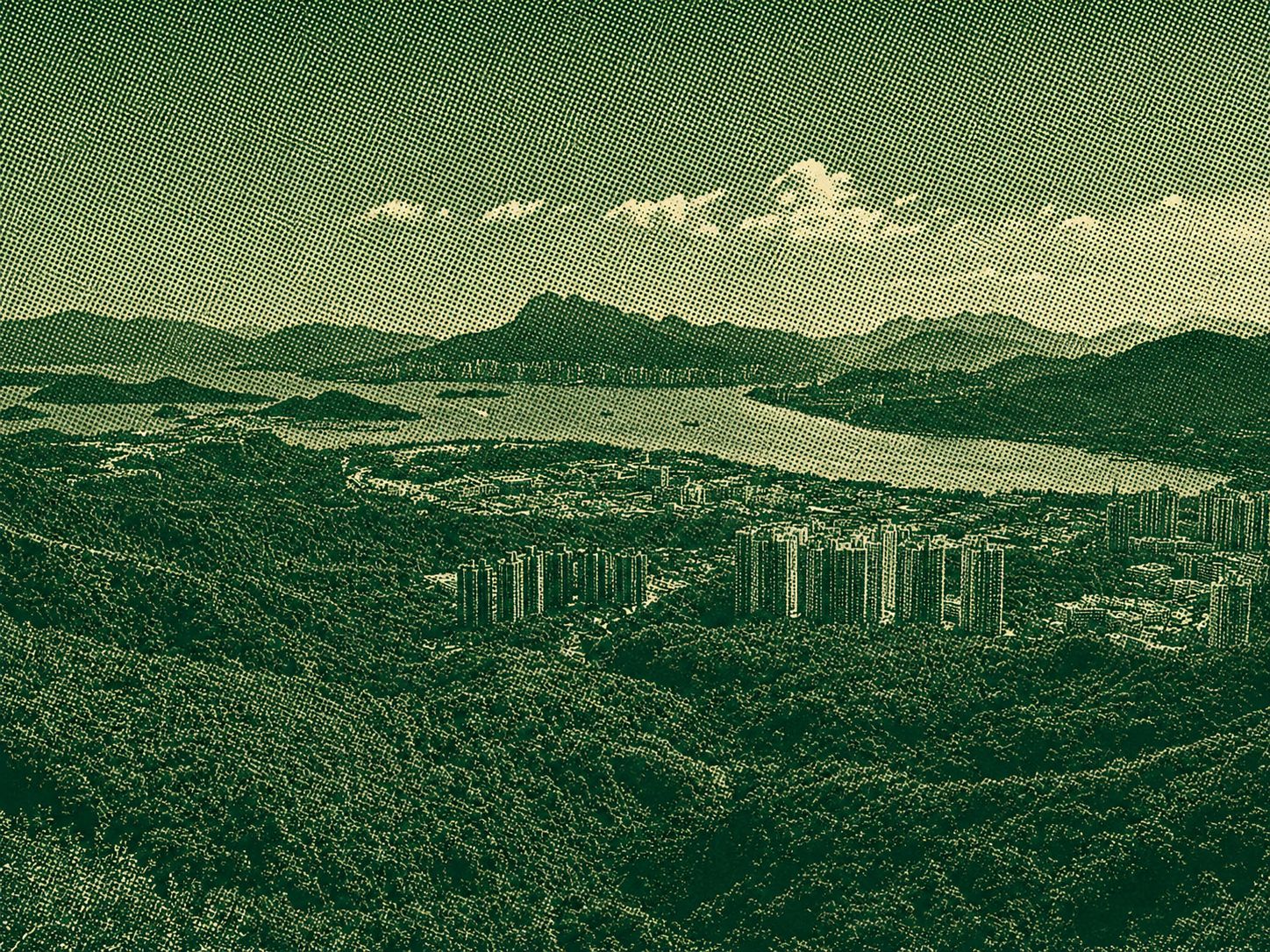
The trail from Ying Pun Ha to Tai Wo offers a peaceful journey through Hong Kong’s natural landscapes and several scenic mountain points. Hikers pass Yuk Sau Fung and Cloudy Hill, following forest paths, gentle climbs, and quiet countryside sections. Away from the city’s busy atmosphere, the route provides a refreshing experience surrounded by greenery and open views. Its gradual progression between peaks suits hikers who enjoy exploring less crowded trails with a modest sense of adventure. Overall, this relaxing route highlights Hong Kong’s hidden natural beauty while connecting rural communities, wooded slopes, and rewarding mountain scenery throughout the year.
 Download GPX
Find this route and more in the WayMe app.
Scan with your phone to download WayMe.


Forecast near the start point
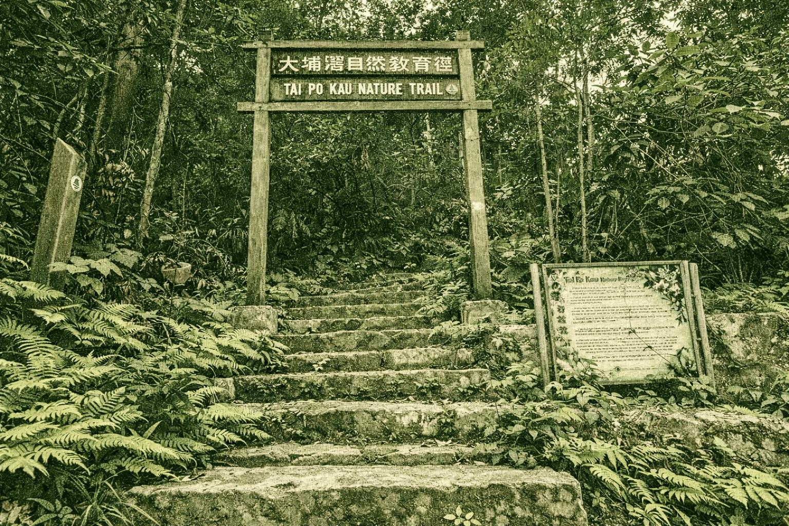
Discover Tai Po Kau Nature Trail in the heart of the reserve, a biodiversity haven boasting over 100 tree species, many native. Spot Fragrant Litsea (its oil yields perfume, fruit liquid repels insects), elusive Giant Bean vines bridging trees like aerial cables, and thriving Chestnut Oaks—once felled for tools, now blanketing stone paths with leaves that softly reclaim the land. Year-round birds enchant: Chestnut Bulbul, Silver-eared Mesia, Grey-chinned Minivet; winter brings Grey-backed Thrushes and wagtails; spring/summer reveals owls, cuckoos, and Hainan Blue Flycatchers amid lush secondary forest.
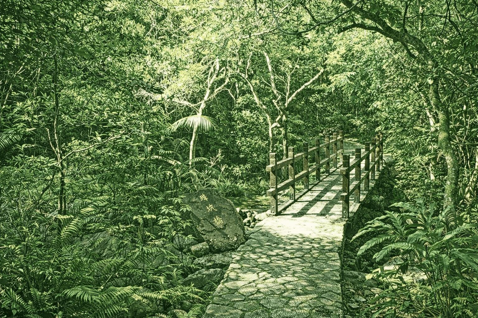
Hok Tau Reservoir, built in 1968 in Pat Sin Leng Country Park, transformed former streams and marshes into an irrigation source. Choose the gentle left uphill path or the steep “68 steps” right route—both reward with sweeping reservoir views from the ridge. This narrow, winding 0.18-million-cubic-metre body features an arched bridge, aerial dam vistas, diverse butterflies and dragonflies (including rare Macromidia ellenae), plus Hong Kong’s unique fish Macropodus hongkongensis. Barbecue and camping spots make it perfect for family nature escapes.
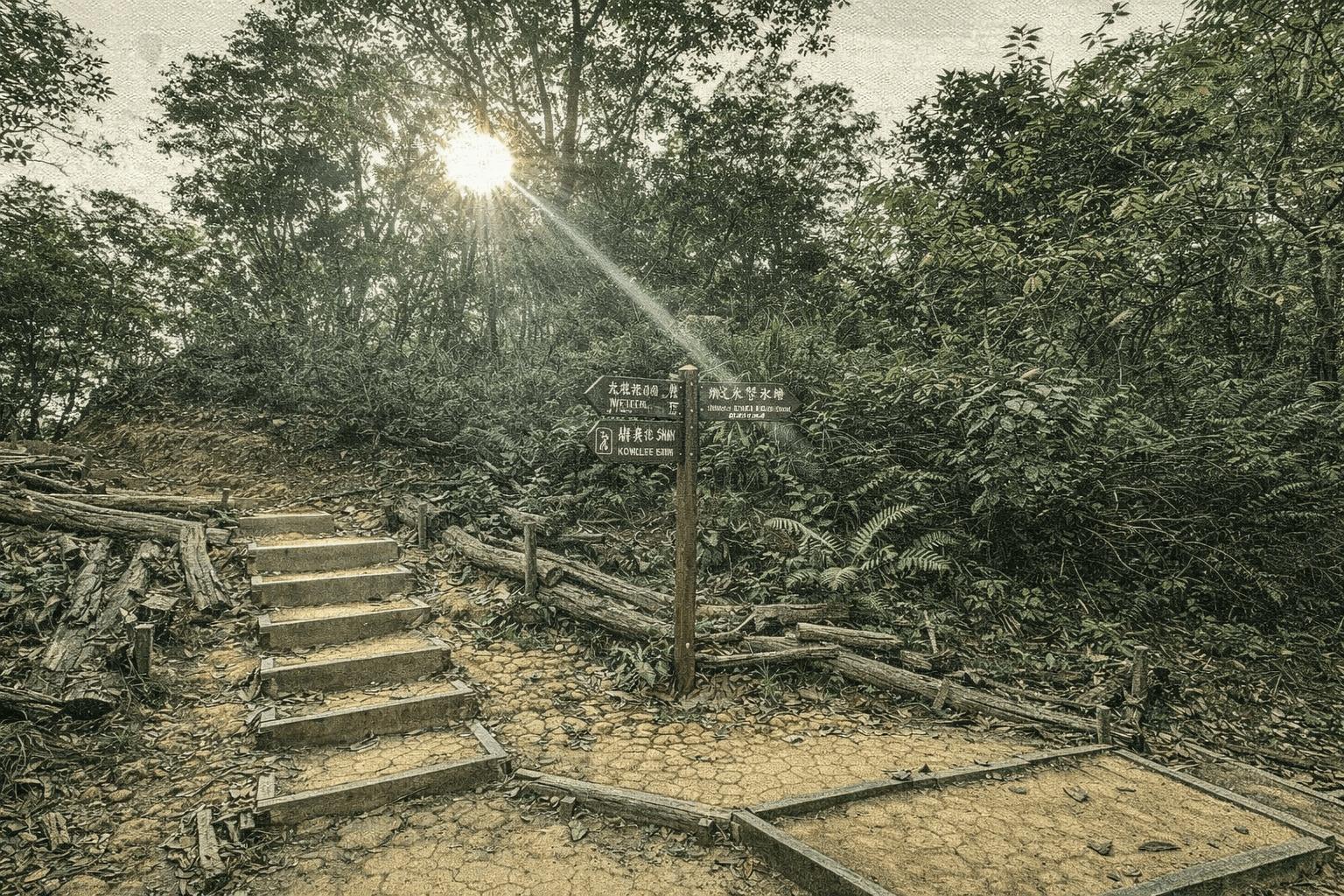
Lau Shui Heung’s circular trail, though tree-shaded, climbs 300 meters and demands decent fitness. From the start, veer left up steps; after 300m, pause at the viewpoint overlooking the serene irrigation reservoir. Ascend 1km more, bear right toward Kau Lung Hang Shan to reach the route’s summit at the second junction. Continue to Kat Tsai Shan Au—once fragrant with pre-war calamondin groves. Another kilometer passes the campsite and Lung Shan Bridge, where rushing water signals the reservoir’s proximity. A left-side bridge leads to the bald cypress grove. Dubbed the “forest sky mirror,” this post-WWII reservoir enchants with morning mists and windless reflections of towering paper-bark trees. Now a beloved spot, holiday-goers picnic and snap photos by its magical shores.

 Open in Google Maps