坑背,離島區 Hang Pui, Islands
This coastal hike begins near Shek Pik and follows southern Lantau toward Tai Long Wan, passing quiet beaches, traditional villages, and remote campsites. Early sections use clear paths with attractive sea views and opportunities to enjoy sunrise or sunset. Hikers may extend the journey toward the rugged Fan Lau Peninsula, where distinctive historic landmarks, secluded shores, and an abandoned village add interest. The route becomes hillier farther west and requires stronger endurance. Completed as a long day hike or overnight camping trip, it offers an especially rewarding combination of coastal scenery, cultural traces, natural tranquillity, and beautiful remote island landscapes.
 Download GPX
Find this route and more in the WayMe app.
Scan with your phone to download WayMe.


Forecast near the start point
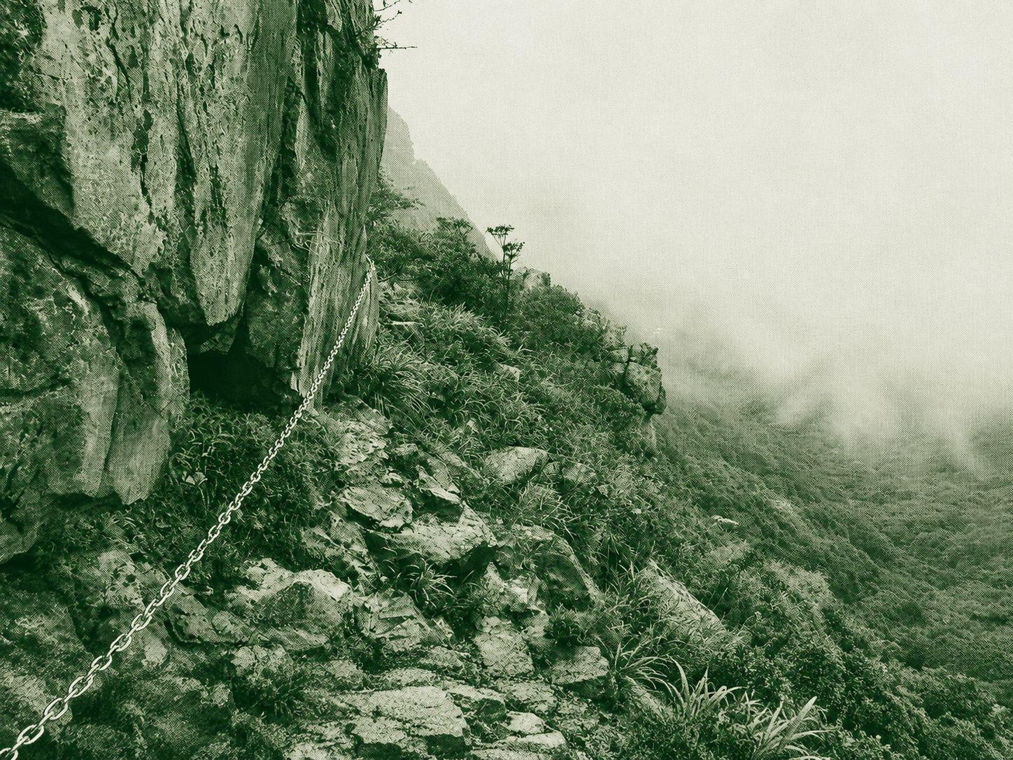
This demanding route climbs West Dog Teeth Ridge to Lantau Peak through steep ascents, exposed ridgelines, and scrambling sections. The ridge provides spectacular views across Lantau Island and the coast, but offers little shade. After the summit, hikers descend by the Cliffside Trail, where fixed chains assist on steep rocks that may become slippery after rain. Navigation requires close attention because parts of the forest descent are faint and marked mainly by ribbons. Suitable only for experienced hikers with strong fitness and scrambling skills, the route delivers technical terrain, dramatic landscapes, and exceptionally rewarding summit views in cool, dry conditions.

West Dog's Teeth to Lantau Peak is a scenic and adventurous route featuring rocky climbs, bouldering sections, and a summit at Hong Kong’s second-highest peak (934 m). Starting from Shek Pik, the trail passes through the rugged West Dog’s Teeth ridge before descending via the Wisdom Path, Tian Tan Big Buddha, and Ngong Ping Rescue Trail. The route is well-marked with shaded sections and offers a moderate challenge with rewarding mountain views.

This route starts at Sha Lo Wan and climbs toward Ngong Ping using the Ngong Ping Rescue Trail. Quiet forested slopes, steady ascents, and established paths provide a practical alternative to busier tourist approaches. Dense woodland supplies shade for much of the journey and creates a peaceful atmosphere. During poor weather, hikers should remain on the designated rescue trail and avoid nearby scrambling routes, which can become slippery and hazardous. With gradual elevation gain, mountain surroundings, and a tranquil setting, this enjoyable route suits hikers seeking a less crowded, non-technical approach to Ngong Ping. Dry weather is recommended for safety.

 Open in Google Maps