Garut, West Java
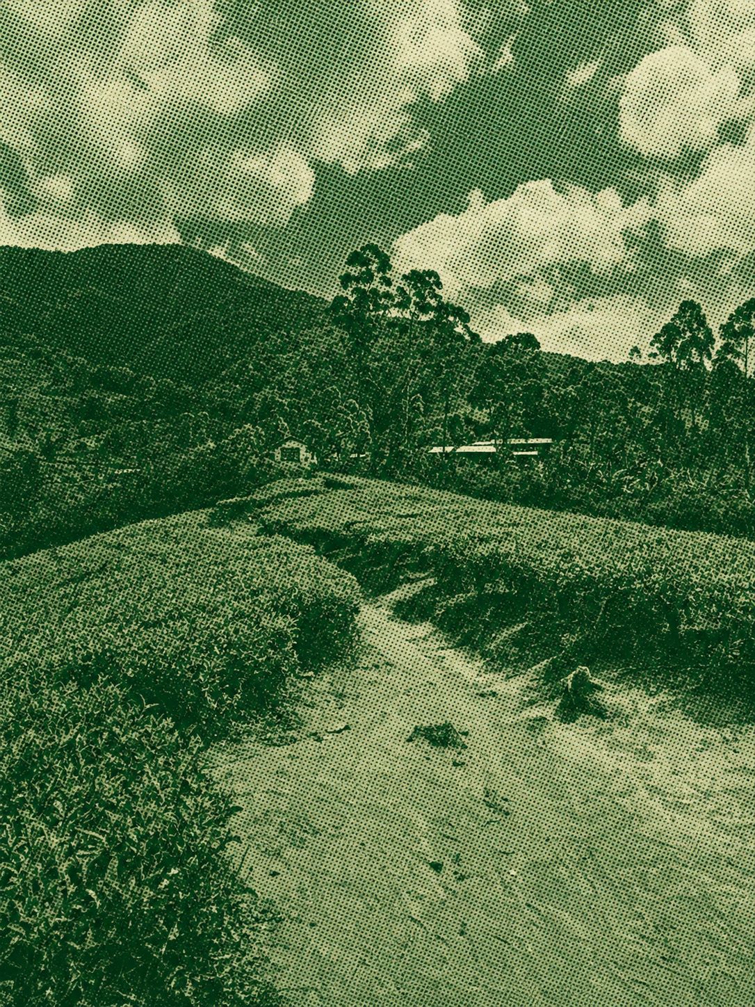
Gunung Cikuray via the Pemancar Trail is the most popular route to the 2,821-meter summit, the highest mountain in Garut Regency. Starting near the Cilawu TV transmitter, the trail passes tea plantations before climbing steeply through dense montane forest to panoramic summit camps. Hikers typically reach the peak in 5–7 hours, making it suitable for a challenging day hike or an overnight trek. The route is well-known for its continuous ascent and spectacular sunrise views over West Java.
 Download GPX
Find this route and more in the WayMe app.
Scan with your phone to download WayMe.


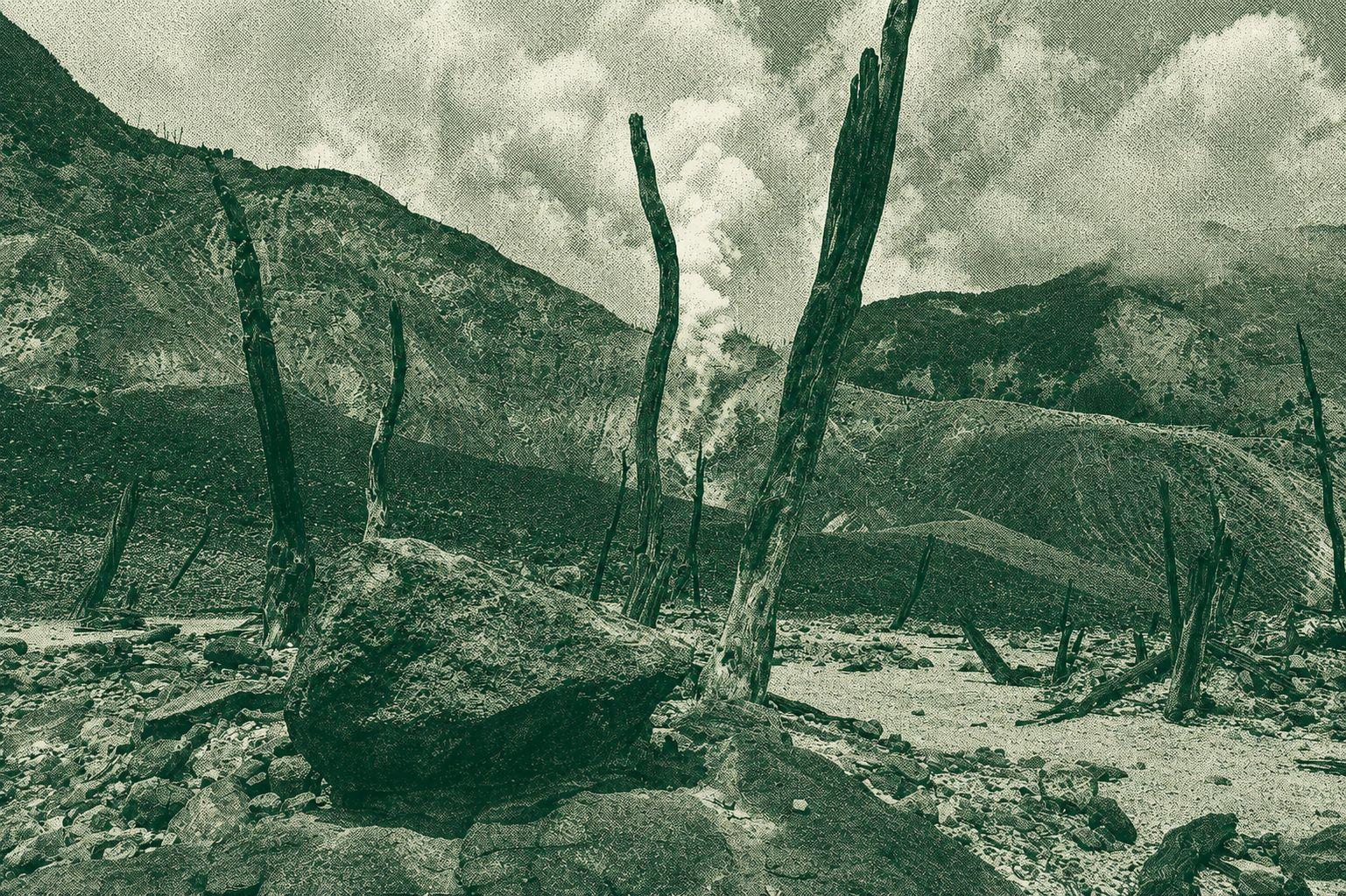
Mount Papandayan is an active stratovolcano in West Java, famous for its steaming craters, sulfur vents, colorful volcanic landscape, and the Dead Forest (Hutan Mati). The hike is considered one of the most accessible volcano treks in Indonesia, offering scenic trails through alpine meadows, edelweiss fields, and volcanic terrain. It is a popular destination for hiking, camping, photography, and sunrise viewing.
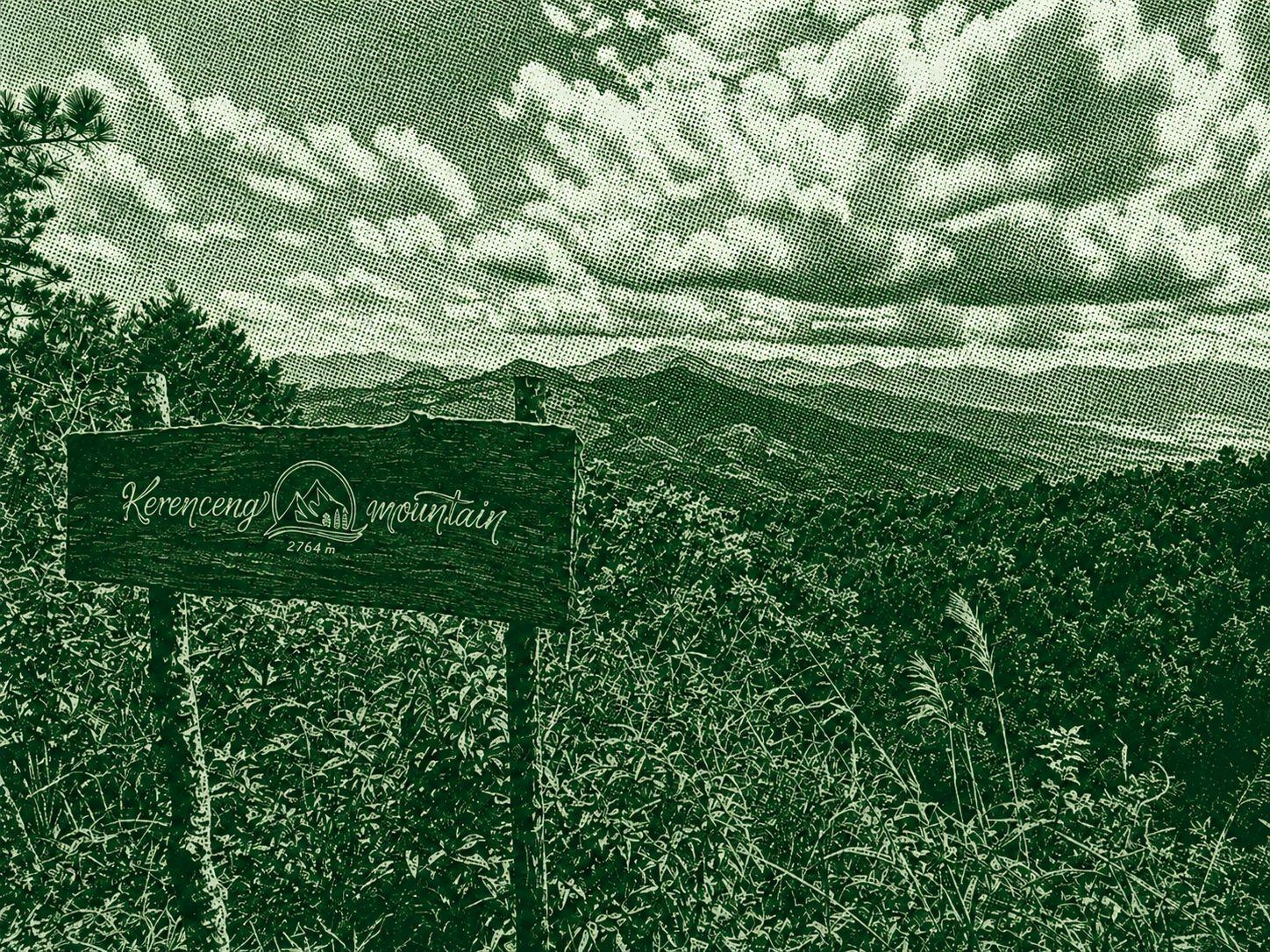
The Sindulang Jambu Air route is a scenic hiking trail to the summit of Mount Kerenceng in West Java. The trail passes through pine forests, tropical vegetation, and open ridgelines before reaching the summit, where hikers are rewarded with panoramic views of the surrounding mountains and valleys. This moderately challenging route is suitable for hikers seeking a quieter alternative to the region's more popular peaks.
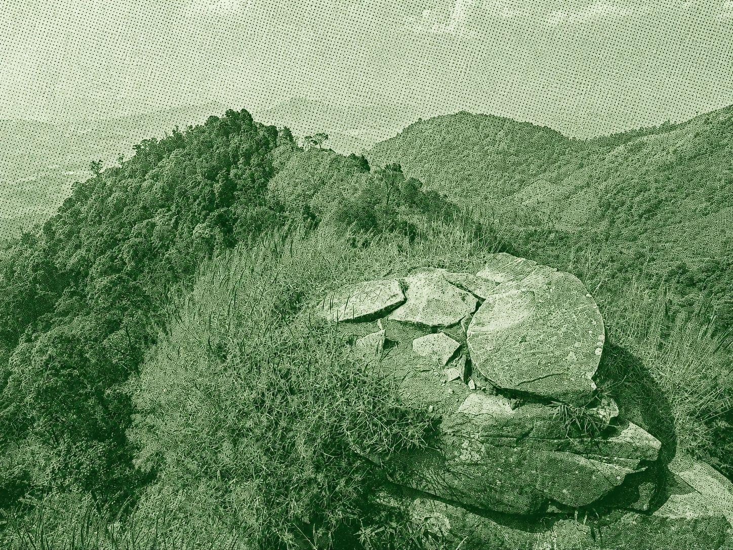
Mount Sangar is a mountain in the Mount Rinjani National Park area on Lombok Island, West Nusa Tenggara. The hike passes through tropical forests, open grasslands, and rugged volcanic terrain, offering spectacular views of Mount Rinjani, surrounding valleys, and the island's coastline. The route is popular with experienced hikers seeking a quieter alternative to the main Rinjani trails.

 Open in Google Maps