Lumajang / Malang, East Java
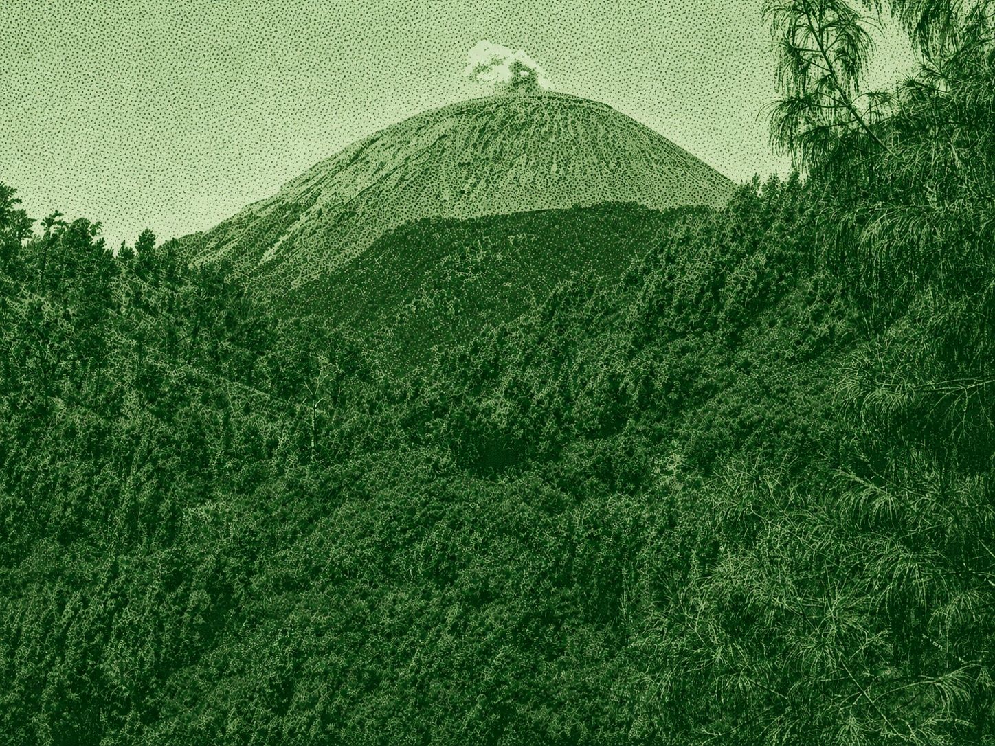
Mount Semeru is the highest mountain on Java, rising to 3,676 meters above sea level within Bromo Tengger Semeru National Park. Known for its active volcanic activity and breathtaking landscapes, the trek passes through forests, alpine meadows, and the famous Ranu Kumbolo Lake before reaching the summit of Mahameru. The hike is challenging and typically takes 2–3 days, making it a favorite among experienced hikers.
 Download GPX
Find this route and more in the WayMe app.
Scan with your phone to download WayMe.


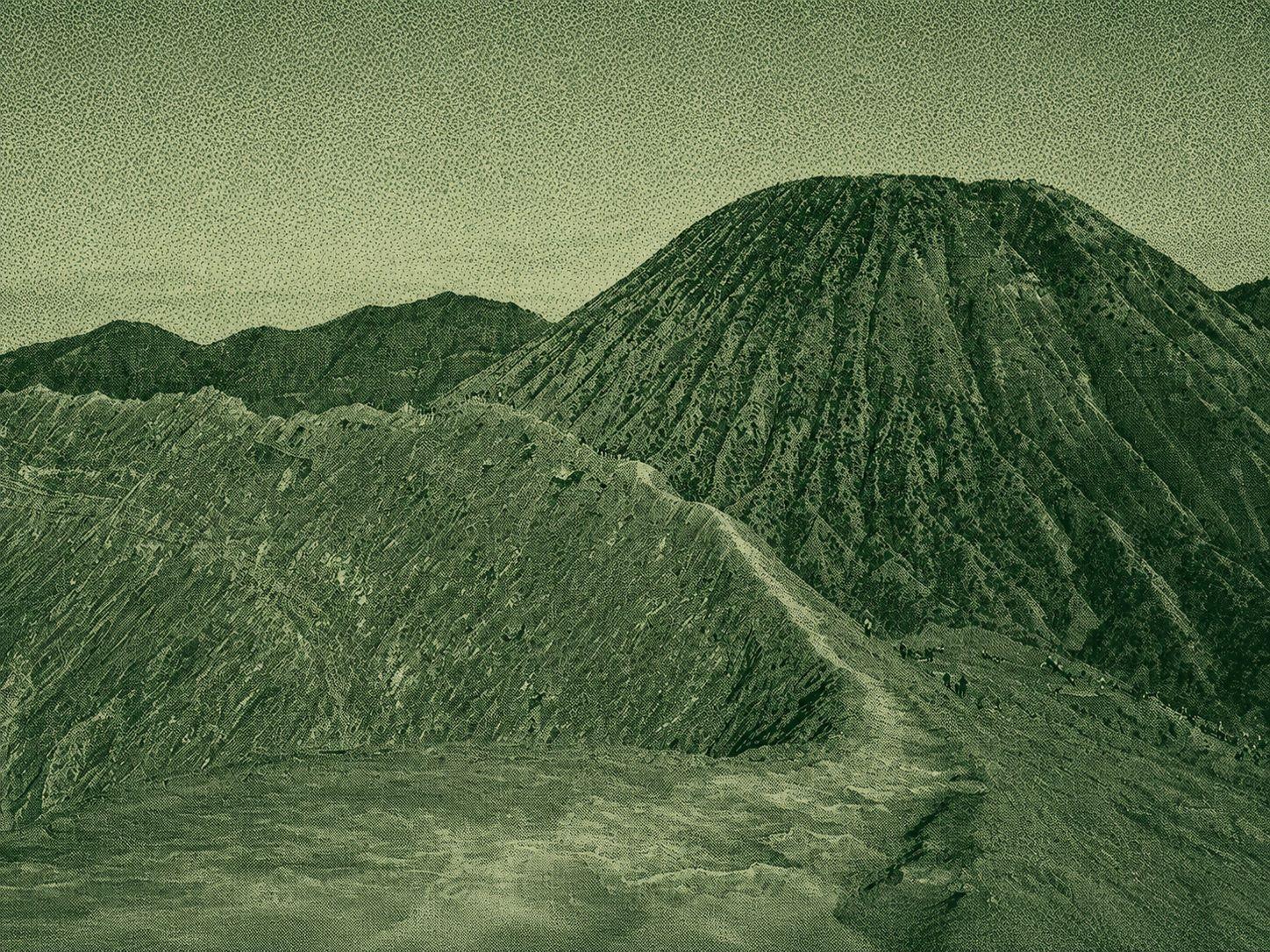
Mount Bromo is one of Indonesia's most iconic active volcanoes, located within Bromo Tengger Semeru National Park in East Java. Famous for its vast Sea of Sand, dramatic crater, and breathtaking sunrise views, it attracts hikers and photographers from around the world. Visitors can hike across the volcanic plain and climb the staircase to the crater rim for spectacular panoramic scenery.
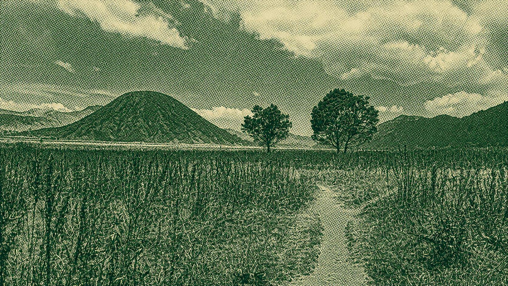
The Mount Bromo Caldera Loop is a scenic hiking route through Bromo Tengger Semeru National Park in East Java. The trail circles the vast Tengger Caldera, passing the Sea of Sand, Mount Bromo's crater, and spectacular volcanic viewpoints. Hikers enjoy dramatic landscapes, panoramic views of the surrounding volcanoes, and the unique beauty of one of Indonesia's most iconic volcanic regions.
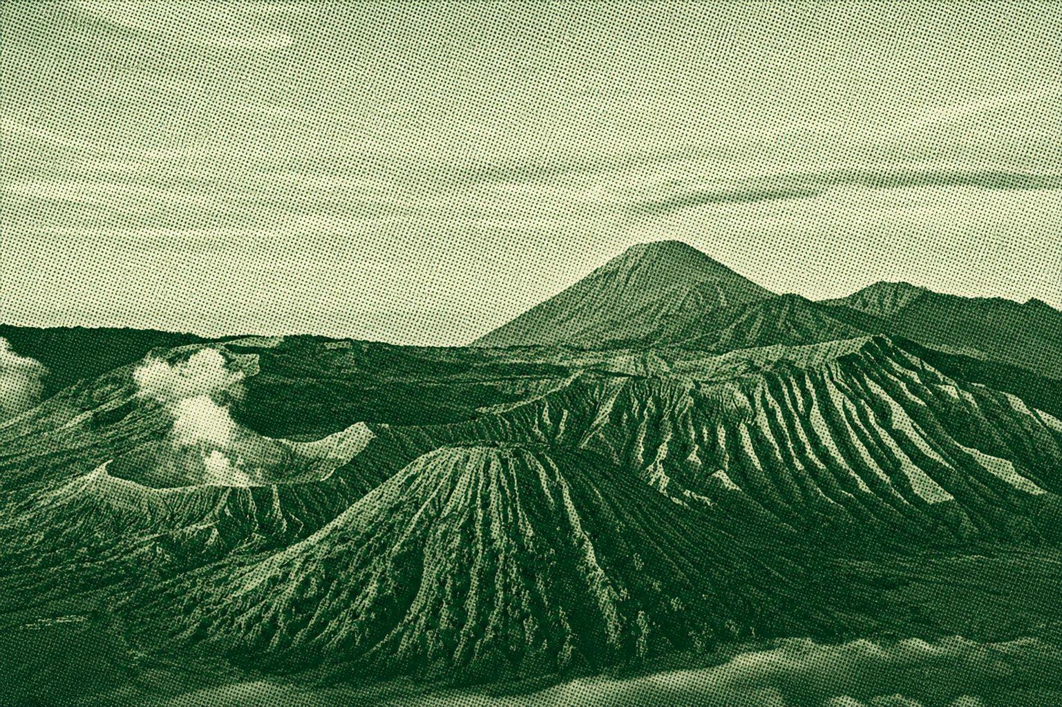
King Kong Hill is one of the most popular sunrise viewpoints in Bromo Tengger Semeru National Park, East Java. Overlooking the Bromo caldera, visitors can enjoy spectacular views of Mount Bromo, Mount Batok, and Mount Semeru, especially during sunrise when the landscape is illuminated by golden light. The viewpoint is easily accessible and is a favorite destination for photographers and nature enthusiasts.

 Open in Google Maps