Kabayan, Benguet
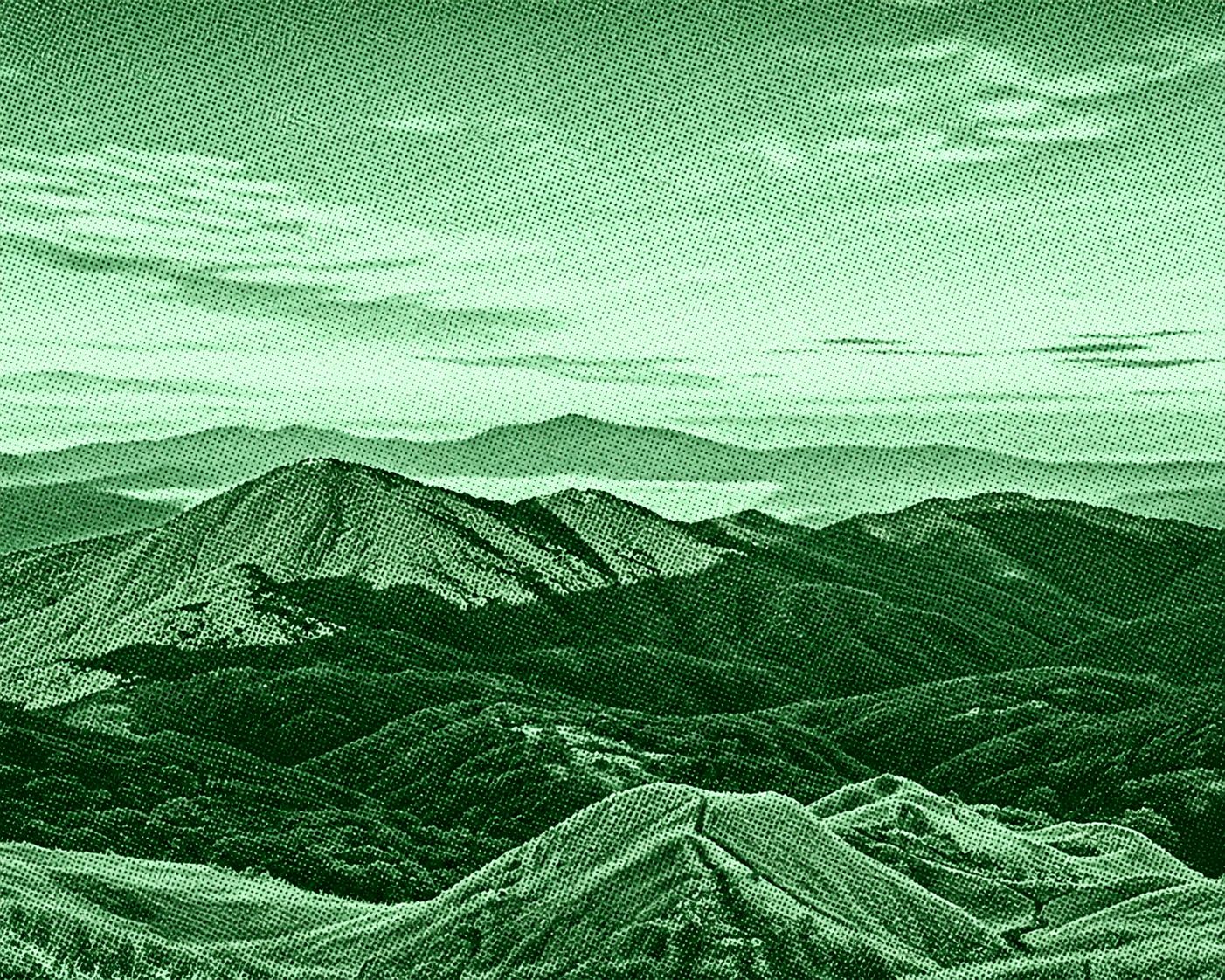
Mount Pulag via Balena is a challenging route to Mount Pulag that begins near Mount Pulag Elementary School along the Balena–Babadak road and connects toward the Akiki jump-off. The approximately 17.9-kilometer route passes through mountainous terrain and offers scenic views of the Cordillera landscape. It is known for its demanding ascent and the possibility of experiencing Mount Pulag’s famous sea of clouds.
 Download GPX
Find this route and more in the WayMe app.
Scan with your phone to download WayMe.


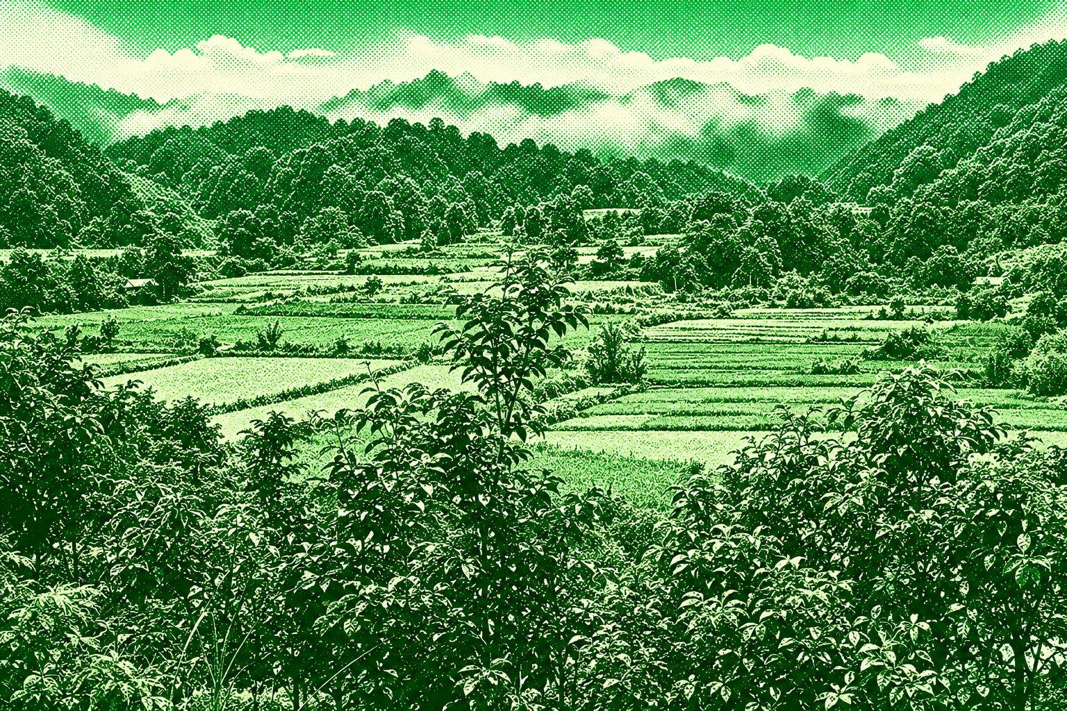
Mount Palansa is a mountain peak in Bakun, Benguet, within the rugged Cordillera landscape. The trail features forested slopes, steep mountain terrain, open ridges, and panoramic views of surrounding peaks and valleys. It is associated with the mountain routes around Bakun and offers a remote hiking experience away from more crowded Benguet destinations.
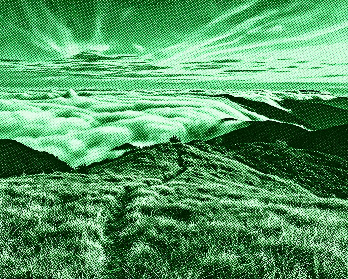
Mount Pulag is Luzon’s highest peak, rising to about 2,926 meters above sea level. The trail passes through pine forests, mossy forests, dwarf bamboo, and expansive grasslands before reaching the summit. It is famous for panoramic Cordillera views, sunrise scenery, and the “sea of clouds.” Several established routes lead toward the mountain, including Ambangeg, Akiki, Tawangan, and Ambaguio.

Mount Andok is a 1,580-meter peak in Kabayan, Benguet. The trail typically starts near Adaoay Elementary School and follows steep uphill sections toward the summit. The route features highland terrain and scenic views of the surrounding Cordillera mountains. It is considered a moderate hike of approximately 7.4 km, taking around 3.5–4 hours.

 Open in Google Maps