Kibungan, Benguet
Mount Tagpaya is a scenic mountain in Kibungan, Benguet, rising to about 1,820 meters above sea level. The trail features pine forests, rocky ridges, rice terraces, and panoramic views of the surrounding Cordillera mountains. It is the first major peak of the Kibungan Circuit and can be reached through the Tanap trailhead.
 Download GPX
Find this route and more in the WayMe app.
Scan with your phone to download WayMe.



Mount Oten Trail is a challenging mountain route in Kibungan, Benguet, reaching roughly 1,875–1,980 meters above sea level. The trail features pine-covered ridges, mossy forests, steep slopes, and expansive views of the Cordillera mountain range. It forms part of the famous Kibungan Circuit, alongside Mount Tagpaya and Mount Tagpew. The route is best suited to experienced hikers because of its demanding terrain and long ascent.
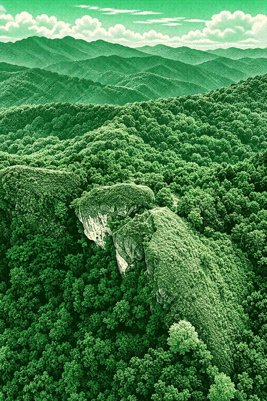
Mount Buga is a scenic peak along the Kibungan Cross Country Trail. The route features steep mountain terrain, forested sections, and views of the surrounding Cordillera landscape, including Kibungan’s renowned rice terraces. The hike is generally considered moderately challenging and takes about 4–5 hours as an out-and-back route.
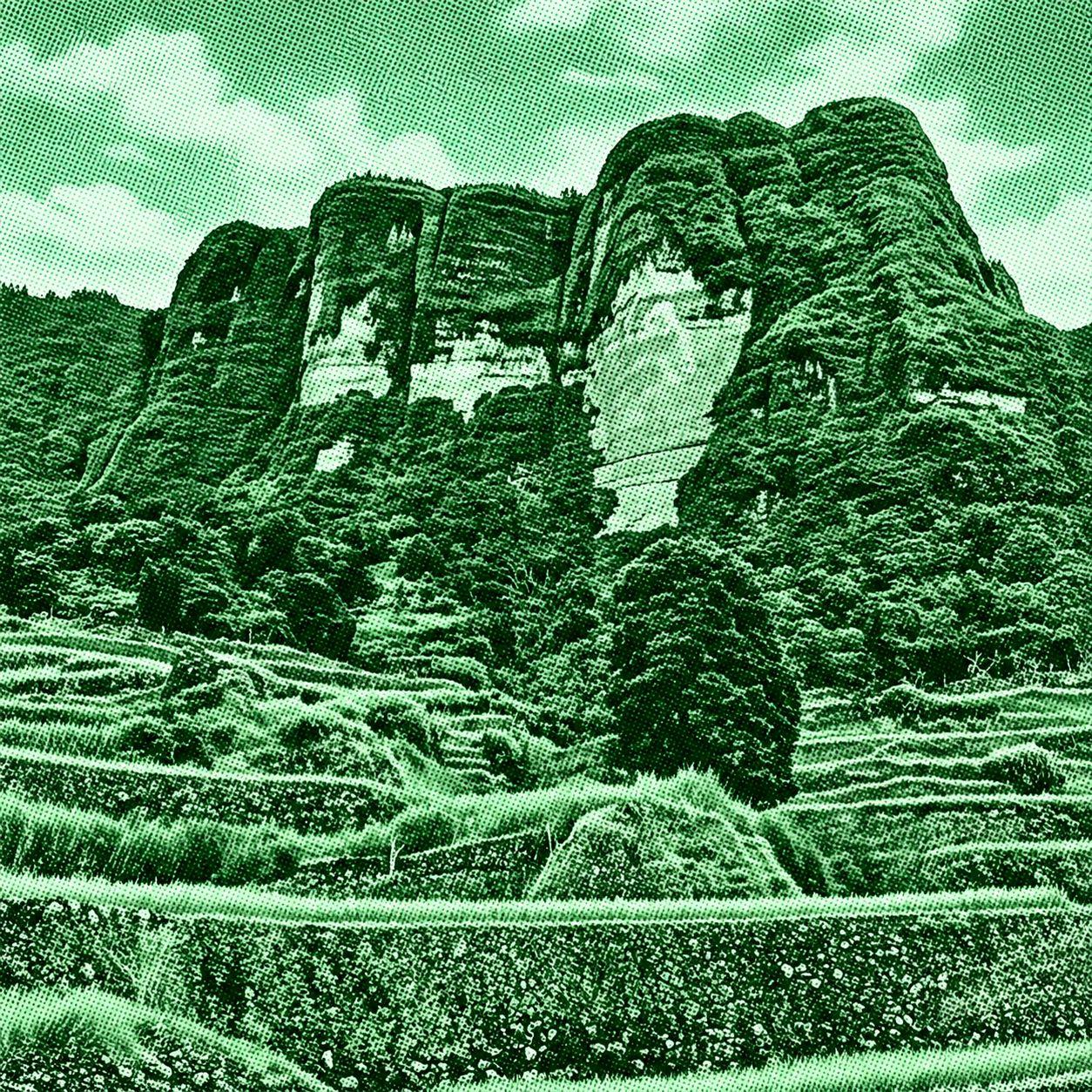
Kibungan Circuit is a challenging multi-day mountain route featuring pine-covered ridges, mossy forests, rice terraces, and sweeping Cordillera views. The classic circuit passes through Mount Tagpaya and can continue toward Mount Oten and Mount Tagpew, depending on the route variation. The trail begins in Kibungan and showcases the rugged landscapes and highland communities of Benguet.

 Open in Google Maps