Tuba, Benguet
Mount Santo Tomas via Camp 3 is a challenging route to Mount Santo Tomas in Tuba, Benguet. The trail covers roughly 11.5 miles and features steep mountain terrain, forested sections, rocky areas, and panoramic views overlooking Baguio and the surrounding Cordillera landscape. The summit area is known for its distinctive limestone formations and telecommunications facilities. The route typically takes around 9–10 hours to complete.
 Download GPX
Find this route and more in the WayMe app.
Scan with your phone to download WayMe.


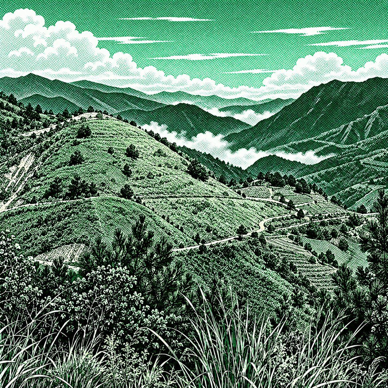
Macawiwilli Mine Trail is a moderate hiking route in Barangay Banget, Itogon, Benguet. The trail starts near the Ulap Eco-Trail exit and climbs through mountain terrain toward Mount Macawiwili. Hikers can enjoy forested sections, open mountain scenery, and views of the surrounding Benguet landscape. The route is approximately 3.1 miles long and takes around 2 hours to complete.

Mount Ulap Eco-Trail is a scenic ridge hike featuring rolling grasslands, pine forests, rocky viewpoints, and panoramic views of the Cordillera mountains. The trail traverses Ambanaw Paoay, Gungal Rock, and the 1,846-meter Mount Ulap summit, with the route extending from Barangay Ampucao to Sta. Fe. It is a popular day-hike destination near Baguio.

Mount Kotkot is a scenic mountain in Barangay Ampucao, Itogon, rising to about 1,612 meters. Its route features open grassland ridges, Benguet pine forests, and panoramic views of the Cordillera mountains. The popular traverse connects the MarMax Farm area to Sigsiglay, with Mount Bukaw often included in the route.

 Open in Google Maps