Kibungan, Benguet
Mount Binmaca is a mountain peak near the Ilocos Sur–Benguet border, associated with the Kibungan area. It rises to roughly 1,570–1,790 meters depending on the mapping source. The Mount Binmaca trail is a challenging route featuring rugged mountain terrain, forested sections, and scenic Cordillera landscapes. It is also listed among hiking routes in Benguet.
 Download GPX
Find this route and more in the WayMe app.
Scan with your phone to download WayMe.



Mount Bakoko is a moderate mountain route in Kibungan, Benguet, reaching roughly 1,830 meters. The trail features rugged highland terrain, forested sections, and scenic views of the surrounding Cordillera mountains. Mount Bakoko lies southeast of Kibungan and is part of the mountainous landscape surrounding the Kibungan–Atok area.

Illi Watershed Trail is a challenging 3-mile hiking route near San Fernando, La Union. The trail takes about 2–2.5 hours and passes through watershed terrain with natural vegetation and elevated sections. It provides a quiet hiking experience near the city while showcasing the surrounding upland landscape.
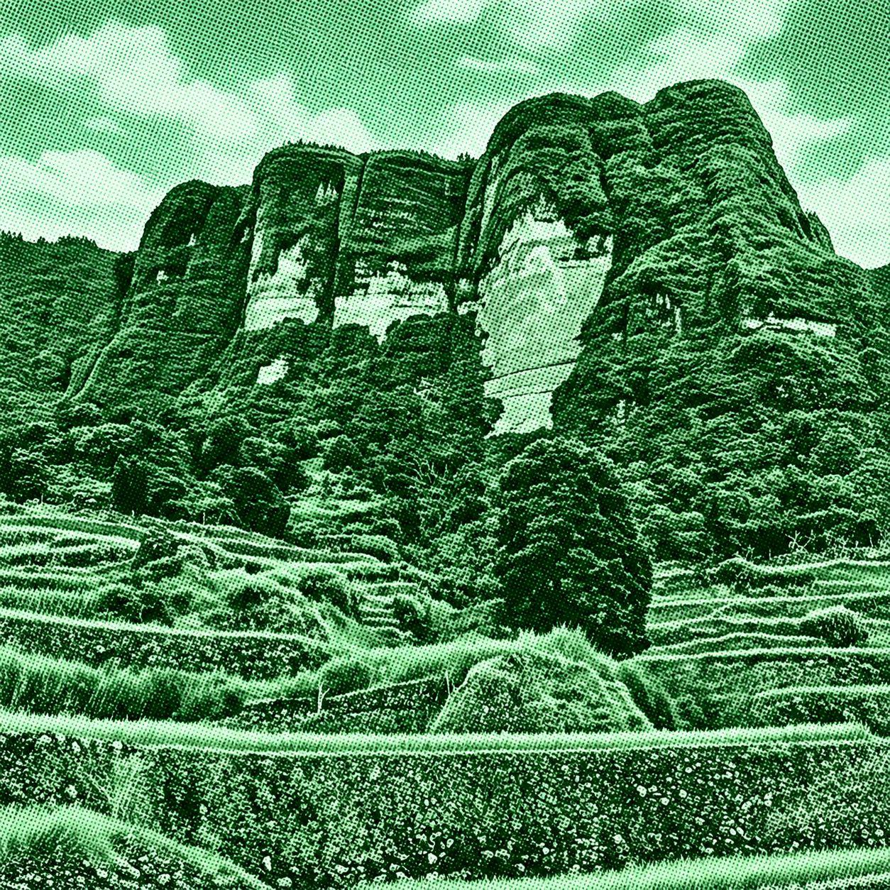
Kibungan Circuit is a challenging multi-day mountain route featuring pine-covered ridges, mossy forests, rice terraces, and sweeping Cordillera views. The classic circuit passes through Mount Tagpaya and can continue toward Mount Oten and Mount Tagpew, depending on the route variation. The trail begins in Kibungan and showcases the rugged landscapes and highland communities of Benguet.

 Open in Google Maps