Bouches-du-Rhône
Starting from Bimont Dam, this challenging 10 km hike follows the blue-marked Imoucha Trail to the Croix de Provence. The route crosses the rugged landscapes of Sainte-Victoire mountain and passes near Bimont Lake, the Sainte-Victoire Priory and Brèche des Moines. With around 697 m of elevation gain, allow approximately 4.5–5 hours for the out-and-back journey. Hikers can also extend the route to visit the Grotte des Hirondelles.
 Download GPX
Find this route and more in the WayMe app.
Scan with your phone to download WayMe.


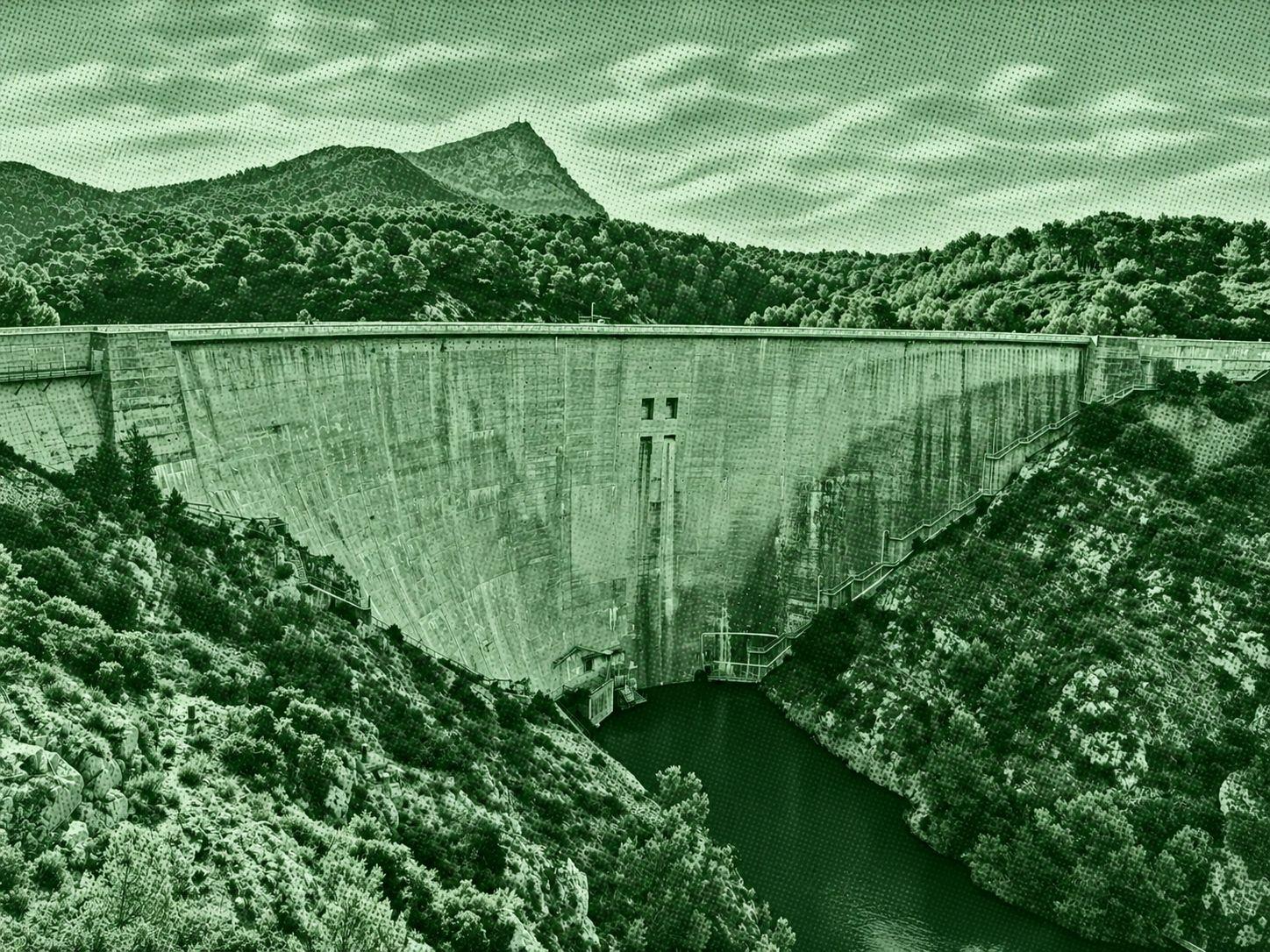
This 9.3 km loop at the foot of Sainte-Victoire mountain starts near Saint-Antonin-sur-Bayon and follows forested trails towards Bimont Dam. The return passes the dam and Lake Zola, whose dam was designed by François Zola, father of the writer Émile Zola. With around 261 m of elevation gain, this moderately challenging hike usually takes 2.5–3 hours to complete. The route offers beautiful Provençal scenery in the countryside near Aix-en-Provence.
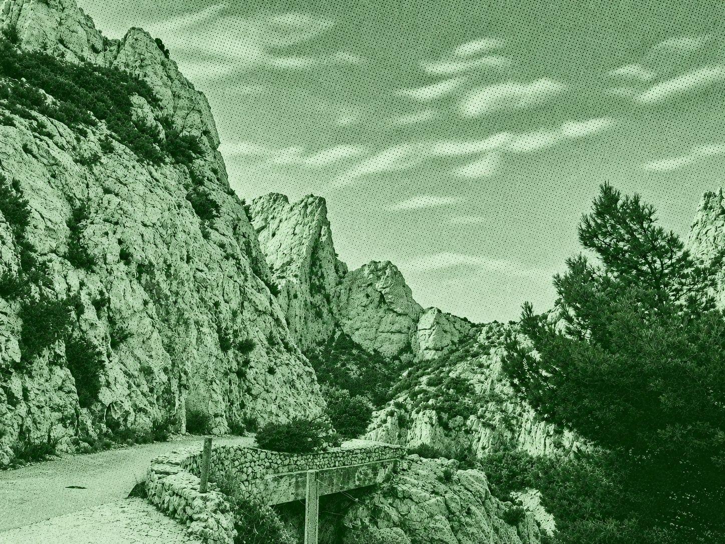
Starting from the Luminy campus, this popular hike leads to Calanque de Sugiton via Col de Sugiton, with an optional detour to a viewpoint overlooking Morgiou. The descent reveals Sugiton’s coves and the distinctive Torpilleur islet, surrounded by Aleppo pines and Mediterranean scrubland. The steep and sometimes slippery terrain requires sturdy hiking shoes and plenty of water. During summer, access to the calanque requires a free mandatory reservation to help protect this fragile natural environment.

This easy 6.3 km hike leads to the Sugiton Lookout in Calanques National Park. The route crosses a distinctive limestone landscape and follows the cliffs before reaching the viewpoint at around 227 m above sea level. From the lookout, enjoy beautiful panoramic views over Calanque de Morgiou, the surrounding cliffs and the Mediterranean Sea. With only 137 m of elevation gain and no major technical difficulties, this out-and-back trail generally takes around 1.5–2 hours to complete.

 Open in Google Maps