Arouca
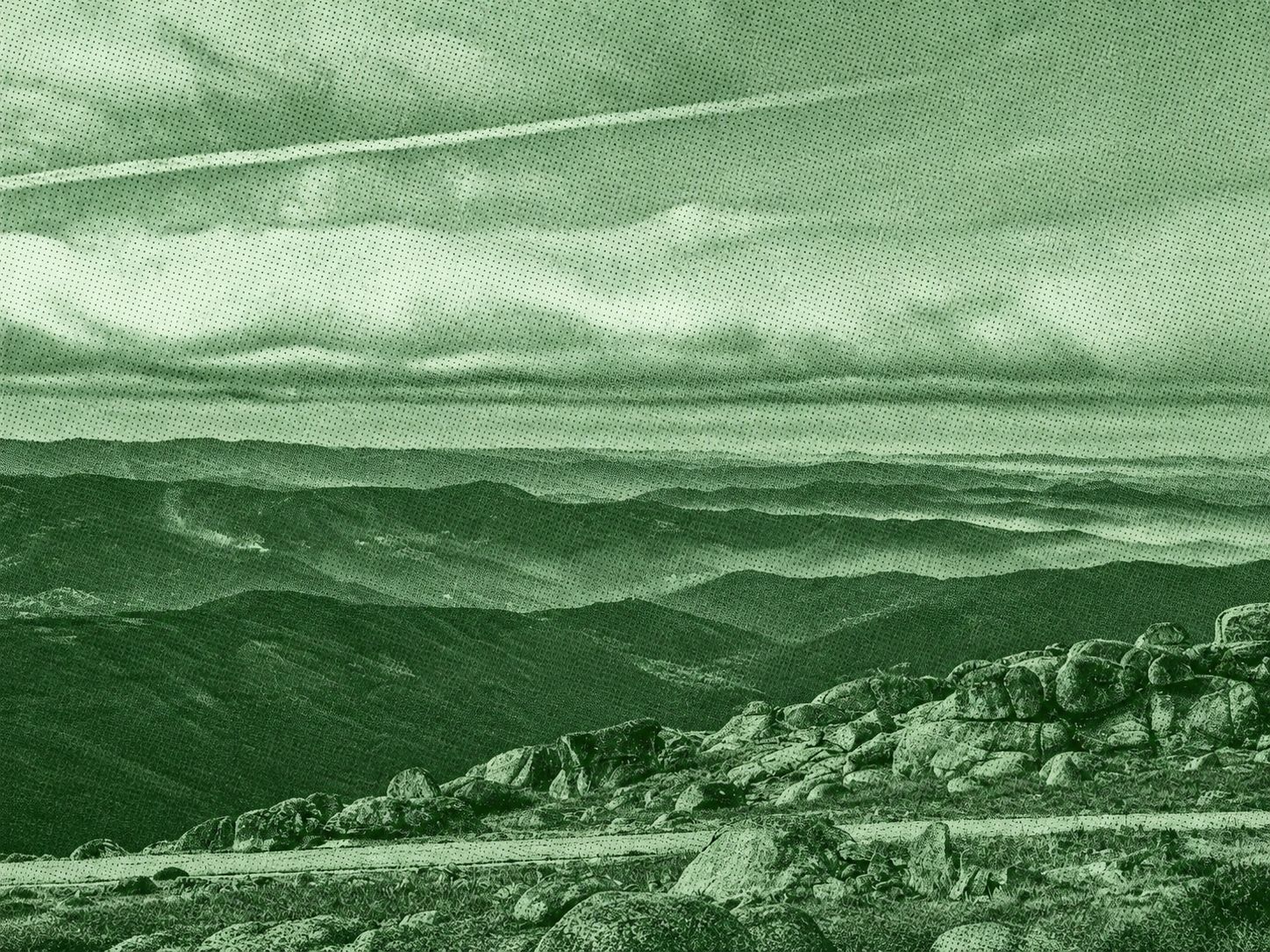
This mountain route crosses the rugged landscapes of Serra de Montemuro, combining open highlands, rocky ridges, traditional paths, forest sections, and panoramic viewpoints. From Senhora do Monte, the trail climbs toward Pedra Posta, then continues through the villages of Noninha and Bustelo. Along the way, expansive views stretch across the surrounding mountain ranges and valleys, while wind farms and granite formations add distinctive features to the landscape.
Find this route and more in the WayMe app.
Scan with your phone to download WayMe.


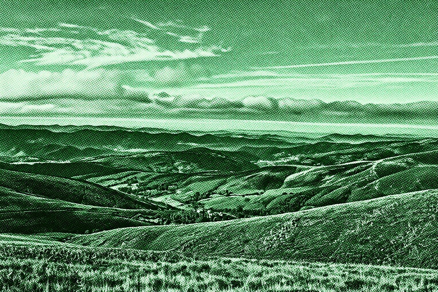
This scenic mountain hike follows forest paths and the clear waters of the Homem River through the Mata da Albergaria in Peneda-Gerês National Park. Along the way, hikers cross picturesque bridges, encounter small cascades, and spot remnants of the ancient Geira Roman road, including historic milestones. The surrounding woodland and mountain scenery make this a rewarding route for nature lovers and history enthusiasts. One popular variant is moderately challenging, while others feature steeper sections.
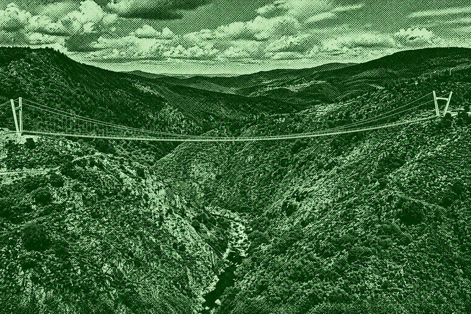
Visit the striking 516 Arouca suspension bridge high above the Paiva River gorge. Access routes through the Passadiços do Paiva or from Alvarenga reveal dramatic rocky scenery, views of Aguieiras Waterfall and the surrounding Arouca Geopark. The bridge crossing is a memorable experience for visitors seeking panoramic views and a sense of adventure.
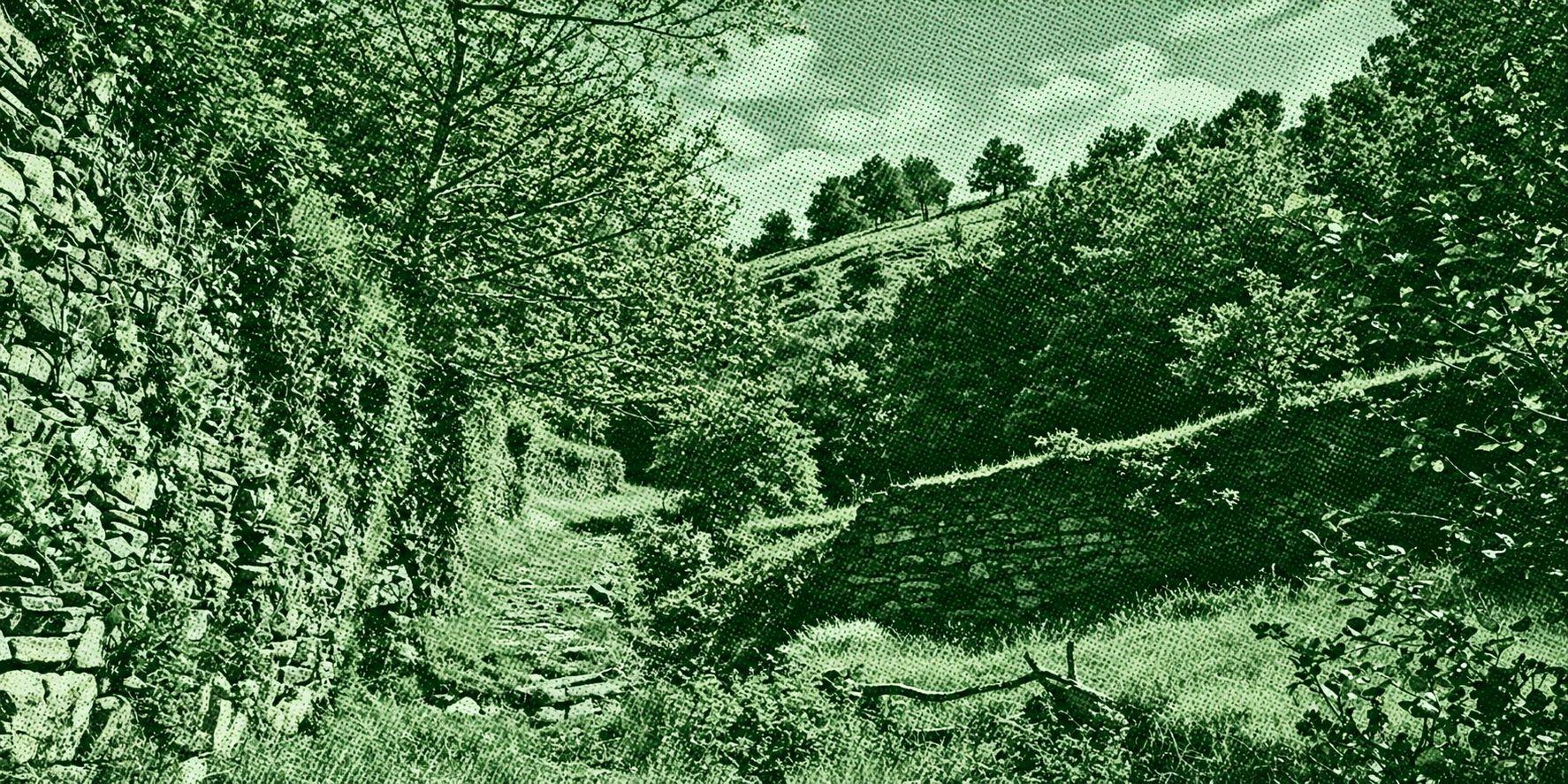
This historic trail follows a section of the Geira Romana (Via XVIII) through the mountains of Campo do Gerês. Ancient stone paving, Roman milestones, forest paths, granite terrain, and remnants of Roman engineering appear along the route, creating a walk where archaeology and mountain scenery are closely intertwined. The trail is moderately challenging and typically takes around one hour and forty-seven minutes. The Geira formed part of the Roman road linking Bracara Augusta (Braga) with Asturica Augusta (Astorga).

 Open in Google Maps