Vale de Cambra
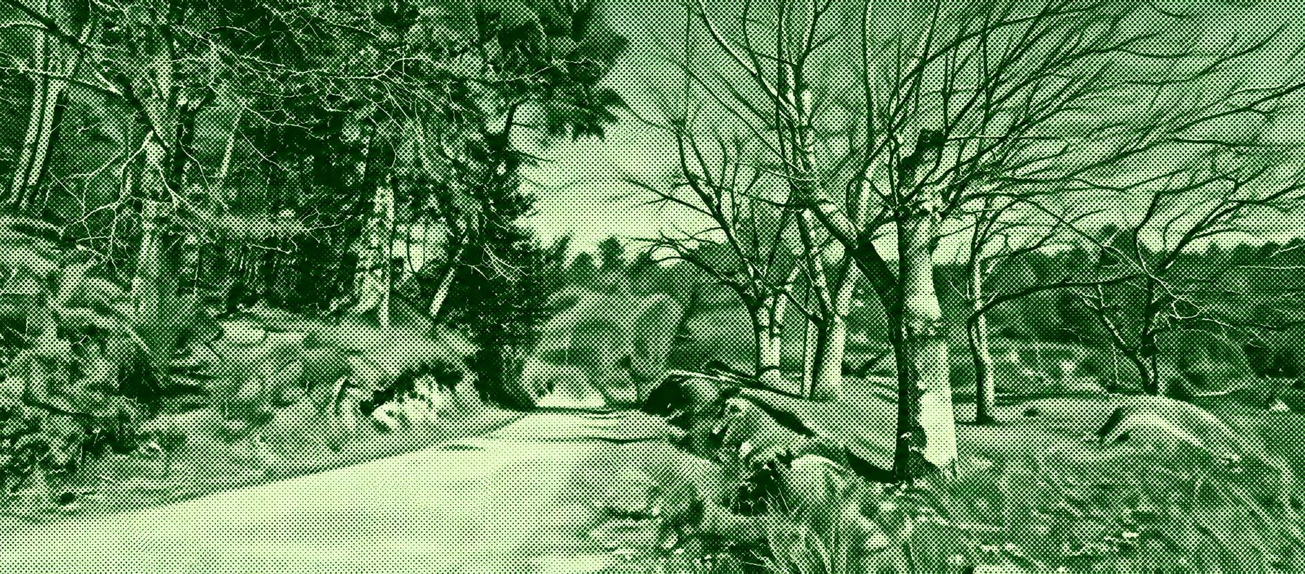
A varied mountain-and-village walk through the Serra do Arestal, combining forest tracks with traditional rural landscapes. The route passes small settlements, terraced gardens, stone houses, woodland, and open mountain terrain before reaching the Chapel of São Tiago at the Arestal ridge. Along the way, the landscape reveals the region’s strong rural character, while higher sections provide broad views toward the surrounding mountains and coast. The trail also passes areas associated with the Serra do Arestal’s megalithic heritage.
Find this route and more in the WayMe app.
Scan with your phone to download WayMe.


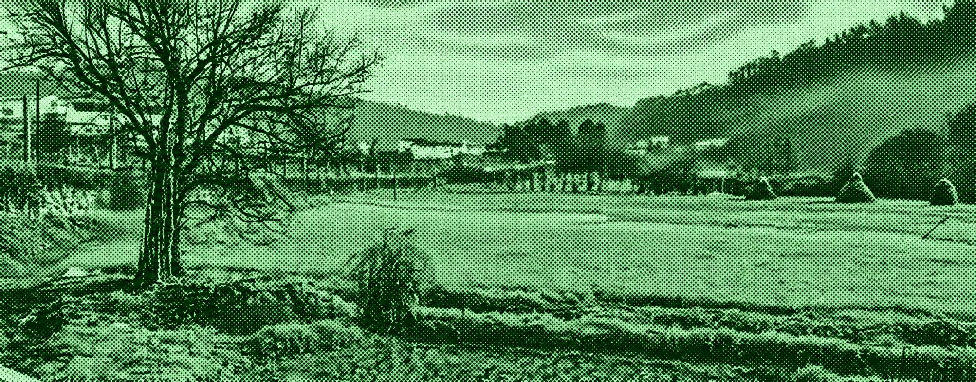
Water is the defining feature of this countryside walk. Beginning beside the Caima River, the trail climbs toward Malhô before settling into the narrow corridors of Burgães' historic irrigation network. Fern-covered banks, wooded stretches, cultivated fields, and stone-lined waterways accompany the walk, while the higher canal provides changing views across the valley. These channels once carried water for more than 20 km of agricultural land, giving the route an unusual combination of natural scenery and traditional water-management heritage.
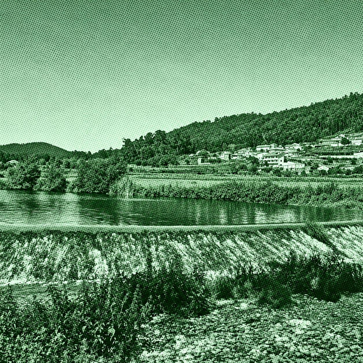
Step into Portugal’s Roman past on this walk through rural villages and historic agricultural paths in the Terras de Bouro countryside. The route follows traces of the ancient Geira Roman road, with stone milestones marking distances along the former imperial route. Highlights include archaeological remains around Bico da Geira, Penedo dos Teixugos, and Mutatio Saliniana, alongside granite-built villages and peaceful green landscapes. The official PR9 is moderately challenging and typically takes around four hours.
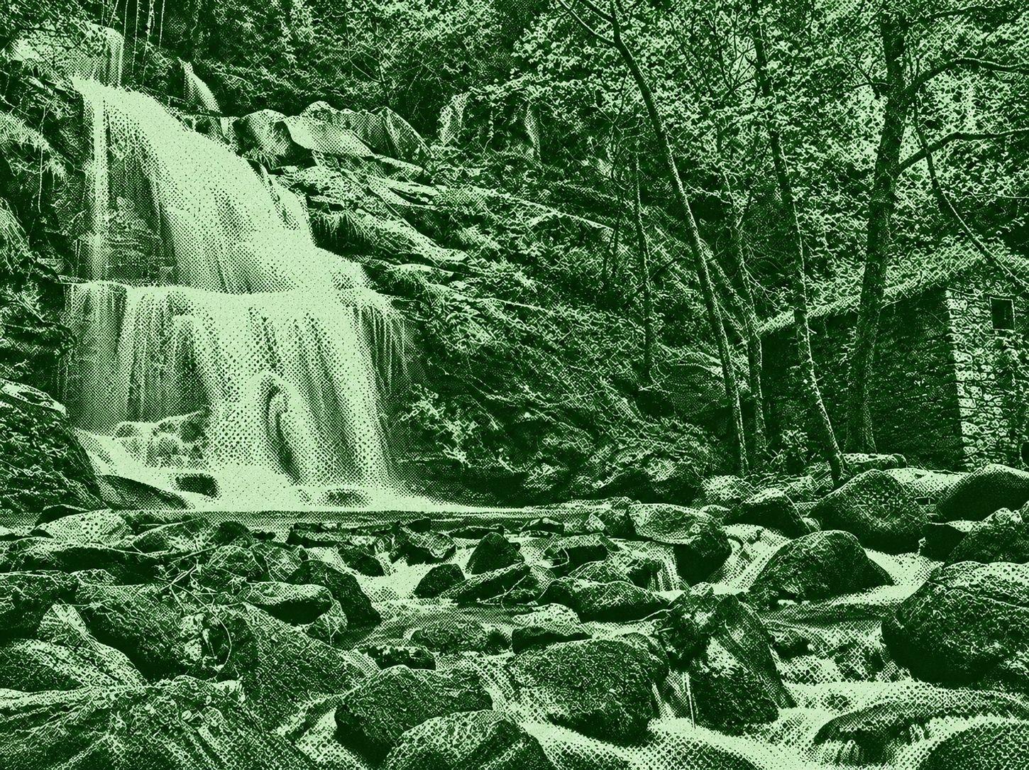
Explore the wooded river valleys around Cascata da Cabreia and the former Braçal mining complex. This varied walking area combines streams, waterfalls and shady forest tracks with the remains of historic lead mines at Malhada and Braçal. It offers an engaging mix of natural beauty and industrial heritage.

 Open in Google Maps