Santa Maria da Feira
The Souto Route is a long cycling route centered on Souto in the municipality of Santa Maria da Feira, weaving through the surrounding countryside and neighboring communities. The route uses a mixture of rural roads and quieter tracks, with rolling terrain and changing views across the agricultural landscape. Available trail listings describe the route as approximately 42.5 km and challenging, making it more of an extended cycling outing than a short walking trail.

Find this route and more in the WayMe app.
Scan with your phone to download WayMe.


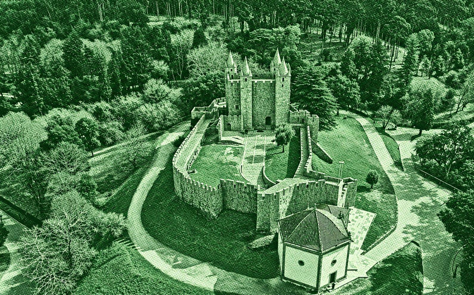
Following the Central Portuguese Way of St. James, this walking stage connects Barcelos with the historic town of Ponte de Lima. The route winds through small rural communities, vineyards, cultivated fields, woodland, and traditional stone-built settlements. Along the way, walkers cross the River Neiva near the historic Ponte das Tábuas and pass through Tamel, Balugães, and Vitorino dos Piães. The journey ends at Ponte de Lima, celebrated for its medieval bridge and riverside historic centre. This is a demanding full-day walk.

This long circular route creates a varied journey from the inland surroundings of Santa Maria da Feira to the Atlantic coast at Esmoriz and Espinho. The first sections pass through urban and peri-urban areas, with occasional wooded stretches, before the scenery gradually becomes more maritime. Around Esmoriz, lagoons, dunes, pine forests, and wooden boardwalks take over, while the final coastal section toward Espinho opens onto beaches and Atlantic views. The route combines inland countryside, wetlands, and coastal landscapes in one demanding walk.

This Portuguese Camino stage connects São João da Madeira with Grijó through a mix of towns, woodland and historic paths. It passes Arrifana, Fiães, Lourosa and Argoncilhe, with sections of old stone paving. The journey finishes near the impressive Monastery of São Salvador de Grijó.

 Open in Google Maps