ညောင်ရွှေ၊ ရှမ်းပြည်နယ်,Nyaungshwe, Shan
Discover Myin Ta Bway Mountain near Nyaungshwe in Shan State on a moderately challenging out-and-back hiking trail. The route features a substantial uphill climb, offering an enjoyable outdoor adventure for hikers seeking exercise and a peaceful mountain experience. This relatively quiet trail is ideal for those who prefer exploring away from crowded hiking areas. Wear sturdy hiking shoes, carry enough drinking water, and take your time navigating the uphill and downhill sections.

Find this route and more in the WayMe app.
Scan with your phone to download WayMe.


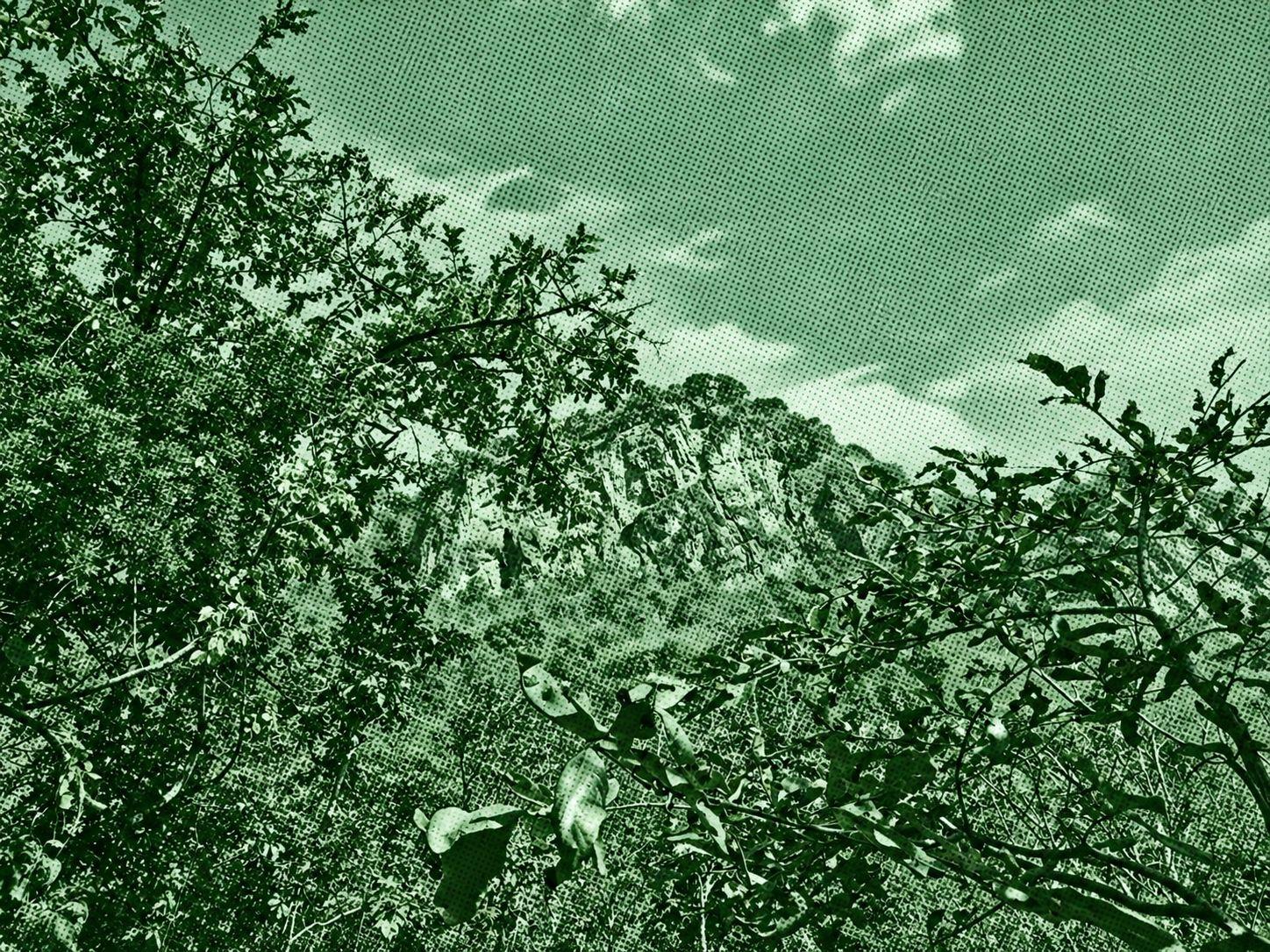
Take on a challenging one-way trek from Taunggya toward Konhla in the Shan State highlands. The recorded route climbs through changing elevations, with several downhill sections, and requires stamina for an extended day of hiking. Photo waypoints document parts of the journey, including one labelled “Trekking to Kalaw,” although the listing does not identify other specific landmarks. Wear sturdy hiking shoes, carry sufficient water and food, and use offline navigation. Arrange transportation from the finish and check current trail access, weather, and local safety conditions before setting out.
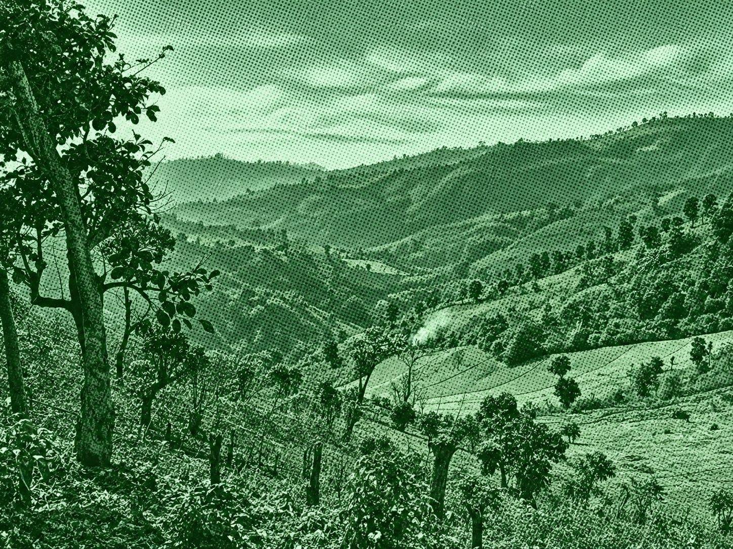
Follow a moderately challenging one-way trek from Myindwin toward Kaungdaing in Shan State. The route descends from the highlands toward the Inle Lake area, with several uphill sections along the way. Its substantial elevation loss requires careful footing, particularly on steep or slippery ground. The recorded track includes several photo waypoints but no named attractions. Enjoy the changing mountain surroundings as you approach the lower countryside. Wear sturdy hiking shoes, carry sufficient water and snacks, and download offline maps. Arrange onward transportation and check current trail access, weather, and local safety conditions before departure.
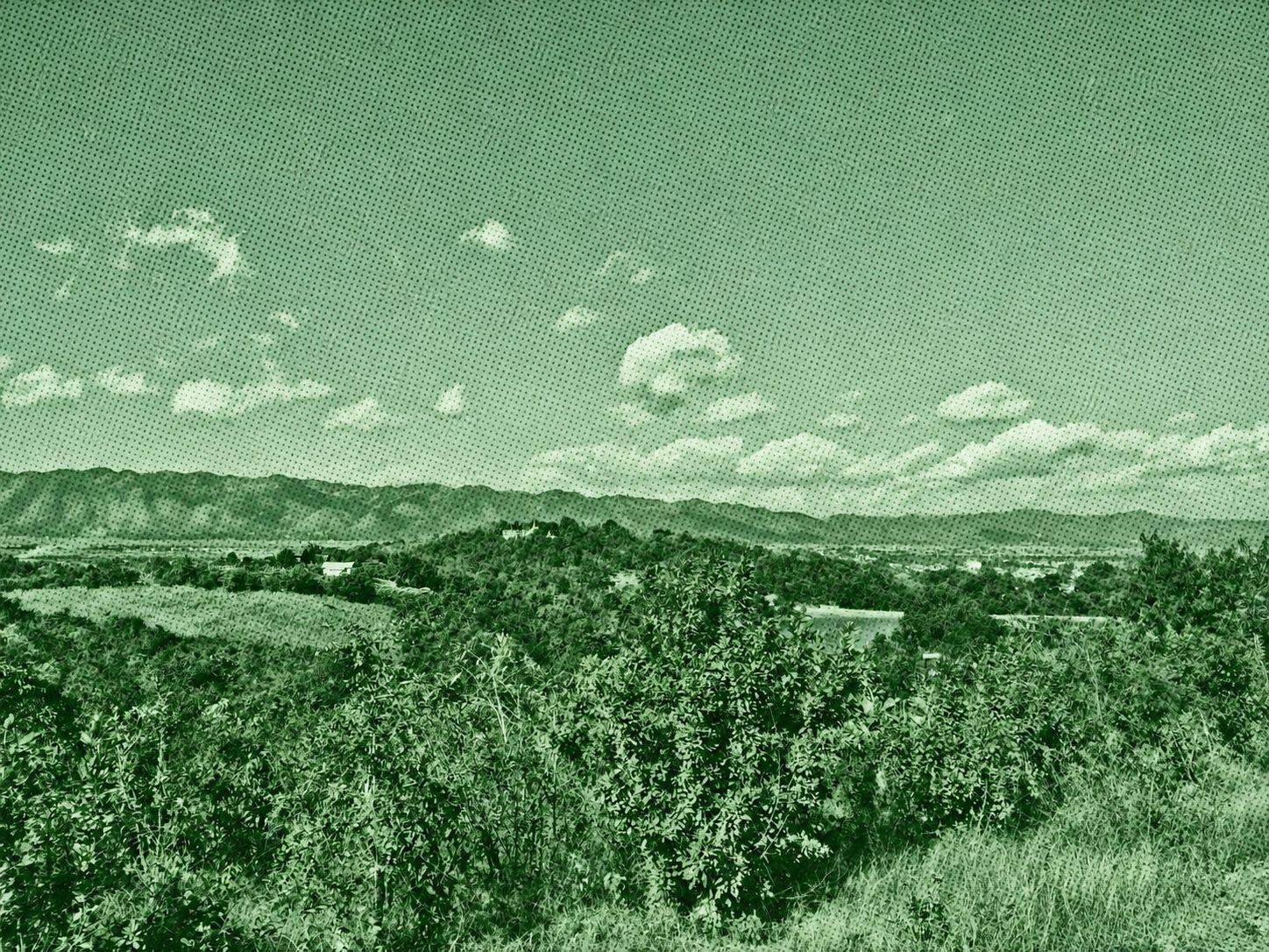
Explore the eastern highlands of Inle Lake on a challenging one-way trek from Nyaungshwe toward Maing Thauk. The route climbs through mountain terrain and passes small villages, offering rewarding views of the surrounding hills and a quieter side of the Inle region. With substantial ascent and descent, this hike is best suited to experienced walkers prepared for a demanding day. Carry plenty of water, download offline maps, and arrange transport from the finish. Check local trail access and safety conditions before setting out.

 Open in Google Maps