ညောင်ရွှေ၊ ရှမ်းပြည်နယ်,Nyaungshwe, Shan State
Take on a demanding loop through the highlands around Nyaungshwe and Loi Hkaw near Inle Lake. The route follows a mix of trekking paths and rocky tracks, with occasional dead ends and confusing junctions. It passes through two villages, offering a glimpse of local life and the hospitality experienced by previous hikers. Mobile coverage may be unavailable, so download offline maps, carry sufficient water and supplies, and consider hiring a local guide. Check current access and safety conditions before setting out.

Find this route and more in the WayMe app.
Scan with your phone to download WayMe.



Take on a demanding one-way trek through the highlands around Nyaungshwe and Inle Lake. The route features substantial climbs and descents, with significant elevation changes requiring endurance and careful navigation. The surrounding mountain landscape offers an adventurous setting for experienced hikers. Although named Inle Lake, the original listing does not identify specific lakeside stops or viewpoints. Wear sturdy hiking shoes, carry sufficient water and food, and download offline maps. Allow plenty of time for the journey, arrange transportation from the endpoint, and check current trail access, weather, and local safety conditions before departure.
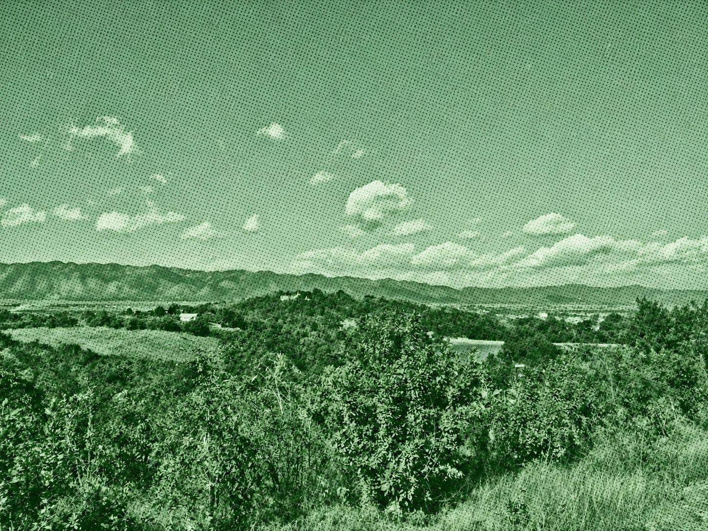
Explore the eastern highlands of Inle Lake on a challenging one-way trek from Nyaungshwe toward Maing Thauk. The route climbs through mountain terrain and passes small villages, offering rewarding views of the surrounding hills and a quieter side of the Inle region. With substantial ascent and descent, this hike is best suited to experienced walkers prepared for a demanding day. Carry plenty of water, download offline maps, and arrange transport from the finish. Check local trail access and safety conditions before setting out.

Enjoy an easy walking loop through the countryside near Sebyu and Nyaungshwe in Shan State. The route follows gently changing terrain, with modest climbs and descents before returning to its starting area. Six photo waypoints appear in the original recording, but no specific landmarks or attractions are identified. Although rated easy, the walk requires time and preparation. Wear comfortable shoes, carry drinking water, and download offline maps. Respect local paths and farmland, and check current trail access, weather, and safety conditions before setting out.

 Open in Google Maps