ကလော၊ ရှမ်းပြည်နယ်,Kalaw, Shan State
Explore a scenic loop near Kalaw through beautiful valley viewpoints, forest trails, and peaceful countryside. The route offers lovely views of the surrounding hills before passing through dense jungle toward a reservoir. Continue along rural paths bordered by rice fields and farmland, enjoying the changing landscapes along the way. Rated moderately challenging, the trail combines gentle walking sections with uneven terrain and occasional climbs. Wear comfortable hiking shoes, carry sufficient water, and bring offline navigation for a rewarding outdoor adventure.

Find this route and more in the WayMe app.
Scan with your phone to download WayMe.



Take on a challenging one-way trek from Kalaw to Pindaya through the rural hills of Shan State. The route passes remote villages, farmland, and quiet countryside, offering an authentic alternative to busier trekking trails. Experienced hikers may complete the journey in two days, while a three-day plan allows a more relaxed pace. A local guide is strongly recommended for navigation, accommodation, and communication in remote areas. Expect hot conditions, with muddy and slippery paths after rain. Carry sufficient water and arrange overnight stays in advance.
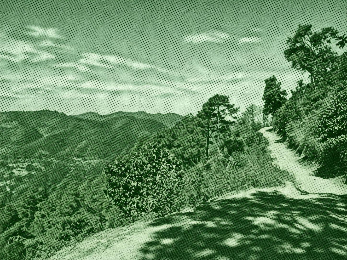
Explore the highlands around Kalaw on a moderately challenging hike named for Myin Ma Hti Cave. The recorded route features substantial climbs and descents, making it a demanding outing despite its moderate rating. Myin Ma Hti is a limestone cave known for Buddha images and natural rock formations, although the Wikiloc listing does not confirm entry into the cave. Wear sturdy shoes, carry sufficient water and food, and download offline maps. Allow ample time for the hike, respect religious sites, and verify trail access, weather, and local safety conditions before departure.

Explore the countryside around Kalaw on a moderately challenging trek through rice paddies, tea plantations, and forest. The recorded route features varied highland terrain, uphill and downhill sections, and some technical stretches that require careful footing. The changing scenery offers a glimpse of the region's agricultural landscape alongside its wooded surroundings. Wear sturdy hiking shoes, carry enough water and snacks, and download offline maps. Although the original title describes a circular route, Wikiloc lists the track as one-way, so confirm your endpoint and arrange return transportation before departure.

 Open in Google Maps