
Routes in Thailand
100 routes

Wat Pha Lat Hike (Monk's Trail) - Doi Suthep
Wat Pha Lat, also known as the Monk’s Trail, is a popular hike in Doi Suthep–Pui National Park near Chiang Mai. The first section is mostly shaded and leads to peaceful Wat Pha Lat, a scenic place to rest before continuing toward Doi Suthep. The upper section becomes steeper and more challenging. Proper hiking footwear and sufficient water are recommended, and an early start helps avoid the midday heat. The trail is best avoided during the rainy season, when conditions may become slippery or overgrown.

Mon Jing Loop
Mon Jing Loop begins near Mae Pha Haen Reservoir and climbs through beautiful forest toward Doi Mon Jing. Several sections are steep and challenging, making the route suitable for experienced hikers. Near the summit, visitors can pay respects at a Buddha statue and explore an area believed to be the crater of an ancient volcano. The trail combines forest scenery, mountain views, and interesting geological features. Proper hiking footwear and sufficient water are recommended.
Buddha's Footprint Trail
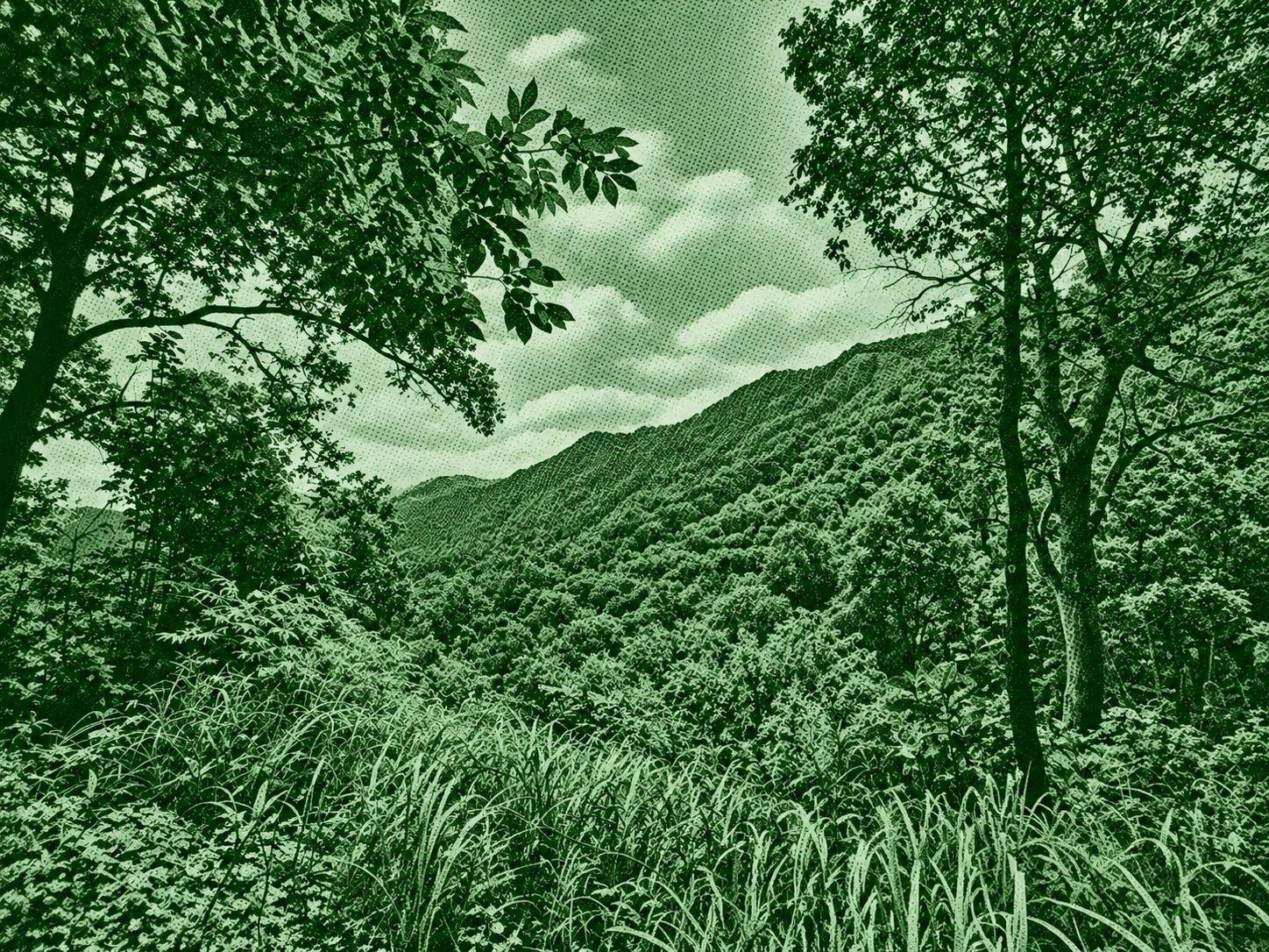
Buddha’s Footprint Trail begins at Ban Doi Pui village in Doi Suthep–Pui National Park and leads to the sacred Buddha Footprints. The route passes through rich forest with rare trees, wildflowers, and opportunities to encounter local wildlife. It is generally quieter than many other trails in the area, making it a good choice for hikers seeking a more peaceful experience. A local guide is recommended, and visits from March to May are best avoided due to seasonal haze.

Doi Suthep Loop
Doi Suthep Loop is a challenging hiking route that connects several notable areas around Doi Suthep, including Wat Phra That Doi Suthep, Ban Wang Bua Ban, and several waterfalls. The trail passes through rich forest with large trees and diverse vegetation, offering a varied natural experience. Some sections are steep and demanding, making it best suited to hikers with good fitness and experience. Carry sufficient water and suitable gear, and avoid March to May when seasonal haze can affect conditions.
Huay U-Mong Nature Trail
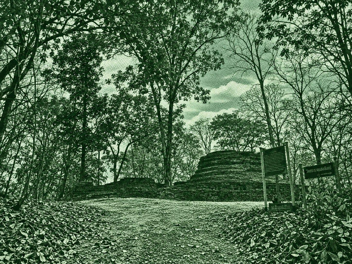
Huay U-Mong Nature Trail is located near Wat U-Mong and offers a peaceful short hike through a quiet natural setting. Some sections are rocky and uneven, but the surrounding forest is lush and scenic, creating a relaxing outdoor experience. The trail can be accessed conveniently from Wat U-Mong. Suitable footwear is recommended, and visits from March to May are best avoided due to seasonal haze in northern Thailand.
Dtaat Mook Waterfall Loop
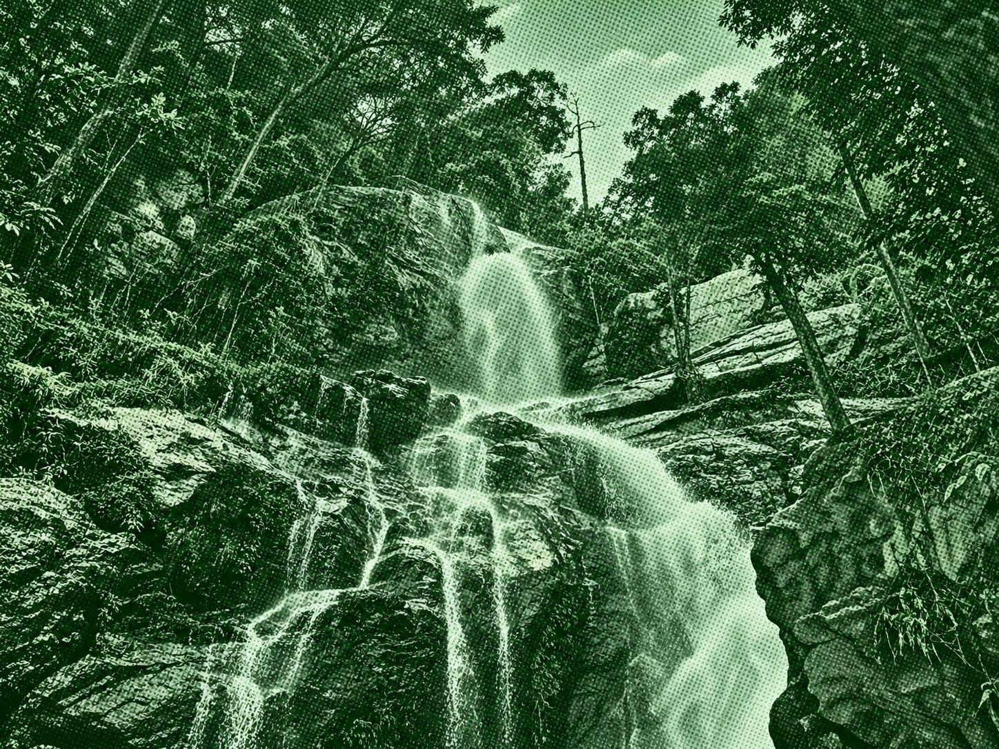
Dtaat Mook Waterfall Loop begins near Huai Tung Tao Reservoir and leads through shaded forest to Dtaat Mook Waterfall. Along the way, hikers can enjoy rich vegetation and a peaceful natural setting before returning to the starting point. Parking is available near the reservoir, making the trail easy to access. The route is best avoided from March to May, when seasonal haze can affect conditions in northern Thailand.

Doi Langka Noi Loop
Doi Langka Noi Loop follows mountain ridges with wide panoramic views across the surrounding ranges. Near the summit, hikers can visit a Buddha statue and pagoda, making it a peaceful place to enjoy sunset views. Overnight camping may be possible with prior permission from the national park, offering the chance to watch the sunrise the next morning. A local guide is required for this trail, so hikers should contact the park in advance. Avoid March to May due to seasonal haze.

Chiang Mai Old City Wall Route
Chiang Mai Old City Wall Route begins near Tha Phae Gate and follows the historic city walls and moat. Along the way, walkers can explore ancient structures, temples, and traditional architecture that reflect Chiang Mai’s long history. Small side streets offer a closer look at local food, homes, and everyday city life. The route is well suited to a relaxed urban walk, with plenty of places to stop and rest. Sun protection is recommended, especially around midday.
Porcupine Falls 3
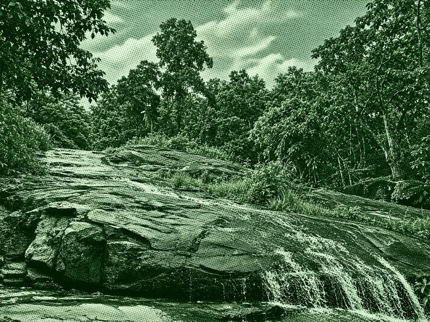
Porcupine Falls 3 leads hikers into the deeper forest of Doi Suthep–Pui, offering a more remote and challenging nature experience. Along the route, hikers can enjoy forest and mountain scenery as well as elevated views toward Chiang Mai. Some sections may be temporarily closed because of weather conditions or habitat restoration, so current access information should be checked before visiting. Local guiding services may also be useful for hikers unfamiliar with the area.
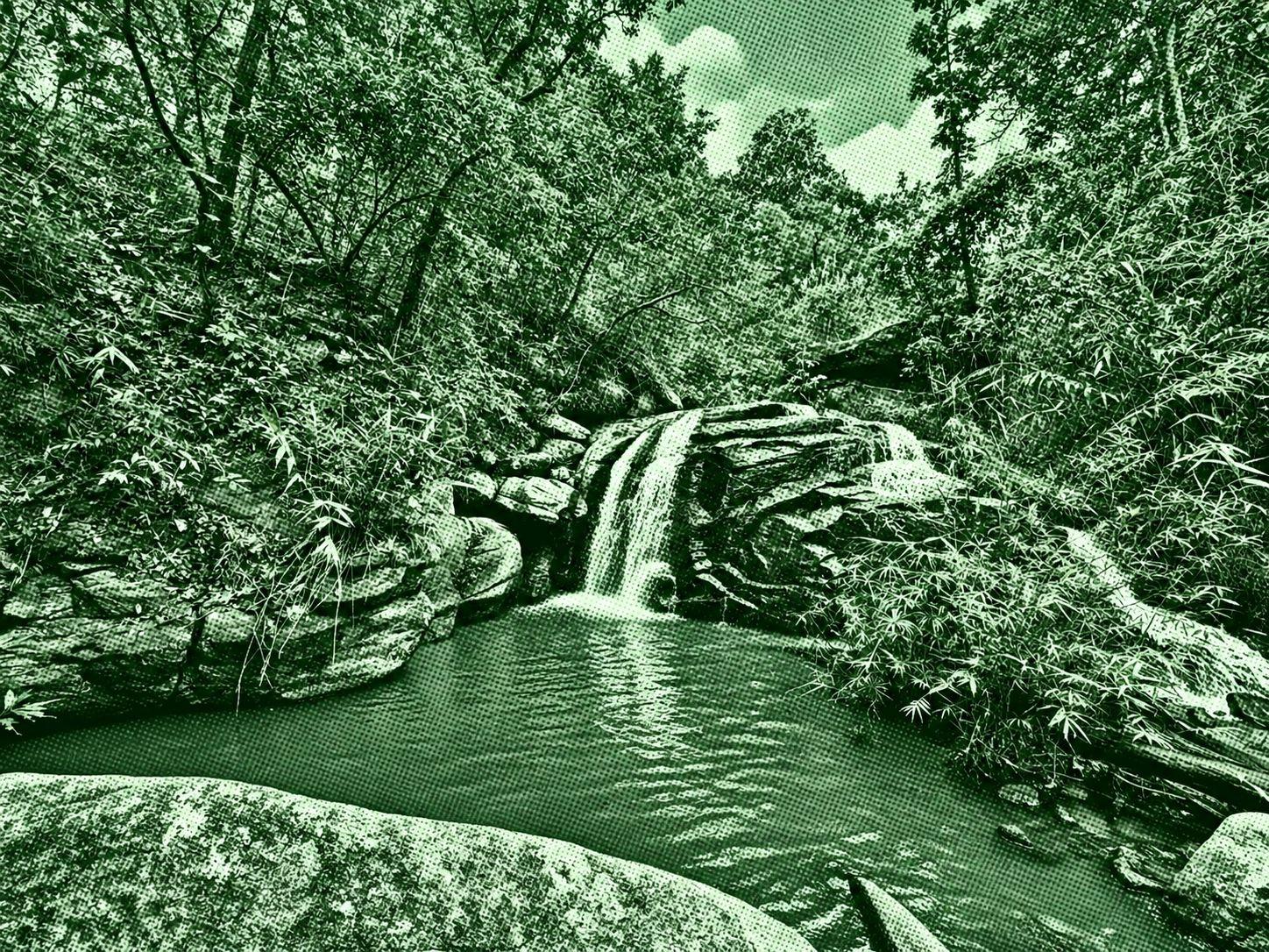
Crying Dog Waterfall
Crying Dog Waterfall Trail begins near Wat Suan Prik and passes through forest with a variety of trees and native vegetation before reaching the waterfall. The route is relatively short and suitable for a relaxed nature walk. Street parking can be limited because nearby roads are narrow, so parking near the temple may be more convenient. Visits from March to May are best avoided, as seasonal haze can affect conditions across northern Thailand.

Khao Hang Nak Hill Nature Trail
Khao Hang Nak Hill Nature Trail is one of Krabi’s most popular hiking routes, known for panoramic views of limestone mountains, tropical forest, and the Andaman Sea. Several sections are steep and rocky, with some light scrambling required near the summit. Hikers should carry enough water, wear suitable footwear, and begin descending before evening to avoid walking after dark. Overnight camping may require prior permission, and visitors should check current trail opening conditions with park staff before setting out.

Koh Phi Phi Island Viewpoint
Koh Phi Phi Island Viewpoint is one of the island’s most popular walking routes, combining paved sections with dirt trail. From the top, visitors can enjoy a wide 180-degree view across Koh Phi Phi, making it a popular spot for scenery and photography. Small shops along the way and near the viewpoint sell drinks and snacks. The route is best avoided during the monsoon season from July to October, when heavy rain can make conditions slippery or damage the trail.