沙頭角 Sha Tau Kok
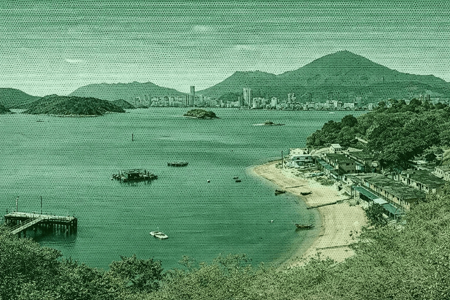
Located east of Sha Tau Kok, Ap Chau ("Duck Island") resembles a duck floating on water. This small island, made of rare red breccia in Hong Kong, features notable geological sites like wave-eroded Duck’s Eye and fault-formed Duck’s Neck. In the 1930s, it served as an anchorage for fishermen, evolving into a village with huts, church, and schools, peaking at 1,000 residents. Now mostly depopulated, its 2018-converted school became Ap Chau Story Room, preserving island history and culture.
 Download GPX
Find this route and more in the WayMe app.
Scan with your phone to download WayMe.


Forecast near the start point

Kat O, Hong Kong’s largest northeast New Territories island, features a winding shape and deep bays, forming a natural harbour—hence its name “Lucky Harbour”. With rich history and heritage as Mirs Bay’s former economic hub, it’s famed as the “Pearl of Mirs Bay”. The level Kat O Heritage Trail centres on Main Street, linking sites with two branches: north to Ko Tei Teng overlooking Shenzhen’s Yantian, south to Ko Pang Teng viewing poetic Double Haven. 27 panels offer QR-coded stories from villagers and geopark guides.
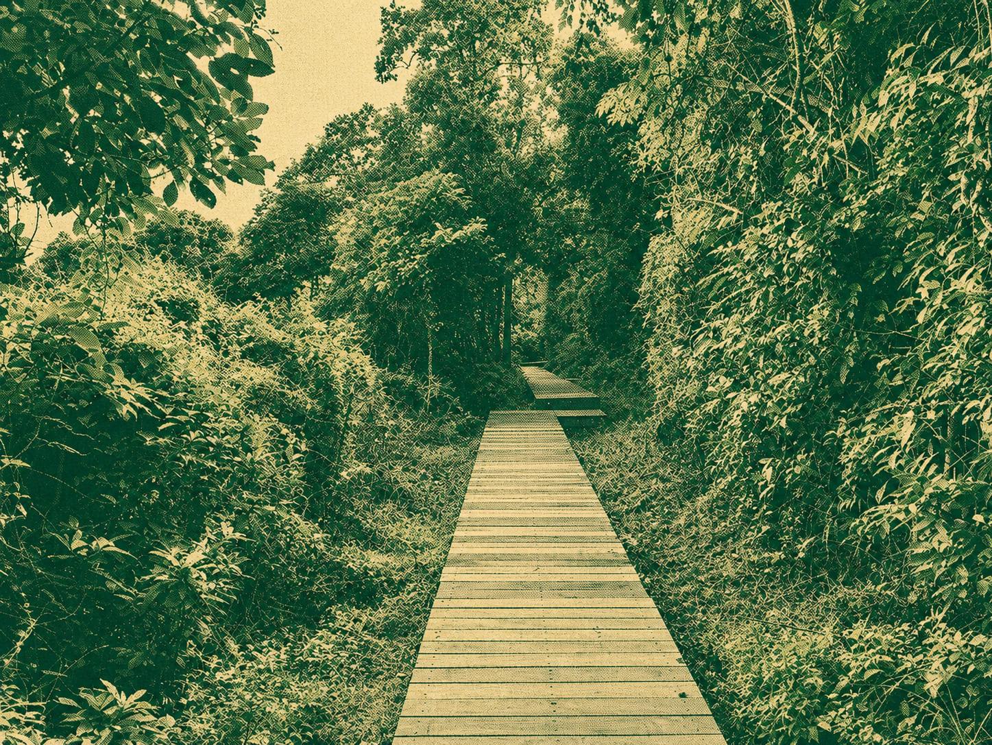
Lai Kuk Ancient Trail runs from Kuk Po (near Luk Keng) to Lai Chi Wo, about 7–8 km. Stone‑paved valley path passes Kai Choi School, old wells, Hakka village walls, temples and reed beds with coastal views—rich in heritage and quiet scenery.
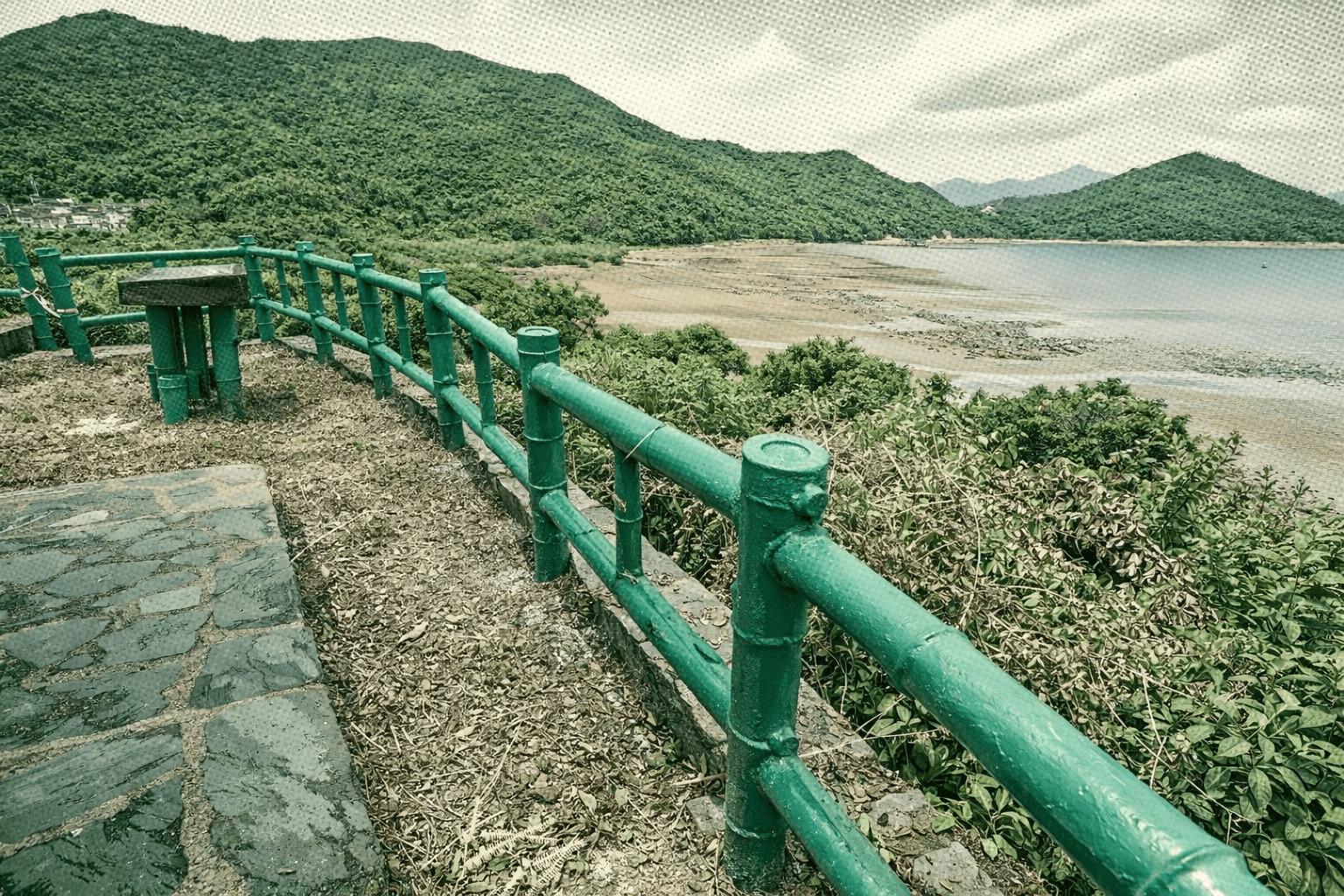
Lai Chi Wo Nature Trail in Double Haven winds through a historic Hakka village, once Northeast New Territories’ largest with 211 houses in traditional nine-horizontal-three-vertical layout. Fung Shui Woods host over 100 tree and butterfly species. Revived by eco-tourism, the trail showcases unique trees like Five-fingered Camphor, mangroves, mudskippers, and Hong Kong’s largest Dwarf Eel Grass seagrass bed.

 Open in Google Maps