馬鞍山 Ma On Shan
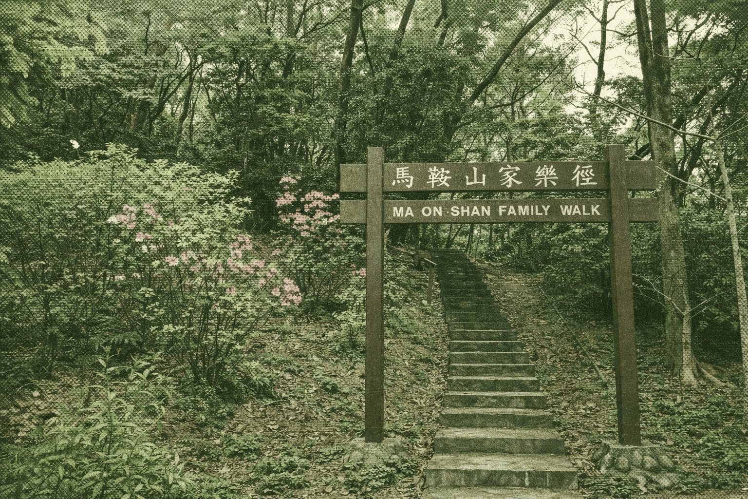
Perched on the slopes of Hong Kong’s fourth-highest peak, Ma On Shan (702m), the Family Walk begins and ends at a spacious barbecue area—perfect for weekend grilling, unwinding, and discovering the city’s scenic side. Its prime lookout delivers sweeping views of 1980s Ma On Shan New Town, Tolo Harbour, hillside Chinese University, Ma On Shan Country Park, and Sha Tin’s Shing Mun River. Trace old mine remnants in the woods and visit revitalised Grace Youth Camp (ex-Yan Kwong Lutheran Church and school, Grade III historic site) in Ma On Shan Village to relive a century of mining heritage.
 Download GPX
Find this route and more in the WayMe app.
Scan with your phone to download WayMe.


Forecast near the start point
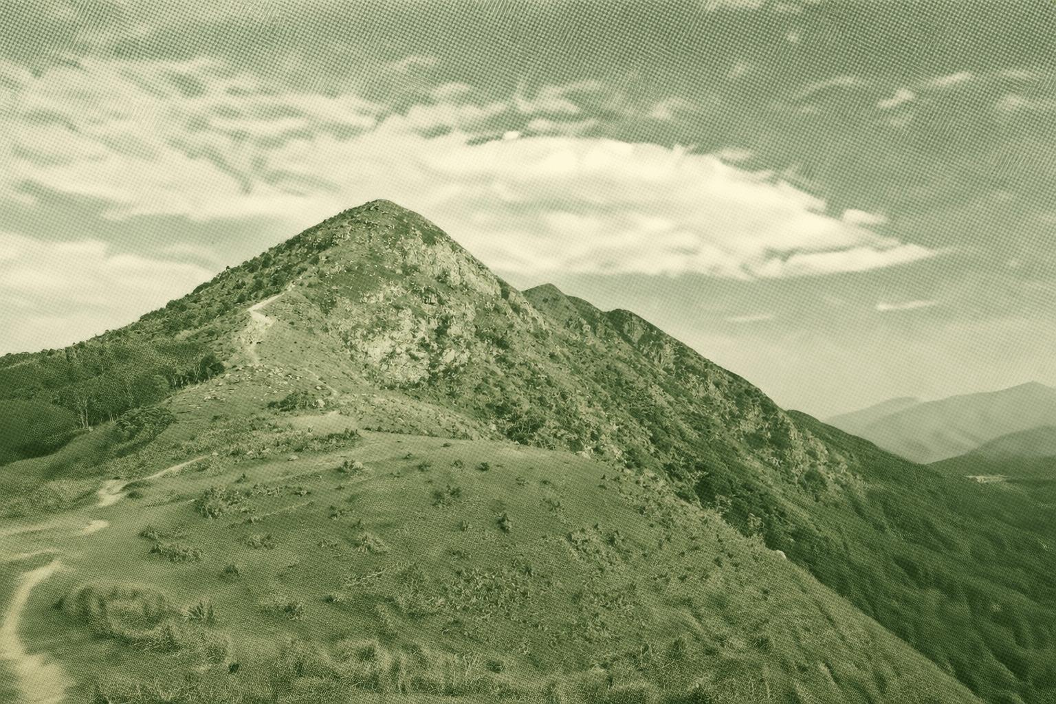
Ma On Shan’s granite hides magnetite and haematite; mining ran from 1906 to 1976, with ore still magnetic today. Miners’ village became Ma On Shan Village; its old school and church now Grace Youth Camp reveal a century of mining tales. Steep stone steps climb to Ngong Ping’s grassy plateau—rewarded by sweeping views of Sai Kung Town, Port Shelter islands, and distant High Island Reservoir. Sunrise draws campers; weekends see paragliders soar. Autumn gilds Pyramid Hill’s vast golden meadow, leading to ancient stone paths amid fire-resistant Taiwan Acacia groves that green barren slopes and halt wildfires.
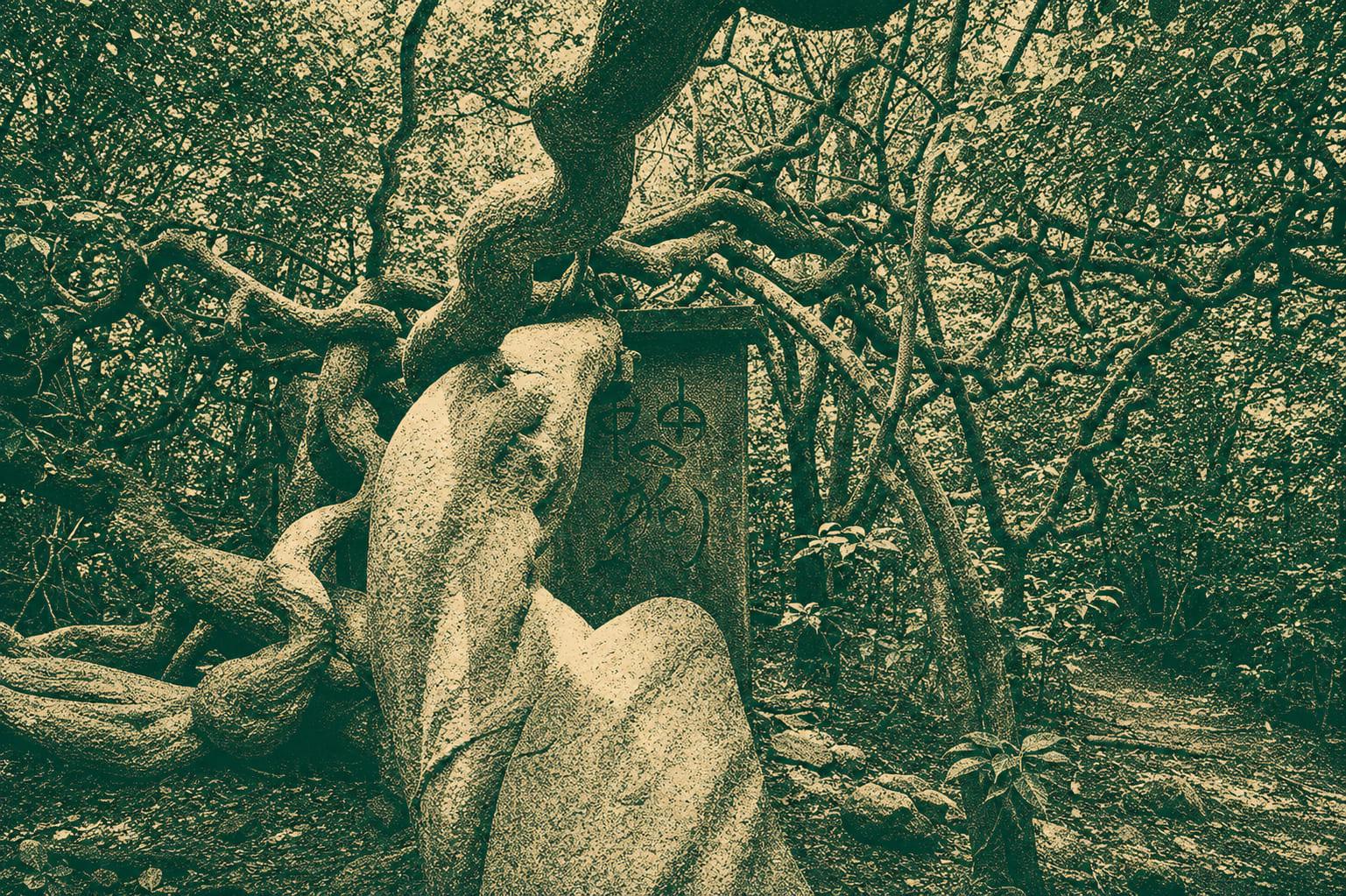
Mau Ping Ancient Trail is a 4 km route from Mui Tsz Lam to Mau Ping, continuing toward Pak Kong or Sai Kung. It features shaded woodland, old stone paths, streams, and quiet valley scenery. A short, pleasant heritage walk with gentle climbs.
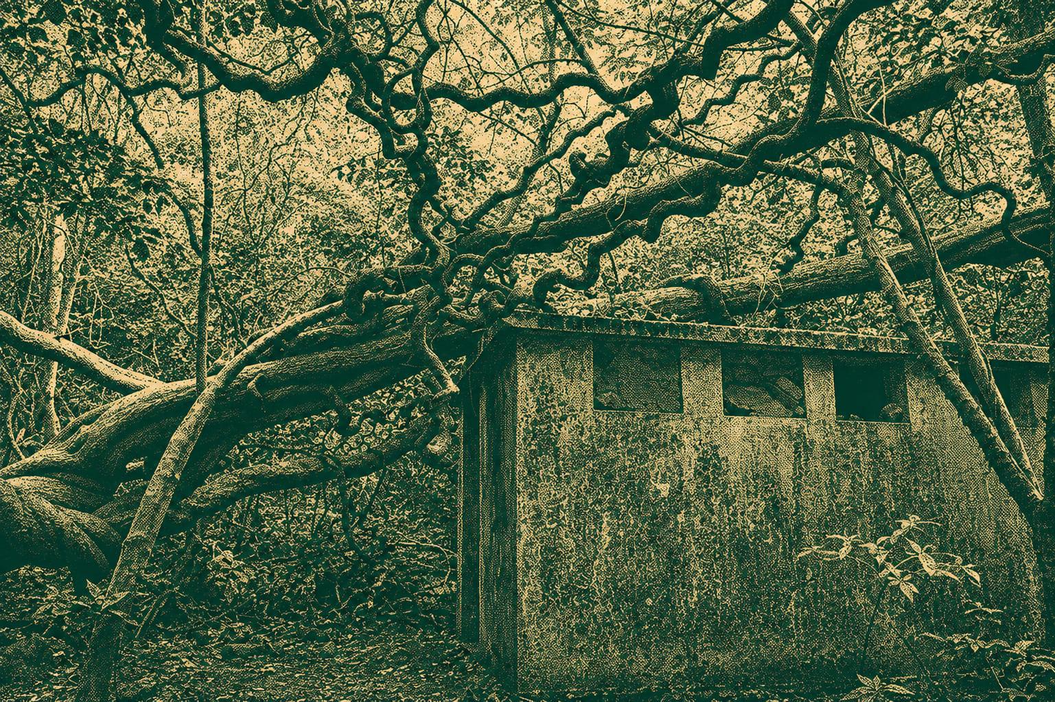
Pak Kong Ancient Trail runs between Pak Kong and Mau Ping, about 5–6 km. It passes bamboo tunnels, stone paths, streams and quiet valleys with village views. Easy–moderate; wear sturdy shoes and carry water.

 Open in Google Maps