蕉坑 Tsiu Hang
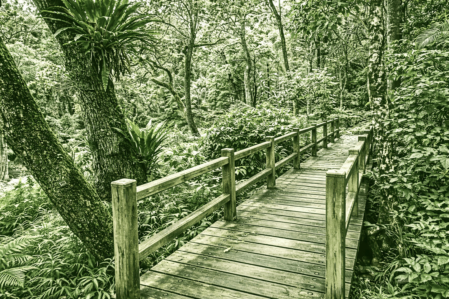
Nestled within AFCD’s Lions Nature Education Centre, the gentle Tsiu Hang Nature Trail invites easy exploration of mosses, fungi, and decaying logs lining the path. Summer brings vibrant host and nectar plants that lure butterfly larvae—and photographers alike. Standout trees include Sweet Gum, Kaki Persimmon, Pandanus, Chinese White Olive, and Wax Trees (once harvested for candles—avoid touching, as their sap can irritate skin).
 Download GPX
Find this route and more in the WayMe app.
Scan with your phone to download WayMe.


Forecast near the start point
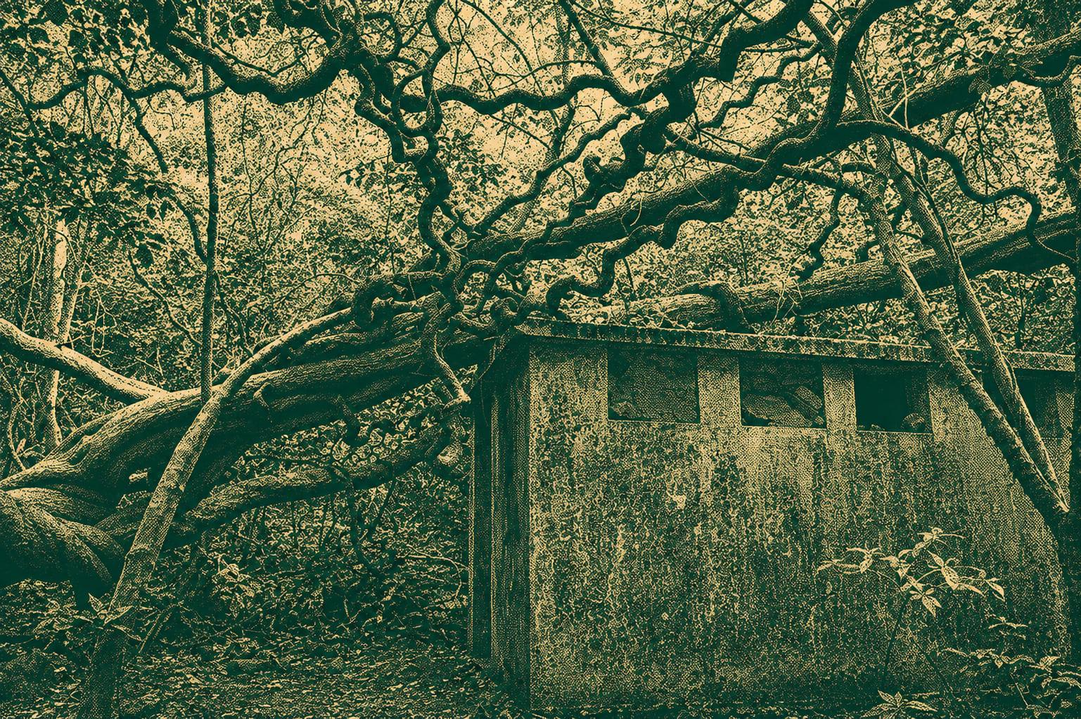
Pak Kong Ancient Trail runs between Pak Kong and Mau Ping, about 5–6 km. It passes bamboo tunnels, stone paths, streams and quiet valleys with village views. Easy–moderate; wear sturdy shoes and carry water.
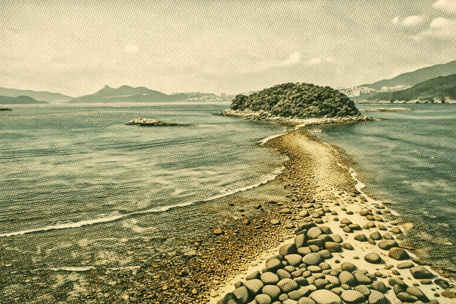
Sharp Island, nestled in Sai Kung’s Port Shelter, links to tiny Kiu Tau via a tombolo—crossable only at low tide (below 1.4m; check tides first). Perched on the edge of a 140-million-year-old volcanic crater, it showcases striking igneous rocks: breccia from pyroclastic flows, flow-banded rhyolite, and quartz monzonite intrusions. Weathered “pineapple buns”—cracked quartz monzonite spheres mimicking Hong Kong’s famous pastry—dot the shores. Kiu Tau offers sedimentary layers and sweeping Port Shelter views.
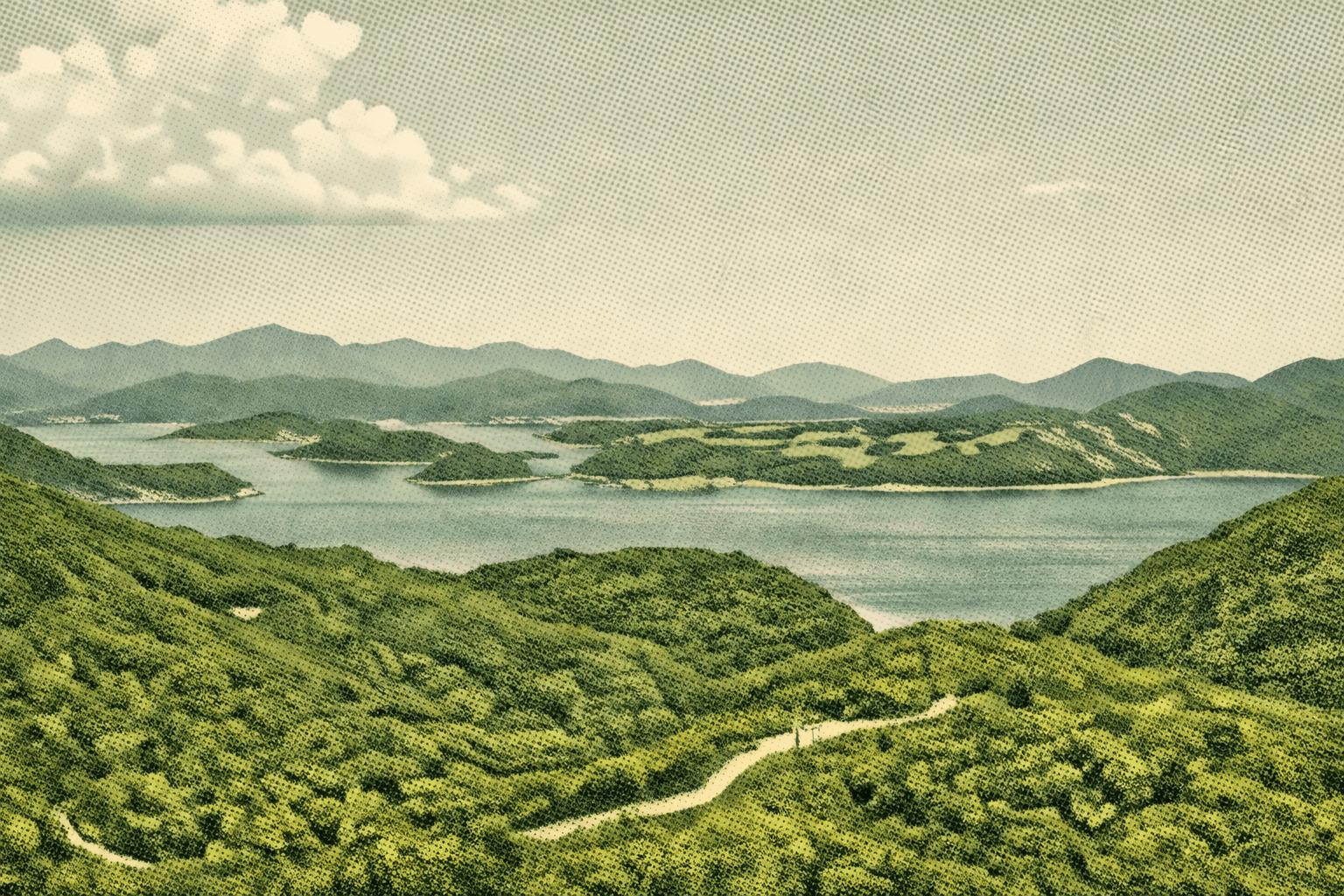
Begin at Kiu Tsui on Sharp Island’s west coast and ascend the Country Trail to Hak Shan Teng, then ease downhill to beautiful Hap Mun Bay beach. Savor breathtaking coastal panoramas: lush Kau Sai Chau grasslands and distant Hakka villages to the east; the iconic tombolo linking to Kiu Tao islet westward, with Clear Water Bay and High Junk Peak visible on clear days. Selfie spots await at prime viewpoints.

 Open in Google Maps