宜蘭縣南澳鄉 Nan-ao Township, Yilan County
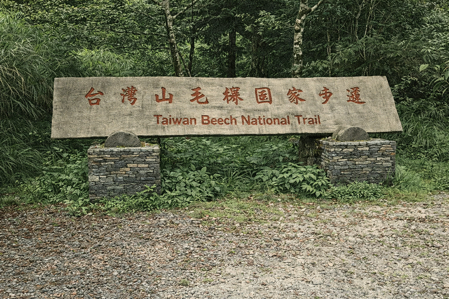
The Cueifong Trail starts at Cueifong Villa within Taipingshan National Forest Recreation Area, Yilan County. A round-trip journey lasts around 3 hours, revealing diverse wildlife, slate cliffs draped in moss, Taiwan red cypress groves, Japanese cedar stands, cherry blossoms, old milestones, worker cabins, rail switches, and remnants of historic logging railways. The finale unveils Taiwan’s largest pristine beech forest—900 hectares—bursting with fresh green in spring, verdant in summer, golden in autumn, and starkly bare in winter, offering seasonal splendor.
 Download GPX
Find this route and more in the WayMe app.
Scan with your phone to download WayMe.


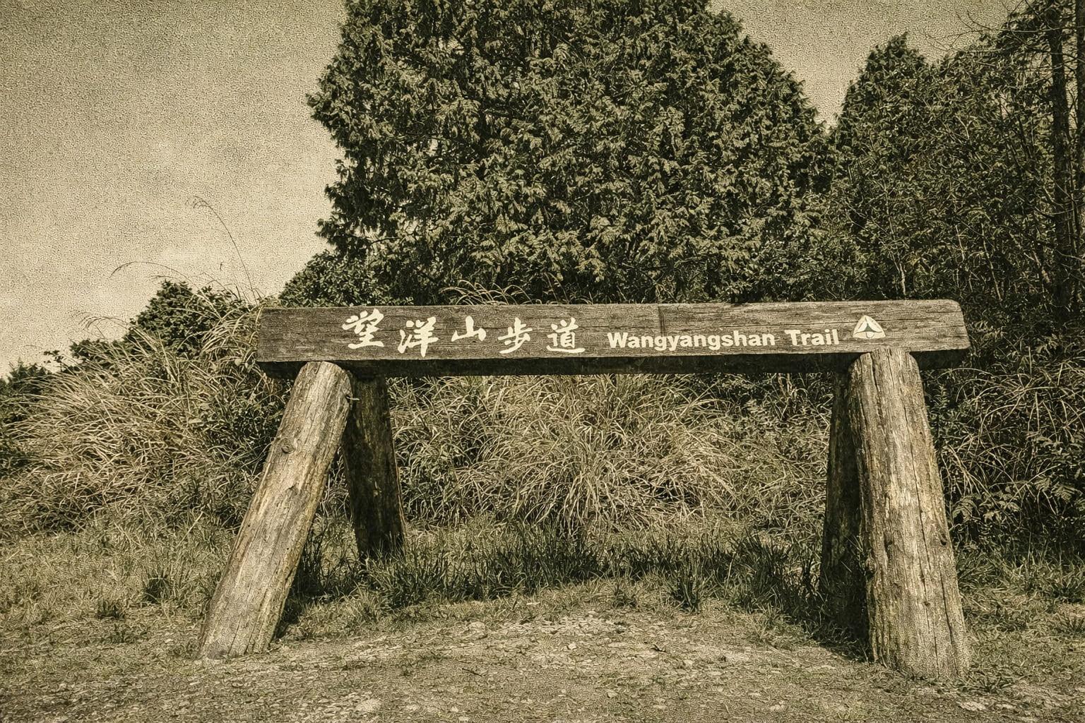
Tucked behind Cueifong Villa, the Wanyangshan Trail stretches just 1.2 km, with a relaxed round-trip journey of about 1.5 hours. On clear, sunlit days, the path rewards hikers with sweeping vistas: the broad Lanyang Plain unfolds far below, while the distant Pacific reveals the unmistakable silhouette of Guishan Island shimmering on the horizon.
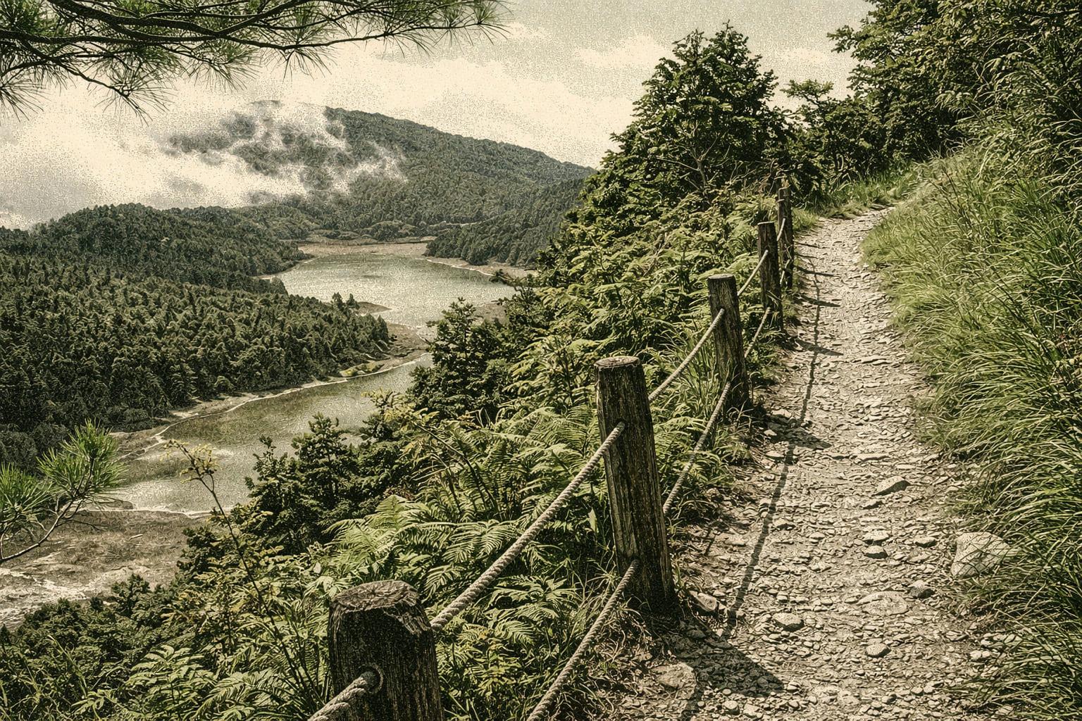
Encircling Taiwan’s largest high-altitude lake at 1,840 meters, the Cueifong Lake Trail follows the historic lumber-transport route. Wanderers can soak in vibrant spring greenery, drift through misty summer veils, admire crimson maples in autumn, and marvel at winter snowscapes. Spanning 25 hectares during rainy seasons, the lake’s ever-shifting vistas transform from dawn to dusk and across the four seasons.
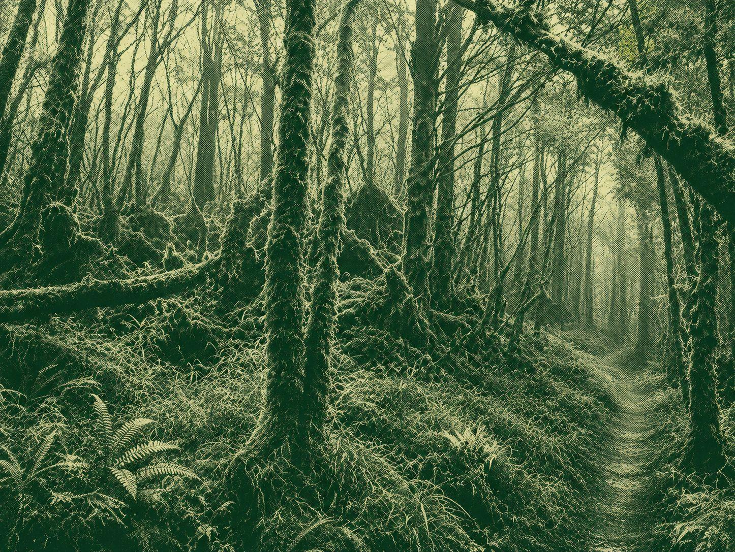
Samsung Mountain is the highest peak in the Taiping Mountain Forest Recreation Area. It is the third highest point in the north of the Central Mountains. It is the first peak of the main ridge above 2000 m. It is also the second peak of Mount Xiaobai in Taiwan, located between Duyuan Mountain and Taiping Mountain, and the source of the Guri River Tianxi (Tenguxi). From the ascent up the escarpment, walk into the gintian fir forest, with a pleasant view of the fallen forest. The mountain path is steep, the roots are wide, the spruce leaves are gentle, the birds chirping, and the walking is very comfortable. The middle section of the trail is dense mangrove area, and the back section is all arrow-bamboo thickets, requiring continuous weeding. The mountain area is covered with mists, wet and rainy, and dew can easily soak clothes. When you reach the top of the mountain, you can see all sorts of satellite control points, overgrown trees obscuring the view, there is no view, and the summit is narrow, leaving an abandoned observation deck.

 Open in Google Maps