盲塘,離島區 Mang Tong, Islands
This Mui Wo loop combines mountain climbs, countryside paths, ridgelines, and traditional village scenery. Beginning in Mui Wo, the route heads toward Nam Shan and climbs partway up Sunset Peak, offering impressive views across Lantau. It continues through Lin Fa Shan and Por Kai Shan, where quieter trails and forested slopes provide relief from crowded routes. The descent passes historic villages including Pak Mong and Ngau Kwu Long, adding cultural interest to the journey. With sustained distance, varied terrain, and several climbs, this rewarding route suits experienced hikers seeking a complete, memorable Lantau adventure blending scenery, exercise, and rural character.
 Download GPX
Find this route and more in the WayMe app.
Scan with your phone to download WayMe.


Forecast near the start point
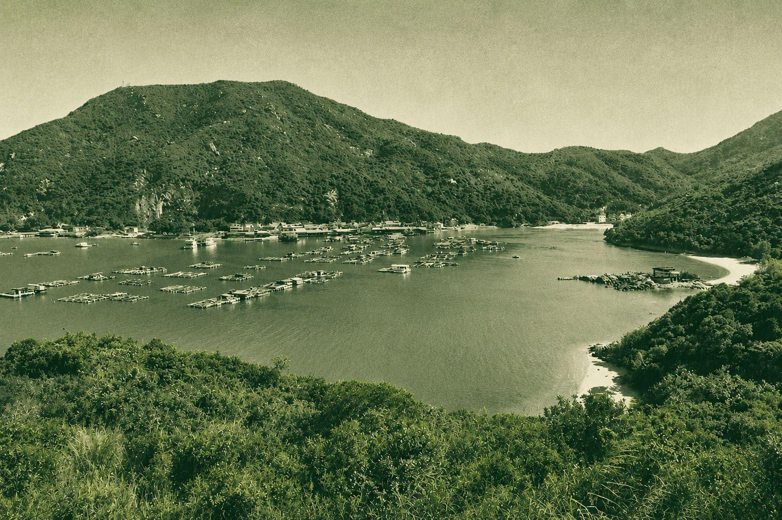
Mang Tong to Lo Uk Tsuen is a scenic Lantau Island trail passing through Shap Long Irrigation Reservoir, Lo Yan Shan, Miu Tsai Tun, and Tin Hau Temple. The route combines reservoir scenery, mountain paths, and cultural landmarks, offering a rewarding hike through Lantau’s rural landscapes. With moderate climbs and varied terrain, it is suitable for hikers looking for a longer countryside adventure with beautiful natural views.
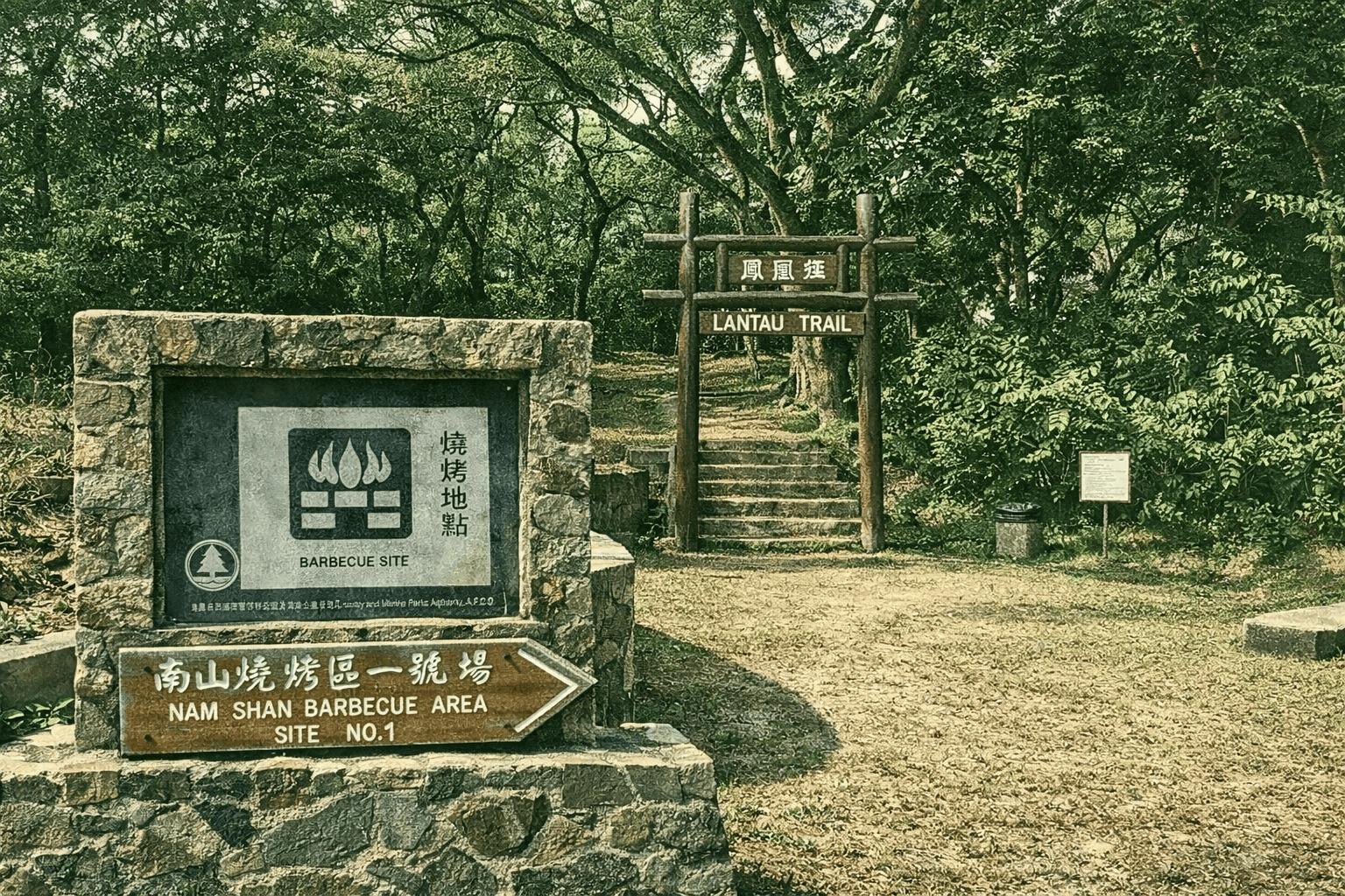
The Lantau Trail is the third long-distance hiking trail in Hong Kong. Officially opened in 1984, it spans 70 kilometers and is divided into twelve sections, traversing the South Lantau and North Lantau Country Parks. Named after Hong Kong's second-highest peak, Lantau Peak, the trail forms a loop around the southern part of Lantau Island, starting and ending in Mui Wo. It is equipped with 140 distance posts, spaced approximately 500 meters apart, to help hikers identify their location. The route connects numerous famous attractions on Lantau Island, including Sunset Peak, Lantau Peak, Ngong Ping, Tai O, Fan Lau, Shek Pik Reservoir, Tong Fuk, Cheung Sha, and Pui O. The difficulty of the twelve sections varies, with the shortest being about 2.5 kilometers and the longest reaching 10.5 kilometers, allowing hikers to choose sections that suit their physical ability. The third section, from Pak Kung Au to Ngong Ping, traverses the summit of Lantau Peak, offering expansive views and is a popular spot for watching sunrises and seas of clouds. The seventh section, from Tai O to Kau Ling Chung, features the coastal scenery of Fan Lau and magnificent bays. The Lantau Trail encompasses mountains, reservoirs, beaches, and fishing village landscapes, presenting a rich and varied natural environment. It is a popular route for both local hikers and international visitors to explore the countryside of Lantau Island.
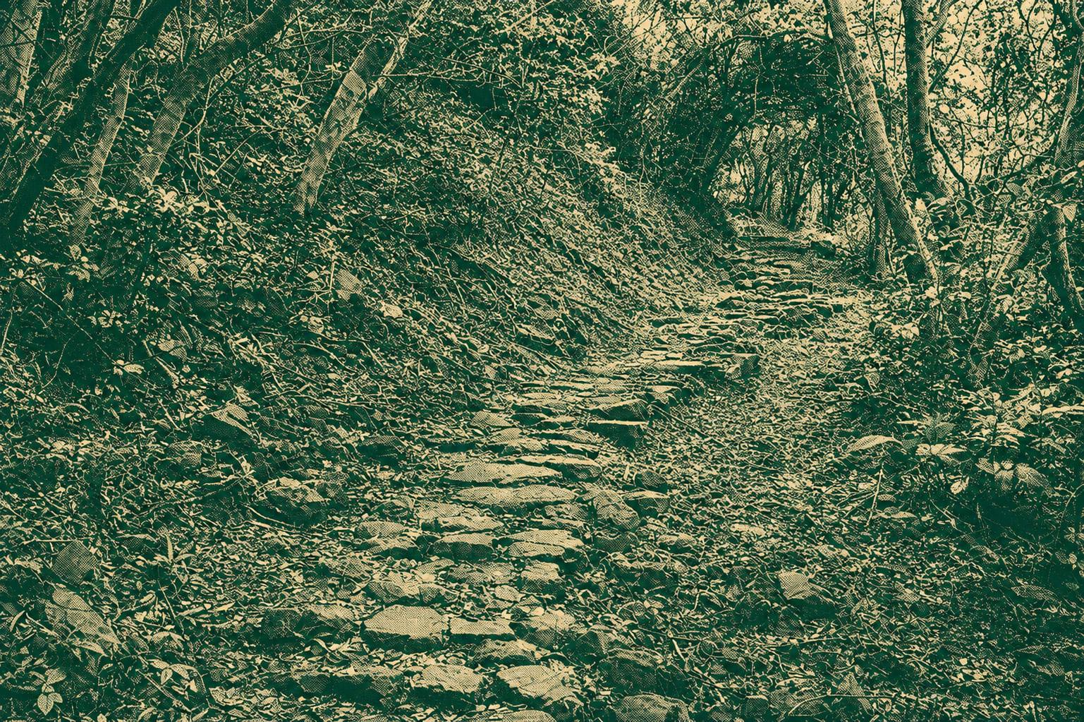
Nam Shan Ancient Trail runs from Mui Wo to Nam Shan, about 3 km. Stone‑paved path through shaded woodland, historic village relics and streamside scenery; links to Lantau Trail Section 2 and Silvermine Bay.

 Open in Google Maps