대전광역시 동구 Dong-gu, Daejeon Metropolitan City
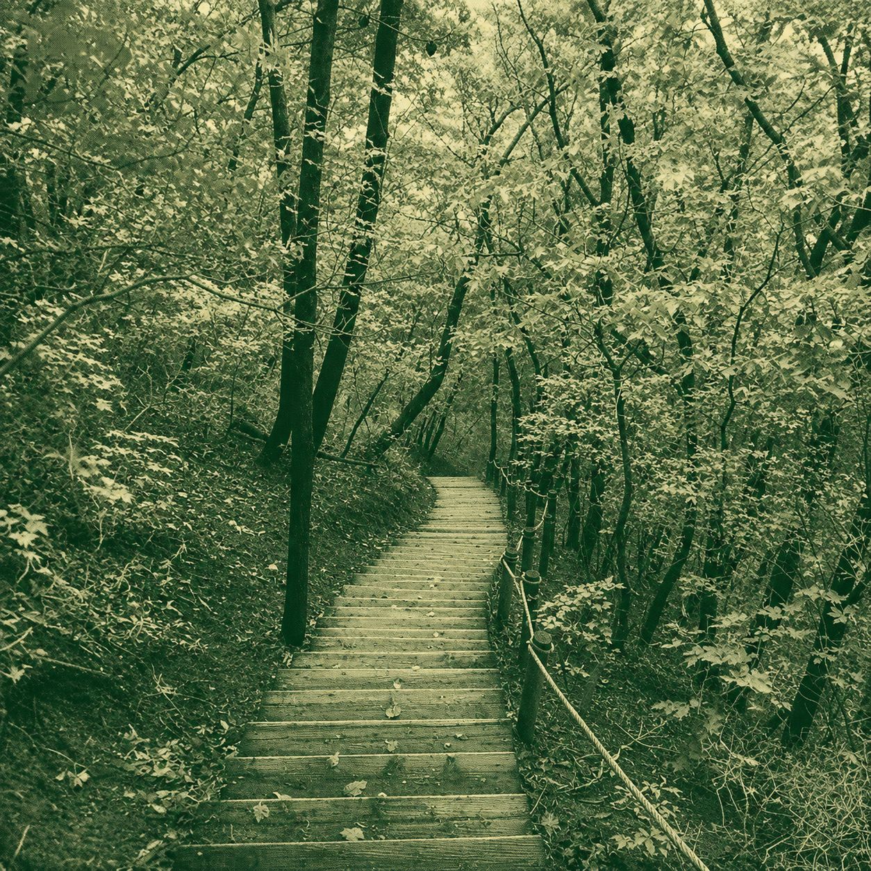
Hill 116 is a compact, approximately 4.6 km hiking route in Dong-gu, Daejeon. This near-loop trail connects several woodland paths across a low urban hillside, with its start and finish about 500 metres apart. As the route passes multiple bends and junctions, hikers should follow the GPX track carefully. It is suitable for a short hike or a relaxing walk in nature close to the city.
 Download GPX
Find this route and more in the WayMe app.
Scan with your phone to download WayMe.


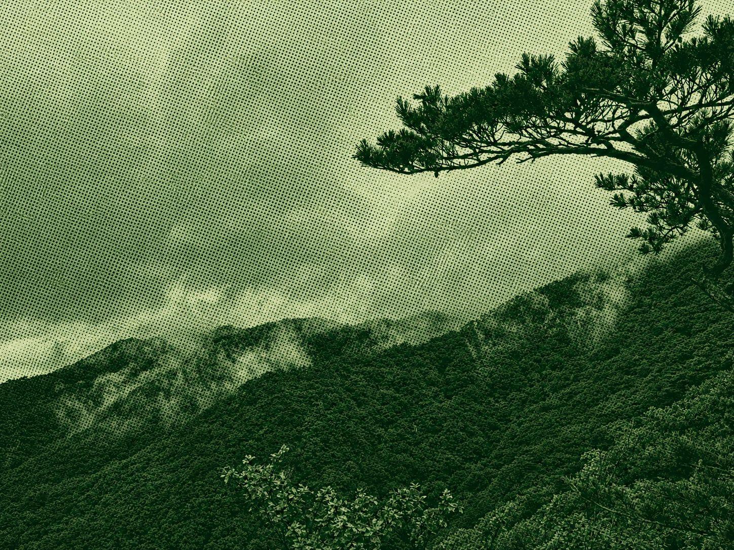
The Cheonghwasan Trail is a moderate mountain hike starting near Neuljae and climbing along the Baekdudaegan ridge toward the summit. The uploaded GPX covers about 5.8 km with roughly 621 m of elevation gain, making the route demanding despite its short distance. Forest paths and ridge sections pass through pine and bamboo grass scenery before reaching the mountain’s approximately 983-metre summit. The route finishes close to the starting area. Sturdy hiking shoes, sufficient water and careful pacing are recommended.
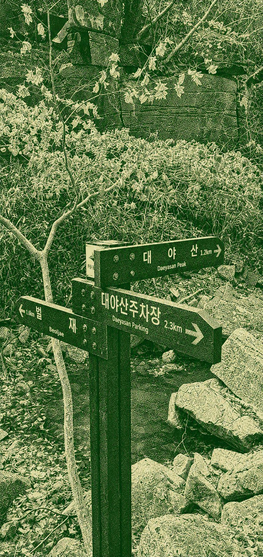
The Daeyasan Loop begins beside the clear waters of Yongchu Valley and climbs to the 931-metre summit. At the main junction, the counterclockwise route follows a steep, stair-heavy ascent, while the clockwise direction offers a gentler climb. The summit rewards hikers with broad views across the surrounding mountains and valleys. Although the route is relatively short, the direct ascent is strenuous. Carry enough water, wear reliable hiking shoes and allow extra time on the steeper sections.
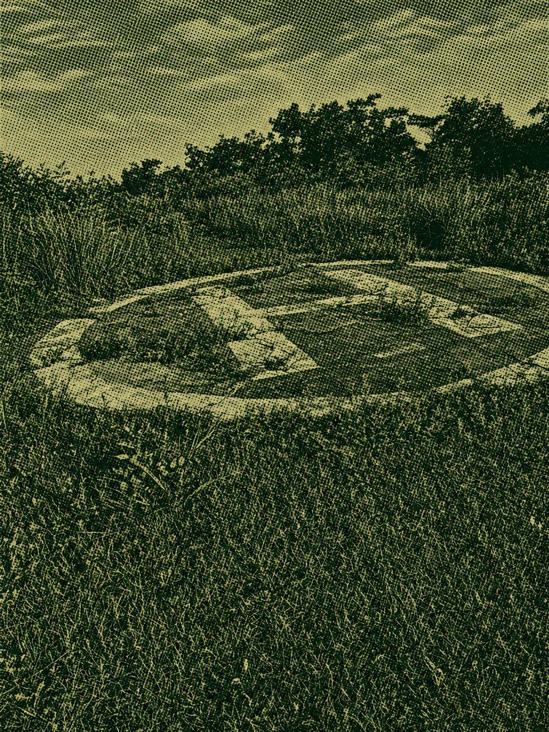
The Joryeongsan Loop is a moderate hike starting and ending at Ihwa Pass. The Goesan-side trail climbs steeply from the beginning, while the Mungyeong side offers a gentler gradient. Most of the route stays under dense forest canopy, providing welcome shade during warmer weather, although there are relatively few open viewpoints. Sustained climbs and descents require steady pacing, so carry sufficient water and wear reliable hiking shoes.

 Open in Google Maps