
Routes in South Korea
100 routes
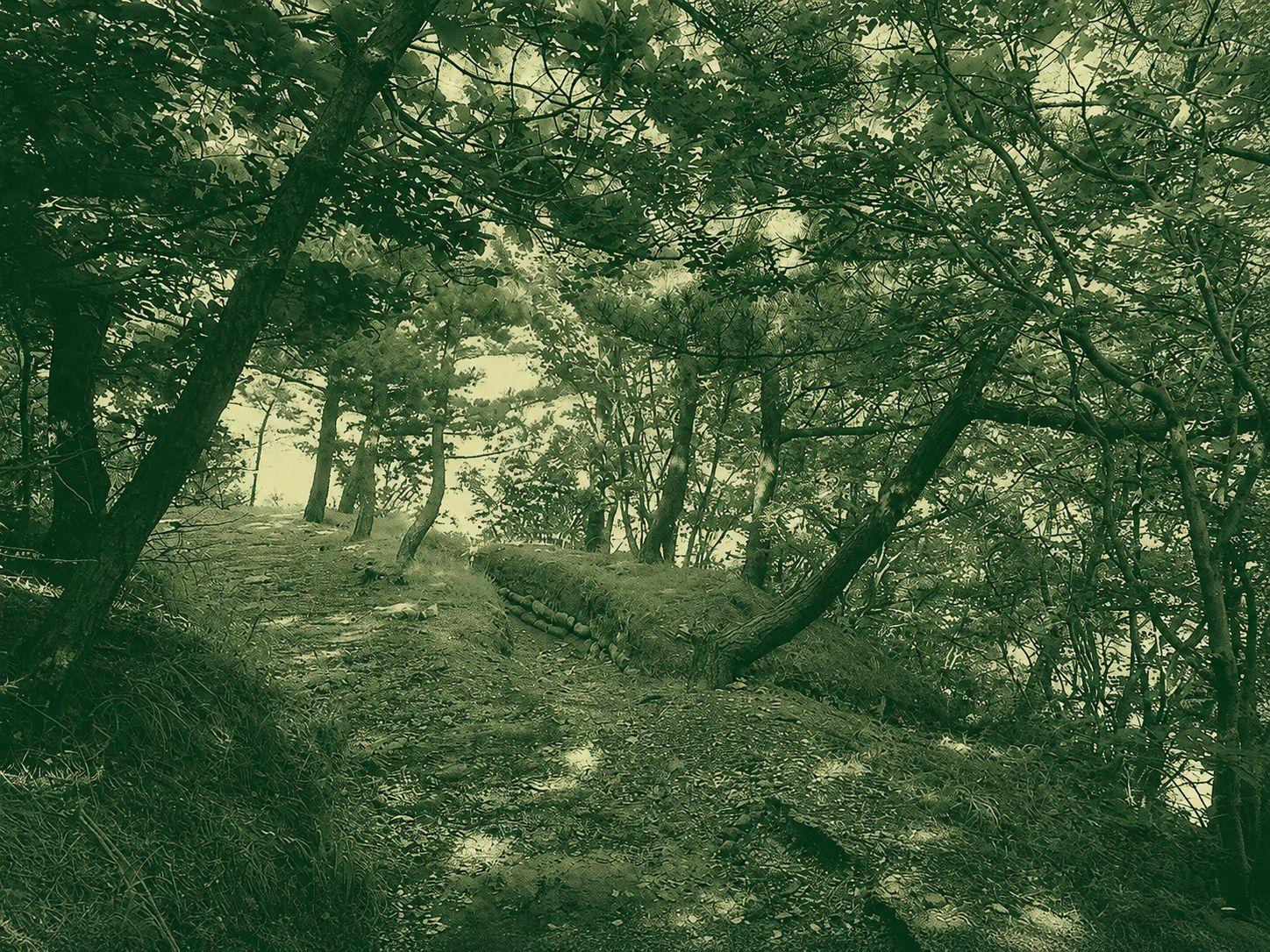
Hill 100
Hill 100 is an approximately 8.6 km point-to-point hiking route in Ongjin County, Incheon. The trail connects several points across the island’s gentle hills, offering a peaceful walk through quiet natural surroundings. Because the start and finish are far apart, hikers should arrange return transportation in advance. It is a suitable choice for those seeking a relaxed half-day hike.
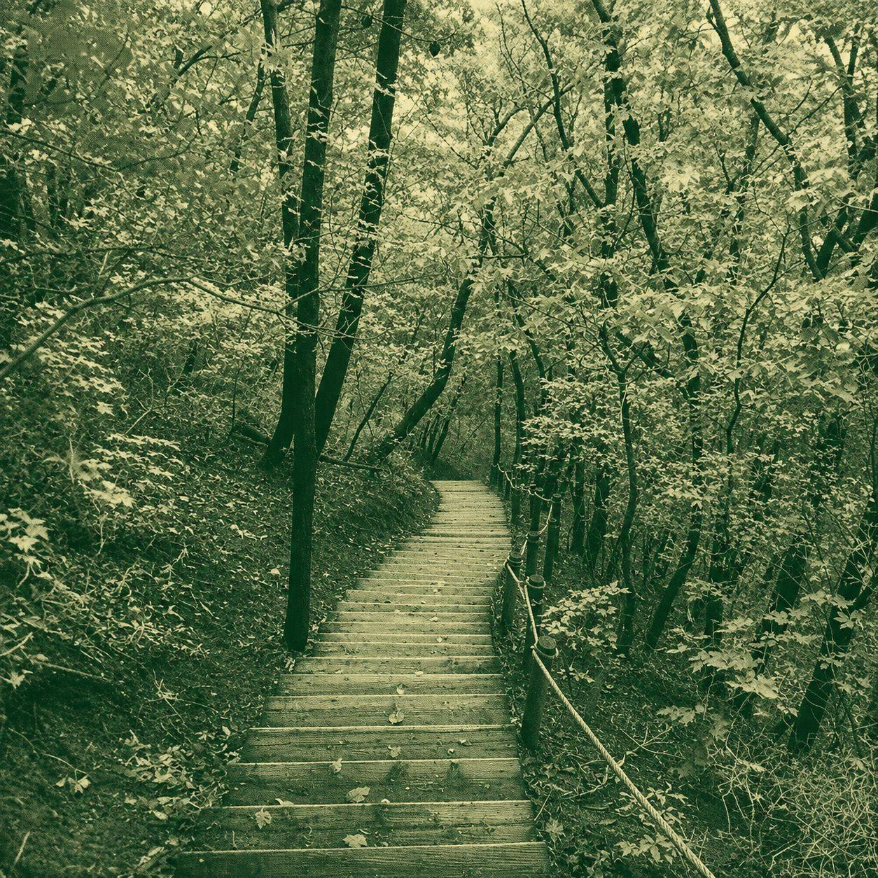
Hill 116
Hill 116 is a compact, approximately 4.6 km hiking route in Dong-gu, Daejeon. This near-loop trail connects several woodland paths across a low urban hillside, with its start and finish about 500 metres apart. As the route passes multiple bends and junctions, hikers should follow the GPX track carefully. It is suitable for a short hike or a relaxing walk in nature close to the city.
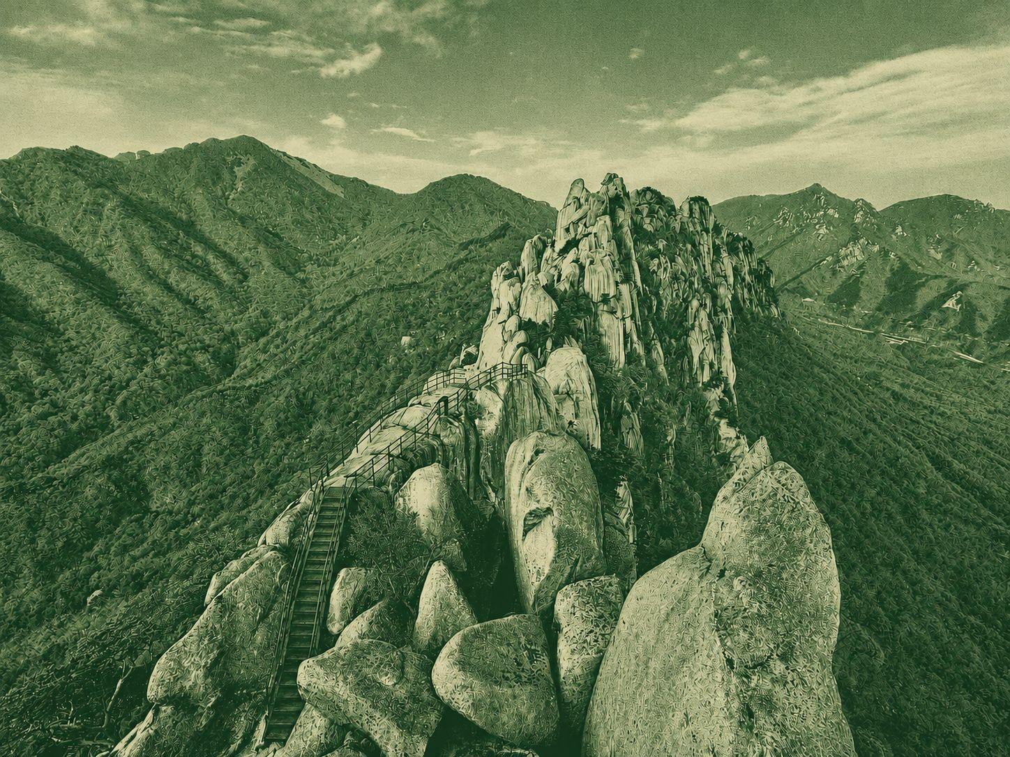
Hallasan Summit
Hallasan Summit is the highest point in Korea at 1,950 metres. Baengnokdam Crater can only be reached via the Seongpanak and Gwaneumsa trails, both of which require advance reservations and enforce checkpoint cut-off times. The route follows forest paths, boardwalks, stone steps and long stair sections. Although the terrain is not technically complex, the continuous ascent and strict schedule make careful pacing, an early start and proper planning essential.
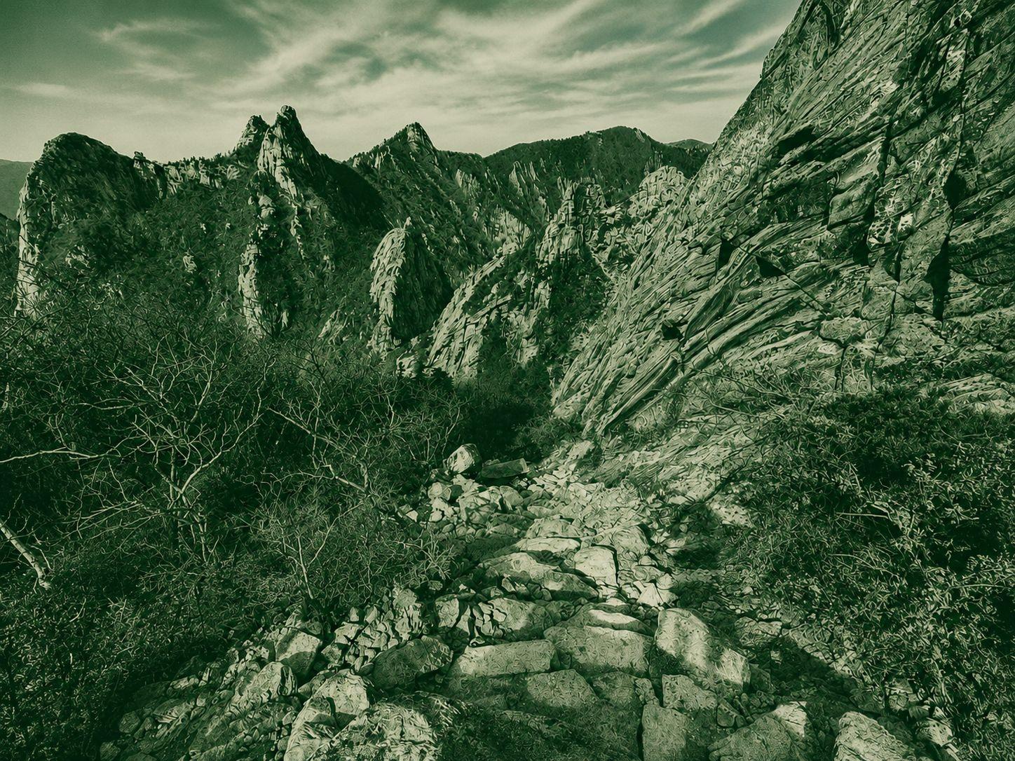
Seoraksan Dinosaur Ridge (Gongryong Neungseon)
Dinosaur Ridge in Seoraksan is a short but exceptionally demanding 4.5 km ridge section. Featuring sharp granite terrain and relentless ups and downs, progress can be slow, and reaching the ridge itself requires a long approach with significant elevation gain. This trail is best suited for experienced hikers, and it is recommended to allow 3 to 5 hours just for the ridge portion alone. Careful planning regarding daylight hours and stamina is essential, along with bringing ample water and appropriate gear.
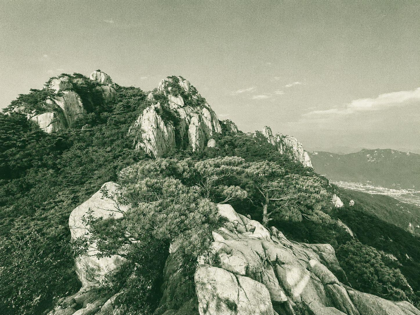
Gwanaksan Ridge Trail
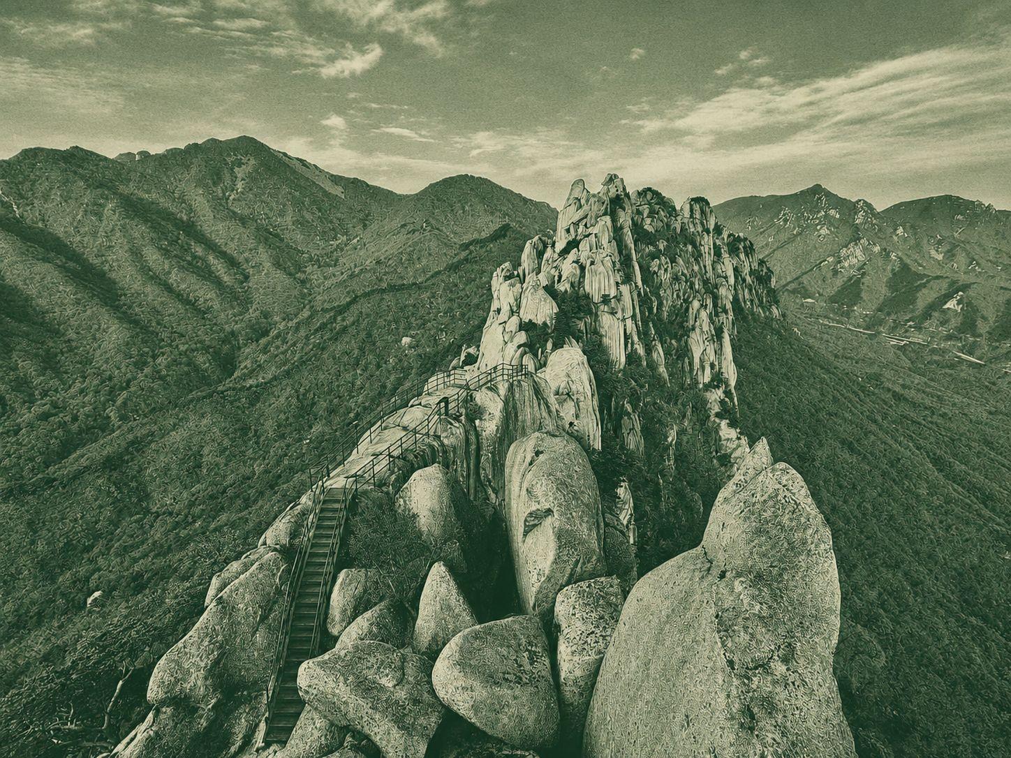
The Ulsanbawi Rock Trail in Seoraksan is a classic short hike that begins in the forest and leads up steep stone steps and granite sections. While relatively short in distance, it requires good physical stamina due to continuous inclines and long staircases. The summit offers breathtaking, open views of Seoraksan and the Sokcho area, though visibility may be limited on foggy or cloudy days. Proper hiking shoes and sufficient water are highly recommended, and visiting on a clear day provides the best experience.
Seoraksan Ulsanbawi Rock Trail
The Ulsanbawi Rock Trail in Seoraksan is a classic short hike that begins in the forest and leads up steep stone steps and granite sections. While relatively short in distance, it requires good physical stamina due to continuous inclines and long staircases. The summit offers breathtaking, open views of Seoraksan and the Sokcho area, though visibility may be limited on foggy or cloudy days. Proper hiking shoes and sufficient water are highly recommended, and visiting on a clear day provides the best experience.
Dobongsan Ridge Hike
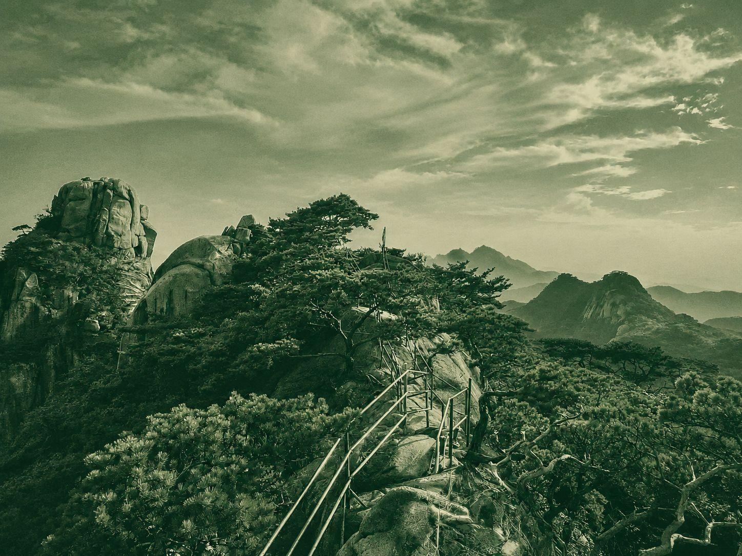
The Dobongsan Ridge Hike is a demanding traverse beginning near Uijeongbu, climbing Sapaesan and continuing across Dobongsan to Jaunbong. Steep granite ridges, ladders, railings and repeated scrambling make progress slow and physically tiring despite the route’s urban location. This is not a casual summit walk and is best suited to experienced, confident hikers. Allow a full day, carry enough water and wear footwear with reliable grip, especially when the rock is wet.
Seoraksan Hiking
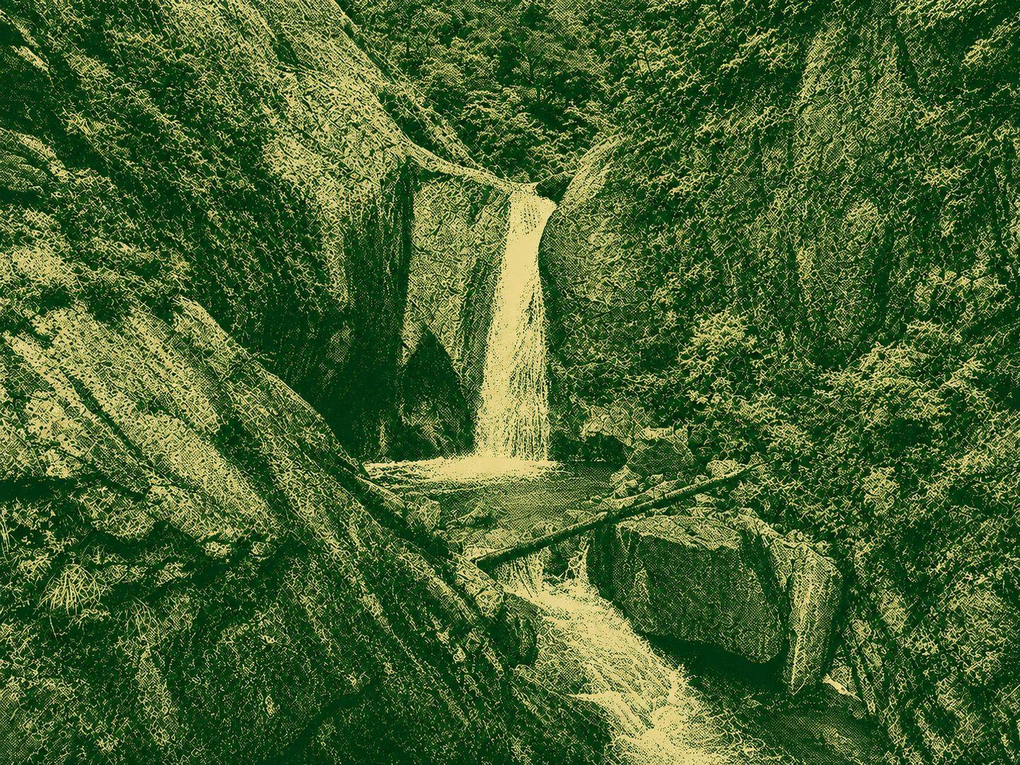
Seoraksan is one of Korea’s most iconic hiking destinations, known for granite ridges, deep valleys, waterfalls and forest trails. Easy walks and accessible viewpoints are available near the main entrances, while routes deeper in the park become steeper, longer and more demanding. Daecheongbong, the park’s highest peak at 1,708 metres, requires strong fitness and careful preparation. Trails can be especially busy during the autumn foliage season, so an early start and a flexible schedule are recommended.
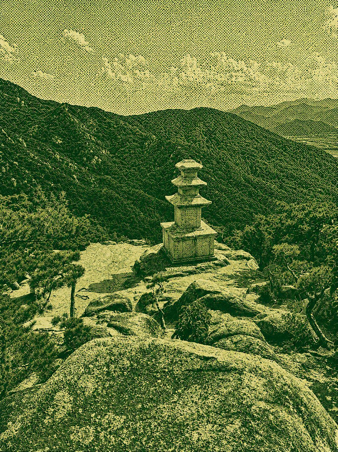
Gyeongju Namsan Buddhist Heritage Trail
The Gyeongju Namsan Buddhist Heritage Trail explores a mountain often described as an open-air museum of Silla culture. Forest paths connect Buddha carvings, rock engravings, stone pagodas and other religious remains created more than a thousand years ago. Some sections include climbs and stone steps, but the cultural discoveries make the walk especially rewarding. The main trailheads are accessible by city bus from central Gyeongju, making this a convenient route for visitors who want to combine hiking, history and Buddhist art.
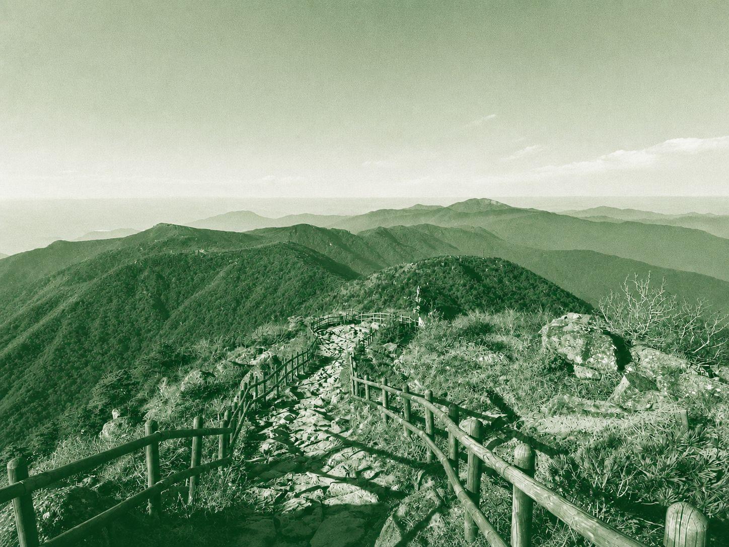
Cheonwangbong Hike
The Cheonwangbong Hike climbs from Jungsan-ri to Jirisan’s highest summit at 1,915 metres, then follows the ridge toward Jangteomok Shelter before returning to the same trailhead. The steep forest ascent and long stone steps demand strong fitness, but the ridge descent rewards hikers with broad views across Jirisan’s layered peaks. This route can be completed in one day without an overnight shelter stay, provided hikers start early, carry enough water and allow sufficient time for the descent.
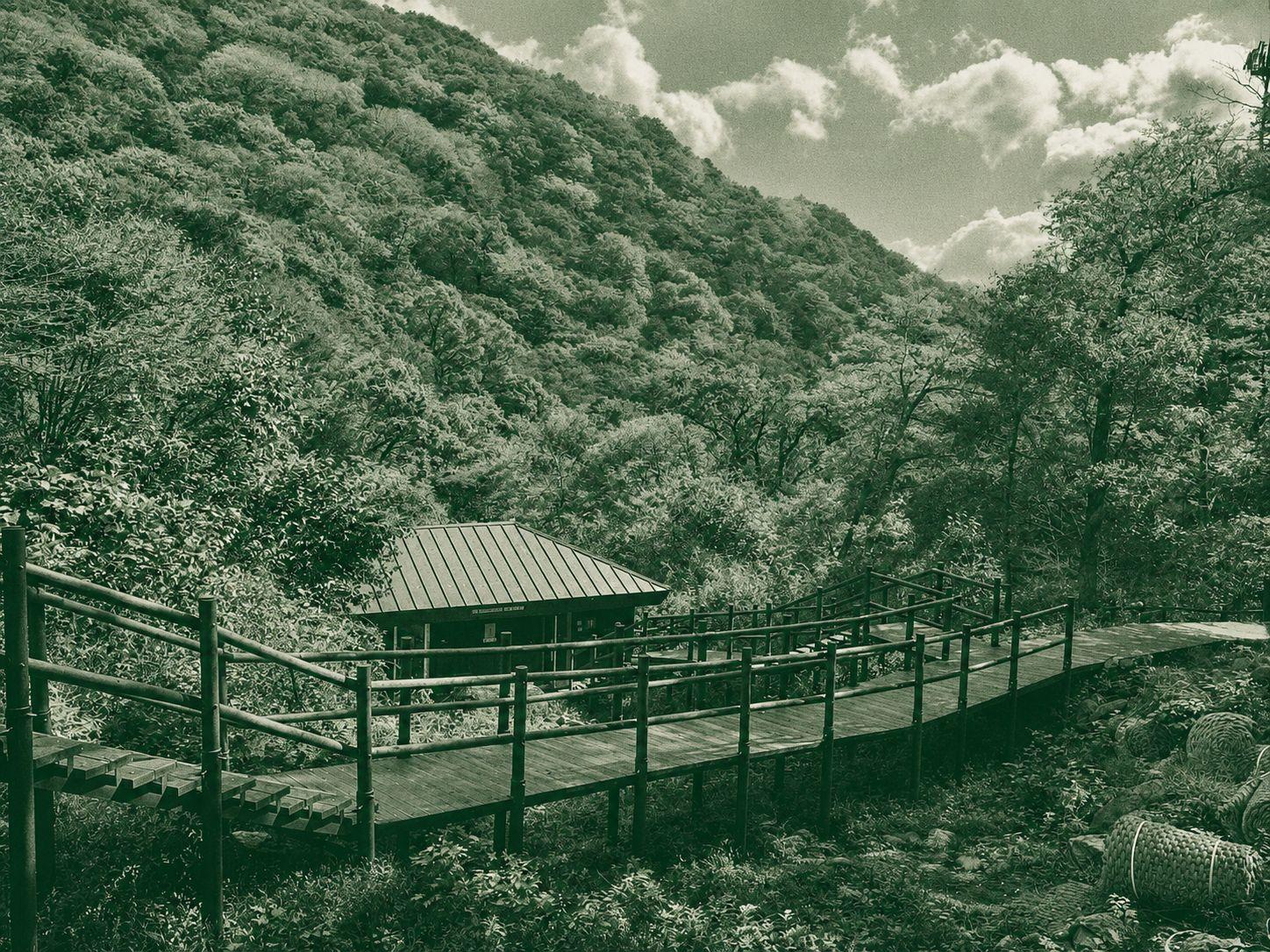
Piagol Valley Hike
The Piagol Valley Hike follows a peaceful river and mossy forest deep into Jirisan National Park. It offers a rewarding mountain experience without requiring a summit climb, making it suitable for families, newer hikers or anyone seeking a calmer day outdoors. Piagol is especially famous for autumn foliage, when the valley and surrounding forest turn vivid shades of red and gold. Trail conditions can change with the season and weather, so hikers should check official park notices before setting out.
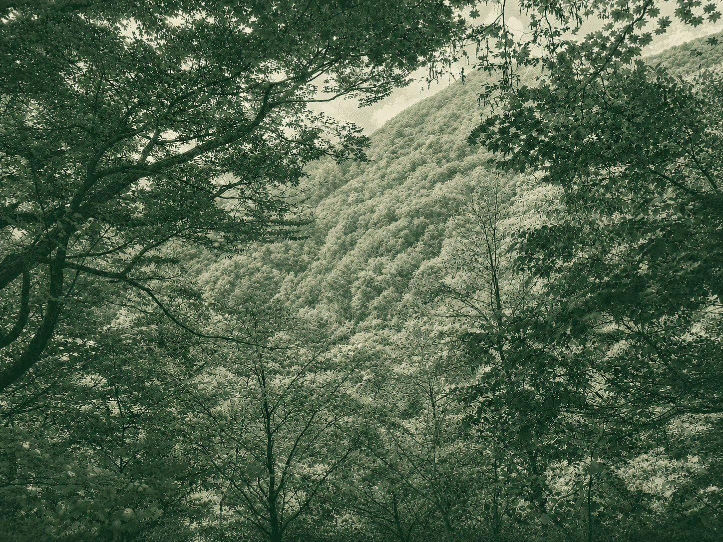
Banyabong Hike
The Banyabong Hike climbs from Piagol Valley to the 1,732-metre summit, one of Jirisan’s major peaks. Long forest trails and sustained ascents make it physically demanding, although technical scrambling is limited. Clouds can obscure the summit views, but the descent through Piagol rewards hikers with a deep valley, peaceful woodland and spectacular autumn foliage. This is a serious full-day mountain route requiring strong fitness, sufficient water, an early start and careful pacing.