서울특별시 Seoul Metropolitan City
The Anyangcheon Stream route follows the Seoul Dulle-gil along Dorimcheon and Anyangcheon. This moderate, point-to-point urban trail mainly uses riverside paths, offering an easy way to enjoy Seoul’s waterways and seasonal scenery without major climbs. Although the terrain is generally flat, the one-way format requires hikers to plan onward transport from the finish. Comfortable walking shoes, water and sun protection are recommended, especially during warmer months.
 Download GPX
Find this route and more in the WayMe app.
Scan with your phone to download WayMe.


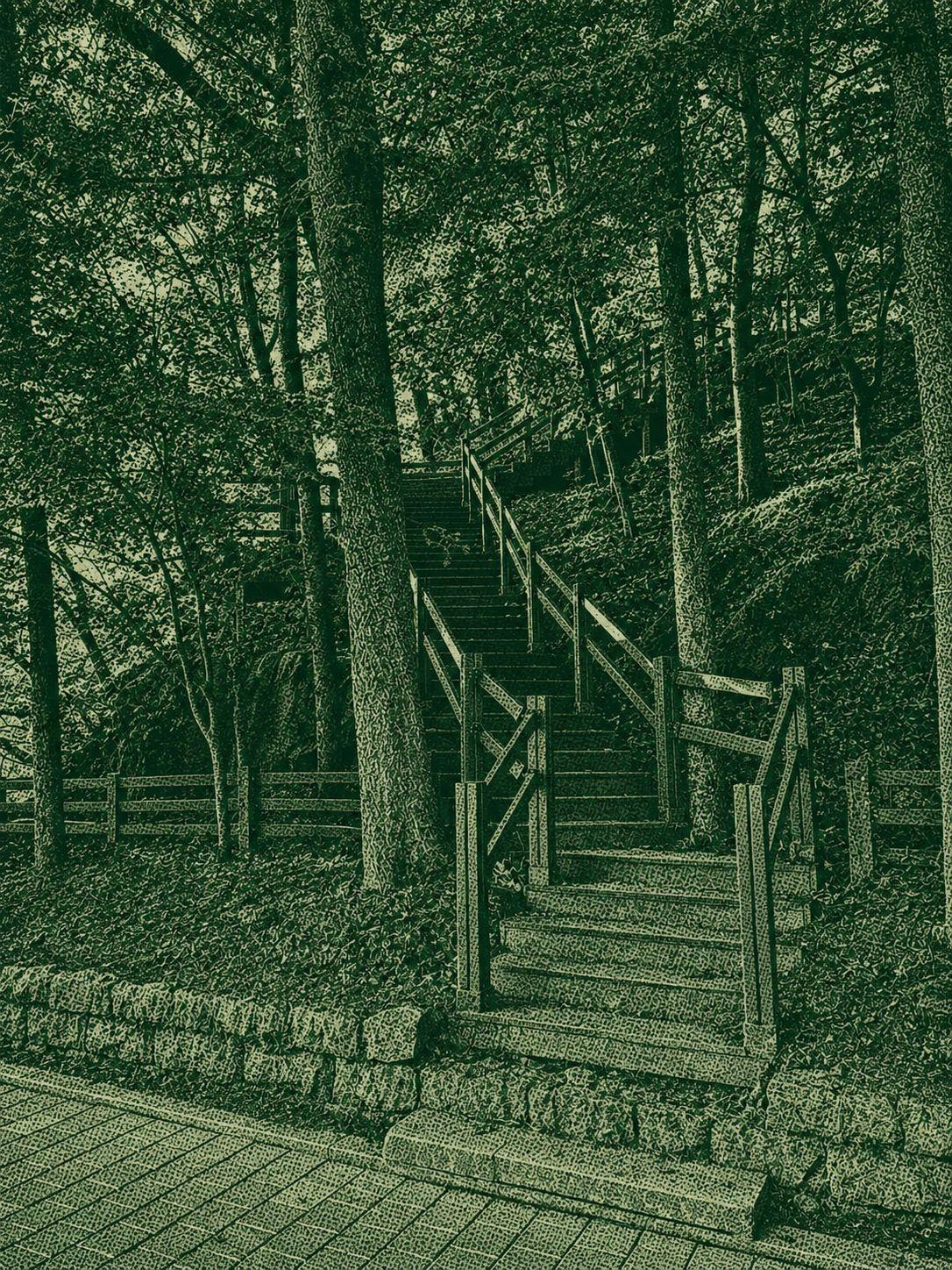
The Cheonggyesan Traverse is a moderate one-way hike from near Seoul Grand Park Station across Cheonggyesan toward Yangjae Citizens’ Forest. The uploaded GPX covers about 11.7 km with roughly 981 m of elevation gain. The trail is well maintained and clearly signed, with no technical climbing required, but the sustained ascent and descent demand good stamina. Higher sections provide broad views over Seoul, Gwacheon and the surrounding hills, making this a scenic but physically rewarding day hike.

The Maebong Out-and-Back Trail is a moderate urban hike through Maebongsan Park to Maebong. The route follows woodland paths and maintained steps along a gentle ridge, with broad views of Seoul from the upper area. Returning by the same trail keeps navigation and transport simple, while the steady climbs provide a satisfying workout. Comfortable hiking shoes and water are recommended for this relaxed half-day route.
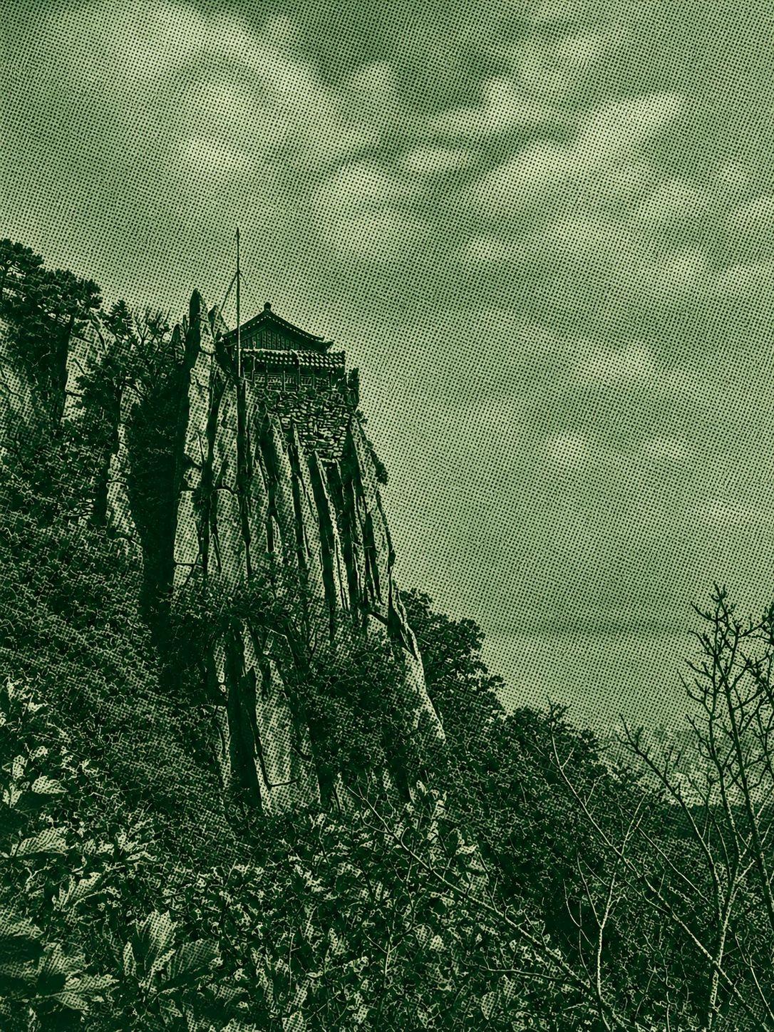
The Gwanaksan–Yeonjudae Trail is a moderate hike linking Gukgibong, Yeonjuam Hermitage, Yeonjudae and several viewpoints in Gwanak-gu, Seoul. The route is over 10 km with more than 800 m of elevation gain, so good stamina is required despite the well-maintained and clearly signed paths. Yeonjudae, perched dramatically on a cliff, is the scenic highlight. The trail also passes Malbawi Observatory, Gwaneumbong, Hamabawi and Geobukbawi, combining mountain scenery, Buddhist heritage and broad city views.

 Open in Google Maps