소백산국립공원, 영주–단양 Sobaeksan National Park, Yeongju–Danyang
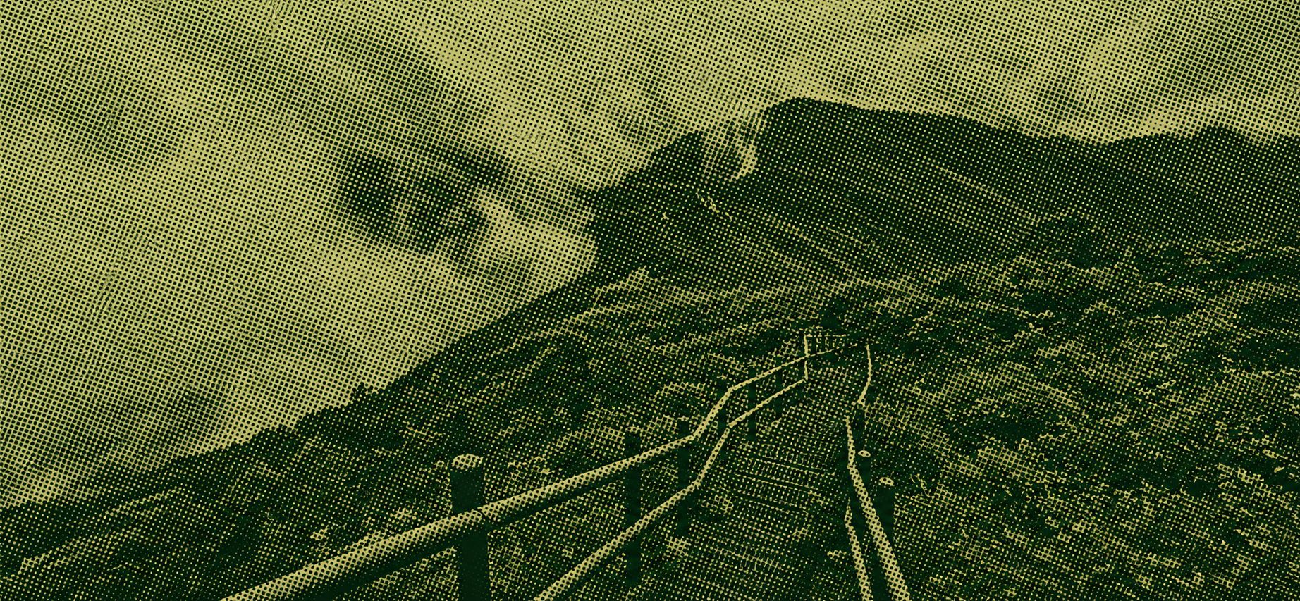
The Samga–Second Yeonhwabong Trail is a demanding one-way hike through Sobaeksan National Park, starting near Samga and Dalbatgol and climbing to Second Yeonhwabong. The uploaded GPX covers about 11.2 km with roughly 1,226 m of elevation gain, beginning near 685 m and reaching a recorded high point around 1,445 m. Long forest climbs lead toward the high ridge and the Second Yeonhwabong Shelter. Carry sufficient water and food, wear sturdy hiking shoes and allow enough time for the sustained ascent.
 Download GPX
Find this route and more in the WayMe app.
Scan with your phone to download WayMe.


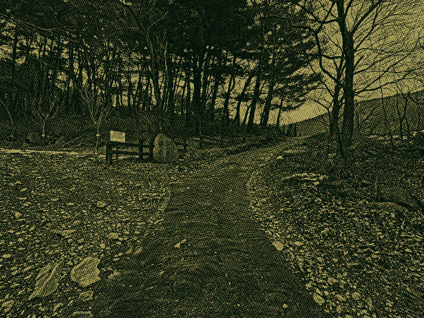
The Samga–Myeonggi-ri Trail is a demanding one-way hike through Sobaeksan National Park, starting from the Samga side and climbing toward the high ridge above Myeonggi-ri. The uploaded GPX covers about 6.7 km with roughly 1,054 m of elevation gain, rising from around 450 m to a recorded high point near 1,451 m. The route shifts from forested slopes to high mountain terrain, offering broad Sobaeksan scenery. Carry sufficient water and food, wear sturdy hiking shoes and prepare for a sustained climb.
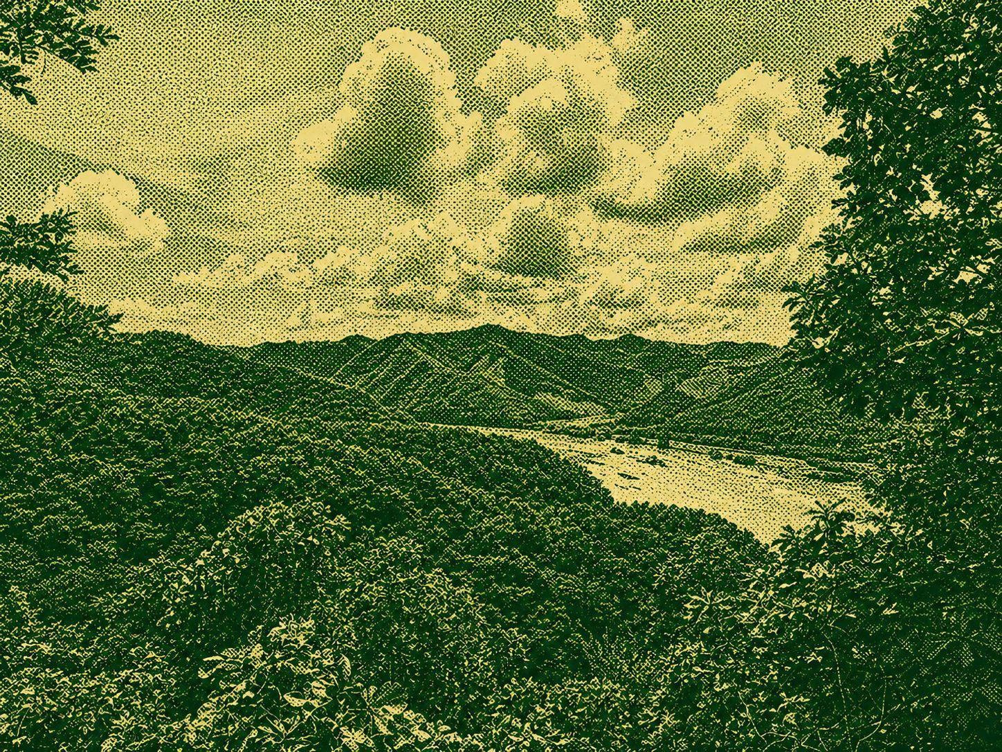
The Hahoe–Wonbyeongsan Trail is an easy walk through low hills and quiet countryside near Hahoe Village in Andong. Covering approximately 5.3 kilometres with about 104 metres of elevation gain, it is suitable for casual walkers and beginner hikers. The route offers a relaxed way to experience the rural landscape surrounding Hahoe. Check the route at minor junctions, and carry water and sun protection during warm weather.
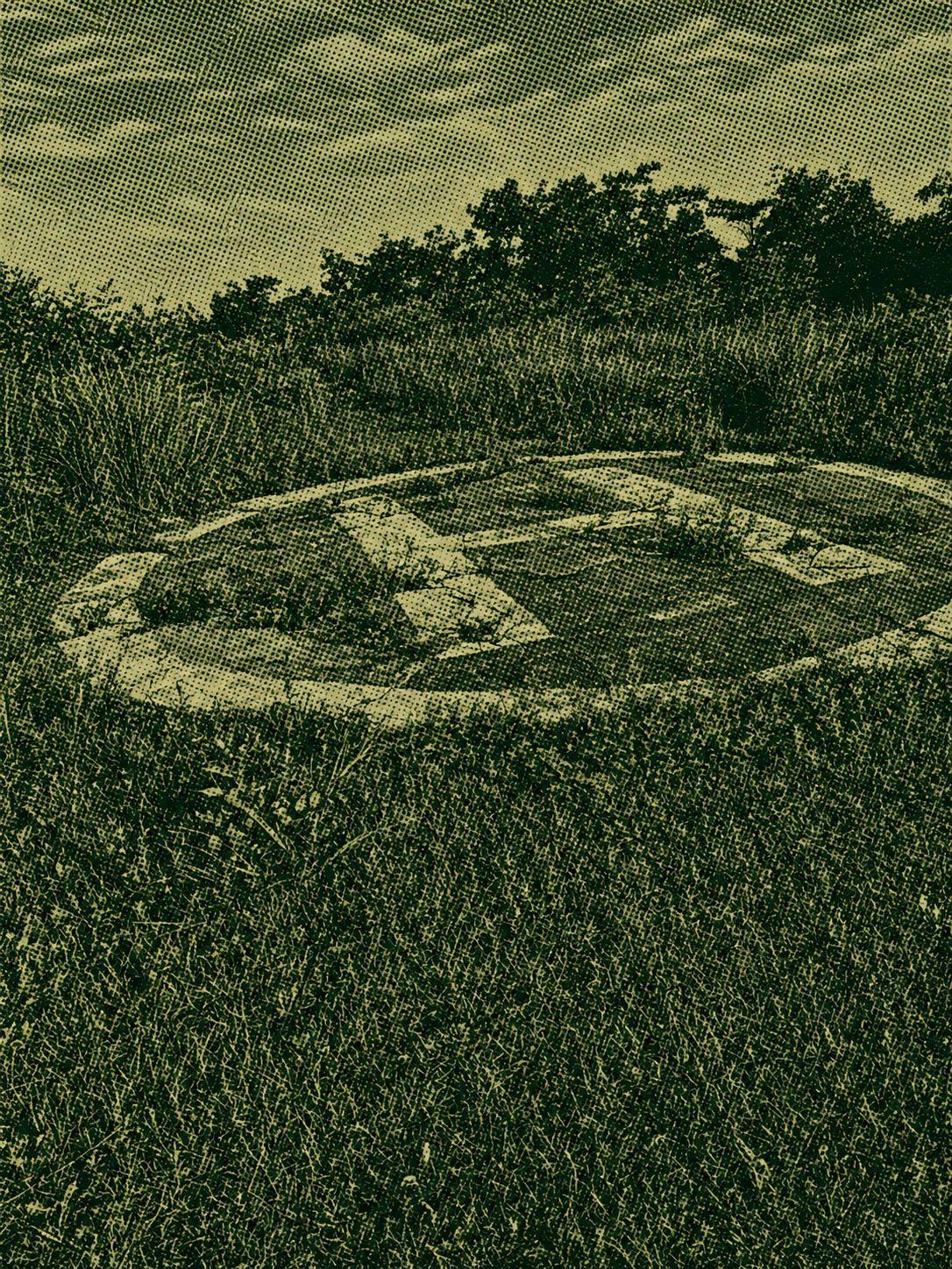
The Joryeongsan Loop is a moderate hike starting and ending at Ihwa Pass. The Goesan-side trail climbs steeply from the beginning, while the Mungyeong side offers a gentler gradient. Most of the route stays under dense forest canopy, providing welcome shade during warmer weather, although there are relatively few open viewpoints. Sustained climbs and descents require steady pacing, so carry sufficient water and wear reliable hiking shoes.

 Open in Google Maps