南河内郡(大阪府)Minamikawachi, Osaka
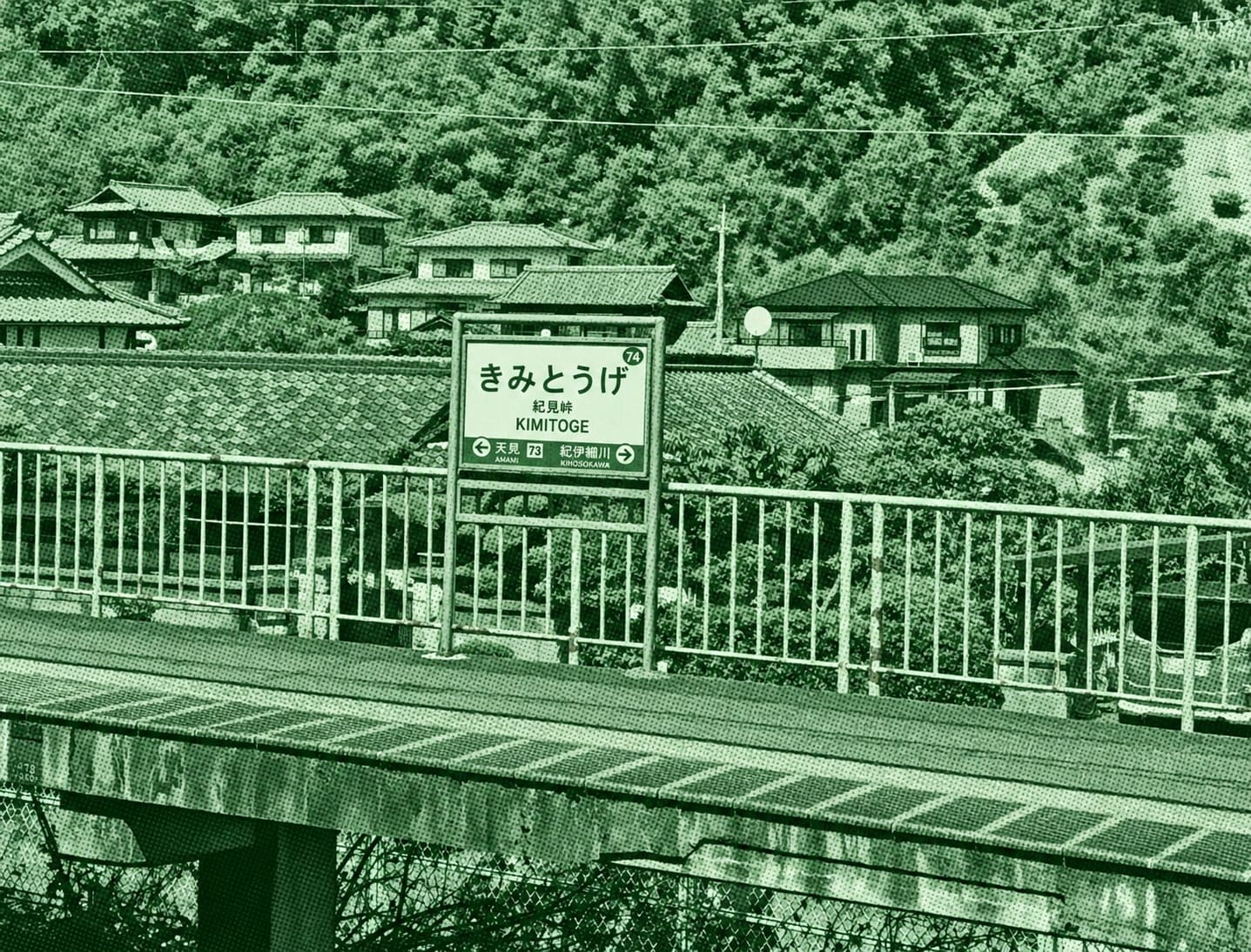
This mountain route climbs Mt. Kongo from Kimitōge Station through peaceful forests and scenic mountain paths. Along the way, hikers can visit historic temples and shrines before reaching viewpoints near the summit that overlook the surrounding mountains and valleys.
 Download GPX
Find this route and more in the WayMe app.
Scan with your phone to download WayMe.


Forecast near the start point
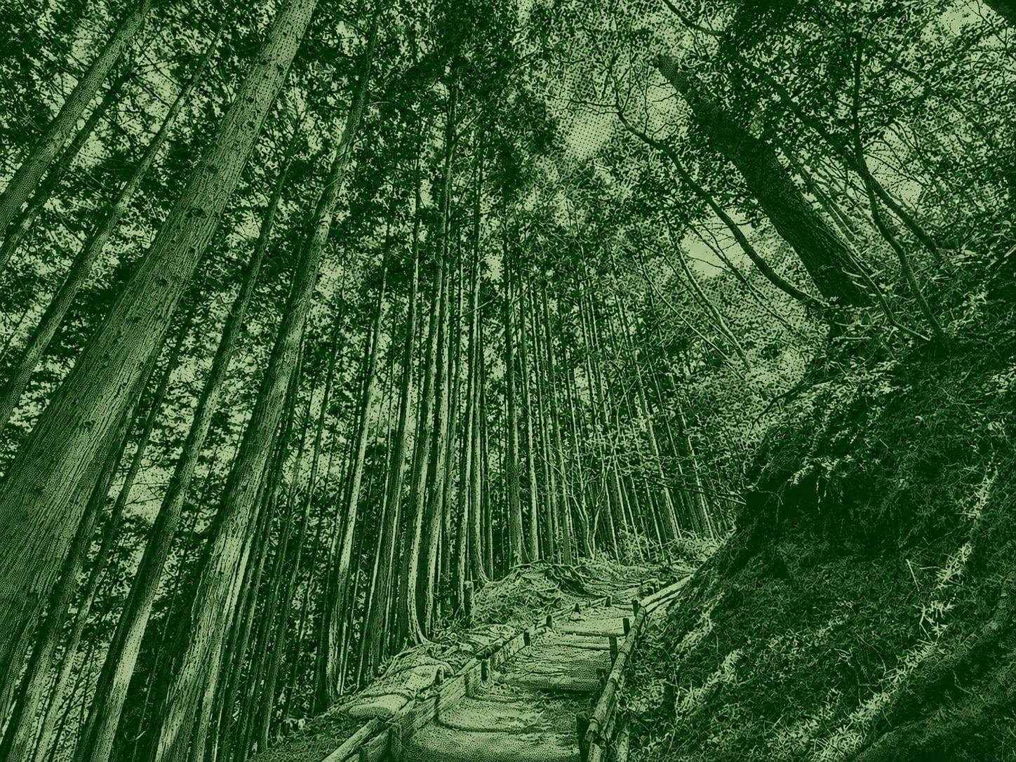
A steep historic pilgrimage trail leading to the summit of Mount Kongo through an ancient forest of Japanese beech and pine trees. The route features a challenging staircase climb and ends at Kongōsan Chihaya Shrine, located on the border of Osaka and Nara prefectures. Hikers are rewarded with panoramic views of the Kansai region, including Osaka’s skyline and distant Awaji Island.
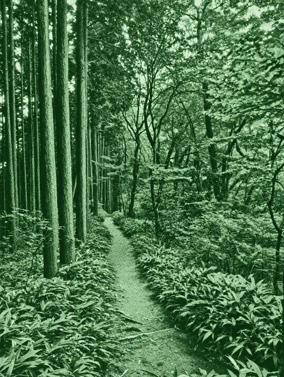
The Tsutsujiodani Route is a classic ascent of Mount Kongo, following a mountain valley with streams, bridges, and dense forest. The trail becomes steeper near the summit but rewards hikers with expansive views and cool mountain air. It is especially attractive during spring and autumn.
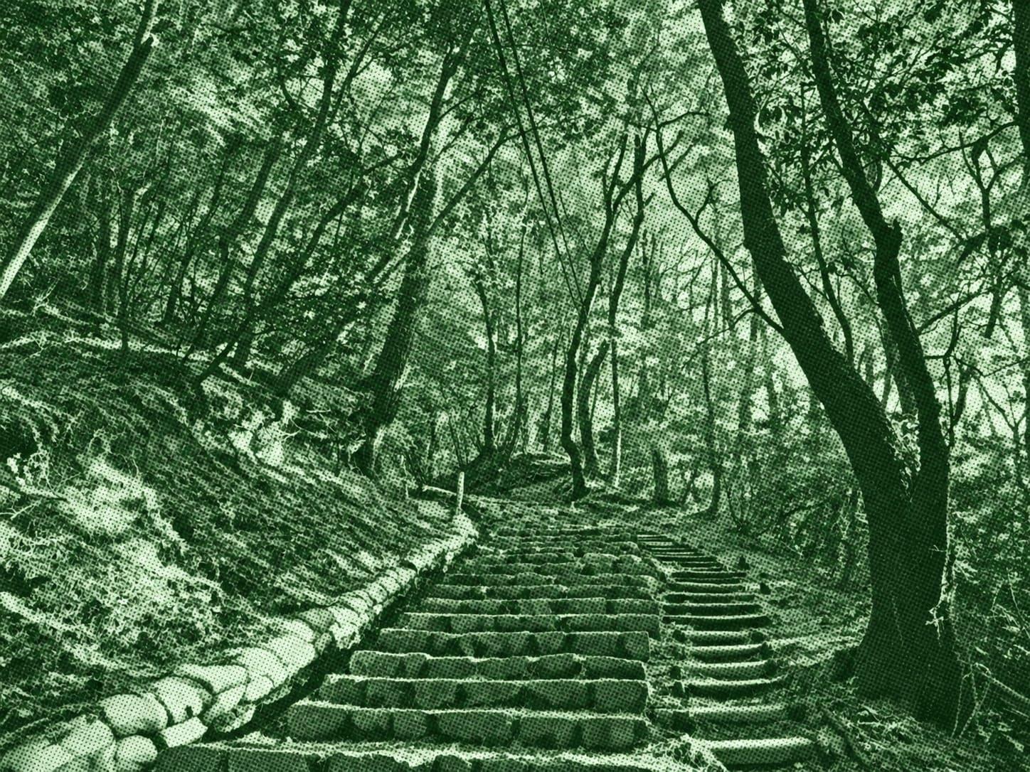
The Mizugasaka Route is a Mount Kongo trail that climbs through forested mountain terrain and quiet valleys. Hikers experience a steady ascent, natural surroundings, and refreshing mountain scenery before reaching the higher areas of the mountain.

 Open in Google Maps