Redondela
Redondela–Pontevedra is a scenic stage of the Camino Portugués through the green countryside of Galicia. The route passes through eucalyptus and pine forests, rural villages, stone paths, and sections with views over the Ría de Vigo. Highlights include the historic Ponte Sampaio and the old cobbled Brea Vella da Canicouva. The trail is approximately 19–20 km long, with gentle climbs and descents, before reaching the historic center of Pontevedra.

Find this route and more in the WayMe app.
Scan with your phone to download WayMe.



This scenic section of the Camino Portugués de la Costa connects Vigo with Redondela through a mixture of urban streets, forest paths, rural lanes, and the Senda da Auga. After leaving Vigo, the route climbs toward the hills around Teis before following the old water-supply path through woodland and countryside. Along the way, hikers can enjoy views over the Ría de Vigo, the Ensenada de San Simón, and the Rande Bridge. The route continues through Cedeira and descends toward Redondela, where the coastal and central Camino routes meet. Depending on the variant, the route is approximately 15–20 km and takes around 4–5 hours.
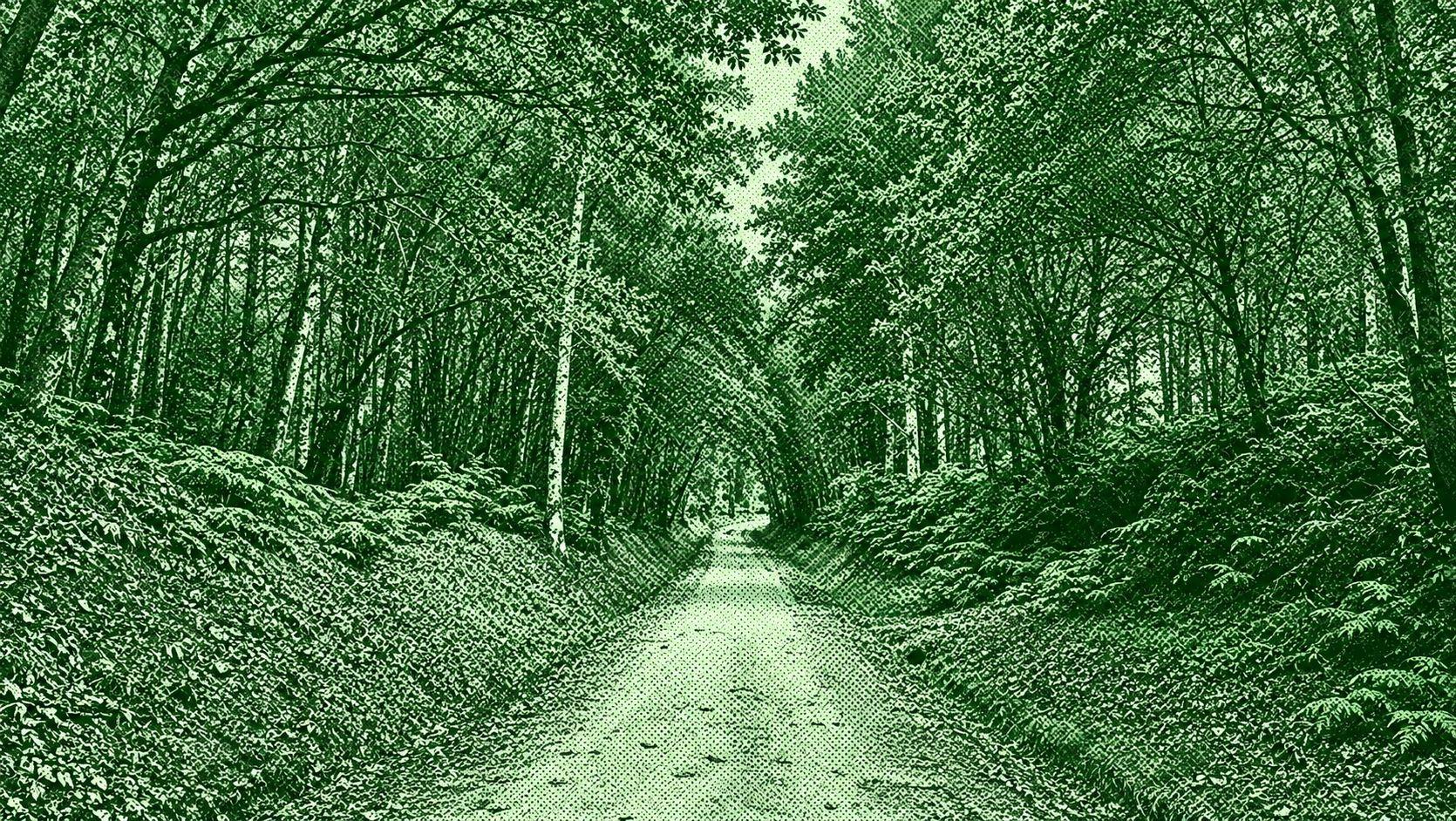
O Porriño – Redondela is a stage of the Camino Portugués through the rural landscapes of Galicia. The route leaves O Porriño and passes through Mos, following countryside paths toward the Capela de Santiaguiño de Antas and a historic Roman milestone from the former Via XIX. From there, the trail continues through pine and eucalyptus forests, rural villages, and gentle hills before descending toward Redondela, with views toward the Ría de Vigo and the island of San Simón. The official route is approximately 16.4 km and takes around 3 hours 10 minutes.

Pontevedra–Caldas de Reis is a scenic stage of the Camino Portugués through the green countryside of Galicia. The route leaves Pontevedra across the historic Ponte do Burgo and continues through rural villages, vineyards, oak and eucalyptus forests, stone paths, and traditional Galician landscapes. Along the way, hikers pass Santa María de Alba, San Caetano, San Amaro, Valbón, Briallos, and Tivo before reaching the thermal town of Caldas de Reis. The official route is about 22.9 km and takes approximately 5 hours 45 minutes.

 Open in Google Maps