
Routes in Spain
100 routes
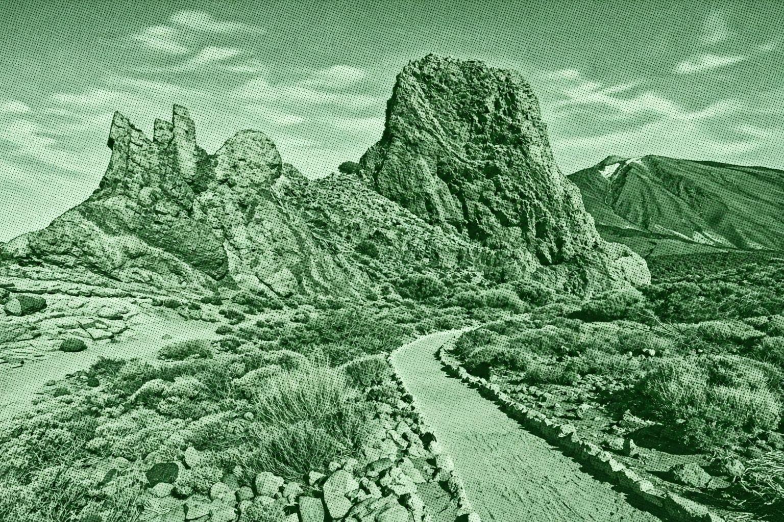
Rocks of Garcia
A spectacular circular trail through the volcanic landscape of Teide National Park. The route winds around the dramatic Roques de García formations, including Roque Cinchado, El Torrotito, El Burro and La Catedral. At roughly 2,000–2,200 m elevation, it offers striking views of Mount Teide, the Llano de Ucanca and surrounding lava formations. The official PNT-03 route is about 3.6 km and takes around 2 hours.
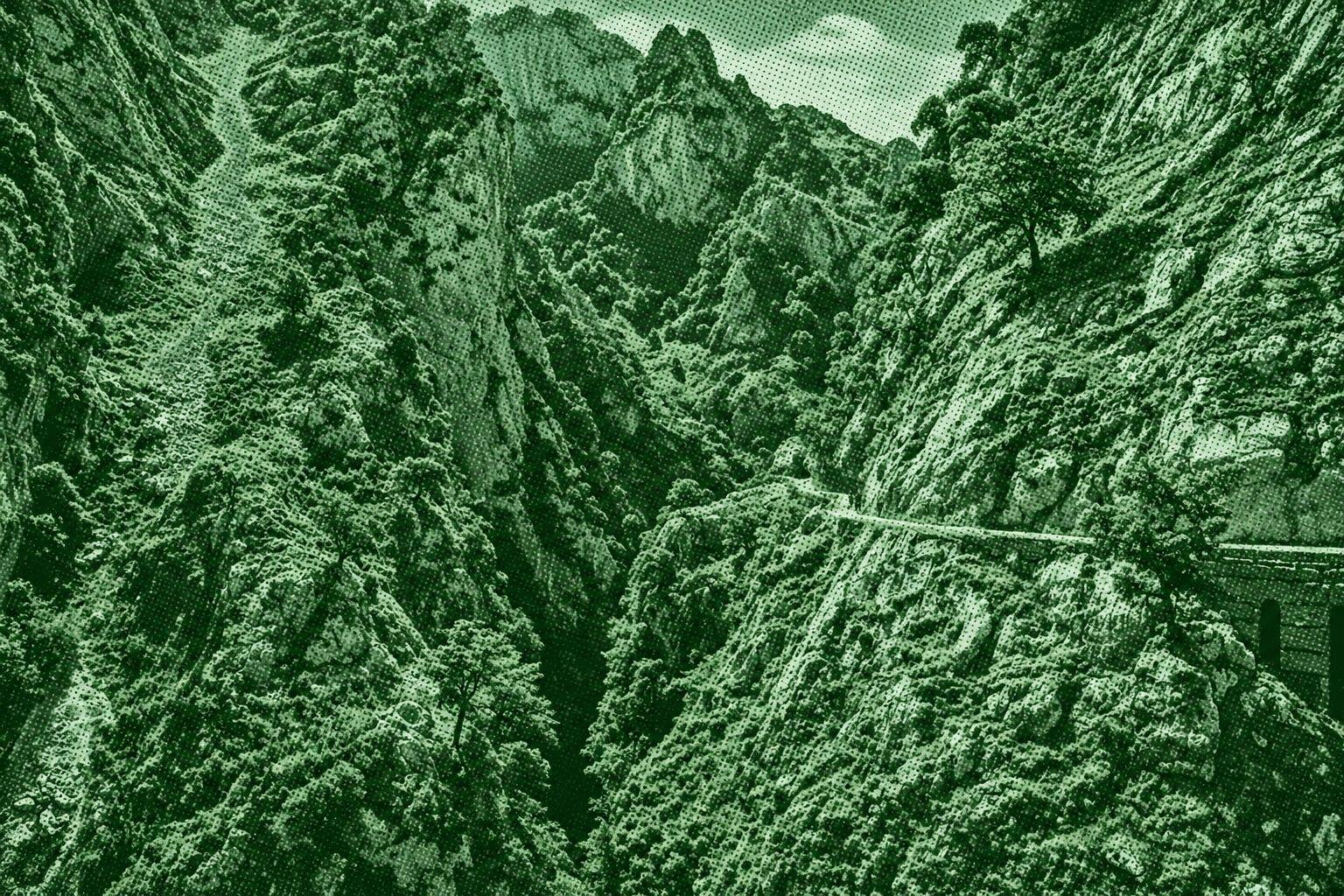
Ruta del Cares
A spectacular mountain route through the Cares Gorge in Picos de Europa National Park. The trail follows the Cares River between Poncebos in Asturias and Caín in León, passing narrow paths carved into dramatic limestone cliffs, tunnels, bridges, and steep canyon walls. It is known for its impressive views of the surrounding mountains and deep gorge. The route is approximately 12 km one way between Poncebos and Caín.
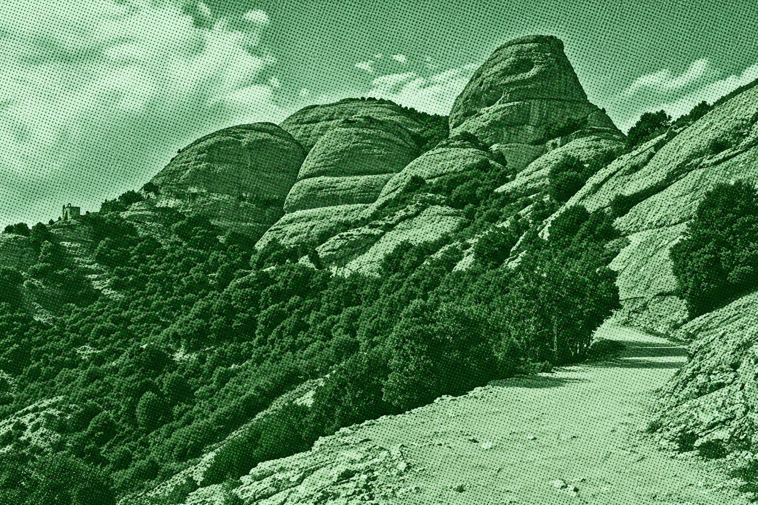
Sant Jeroni Summit Loop
Sant Jeroni Summit Loop is a circular mountain trail in the Montserrat Natural Park, leading to Sant Jeroni, the highest point of the Montserrat massif at 1,236 meters. The route passes through oak forests, rocky paths, steep stairways, and distinctive rounded rock formations known as the Gorros. Near the summit, hikers can enjoy wide panoramic views across Catalonia and toward the Pyrenees. The official Montserrat route from the Sant Joan funicular area is about 7 km and takes approximately 2 hours 30 minutes.
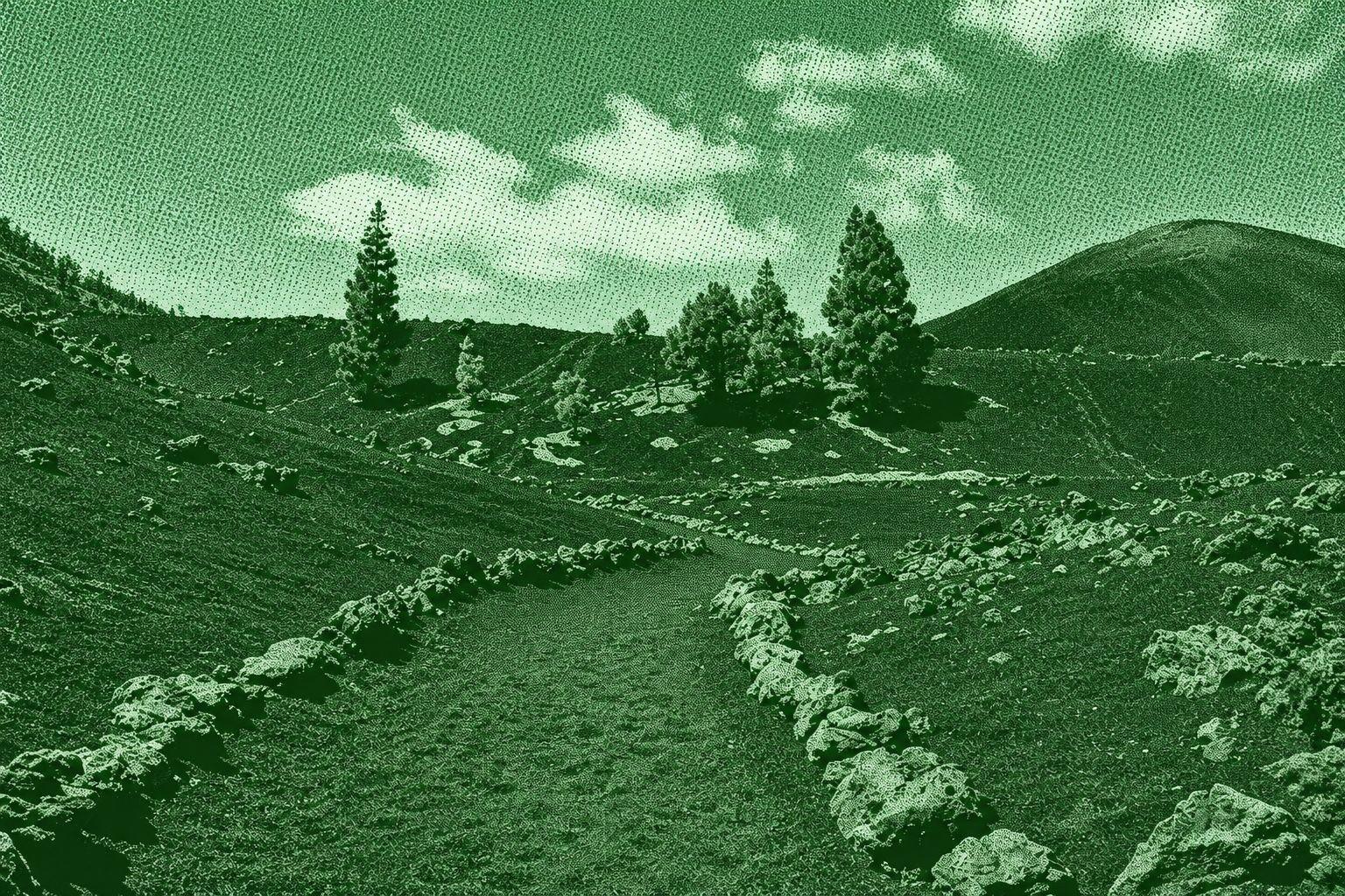
Chinyero Volcano
Chinyero Volcano is a scenic circular hiking route around Tenerife’s youngest volcano, which erupted in 1909. The trail crosses dramatic black lava fields, volcanic ash, pine forests, and rugged formations created by the eruption. Along the route, hikers can see the Chinyero volcanic cone and extensive solidified lava flows, with views toward Mount Teide and Pico Viejo on clear days. The route around the volcano is approximately 6–7 km, depending on the specific trail variation.
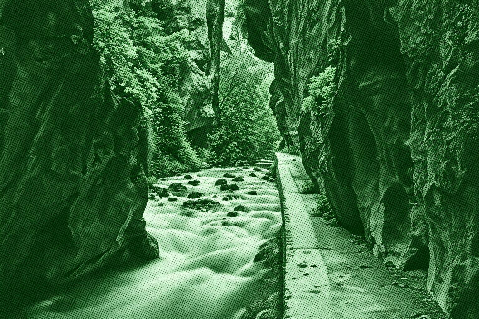
Monachil's dogs
Cahorros de Monachil is a scenic gorge trail following the Monachil River through the foothills of Sierra Nevada. The route passes beneath towering limestone walls, through narrow passages and caves, and across several suspension bridges, including one more than 60 meters long. The surrounding landscape combines rocky cliffs, flowing water, vegetation, and dramatic canyon scenery. Different versions of the route are available, with the local tourism office describing the main Cahorros route as a medium-to-low difficulty hike taking around two hours.
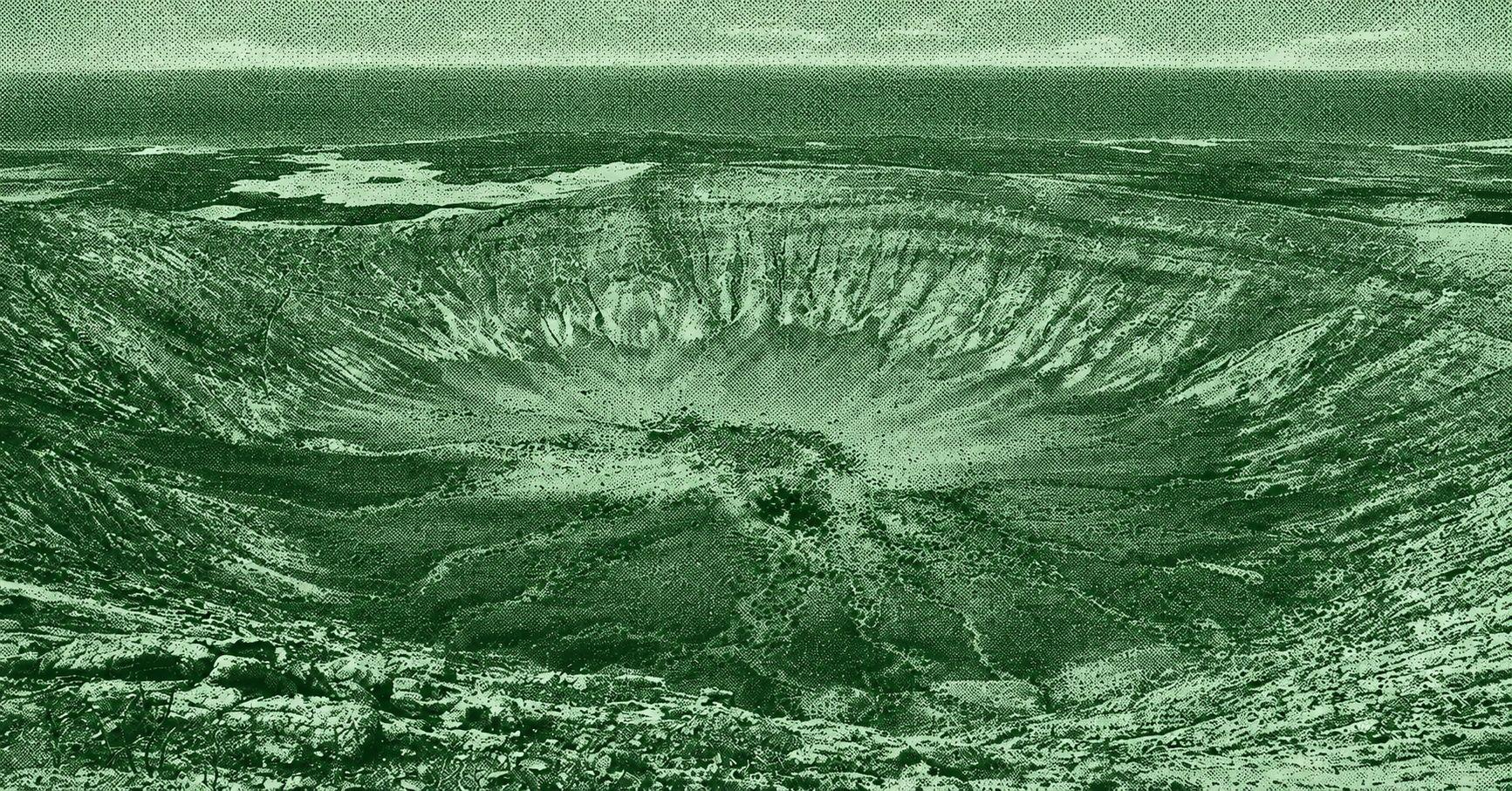
Caldera Blanca Volcano
Caldera Blanca Volcano is a spectacular circular hiking route through the volcanic landscape of Lanzarote. The trail crosses vast black lava fields from the historic Timanfaya eruptions before ascending toward the rim of Caldera Blanca, a huge volcanic crater more than one kilometer wide. From the rim, hikers can enjoy panoramic views across the surrounding lava fields and volcanic cones. The official Tinajo route is approximately 10 km long, takes around 4½ hours, and is rated moderate.
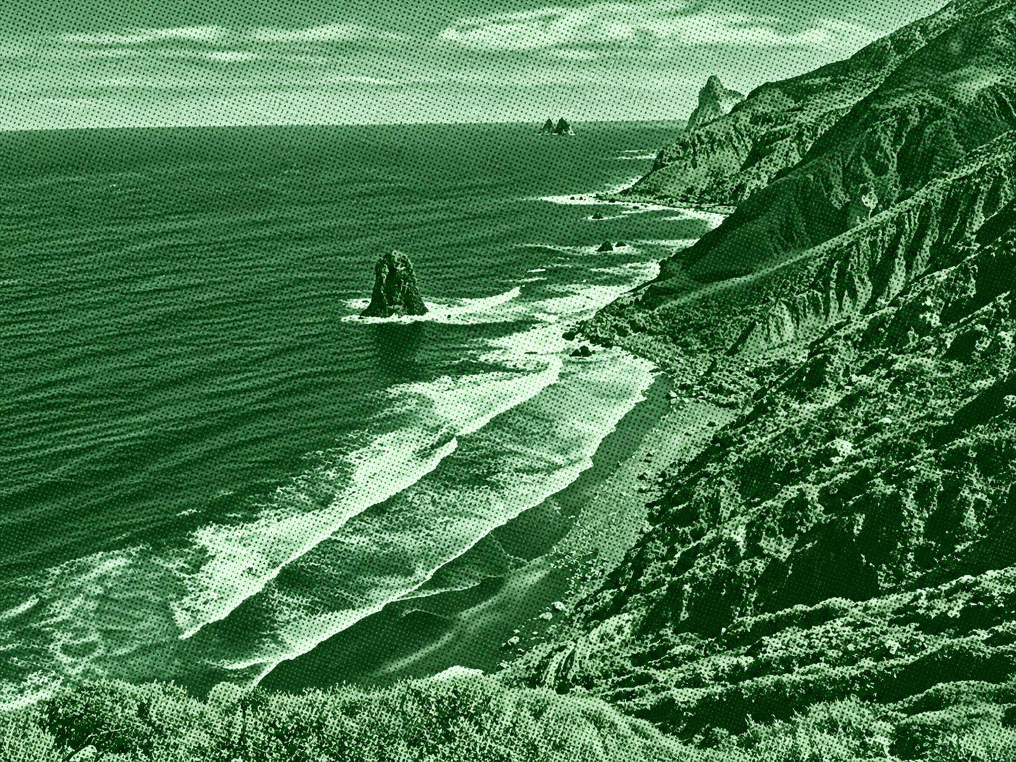
Benijo - Cruz del Draguillo
Benijo–Cruz del Draguillo is a scenic coastal and mountain trail in Anaga Rural Park. Starting near Benijo Beach, the route follows the coast toward El Draguillo before climbing through rugged terrain to Cruz del Draguillo. Along the way, hikers encounter dramatic Atlantic views, volcanic cliffs, native vegetation, and the distinctive Roques de Anaga rock formations. The route is approximately 5 km for the Benijo–Cruz del Draguillo loop, with steep sections and rocky or uneven terrain.
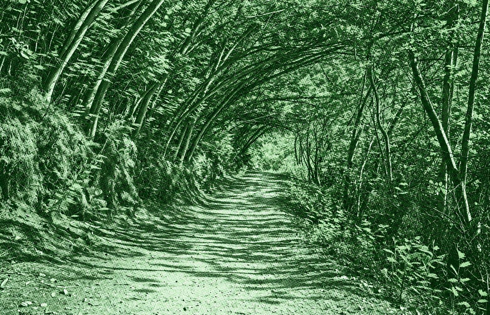
Padrón - Santiago de Compostela
Padrón–Santiago de Compostela is the final stage of the Portuguese Way of the Camino de Santiago in Galicia. The route leaves Padrón and passes through Iria Flavia, A Escravitude, O Faramello, Osebe, and O Milladoiro before entering Santiago de Compostela. The trail follows the Sar Valley through a mixture of rural lanes, wooded sections, villages, and urban paths, with views of the Galician countryside. The official route is about 25 km long and takes approximately 5 hours, with low difficulty.
Mount Guajara
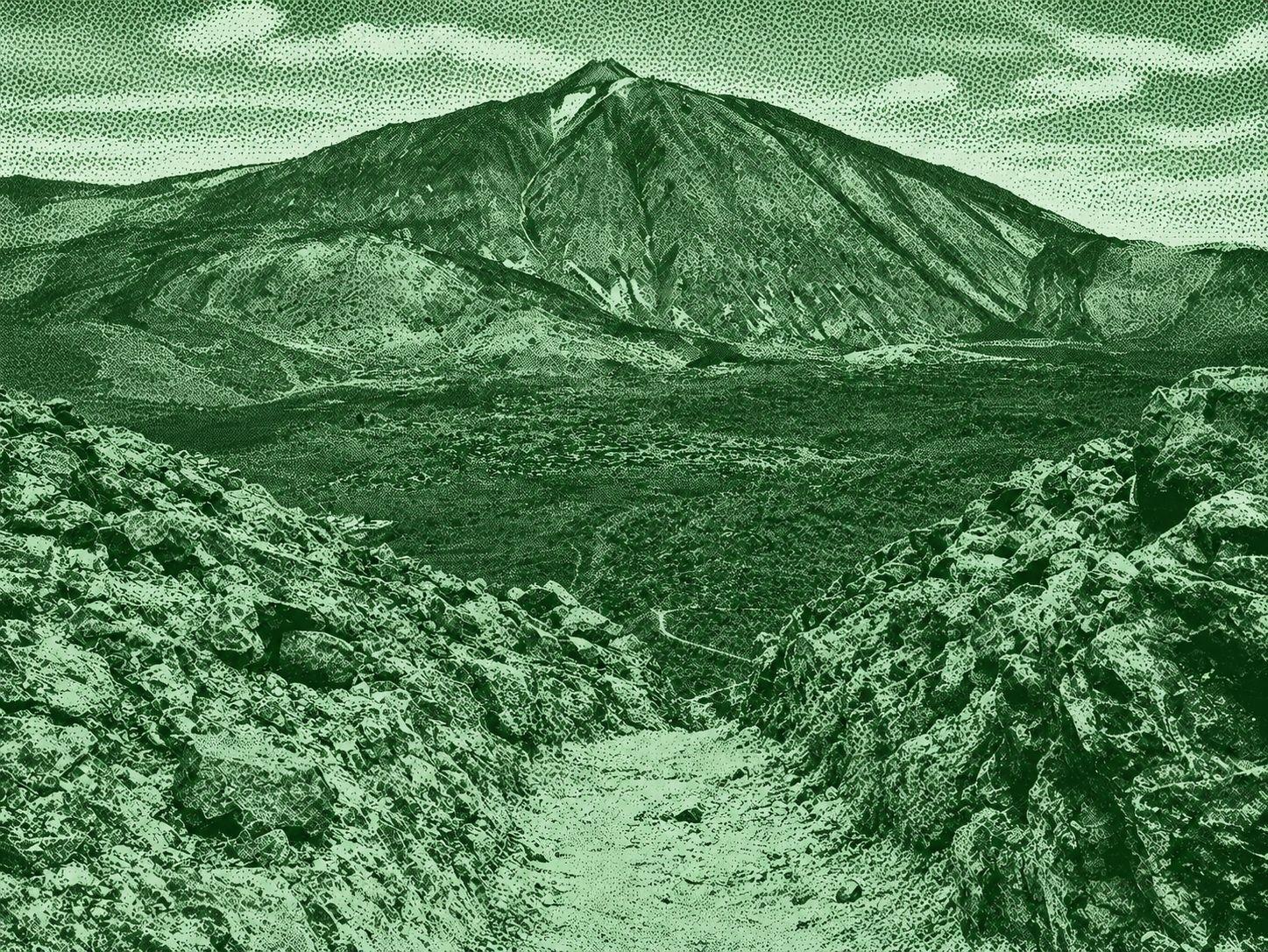
Mount Guajara is a high-altitude volcanic trail in Teide National Park, reaching 2,715 meters. The route climbs from Degollada de Guajara through rugged volcanic terrain to the summit, where hikers can see Mount Teide, Pico Viejo, Montaña Blanca, and the vast Las Cañadas caldera. The official Alto de Guajara trail is about 2 km one way, takes around 1 hour 30 minutes, and has a 325-meter elevation gain. The route is classified as high difficulty by Teide National Park.

Sarria - Portomarín
Sarria–Portomarín is a scenic stage of the Camino Francés through the rural landscapes of Galicia. The route passes through oak and chestnut forests, green meadows, small villages, historic churches, and traditional stone paths. After leaving Sarria via the Ponte da Áspera, the trail continues through Barbadelo and Paradela before descending toward the Miño River and entering Portomarín. The route is approximately 22–25 km long and takes around 5 hours, depending on the exact route and starting point.
Las Carboneras - Chinamada - Aguaide Viewpoint Viewpoint
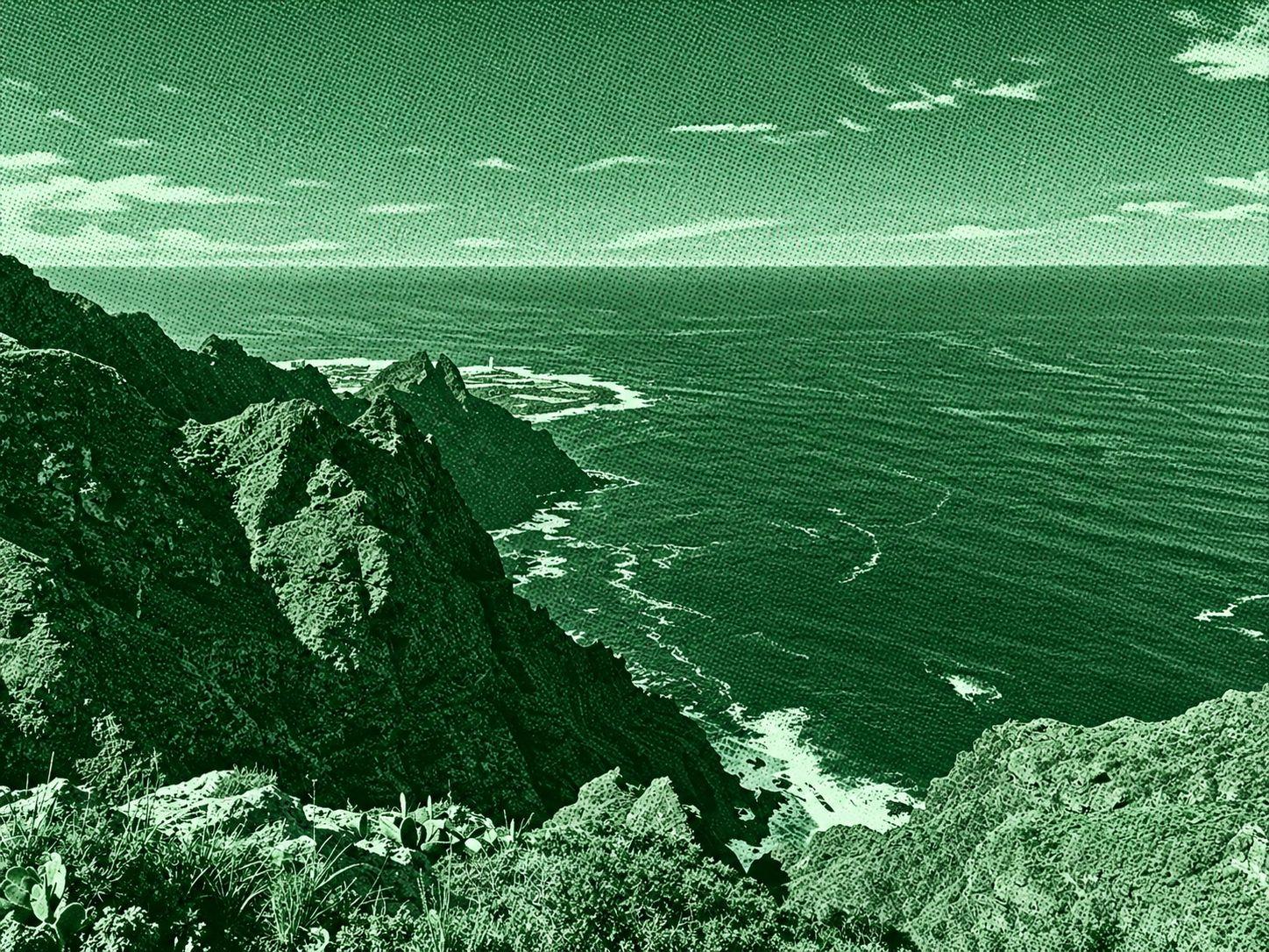
Las Carboneras–Chinamada–Mirador Aguaide is a scenic trail through the rugged Anaga Rural Park. The route passes through lush laurel forest, agricultural terraces, and the traditional cave-house village of Chinamada before reaching Mirador Aguaide. From the viewpoint, hikers can enjoy dramatic views of the steep Anaga cliffs, Punta del Hidalgo, Roque de Dos Hermanos, and the Atlantic Ocean. The route is around 5.7 km round trip with approximately 340 m of elevation gain.
Sóller - Binibassí - Fortnalux - Biniaraix
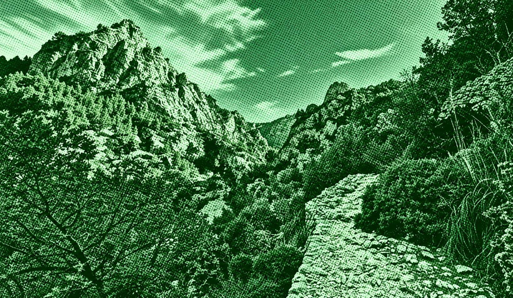
This scenic circular route explores the Sóller Valley, connecting Sóller with the hamlets of Binibassí and Biniaraix and the mountain village of Fornalutx. The trail passes through orange and olive groves, traditional stone-paved paths, dry-stone terraces, and Mediterranean vegetation, with impressive views of the Serra de Tramuntana. The route takes around three hours and can be extended into a full-day excursion to enjoy the villages and landscapes along the way.