Arzúa
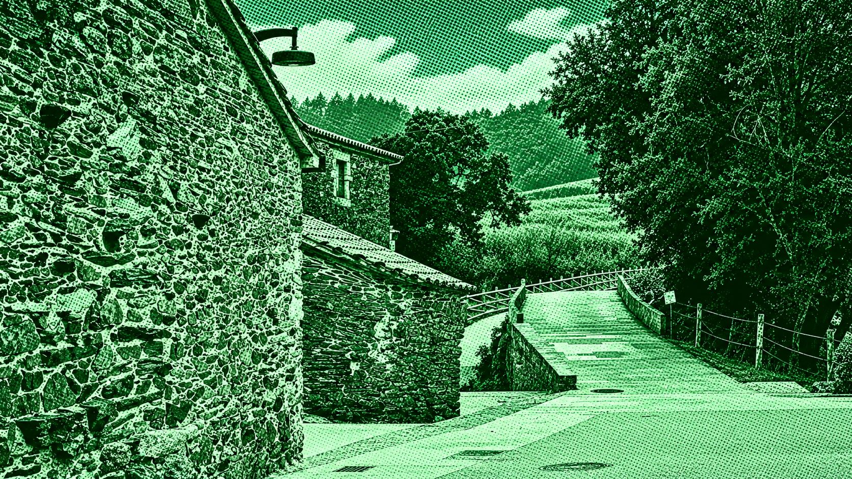
Arzúa–Arca is a scenic stage of the Camino Francés through the green countryside of Galicia. The route passes through oak and eucalyptus forests, meadows, rural hamlets, dirt tracks, and traditional stone paths. Notable points along the way include Salceda, Santa Irene, A Rúa, and the forested approaches to Arca, also known as O Pedrouzo. The stage is approximately 18–19 km long and features gentle climbs and descents before reaching the final overnight stop at O Pedrouzo, ahead of the journey to Santiago de Compostela.
Find this route and more in the WayMe app.
Scan with your phone to download WayMe.


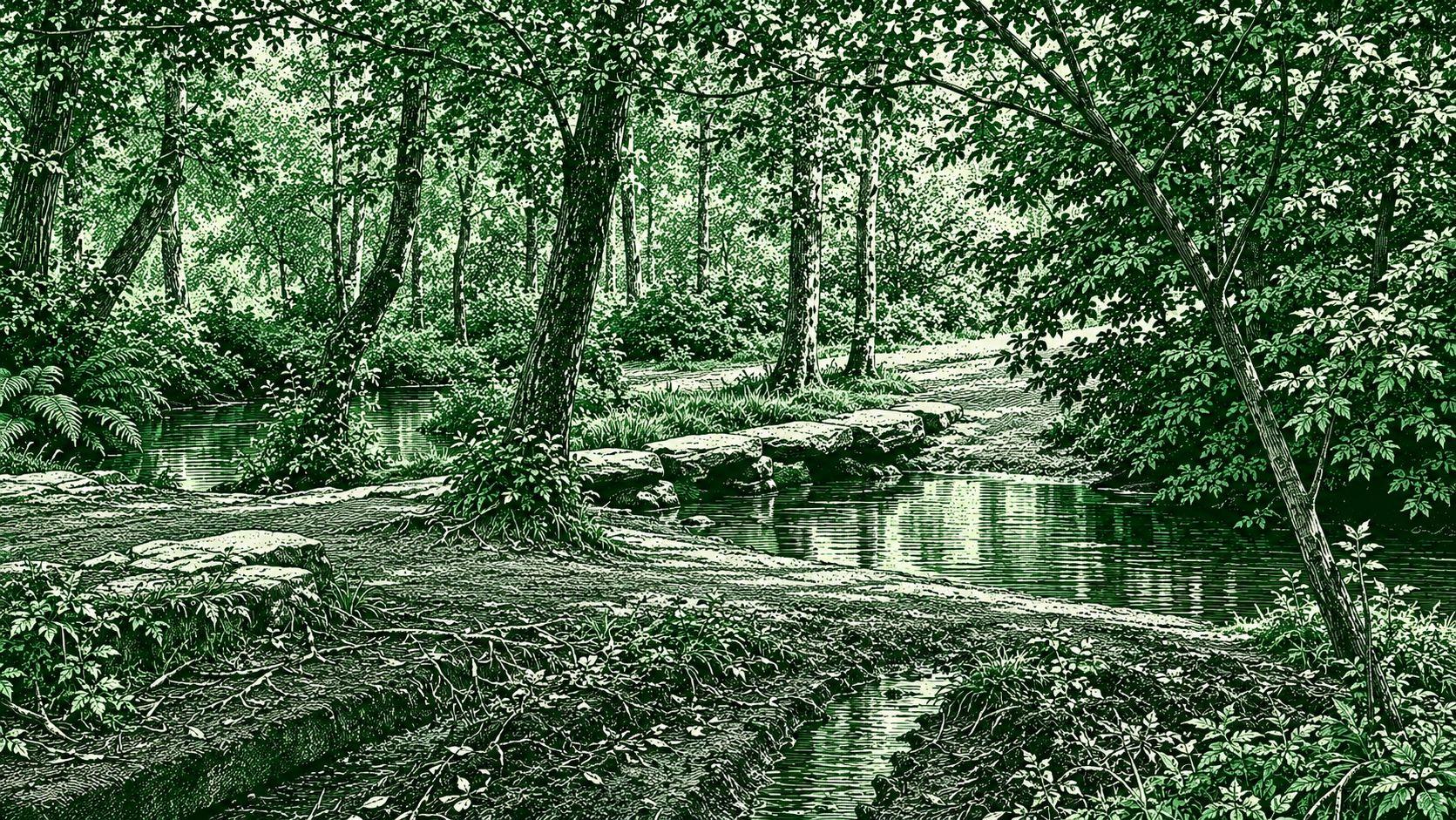
Melide – Arzúa is a scenic stage of the Camino Francés through the green countryside of Galicia. The route leaves Melide through oak and eucalyptus woodland, then continues along dirt and stone paths, quiet rural roads, and gently rolling terrain. It passes through Boente and Castañeda before descending toward the River Iso and the historic area of Ribadiso. The final section follows the river toward Arzúa, known for its traditional cheese. The official route is approximately 14.5 km and takes about 3 hours 40 minutes.
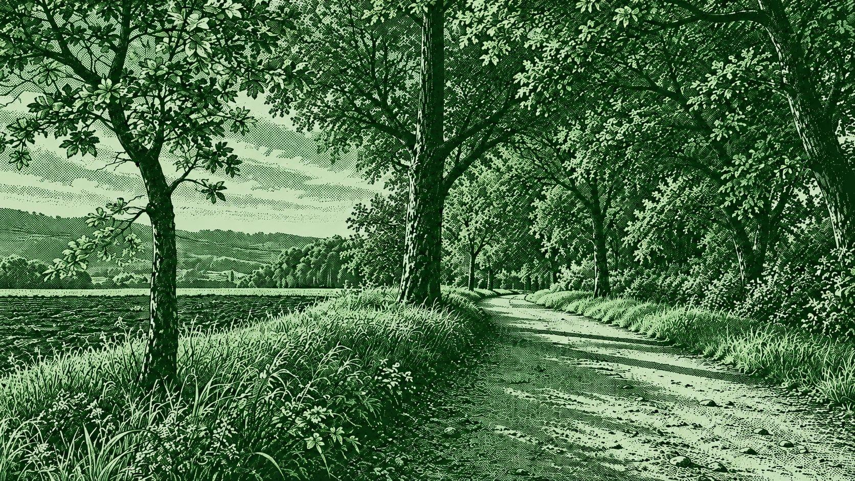
Arca – Santiago de Compostela is the final stage of the Camino Francés, beginning in Arca (O Pedrouzo) and continuing toward Santiago de Compostela. The route passes through eucalyptus and oak forests, rural paths, small villages, and the area around Lavacolla before reaching Monte do Gozo, where the first views of Santiago Cathedral can be seen. From there, the trail descends into the city through San Lázaro and the historic streets leading to the cathedral. The route is approximately 18–20 km and takes around 4–5 hours.
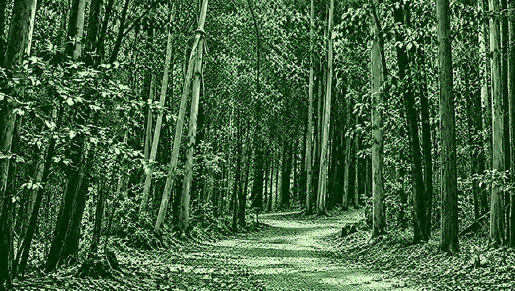
Amenal–Santiago de Compostela is the final stretch of the Camino Francés before reaching Santiago. The route leaves Amenal and passes through rural paths, eucalyptus and woodland sections, small villages, and Lavacolla before continuing toward Monte do Gozo. From Monte do Gozo, pilgrims descend gradually into Santiago de Compostela and continue through the city toward the historic center and Cathedral. The route is approximately 16–17 km, with moderate elevation changes, and provides a transition from Galicia’s countryside into the urban landscape of Santiago.

 Open in Google Maps