Afur
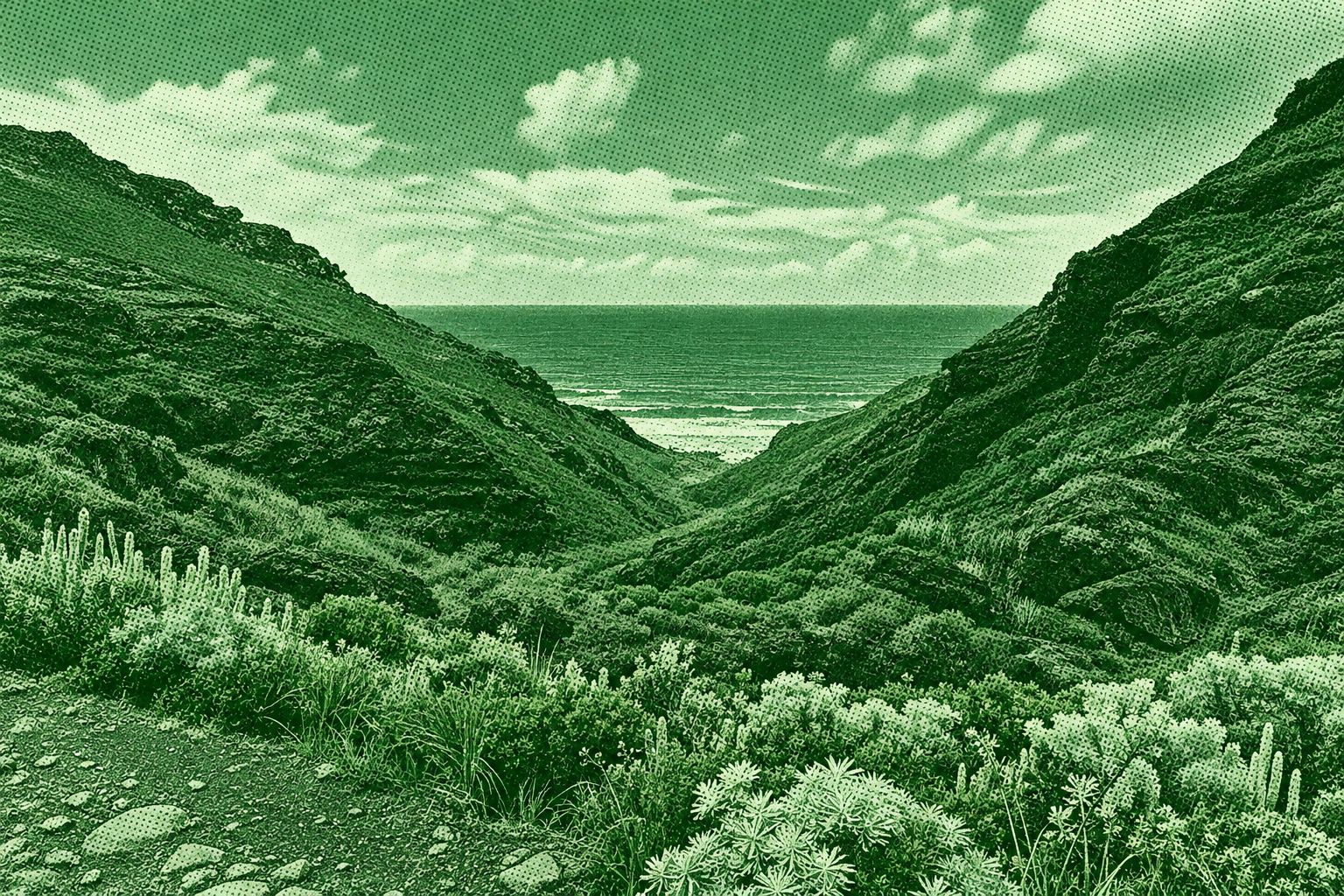
This spectacular route in Anaga Rural Park begins in the small village of Afur and descends through the dramatic Barranco de Afur toward Tamadite Beach. The trail follows a stream through rugged volcanic terrain, with lush vegetation, palm trees, rocky cliffs, and occasional pools along the gorge. Near the coast, the route reaches the secluded black-rock shoreline of Tamadite before climbing along steep coastal terrain toward the hamlet of El Chorro. The route offers impressive views of the Atlantic and the rugged Anaga landscape. The broader PR-TF 8 route is approximately 14.3 km and includes about 1,546 m of cumulative ascent and descent.
Find this route and more in the WayMe app.
Scan with your phone to download WayMe.



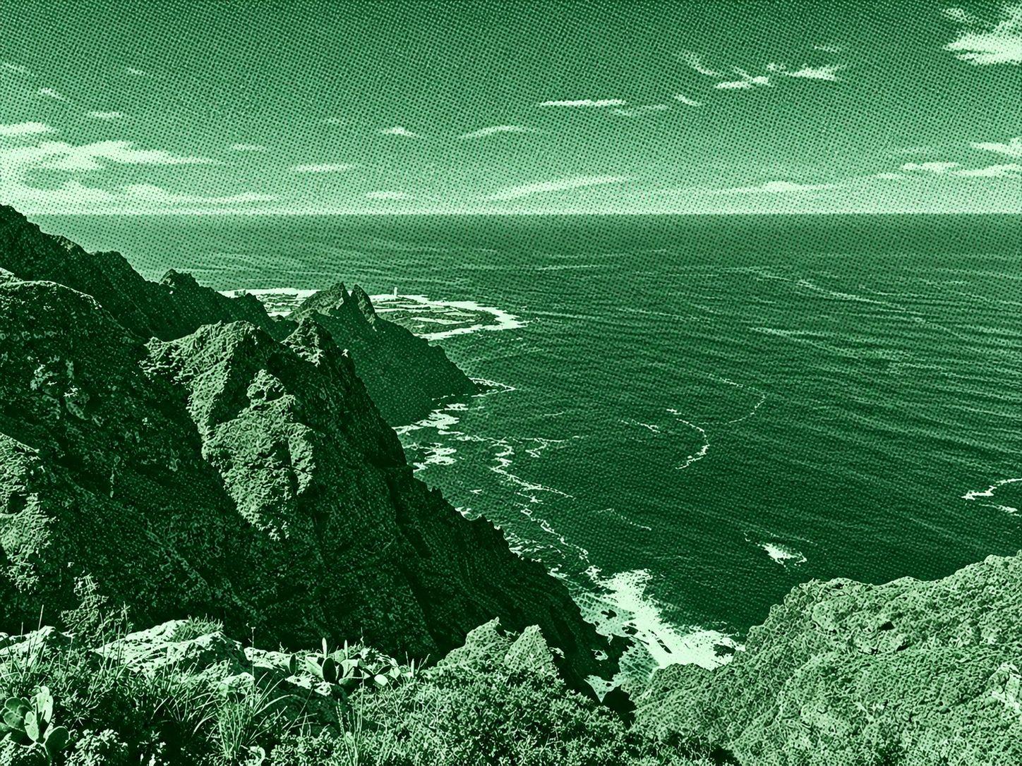
Taborno Rock–La Fajana Ravine Viewpoint is a scenic circular trail in Anaga Rural Park, Tenerife. The route winds around the striking Roque de Taborno, a distinctive volcanic rock formation surrounded by steep green mountains and the Atlantic Ocean. Along the trail, hikers pass rocky paths, native vegetation, and viewpoints overlooking La Fajana ravine and the rugged Anaga coastline. The circular route is about 3.9 km long with roughly 216 m of elevation gain. Some sections are narrow and exposed, particularly around the rock.
Las Carboneras–Chinamada–Mirador Aguaide is a scenic trail through the rugged Anaga Rural Park. The route passes through lush laurel forest, agricultural terraces, and the traditional cave-house village of Chinamada before reaching Mirador Aguaide. From the viewpoint, hikers can enjoy dramatic views of the steep Anaga cliffs, Punta del Hidalgo, Roque de Dos Hermanos, and the Atlantic Ocean. The route is around 5.7 km round trip with approximately 340 m of elevation gain.
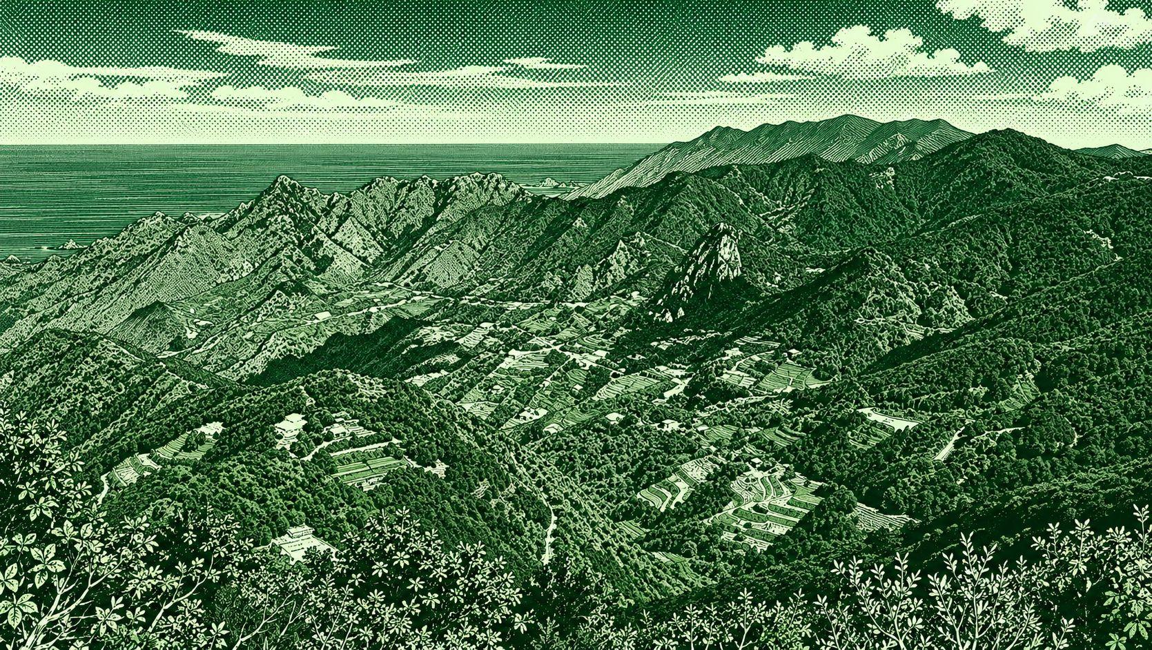
This scenic circular route crosses the rugged landscape of Anaga Rural Park, linking the Pico del Inglés viewpoint with Gollada La Cancela and Gollada La Fortaleza. The trail passes through dense laurel forest, rocky mountain paths, and open viewpoints overlooking the valleys and surrounding peaks of northeastern Tenerife. Pico del Inglés provides broad views across Anaga and toward Mount Teide on clear days. A commonly mapped version is approximately 6.9 km with 442 m of elevation gain and takes around 2 hours 45 minutes

 Open in Google Maps