El Golfo - Playa del Paso - Montaña Quemada
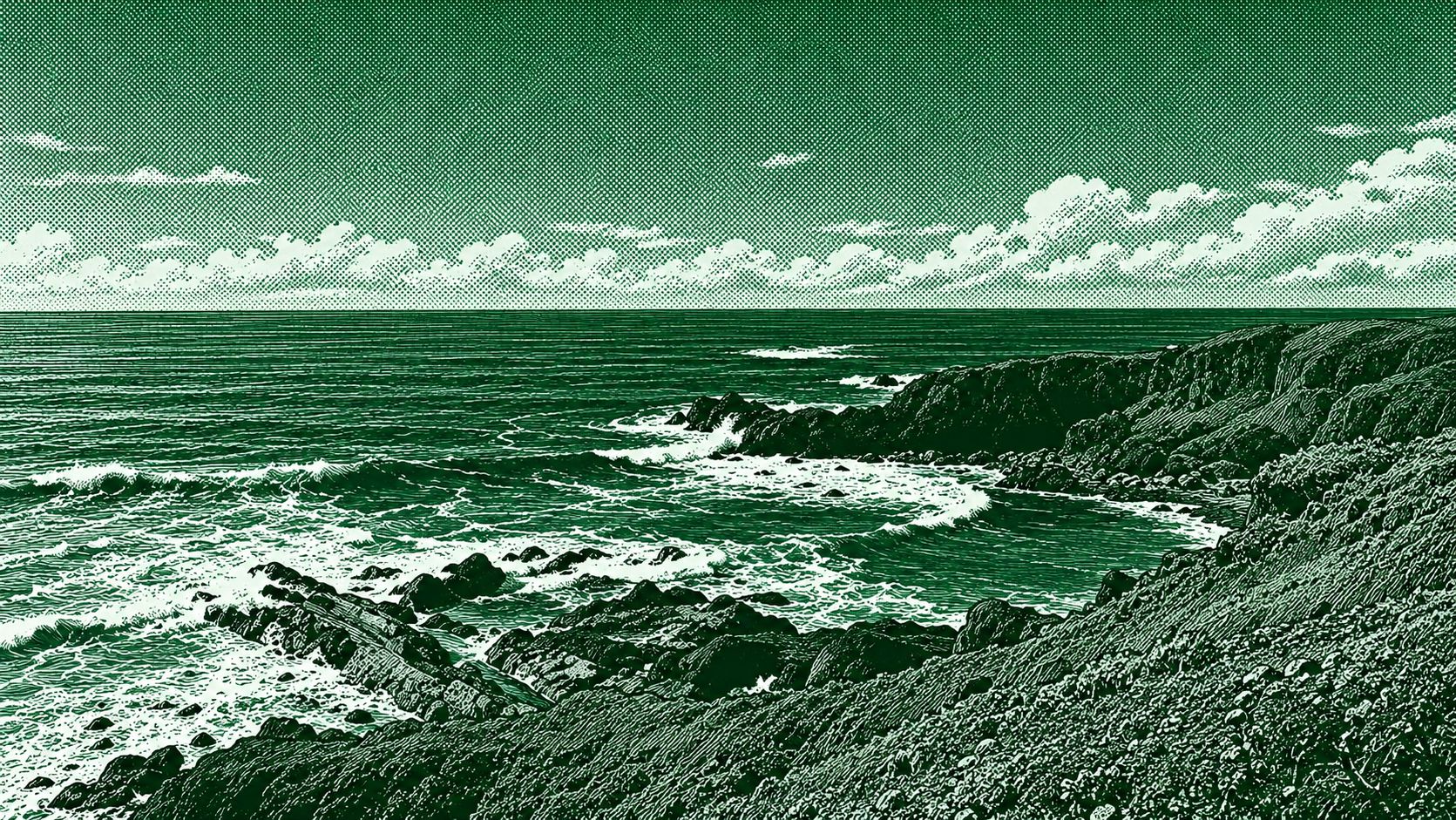
This scenic circular route explores the volcanic coastline around El Golfo in southwest Lanzarote. The trail follows rugged lava terrain along the coast toward Playa del Paso, a striking black-sand beach, before continuing through the volcanic landscape around Montaña Quemada. Along the way, hikers encounter dramatic lava formations, dark volcanic slopes, ocean cliffs, and wide Atlantic views. The route is approximately 7.35 km with around 125 m of elevation gain and is generally classified as moderate.
Find this route and more in the WayMe app.
Scan with your phone to download WayMe.


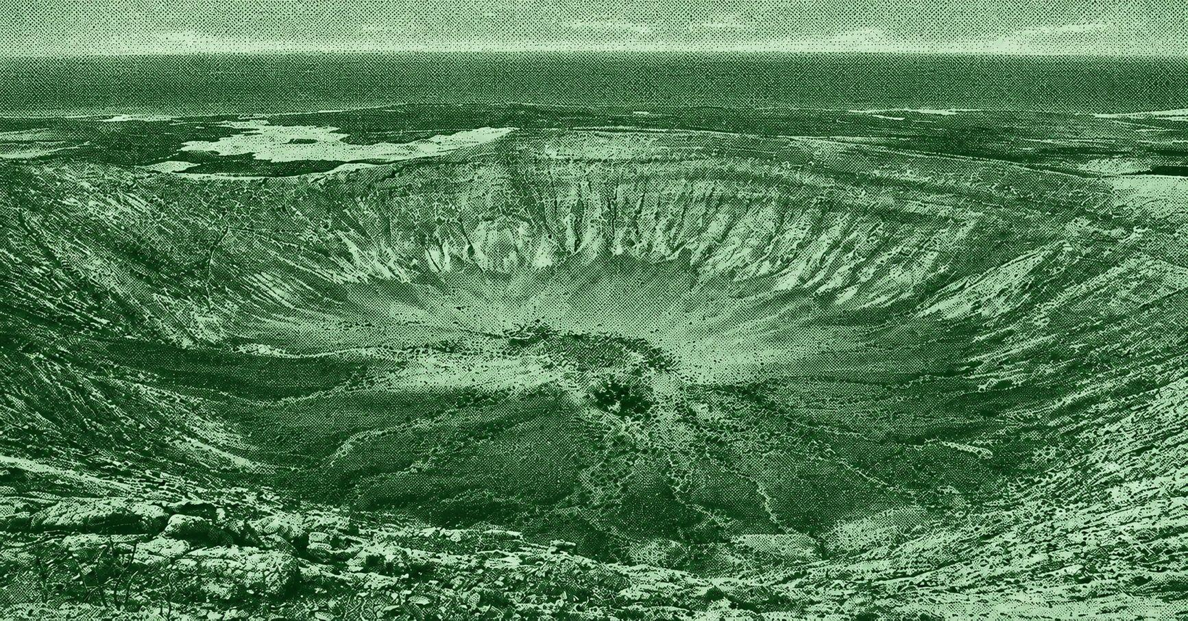
Caldera Blanca Volcano is a spectacular circular hiking route through the volcanic landscape of Lanzarote. The trail crosses vast black lava fields from the historic Timanfaya eruptions before ascending toward the rim of Caldera Blanca, a huge volcanic crater more than one kilometer wide. From the rim, hikers can enjoy panoramic views across the surrounding lava fields and volcanic cones. The official Tinajo route is approximately 10 km long, takes around 4½ hours, and is rated moderate.
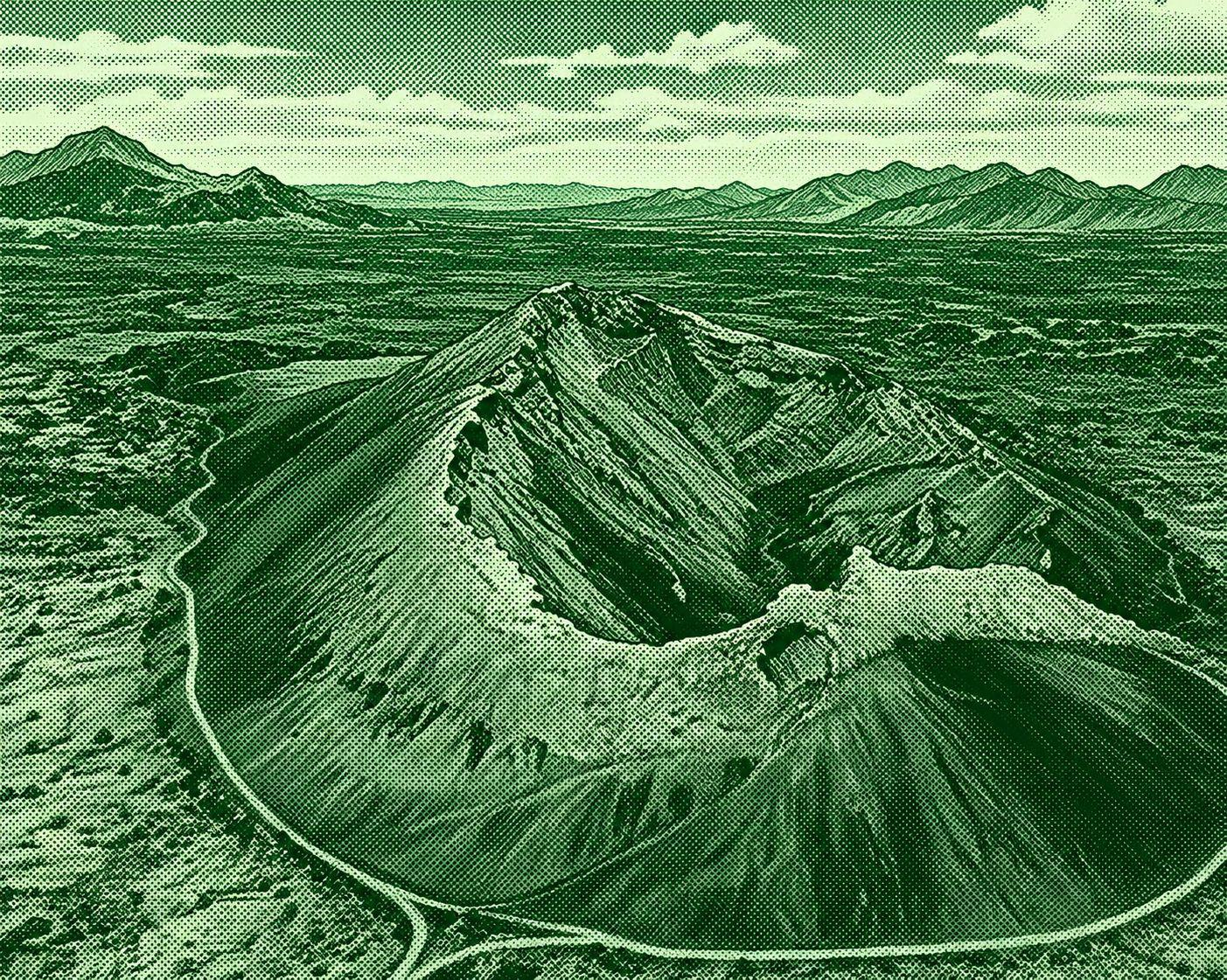
Caldera de los Cuervos is a scenic volcanic trail in the Los Volcanes Natural Park of Lanzarote. The route crosses a stark landscape of black lava fields, lapilli, and volcanic formations before reaching the Caldera de los Cuervos, one of the first volcanic cones formed during the major Timanfaya eruptions of 1730–1736. A marked path circles the crater and allows hikers to enter its interior through an opening on the northern side. The official loop is approximately 4 km, takes about 1 hour, and is rated low difficulty.

 Open in Google Maps