Vilaflor de Chasna, Santa Cruz de Tenerife
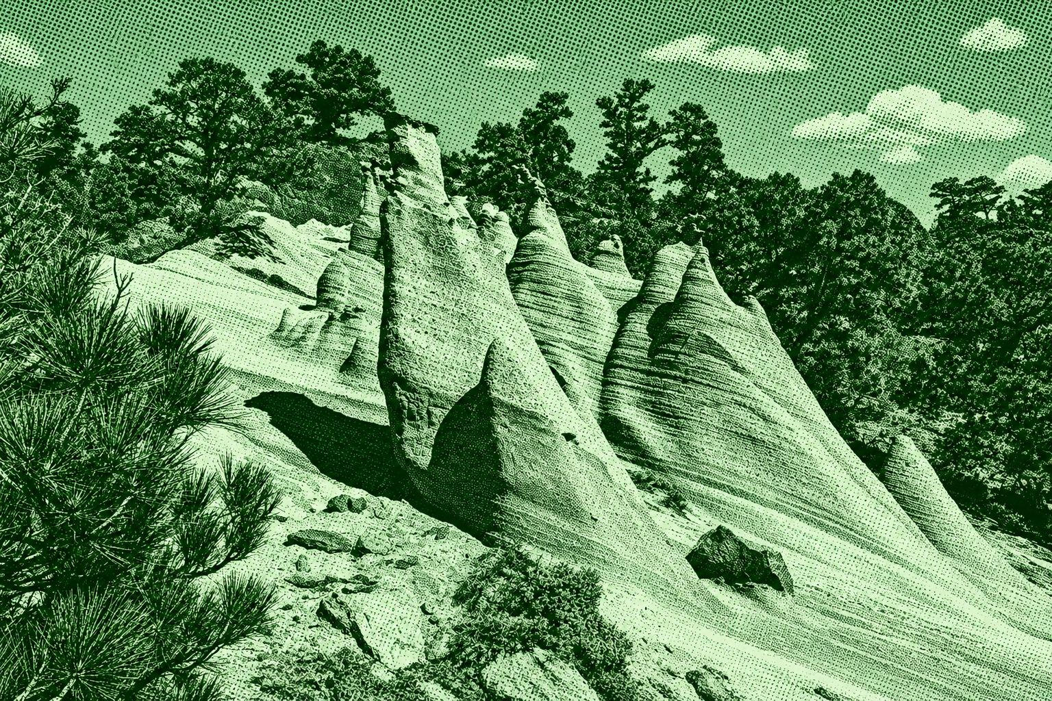
Paisaje Lunar, or Lunar Landscape, is a spectacular volcanic hiking route in the Corona Forestal Natural Park near Vilaflor de Chasna. The trail passes through Canary pine forest before reaching the striking pale rock formations of Los Escurriales, where erosion has sculpted volcanic pumice into unusual pinnacles and ridges resembling a lunar landscape. The official PR-TF 72 is a circular route of about 12.9 km, reaching nearly 1,967 m in elevation with around 778 m of ascent. The route follows sections of the historic Camino Real de Chasna
Find this route and more in the WayMe app.
Scan with your phone to download WayMe.


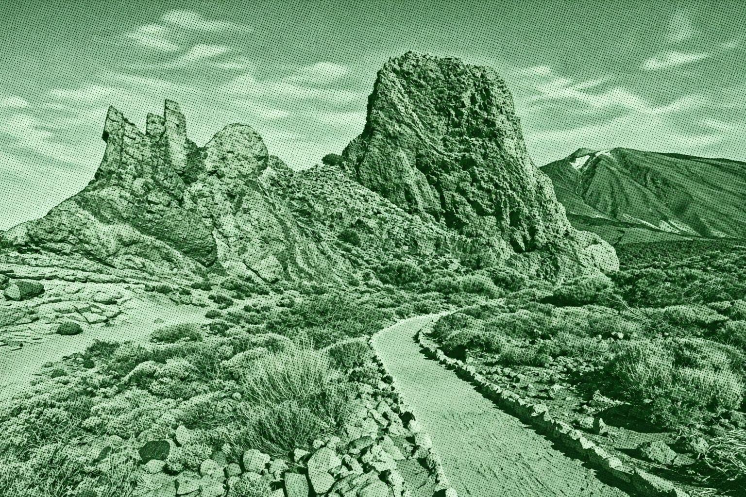
A spectacular circular trail through the volcanic landscape of Teide National Park. The route winds around the dramatic Roques de García formations, including Roque Cinchado, El Torrotito, El Burro and La Catedral. At roughly 2,000–2,200 m elevation, it offers striking views of Mount Teide, the Llano de Ucanca and surrounding lava formations. The official PNT-03 route is about 3.6 km and takes around 2 hours.
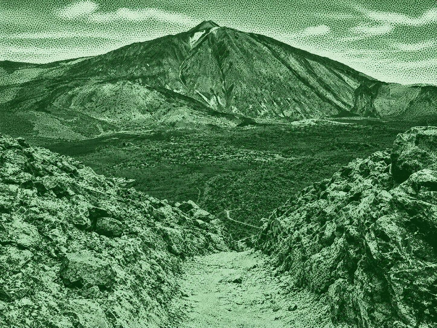
Mount Guajara is a high-altitude volcanic trail in Teide National Park, reaching 2,715 meters. The route climbs from Degollada de Guajara through rugged volcanic terrain to the summit, where hikers can see Mount Teide, Pico Viejo, Montaña Blanca, and the vast Las Cañadas caldera. The official Alto de Guajara trail is about 2 km one way, takes around 1 hour 30 minutes, and has a 325-meter elevation gain. The route is classified as high difficulty by Teide National Park.
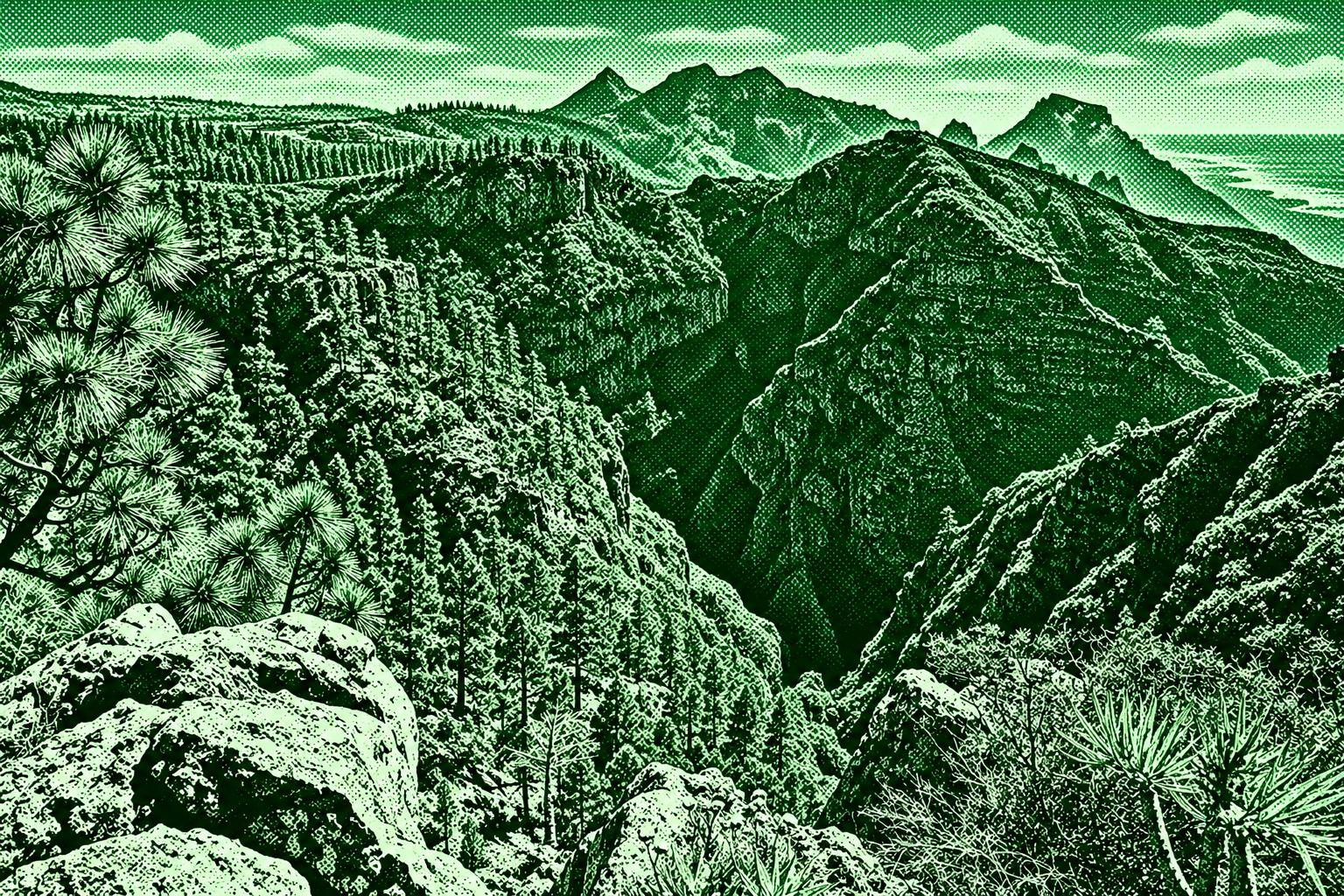
A scenic circular route beginning in the historic village of La Quinta near Taucho and following the Camino de Los Picos toward Boca del Paso. The trail passes old agricultural terraces, traditional farm ruins, and dry volcanic landscapes before reaching the Boca del Paso viewpoint, where there are sweeping views over Adeje, the southern Tenerife coastline, and La Gomera. The route continues through pine-covered slopes and along an old water channel before returning toward La Quinta. The commonly documented circular route is about 5–6.6 km, with moderate elevation changes.

 Open in Google Maps