Poncebos, Asturias
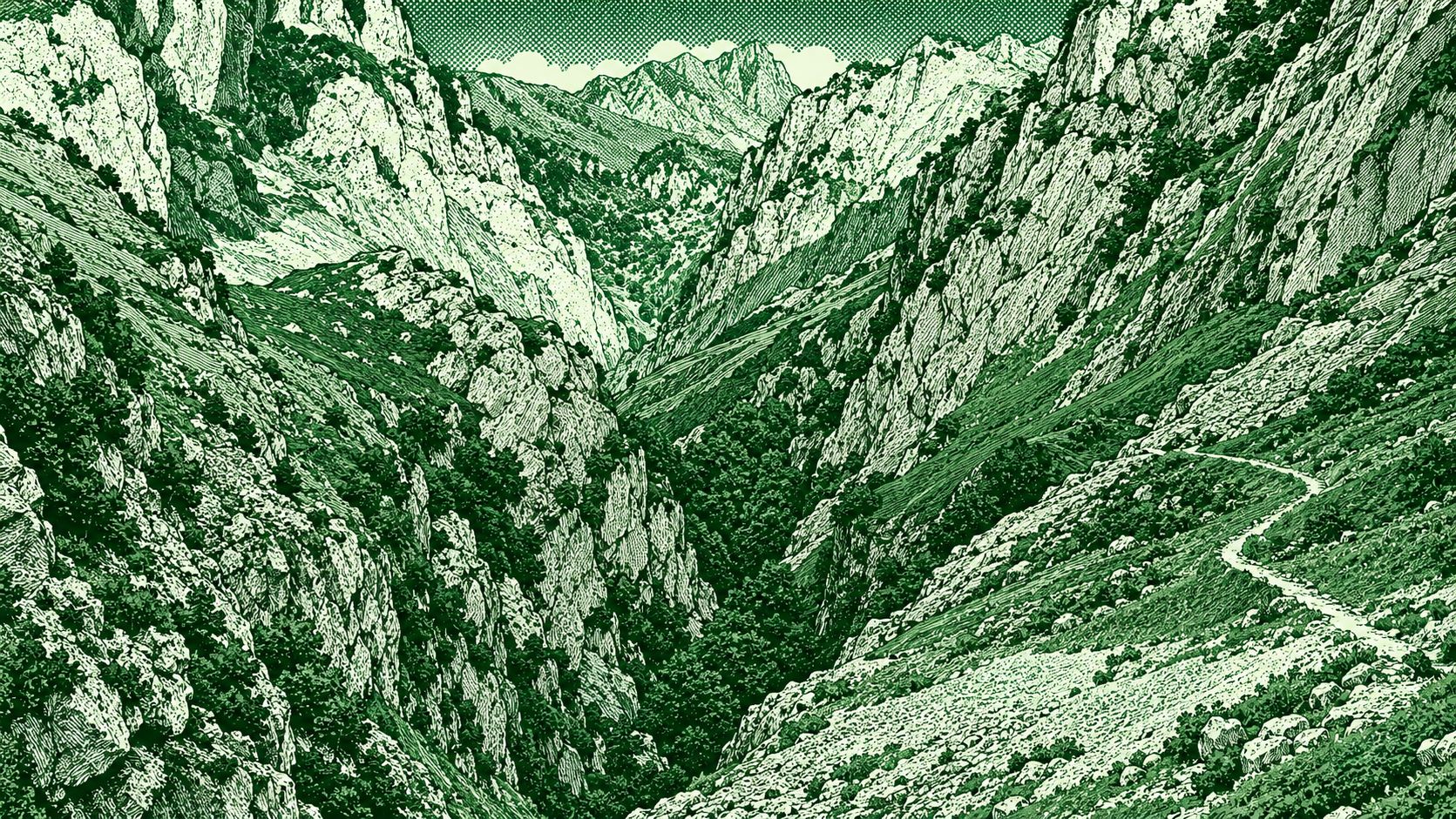
Canal del Texu Trail is a spectacular mountain route through the Picos de Europa National Park, following the historic path between Poncebos and the isolated village of Bulnes. The trail enters a narrow limestone gorge with towering rock walls before climbing through rugged terrain toward Bulnes. Along the way are rocky paths, small bridges, steep mountain slopes, and views of the surrounding Picos de Europa. The official route from Poncebos is about 7.4 km round trip with approximately 537 m of elevation gain and takes around 3–5 hours.
Find this route and more in the WayMe app.
Scan with your phone to download WayMe.


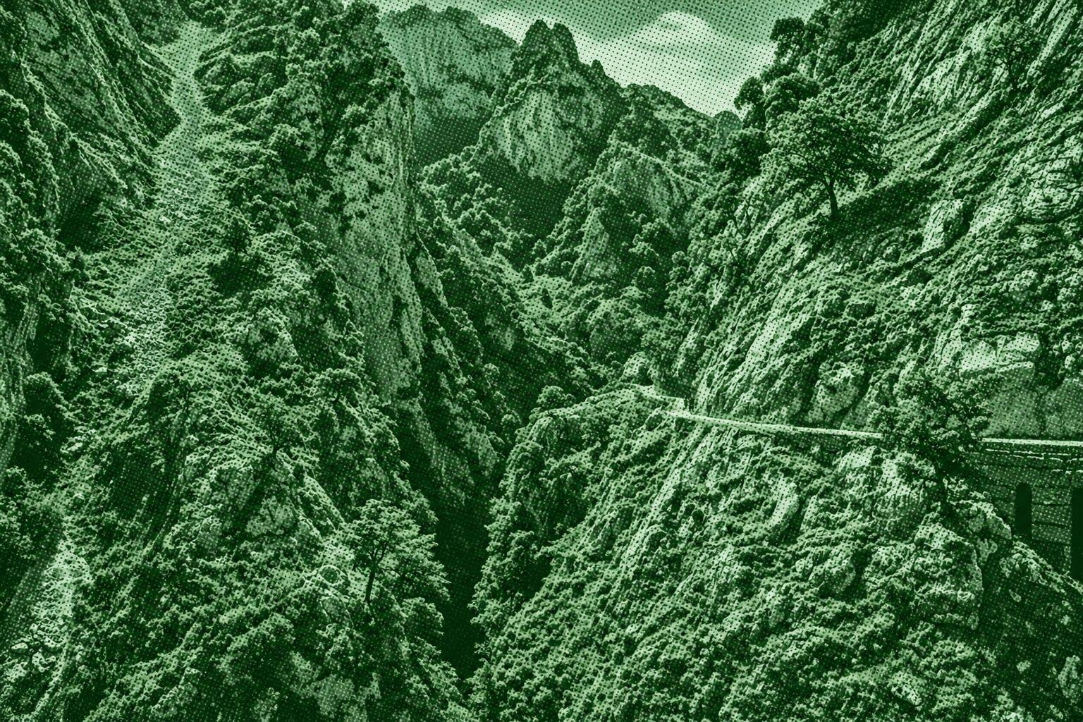
A spectacular mountain route through the Cares Gorge in Picos de Europa National Park. The trail follows the Cares River between Poncebos in Asturias and Caín in León, passing narrow paths carved into dramatic limestone cliffs, tunnels, bridges, and steep canyon walls. It is known for its impressive views of the surrounding mountains and deep gorge. The route is approximately 12 km one way between Poncebos and Caín.
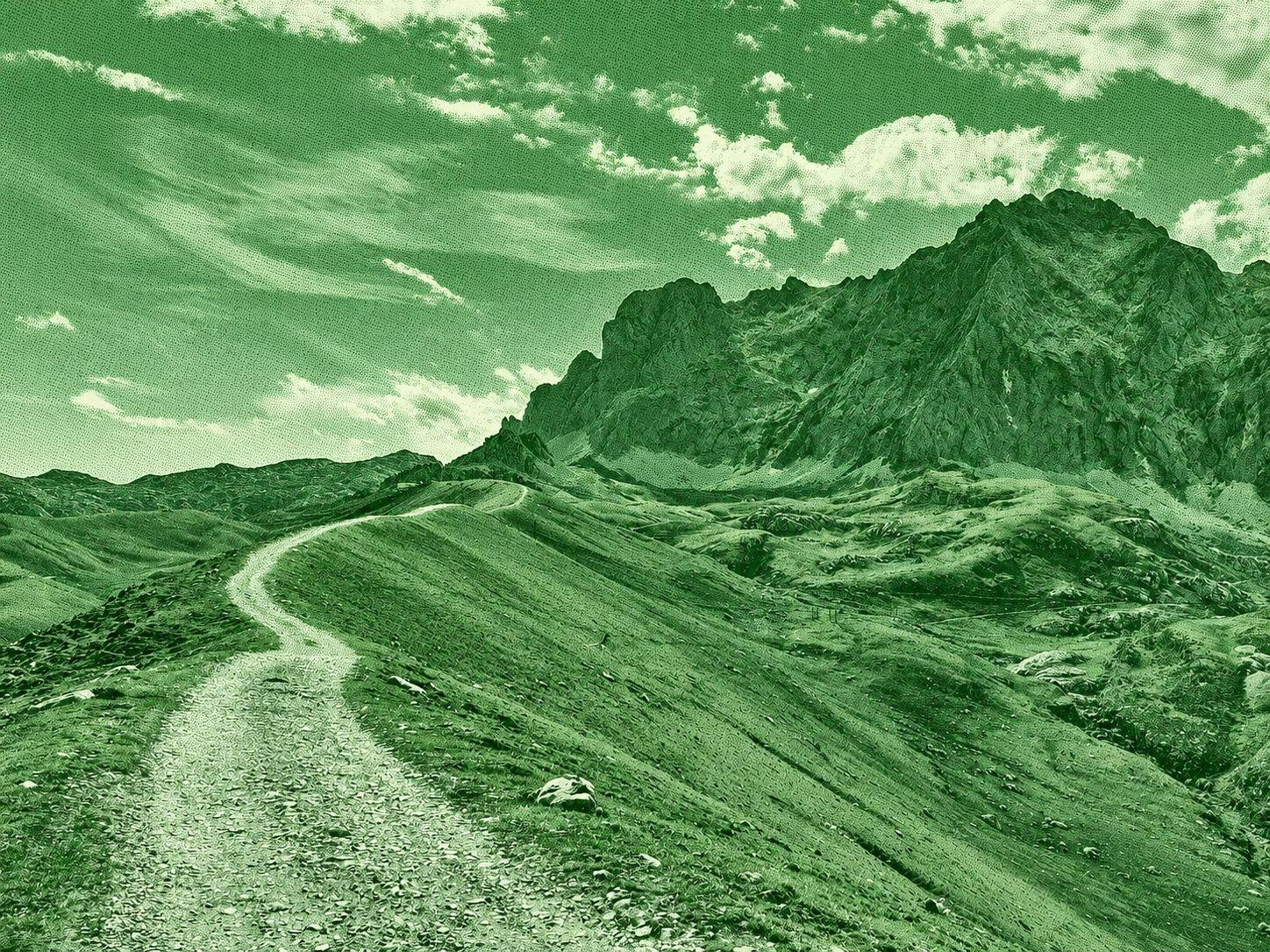
Puertos de Áliva is a spectacular high-mountain route in the Picos de Europa National Park, crossing extensive alpine meadows between the Central and Eastern Massifs. The route begins around the upper Fuente Dé cable-car station at El Cable, climbs briefly toward Horcadina de Covarrobres, and then descends through the wide pastures of Áliva. Hikers pass beneath dramatic limestone peaks, historic mountain buildings, and traditional grazing areas before continuing through the Valdecoro forests toward Fuente Dé. The official PR-PNPE 24 route is approximately 14.5 km with 974 m of descent and takes about 4 hours 15 minutes.

 Open in Google Maps