Santa Cruz de Tenerife, Santa Cruz de Tenerife
A beautiful circular route through the lush laurel forests of Anaga Rural Park, beginning at La Ensillada and passing through the Integral Natural Reserve of El Pijaral. The trail winds through dense vegetation, giant ferns, ancient trees, and dramatic volcanic formations including Roque Chinobre, Piedra de la Jurada, and Roque Anambro. At Cabezo del Tejo, the forest opens to spectacular views across the Anaga massif, with the valleys of Taganana, Benijo, and El Draguillo visible on clear days. The route is roughly 6–7.5 km depending on the variant. Prior authorization is required to enter El Pijaral.
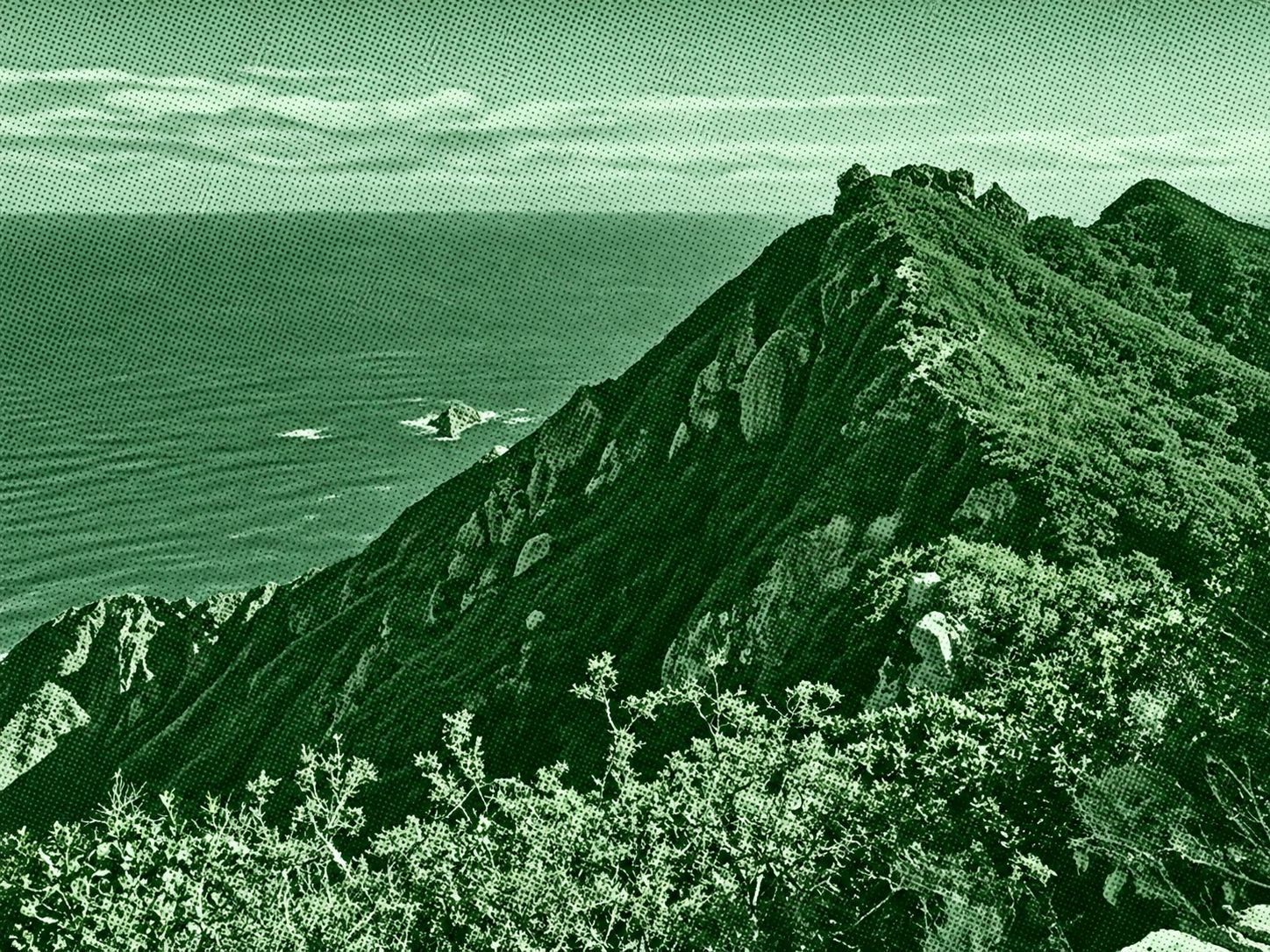
Find this route and more in the WayMe app.
Scan with your phone to download WayMe.


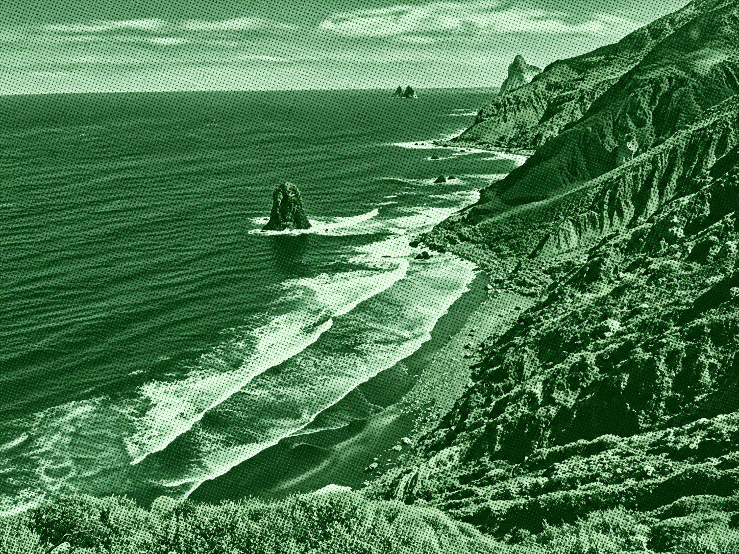
Benijo–Cruz del Draguillo is a scenic coastal and mountain trail in Anaga Rural Park. Starting near Benijo Beach, the route follows the coast toward El Draguillo before climbing through rugged terrain to Cruz del Draguillo. Along the way, hikers encounter dramatic Atlantic views, volcanic cliffs, native vegetation, and the distinctive Roques de Anaga rock formations. The route is approximately 5 km for the Benijo–Cruz del Draguillo loop, with steep sections and rocky or uneven terrain.

A spectacular coastal route through the remote eastern reaches of Anaga Rural Park. Starting in the mountain hamlet of Chamorga, the trail climbs toward Tafada before descending past the isolated Faro de Anaga lighthouse to the tiny coastal settlement of Roque Bermejo. Along the way, hikers encounter rugged volcanic cliffs, traditional terraces, dry ravines, dramatic Atlantic views, and the distinctive Roque Bermejo sea stack. The circular route is roughly 8–12 km depending on the variant, with substantial elevation changes and challenging sections. The official PR-TF 6 route is rated difficult.
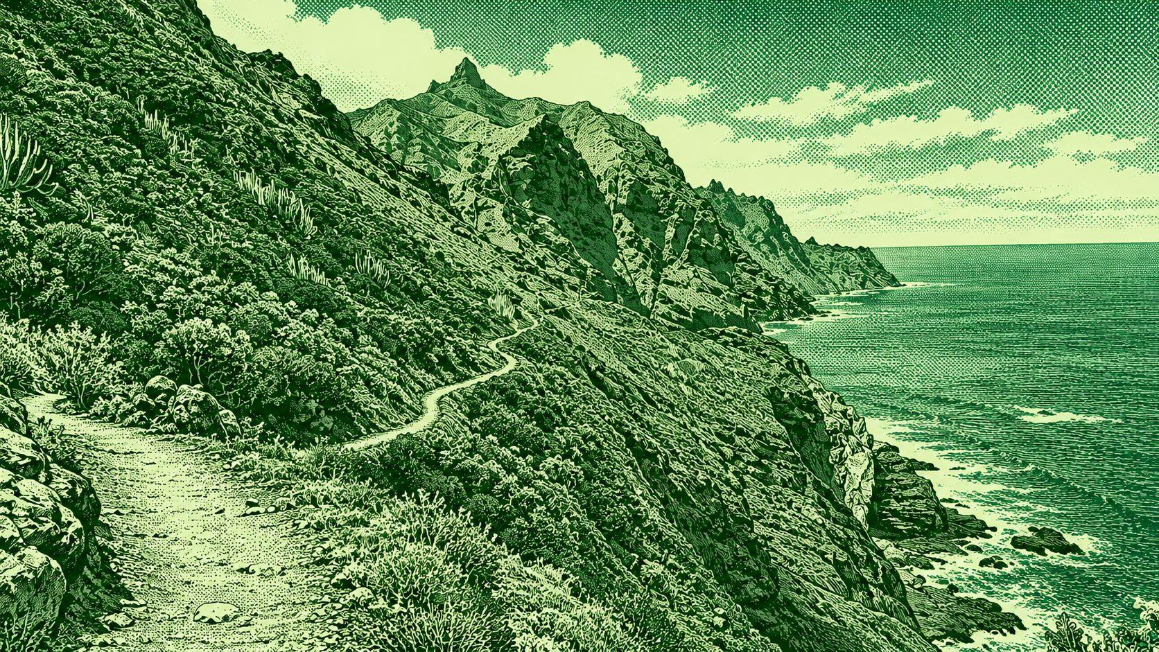
Taganana – Tamadite Beach is a scenic coastal hike through Anaga Rural Park in northeastern Tenerife. The route follows rugged mountain paths from Taganana toward the remote Playa de Tamadite, passing steep volcanic slopes, native vegetation, ravines, and dramatic Atlantic viewpoints. The trail includes a steep descent toward the beach and a climb back toward Taganana, with impressive views of the Anaga cliffs and coastline. The route is approximately 9–10 km depending on the variant and has significant elevation changes.

 Open in Google Maps