Benahavís
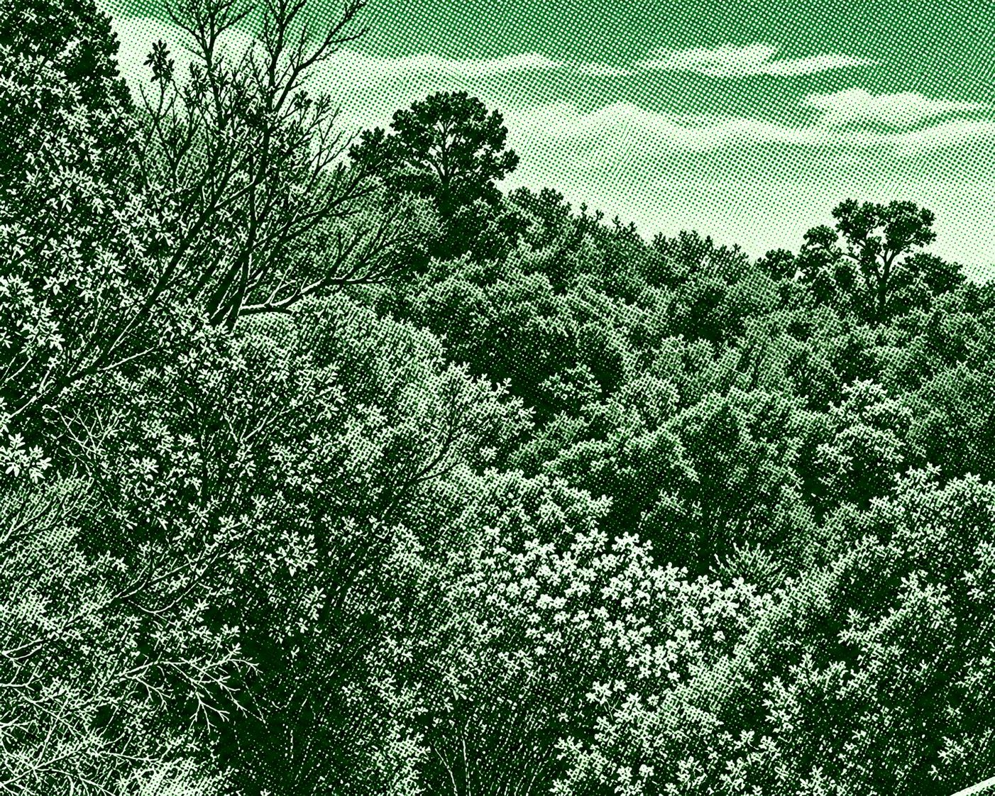
A peaceful riverside trail following the historic Acequia del Guadalmina, an irrigation channel with origins in the Andalusian period. The route winds through Mediterranean vegetation alongside the Guadalmina River, passing shaded woodland, flowing water, and the dramatic Angosturas canyon. One of its highlights is the crossing over the canyon by a suspension bridge, followed by a mostly level section beside the traditional water channel. The circular route is about 4.6 km long with roughly 109 m of elevation gain, making it a relatively short and accessible walk through one of Benahavís’s most attractive natural areas.
Find this route and more in the WayMe app.
Scan with your phone to download WayMe.


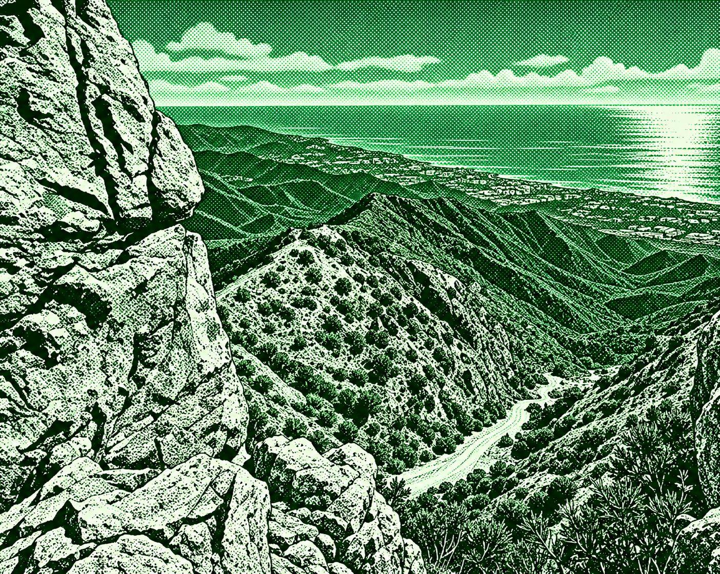
A demanding mountain route from the Refugio de Juanar to the summit of La Concha, one of the most iconic peaks of the Costa del Sol. The trail begins through olive groves and pine forest before climbing toward Puerto de las Allanás and the rugged Sierra Blanca ridge. Along the way, it passes the Salto del Lobo and the slopes of Cerro Lastonar before reaching the final rocky ridge to La Concha. From the 1,215 m summit, the route offers spectacular views over Marbella, the Mediterranean coast, and the Embalse de La Concepción. The official PR-A 168 route is about 7 km one way.
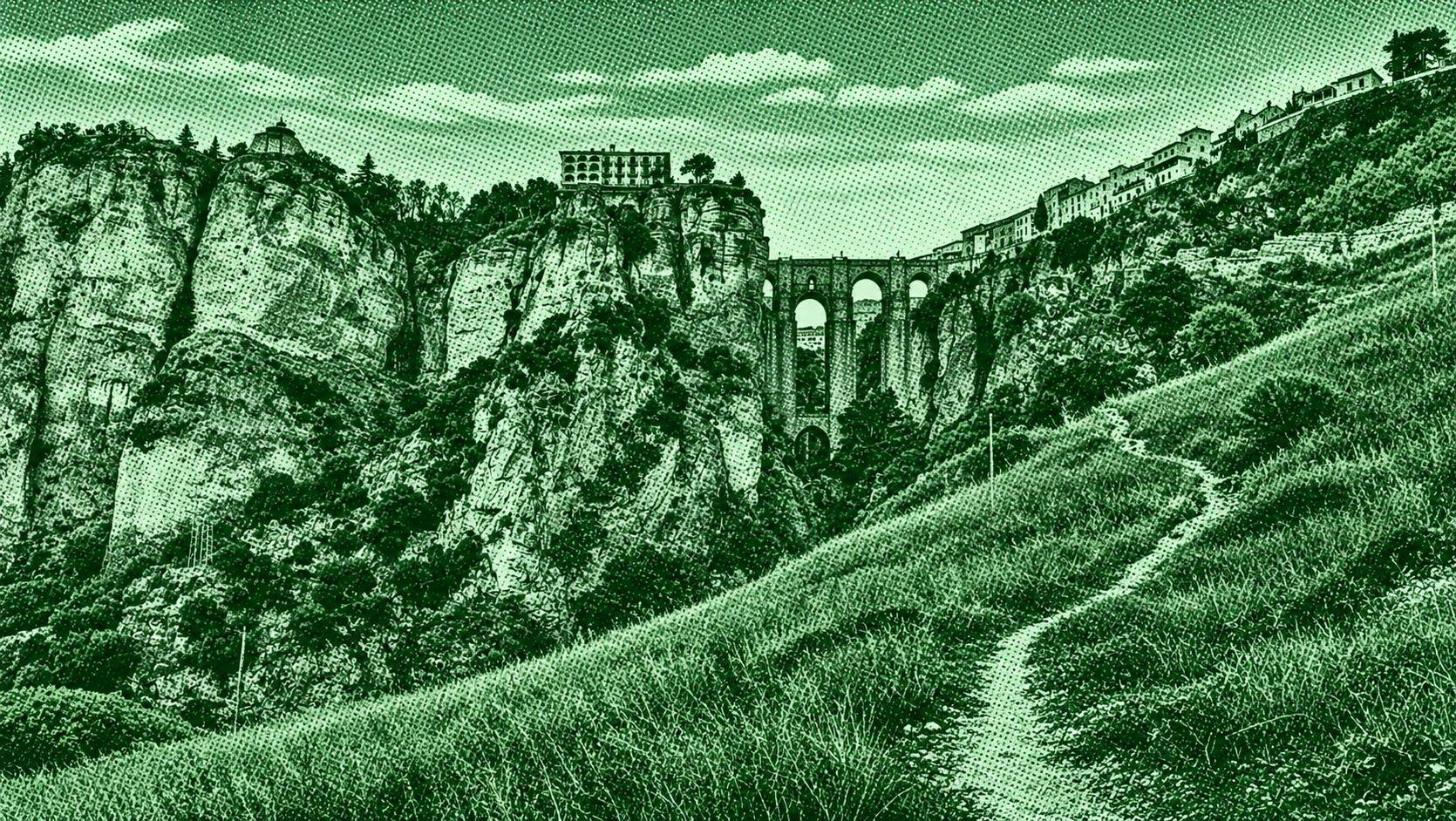
The Mills of the Tagus trail descends from the historic center of Ronda into the dramatic Tajo Gorge, following paths toward the old mills beside the Guadalevín River. The route provides striking views of the Puente Nuevo from below and passes rugged limestone cliffs, old walls, cultivated land, and riverside scenery. Several versions exist, with mapped routes around 7.6 km or 7.5 km and moderate elevation gain. The trail combines Ronda’s historic landscape with the natural scenery of the deep gorge.

El Caminito del Rey is a spectacular linear trail through the Desfiladero de los Gaitanes in Málaga. The route follows cliffside walkways and mountain paths high above the Guadalhorce River, passing through dramatic gorges, canyons, tunnels, and steep limestone walls. The official route runs from Ardales to Álora and is about 8 km long, taking approximately 3–4 hours. The trail was originally built in the early 20th century to connect hydroelectric installations and was later restored for public access.

 Open in Google Maps