Santiago del Teide, Santa Cruz de Tenerife
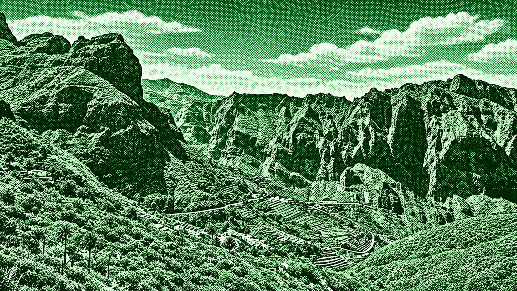
A spectacular mountain route through the Teno Rural Park linking the Mirador de Cruz de Hilda with the dramatic Risco Verde. The trail crosses rugged volcanic terrain and climbs through the Cumbre de Bolico, with sweeping views over the Masca Valley, terraced hillsides, deep ravines, and the Atlantic Ocean. Risco Verde provides one of the route's most impressive viewpoints before the trail continues toward Cruz de Hilda, overlooking the spectacular cliffs and valleys of western Tenerife. The route is moderately challenging, with rocky and sometimes steep sections.
Find this route and more in the WayMe app.
Scan with your phone to download WayMe.


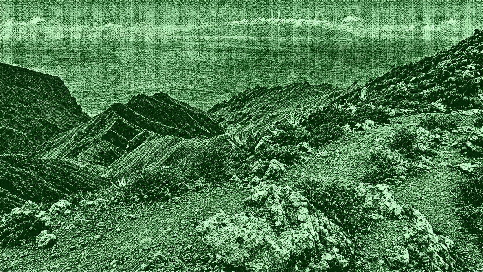
This circular route through Teno Rural Park combines the historic Callejón de Teno with the rugged Cumbres de Baracán. Starting around El Palmar, the trail climbs through the old stone-paved path toward Teno Alto before continuing along the Baracán ridges. The route offers broad views over the Valle del Palmar, Los Carrizales, the Teno mountains, Mount Teide, and, on clear days, La Gomera and La Palma. A typical version is around 9–11 km with roughly 550–600 m of elevation gain.
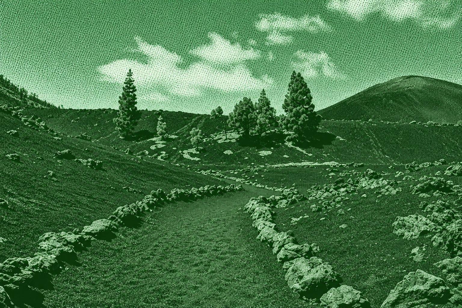
Chinyero Volcano is a scenic circular hiking route around Tenerife’s youngest volcano, which erupted in 1909. The trail crosses dramatic black lava fields, volcanic ash, pine forests, and rugged formations created by the eruption. Along the route, hikers can see the Chinyero volcanic cone and extensive solidified lava flows, with views toward Mount Teide and Pico Viejo on clear days. The route around the volcano is approximately 6–7 km, depending on the specific trail variation.
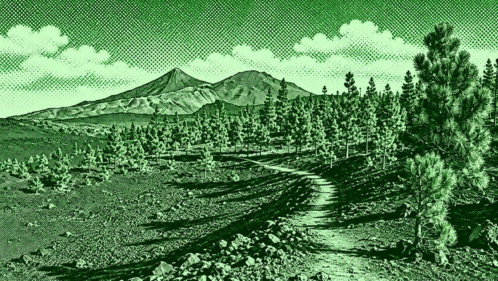
Circular Sámara is a scenic volcanic loop in Teide National Park, beginning and ending at the Mirador de Sámara. The route climbs around the Sámara volcanic cone and crosses dark fields of lapilli and scoria, with Canary Island pine forests gradually colonizing the volcanic terrain. From higher sections, hikers can enjoy wide views of surrounding volcanic cones, Mount Teide, Pico Viejo, and the Atlantic. The official route is about 5.1 km with 308 m of cumulative ascent and takes around 2 hours 45 minutes.

 Open in Google Maps