ကလော၊ ရှမ်းပြည်နယ်,Kalaw, Shan State
Set out from Kalaw toward Konbaw on a moderately challenging one-way trek across the Shan State highlands. The recorded route includes substantial climbing and several descents, requiring steady pacing and good stamina despite its moderate difficulty rating. It offers an extended walk through elevated countryside, but the original listing does not identify specific villages, landmarks, or viewpoints along the track. Wear sturdy hiking shoes, carry enough drinking water and food, and download offline maps. Plan onward transport or accommodation at the finish, and check current access, weather, and local safety conditions before departure.

Find this route and more in the WayMe app.
Scan with your phone to download WayMe.


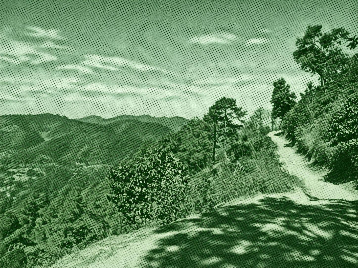
Explore the highlands around Kalaw on a moderately challenging hike named for Myin Ma Hti Cave. The recorded route features substantial climbs and descents, making it a demanding outing despite its moderate rating. Myin Ma Hti is a limestone cave known for Buddha images and natural rock formations, although the Wikiloc listing does not confirm entry into the cave. Wear sturdy shoes, carry sufficient water and food, and download offline maps. Allow ample time for the hike, respect religious sites, and verify trail access, weather, and local safety conditions before departure.
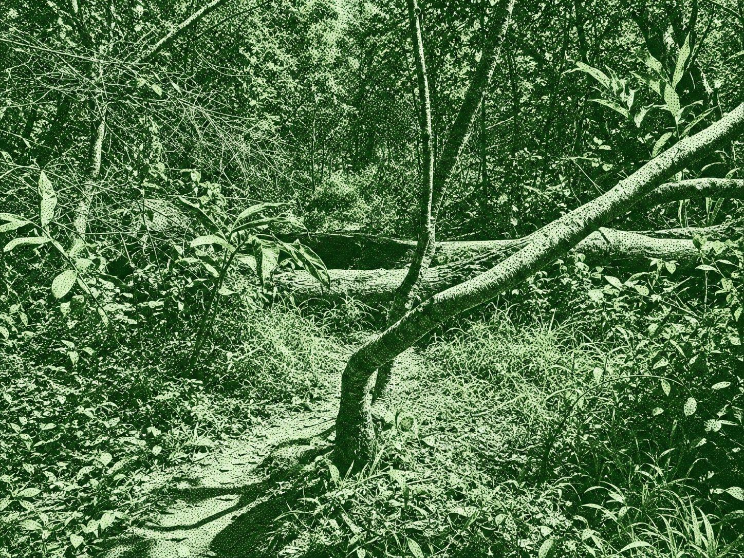
Explore a scenic loop near Kalaw through beautiful valley viewpoints, forest trails, and peaceful countryside. The route offers lovely views of the surrounding hills before passing through dense jungle toward a reservoir. Continue along rural paths bordered by rice fields and farmland, enjoying the changing landscapes along the way. Rated moderately challenging, the trail combines gentle walking sections with uneven terrain and occasional climbs. Wear comfortable hiking shoes, carry sufficient water, and bring offline navigation for a rewarding outdoor adventure.
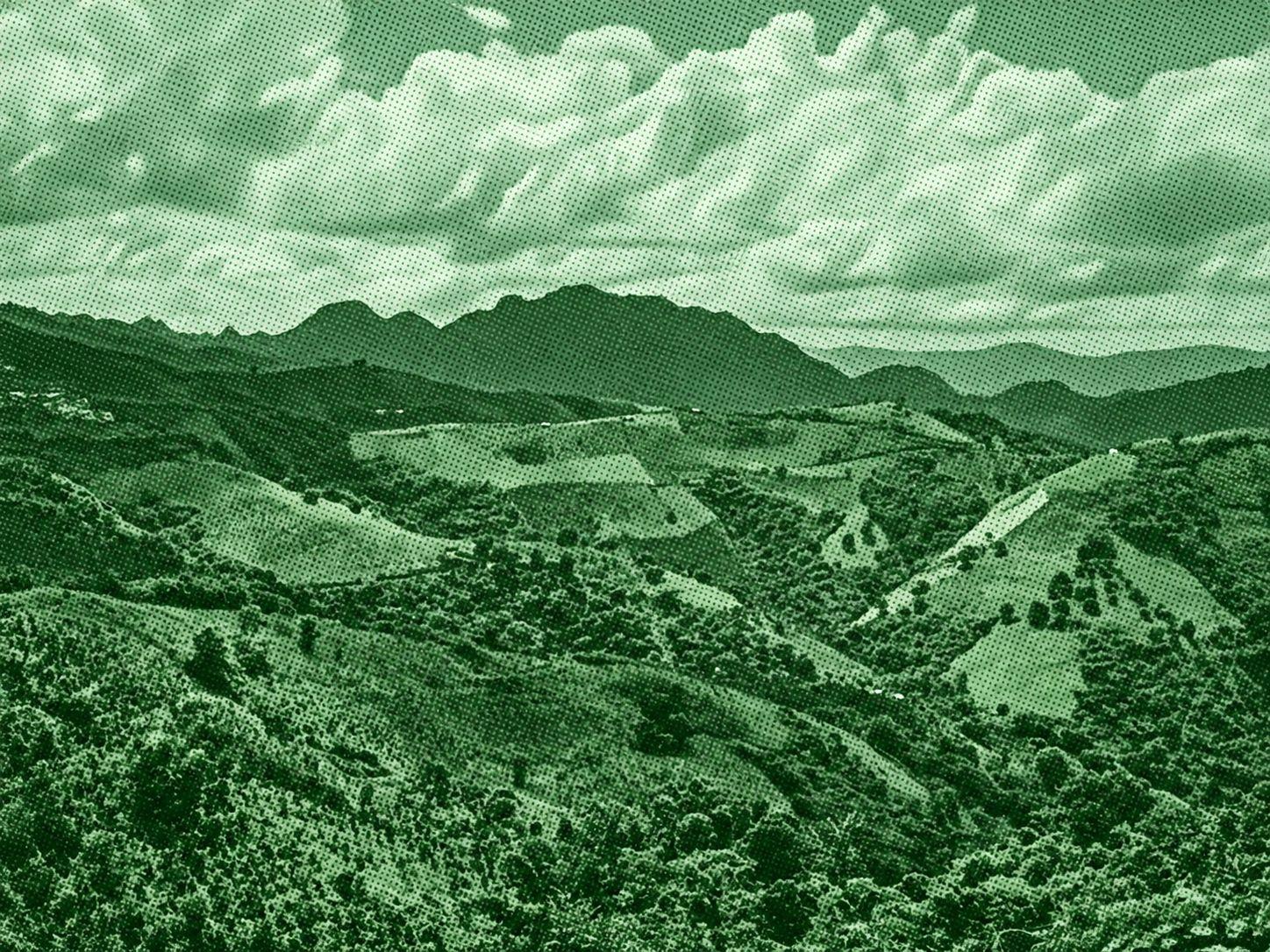
Explore the southern highlands of Kalaw on a difficult loop featuring scenic views, two villages, and a forest return. The first section offers open scenery, and the original hiker reported tea for sale in the lower part of the first village. The later section follows forest paths and includes technical terrain, making this a demanding outing. Wear sturdy footwear, carry sufficient water and food, and use offline navigation. The author suggests a middle path for a shorter return, but verify access and navigation before deviating from the recorded trail.

 Open in Google Maps