
5 - 15 km
1,430 routes
Double Haven Country Trail
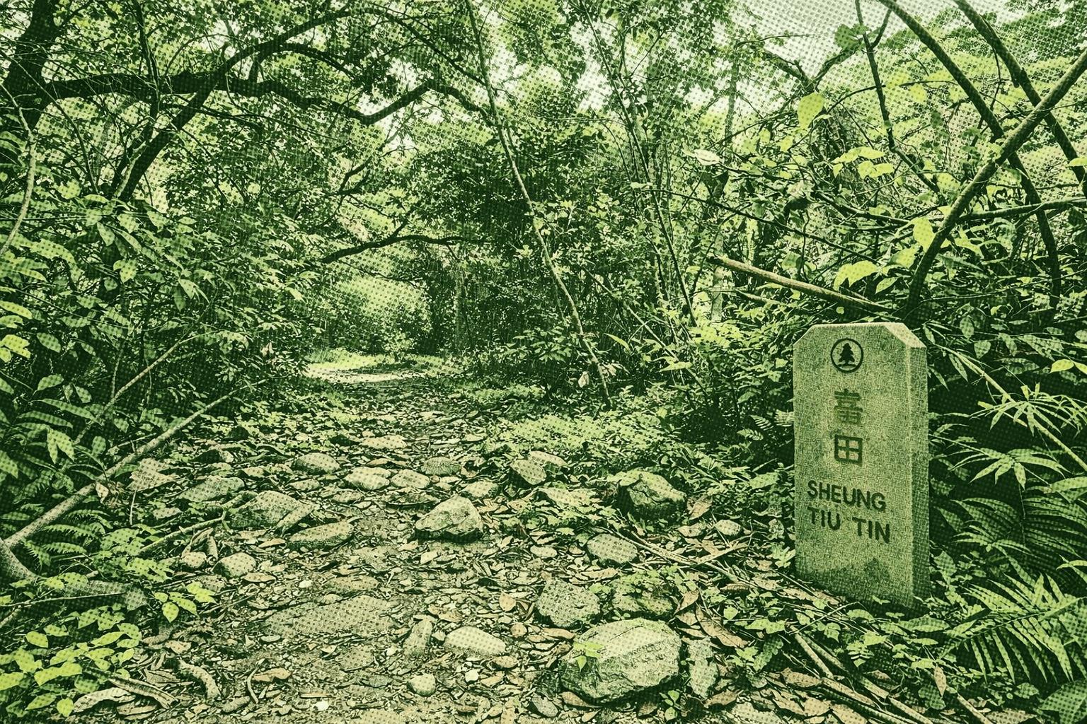
Lai Chi Wo, on Plover Cove Country Park’s northeastern shore, boasts a beautifully preserved Hakka walled village over 400 years old. This scenic spot blends geological marvels, rich biodiversity, ancient villages, and vibrant Hakka culture. Starting from Wu Kau Tang, clear forest streams attract summer dragonflies. At Sam A Chung coast, the pink Yan Chau Tong Marine Park bay glows from iron-rich sandstone oxidized under ancient high heat. Lai Chi Wo delights with coastal views, Hakka traditions, local cuisine, and unique old trees: hollow Autumn Maple, Hong Kong’s largest primeval Heritiera grove, fig-wrapped Autumn Maple, and the sadly maimed Five-fingered Camphor Tree.
High Junk Peak Country Trail
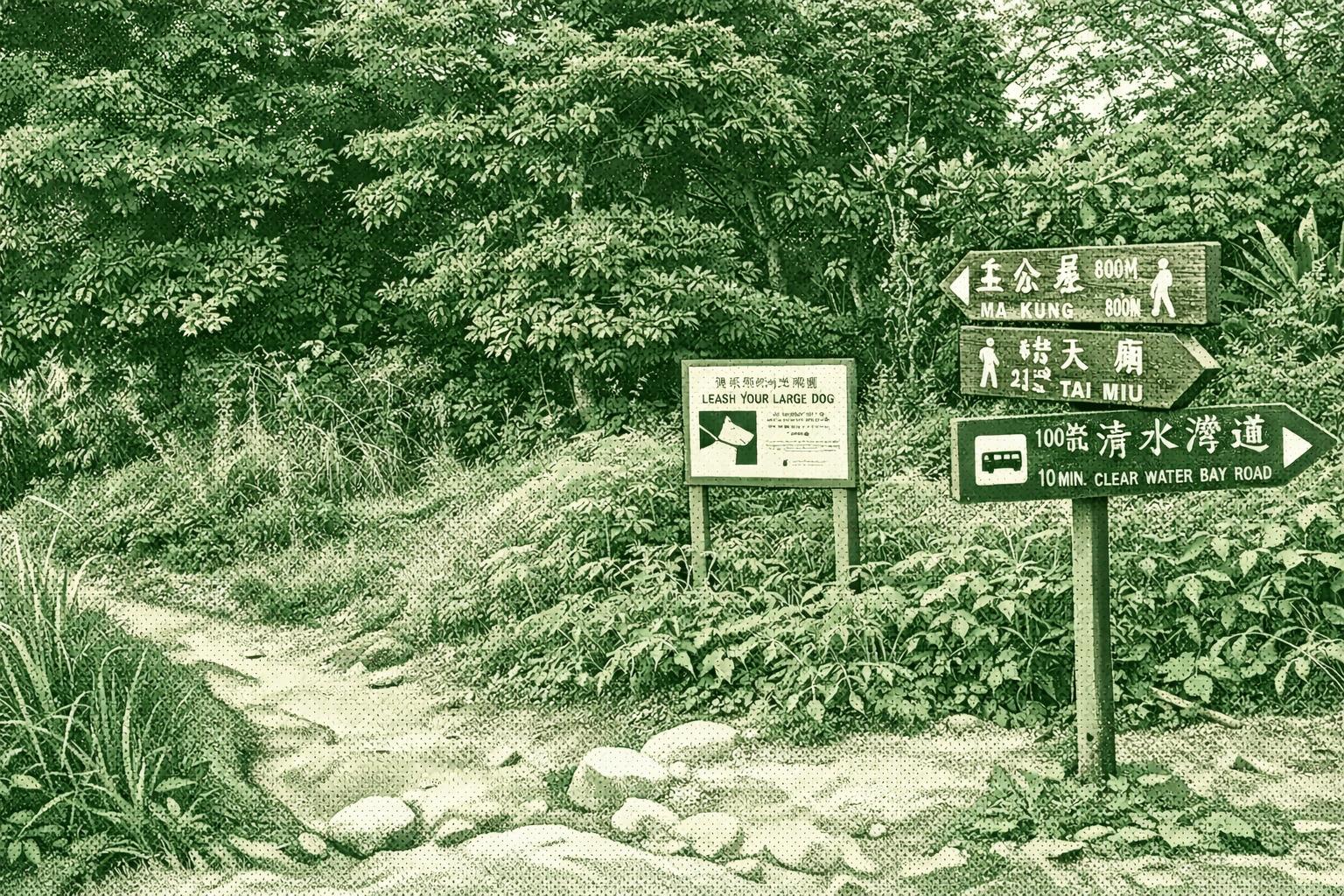
High Junk Peak (344m) ranks among Sai Kung’s steepest climbs with Sharp Peak and Tai Yue Ngam Teng. The trail crosses Clearwater Bay Country Park, passing bays and ridges separating Tseung Kwan O from rural views. Its shape evokes a fisherman’s hat and cape. Enjoy turquoise seas and distant Ninepin Group vistas. Ends at 1266 Tin Hau Temple and 1274 Southern Song inscription.
Hong Kong Trail
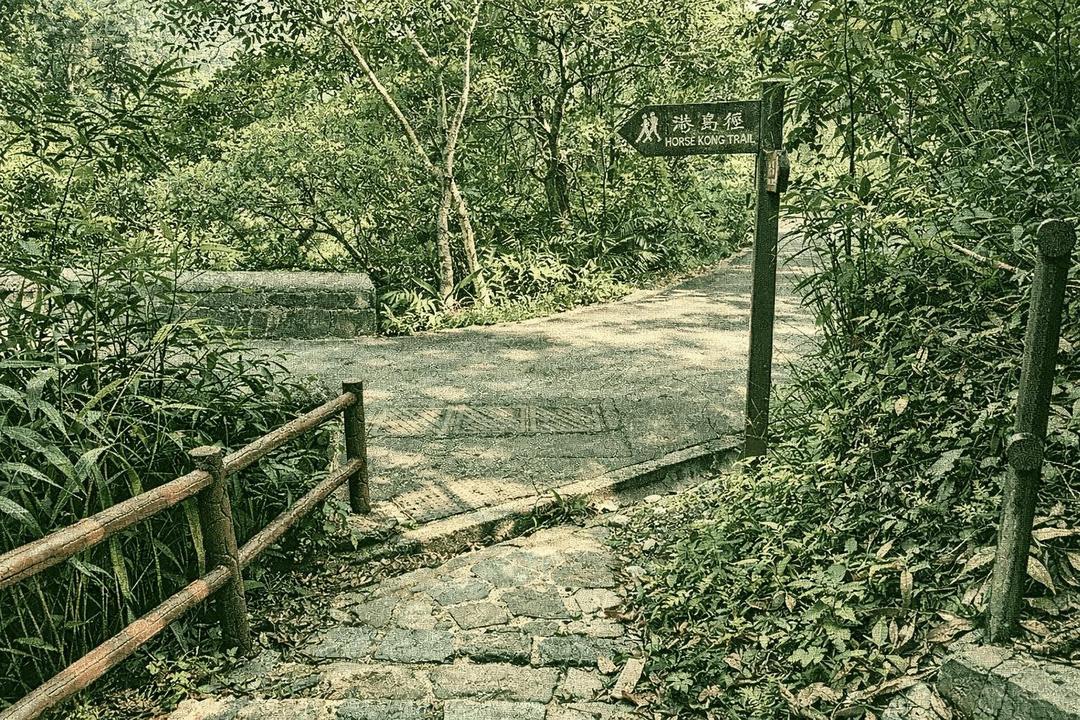
港島徑是香港第四條長途遠足徑,於1985年正式啟用,全長約50公里,橫跨香港島,分為八段。路線起於太平山爐峰峽,終至大浪灣,沿途穿梭於山林、水塘與海岸之間,景觀多變,難度各異。 此徑最大的特色是交通便利,大部分路段鄰近市區,初段如薄扶林水塘一帶平緩易行,適合家庭郊遊;中後段如龍脊更被譽為「亞洲最佳市區遠足徑」,可飽覽石澳、大浪灣及無邊際的南海風光。此外,路徑亦途經多個歷史遺跡與自然教育徑,兼具生態與文化價值。 港島徑不僅是本地山友的日常鍛煉路線,也吸引不少海外旅客前來探索香港繁華都市背後的寧靜山野。
Keung Shan Country Trail
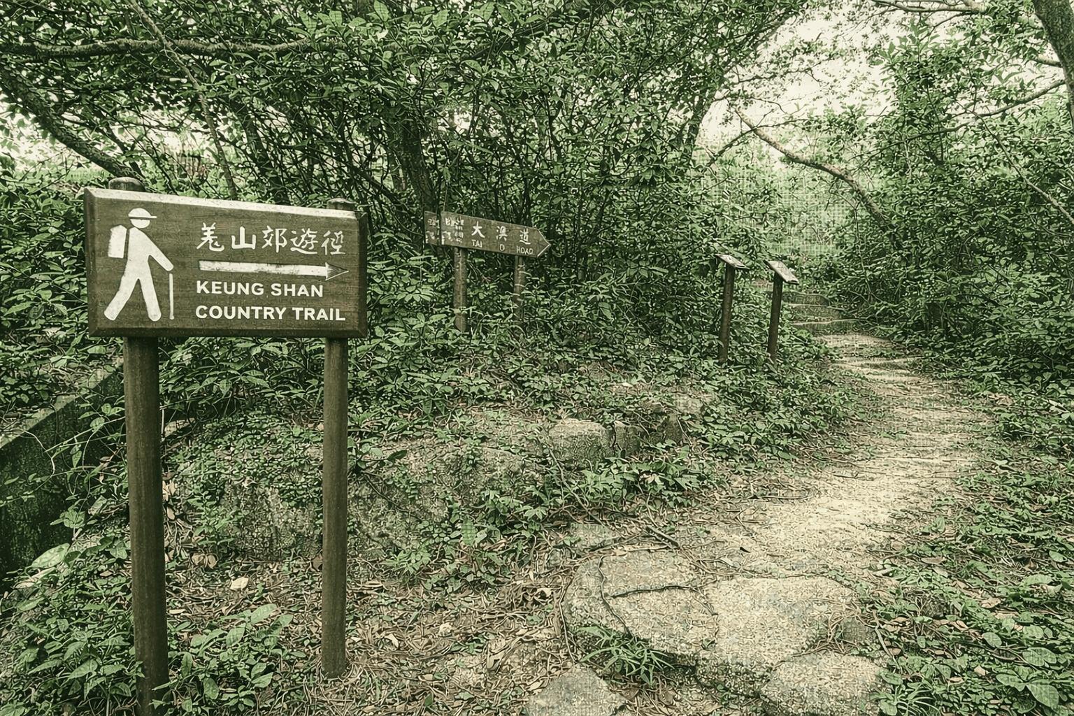
Keung Shan Country Trail descends south from Fan Shui Au on a natural rock path to Kau Ling Chung Catchwater. North views include serene Che Hing Monastery amid pines and scenic Lung Tsai Ng Yuen. Descent is gentle. 200m away, Kau Ling Chung Campsite has a white beach, streams with bridges, shady trees; eastern knoll features a viewpoint and 1902 South Lantau Obelisk (post-1898 Convention), 60m high with panoramic three-sided sea views.
Lantau Trail
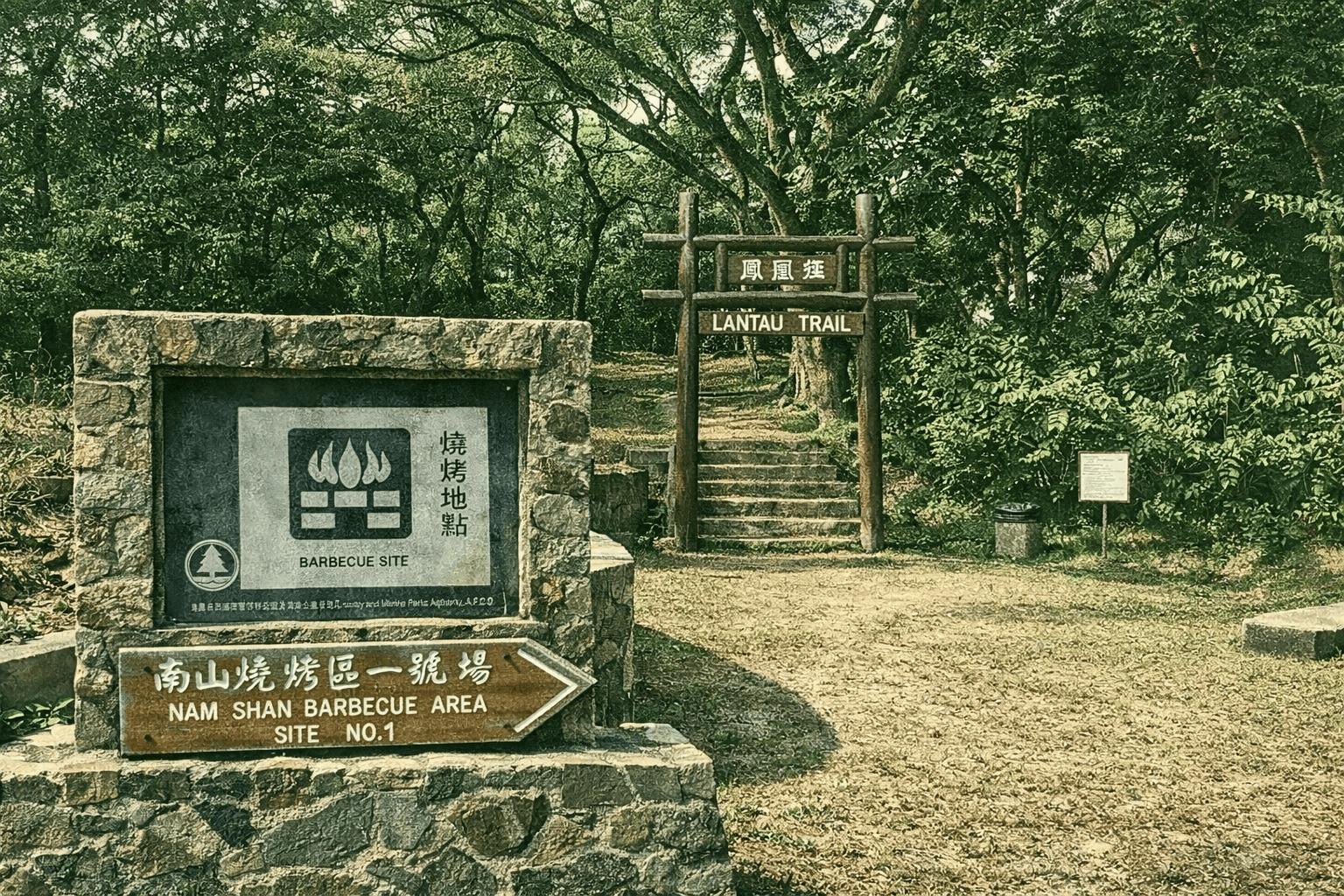
The Lantau Trail is the third long-distance hiking trail in Hong Kong. Officially opened in 1984, it spans 70 kilometers and is divided into twelve sections, traversing the South Lantau and North Lantau Country Parks. Named after Hong Kong's second-highest peak, Lantau Peak, the trail forms a loop around the southern part of Lantau Island, starting and ending in Mui Wo. It is equipped with 140 distance posts, spaced approximately 500 meters apart, to help hikers identify their location. The route connects numerous famous attractions on Lantau Island, including Sunset Peak, Lantau Peak, Ngong Ping, Tai O, Fan Lau, Shek Pik Reservoir, Tong Fuk, Cheung Sha, and Pui O. The difficulty of the twelve sections varies, with the shortest being about 2.5 kilometers and the longest reaching 10.5 kilometers, allowing hikers to choose sections that suit their physical ability. The third section, from Pak Kung Au to Ngong Ping, traverses the summit of Lantau Peak, offering expansive views and is a popular spot for watching sunrises and seas of clouds. The seventh section, from Tai O to Kau Ling Chung, features the coastal scenery of Fan Lau and magnificent bays. The Lantau Trail encompasses mountains, reservoirs, beaches, and fishing village landscapes, presenting a rich and varied natural environment. It is a popular route for both local hikers and international visitors to explore the countryside of Lantau Island.
Lion Rock Historic Walk
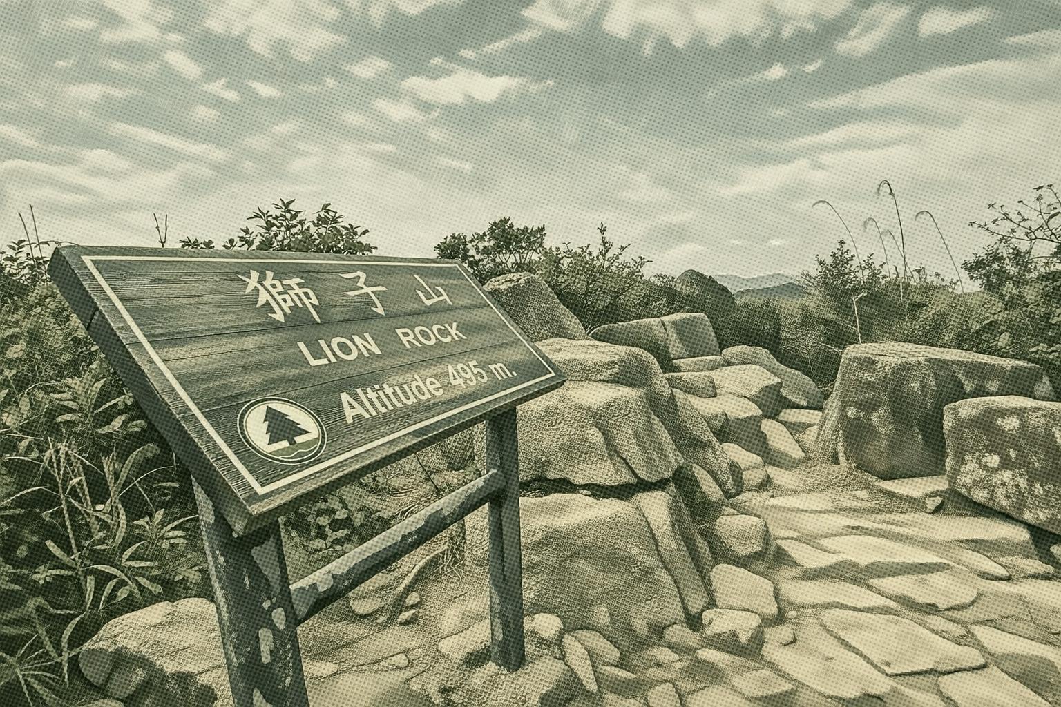
Lion Rock Historic Walk links two country parks, blending war relics, ancient paths, and timeless tales. From Hung Mui Kuk, gaze at Amah Rock’s shifting silhouette; climb to Kowloon Pass for WWII markers and escape stories; conquer the iconic ridge for 360° city-meets-nature vistas; descend via Tsz Sha Trail’s serene woods, where wildflowers and figs whisper of bygone villagers.
Lion Rock War Relics Trail
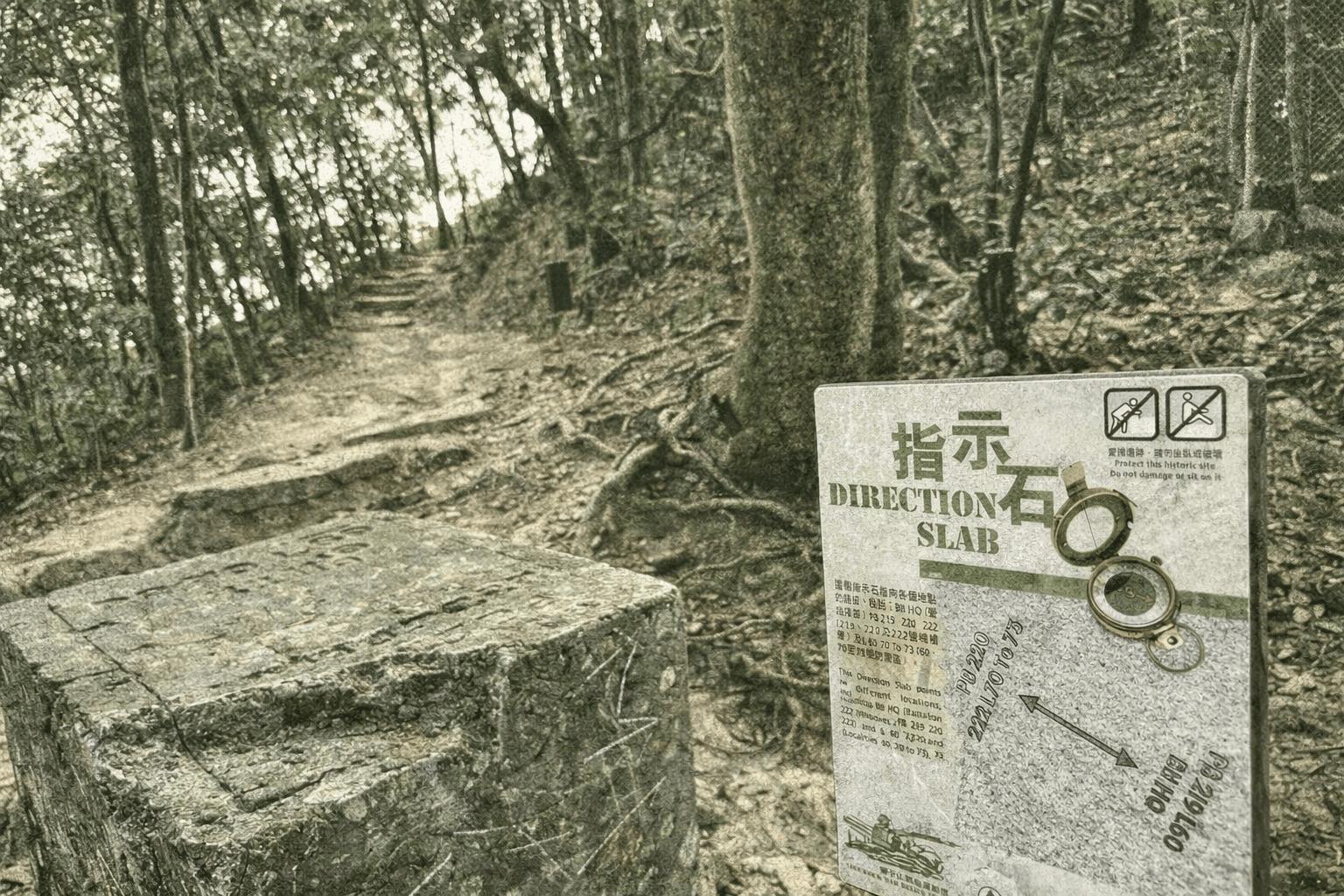
In WWII turmoil, Hong Kong's 18km Gin Drinkers Line formed Kowloon's final defense. Lion Rock's trail reveals pillboxes, trenches, Japanese caves, and 1910s blockhouses, echoing battles and unused fortifications.
Luk Wu Country Trail
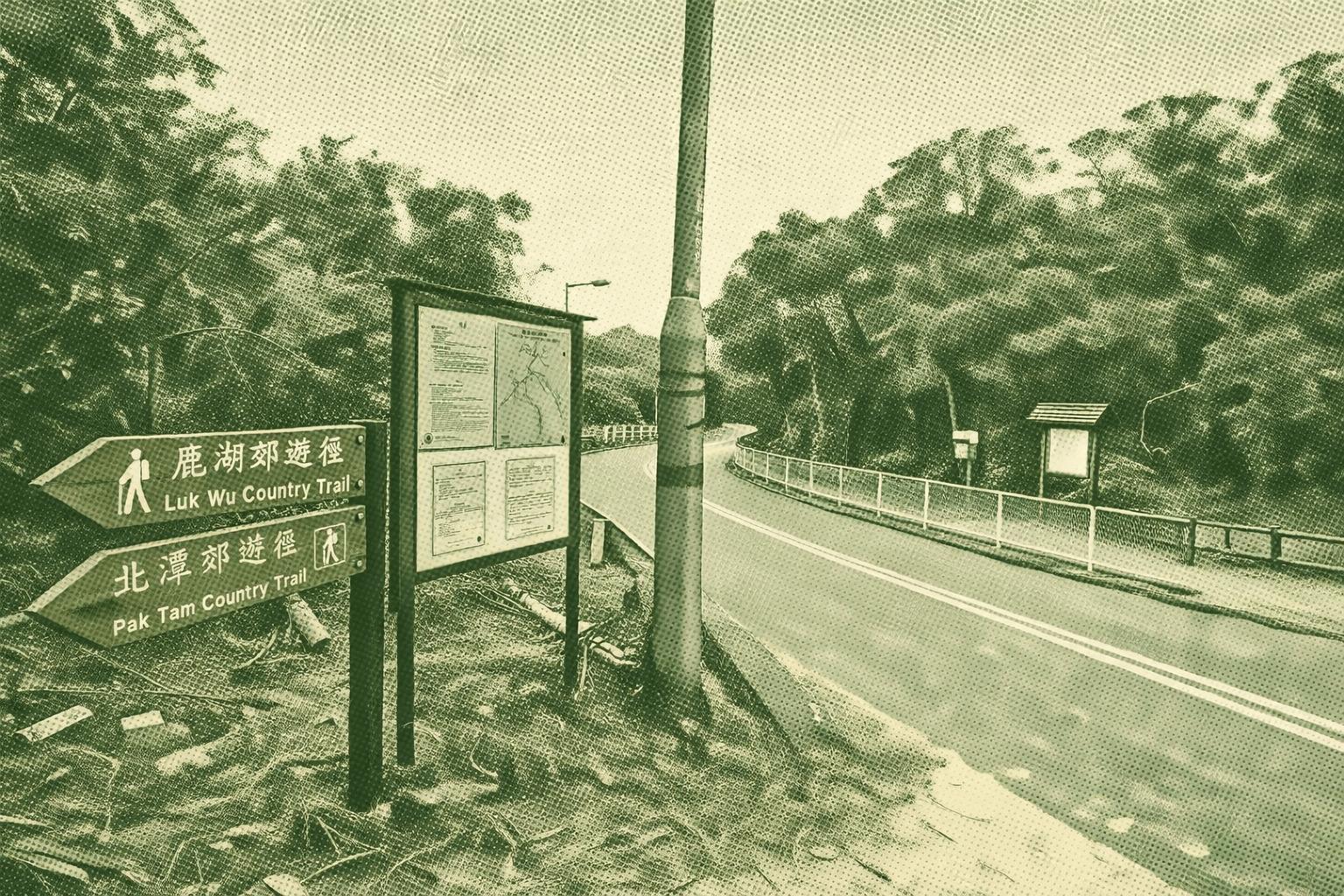
Summer beckons water-adjacent hikes. Luk Wu Country Trail, starting Sai Wan Road in Sai Kung, showcases Hong Kong's largest reservoir, February blooms, famed Sheung Luk Stream, ancient village ruins, serene monk retreats, demanding ascents with panoramic bay views, and a quirky deer-head sign.
MacLehose Trail
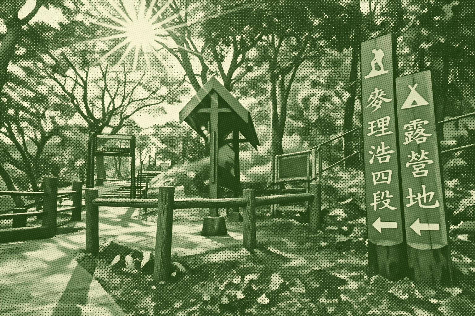
The MacLehose Trail is the first long-distance hiking trail established in Hong Kong. Opened in 1979, it was named after the then-Governor, Sir Murray MacLehose, who was an avid hiker. Stretching a total of 100 kilometers, it traverses eight country parks across Sai Kung, Kowloon, and the New Territories, running from Pak Tam Chung in Sai Kung to Tuen Mun. It is the longest of Hong Kong's four long-distance hiking trails. The trail is divided into ten sections, with distance posts erected every 500 meters. The沿途 landscape is spectacular and varied, encompassing the world-class hexagonal rock columns of the High Island Reservoir, the clear waters and fine sands of Sai Wan Beach, and the expansive mountain views from Hong Kong's highest peak, Tai Mo Shan (957 meters). The "Oxfam Trailwalker" charity race is held here every November, where participants are required to complete the entire trail within 48 hours. In 2016, the MacLehose Trail was named one of the "World's 20 Best Hiking Trails" by National Geographic magazine, making it a premier hiking destination for both local and international outdoor enthusiasts.
Ping Chau Country Trail
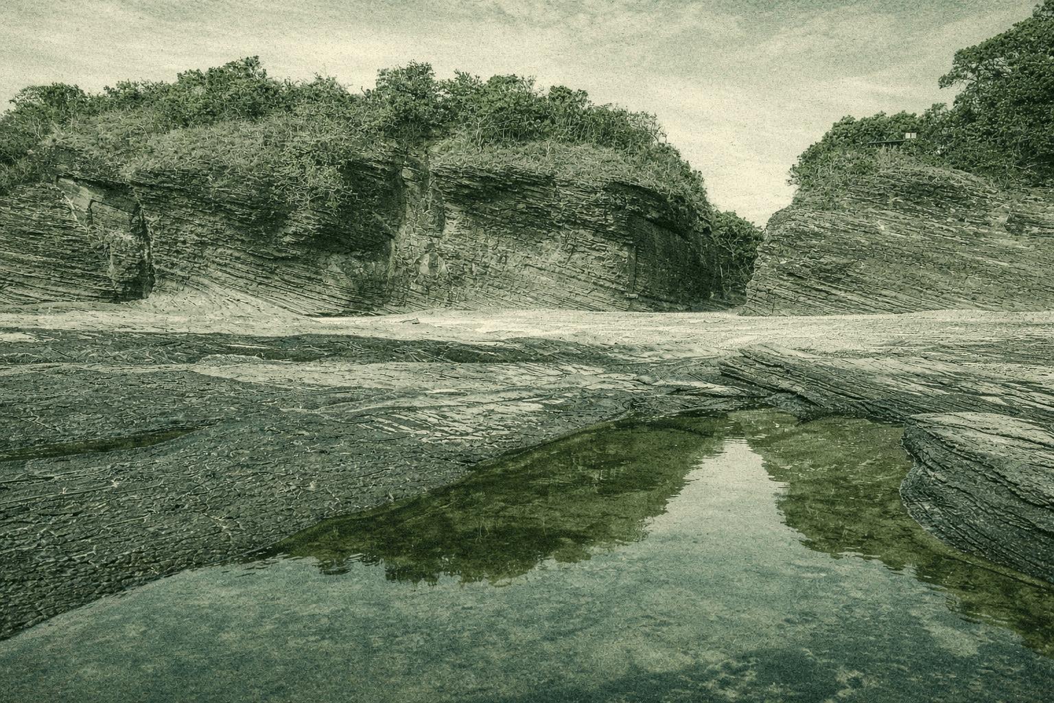
Nestled in Hong Kong's northeast, Ping Chau island boasts sedimentary rocks like a natural geology exhibit. Its Tung Ping Chau Marine Park spans 270 hectares with vibrant corals. The country trail reveals striking features: towering Kang Lau Shek sea stacks resembling ancient guardians, shale layers, wave-cut platforms, dragon-like Lung Lok Shui rock, and eroded Cham Keng Chau. Village walls echo million-year-old shale.
Shek Pik Country Trail
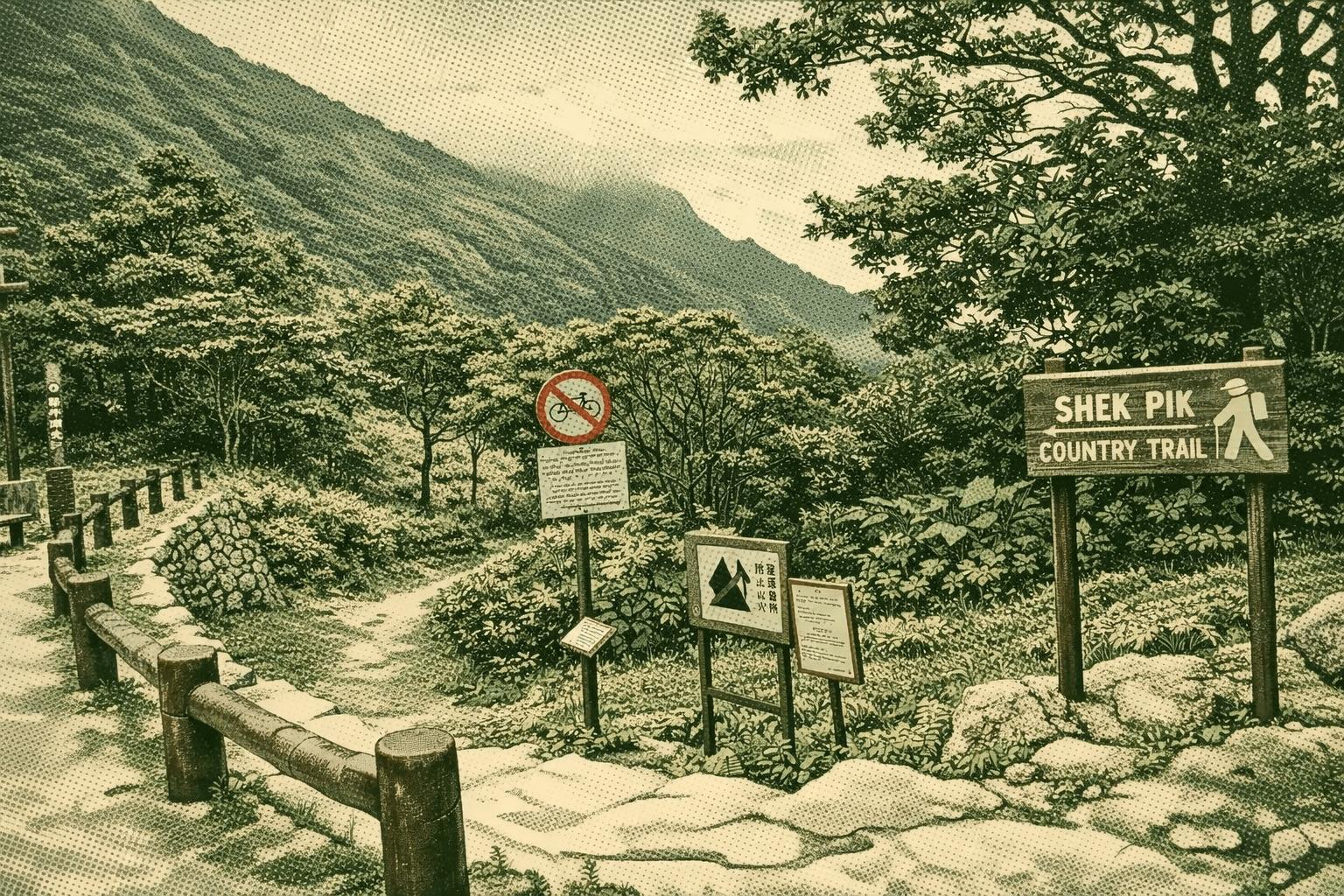
The trail starts at Wisdom Path in Ngong Ping, featuring 38 giant wooden pillars etched with Professor Jao Tsung-I's Heart Sutra, offering escape from urban hustle. Descending westward from Lantau Peak, it views Shek Pik Reservoir and risky Kau Nga Ling. Spring bursts with colorful hawthorns and rhododendrons; summer adds blooming cherries, homaliums, and sterculias. Ending in a decades-old slash pine forest by the reservoir, it prevents erosion near Shek Pik Catchwater, aiding island water supply. Built in 1963, the reservoir—ringed by Kau Nga Ling, Keung Shan, Muk Yue Shan, and Sze Tse Tau Shan—ranks third in capacity, fed by numerous streams.
Shing Mun Reservoir Walk
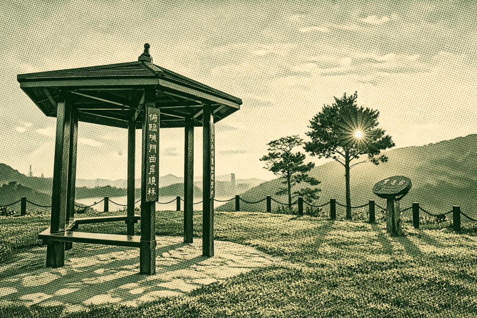
Shing Mun Reservoir Walk loops from Pineapple Dam, starting at the Visitor Centre’s park history exhibit, then to the year-round Butterfly Garden buzzing with Lantana and Crotalaria-fed species—perfect for photographers. Admire waterside paperbarks’ stunning flooded spectacle in wet season or artistic exposed buttress roots in dry times. Halfway offers fresh reservoir vistas, panoramic views of Kwai Chung, Tsing Yi, Tsuen Wan, and Lantau from the Leisure Deck, or Tai Mo Shan-framed scenery at the Viewing Point. Don’t miss the iconic main dam, valve house, bellmouth overflow, and a quick detour to the War Relics Trail for a historical finale.