
Over 30 km
84 routes
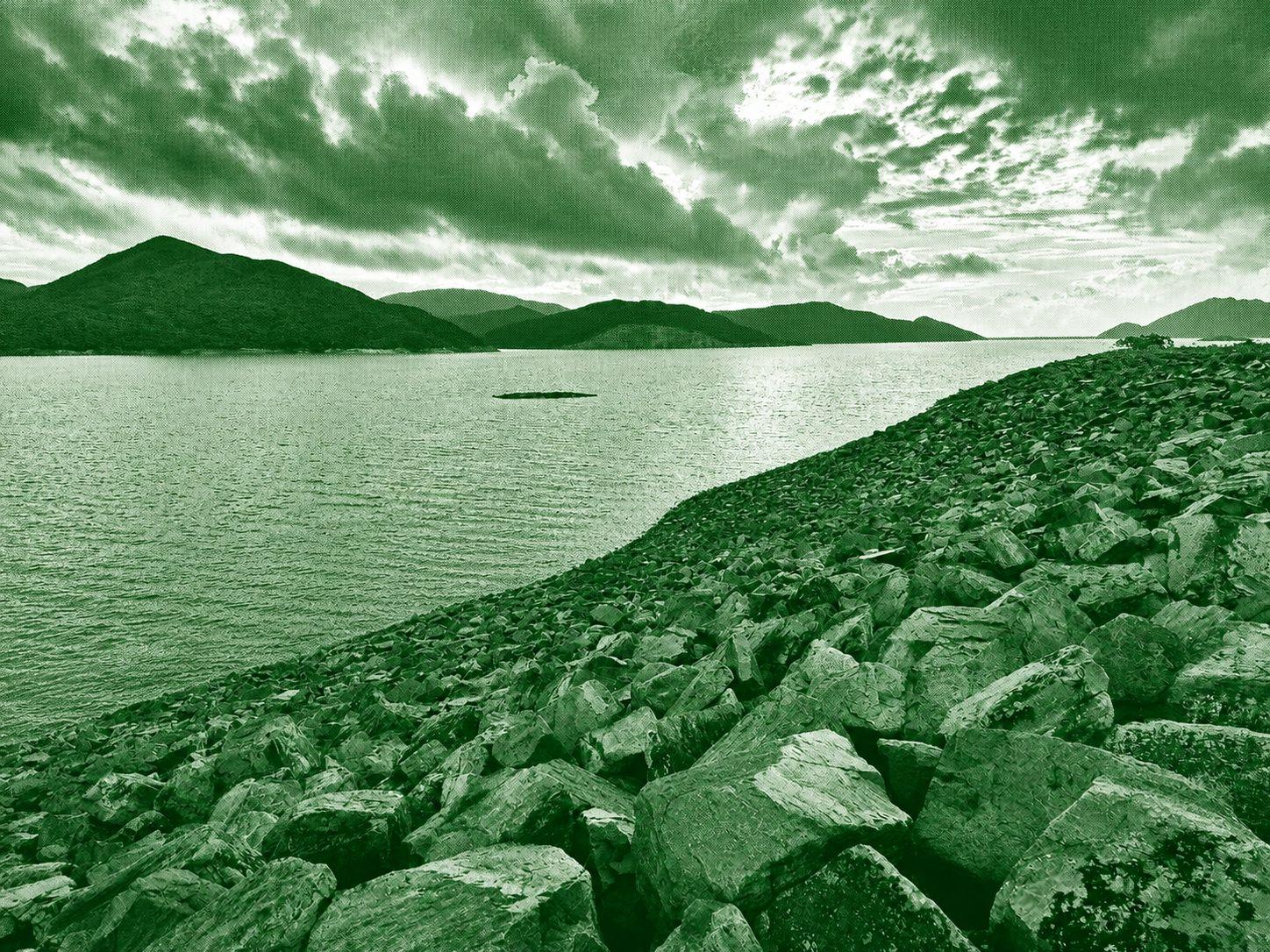
MacLehose Trail
MacLehose Trail is Hong Kong's longest hiking trail, stretching approximately 100 kilometers across the New Territories from Sai Kung to Tuen Mun. Divided into 10 sections, it passes through scenic mountains, reservoirs, beaches, forests, and country parks, showcasing the region's diverse natural landscapes. The trail is suitable for a wide range of hikers, with some sections offering gentle walks while others feature challenging climbs, including the famous peaks of Tai Mo Shan and Sharp Peak. It is widely regarded as one of Asia's premier long-distance hiking routes, offering spectacular views and an excellent opportunity to experience Hong Kong's countryside
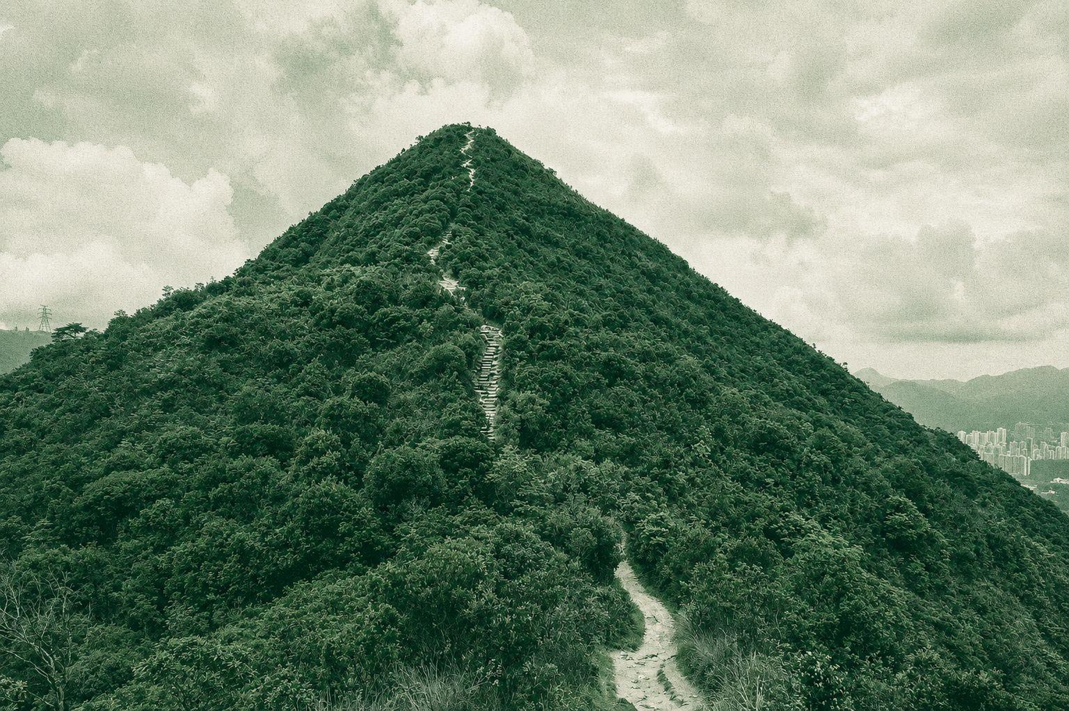
Pak Tam Chung to Tuen Mun San Hui via Needle Hill
The Pak Tam Chung – Sai Wan Shan – Needle Hill – Grassy Hill – Tuen Mun San Hui route is a demanding long-distance hike that traverses some of Hong Kong's most scenic mountain ridges and country parks. The trail features challenging ascents to prominent peaks, including Needle Hill and Grassy Hill, where hikers are rewarded with sweeping views of reservoirs, lush valleys, and the surrounding mountain ranges. A combination of forest trails, stone steps, and exposed ridgelines creates a varied and physically rewarding hiking experience. Due to its length and elevation changes, the route is best suited for experienced hikers with a good level of fitness. This hike offers a memorable journey through diverse landscapes, combining panoramic viewpoints, peaceful natural surroundings, and some of Hong Kong's most impressive upland scenery.
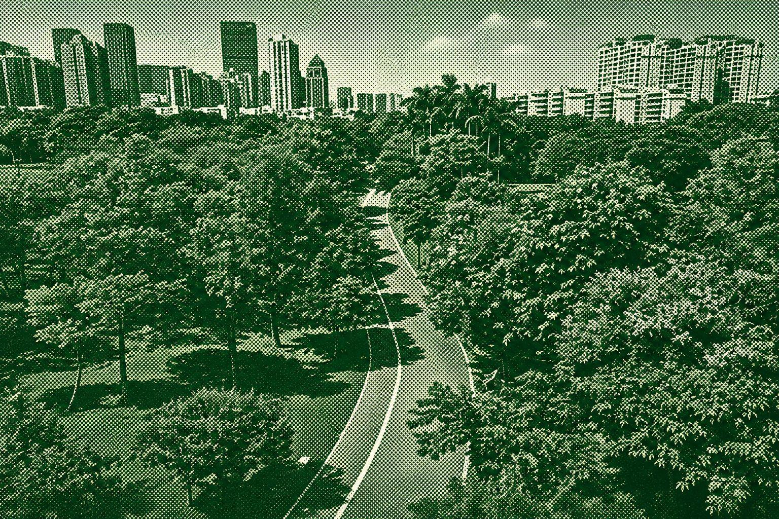
Futian Ring Greenway
This circular hike explores a variety of Greenway routes through the scenic suburbs of Shenzhen. The trail combines paved off-road paths with a more rugged bush section near Meilin Reservoir, featuring natural terrain and numerous stone steps. The northern section provides a more adventurous hiking experience, while the remaining route offers a relaxed walk through green and leafy surroundings. Although most of the trail is accessible and well-maintained, the rougher sections may be challenging for some hikers. This route is ideal for those looking to experience the contrast between Shenzhen’s urban green spaces and quieter natural landscapes.
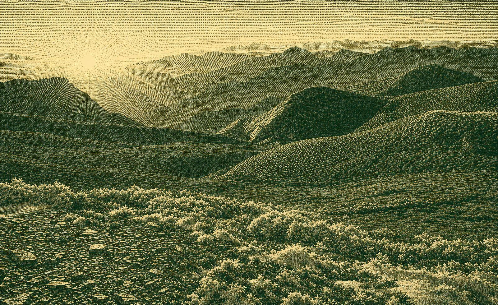
Chili Nanfeng Trail, Nanhua Mountain Trail (Chili Nanhua)
Most people enter the mountain area through the west section of the Nokao Yingling Road, which has a gentle slope, clear signs, and excellent views. After staying at Tianchi Mountain Villa for the night, the next morning, recharge to the two peaks. Located on the border between Nantou and Hualien, Qilinan Peak and Nanhua Mountain (also known as High North Peak) are one of the most easily accessible mountains in Taiwan. Due to their location, they are often combined together, collectively known as “Qilei Nanhua”. On the way, you will be able to reach Chillainam Peak after passing through the Tianchi Pass, over the shallow Taro Bay Creek and the shape-arrowed bamboo grass slopes. Early on, you will be able to see the beautiful sunrises above the mountains. On the way back to Nanhua Mountain, you will see thousands of miles of green carpet in front of you, surrounded by peaks such as the Bull's Horn of Kahar, Nokao, Chili, Snow Mountain, Hihua and Kanchuan. Even if you can't visit it alone, the view is a pleasure. You can go all the way down to the “Light by the Eight Meters” monument and take a walk. Small circle O type returns to Tianchi Mountain Villa. Formerly the “Nogao Residence” and “Tianchi Bus Station”, Tianchi Village was built as a two-storey green building in 102 years, providing climbers with a comfortable, spacious and varied resting space. More people have the opportunity to visit this national trail full of human history and Suspension Bridge Falls and climb to Chili South China Complete a journey through the centuries-long mountain ancient roads of two centuries-old temples.
Nanhu Qun Peaks Hiking Trail
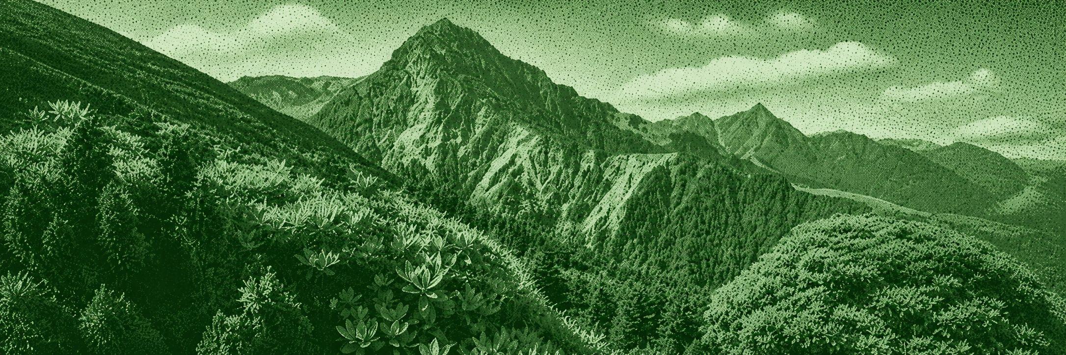
The name “Nanhu Mountain” derives from its massive, airy landscape. From any angle or distance, the mountains of Nanhu are the perfect weather. In addition to a number of towering peaks in the clouds, the Nanhu Mountains are home to Taiwan's most diverse glacial terrain (such as the magnificent upper and lower ring valleys), Taiwan's only “desert” geology, Taiwan's longest frozen snow season, and some of the world's unique native species... even the Nanhu Mountains seem to have some species. Chung Ling Yuxiu's urban spirit has made Nanhu Mountain a dreamy alpine beauty destination for many mountain lovers. She has always visited more than once and for three places. Some people think that it is necessary to go through the whole mountain in the spring, summer and autumn and winter seasons, even if it is a complete hike. Despite the fact that Yushan and Snow Mountain are Taiwan's highest peaks, in the minds of many Taiwanese mountaineers, the seal of “King's Mountain” may be given to “Nanhu Mountain” in the northern part of the Central Mountains, and Nanhu Mountain is not even the highest peak in the Central Mountains. In addition to this, the Nanhu Mountain Area is not only the mountain of Nanhu, but also a number of peaks with different heights and unique characteristics, which guard the main peak of Nanhu Mountain like an arch of stars, and therefore it has more significance for the title of king. However, it is also not so easy to visit the Nanhu Mountain area due to the remote road and the “Wuyuan Peak” before entering the valley, it is not so easy to visit the Nanhu Mountain area. It is recommended to visit Nanhu Mountain after some advanced mountain experience before visiting the Nanhu Mountain.
Mount Bilok Hiking Trail
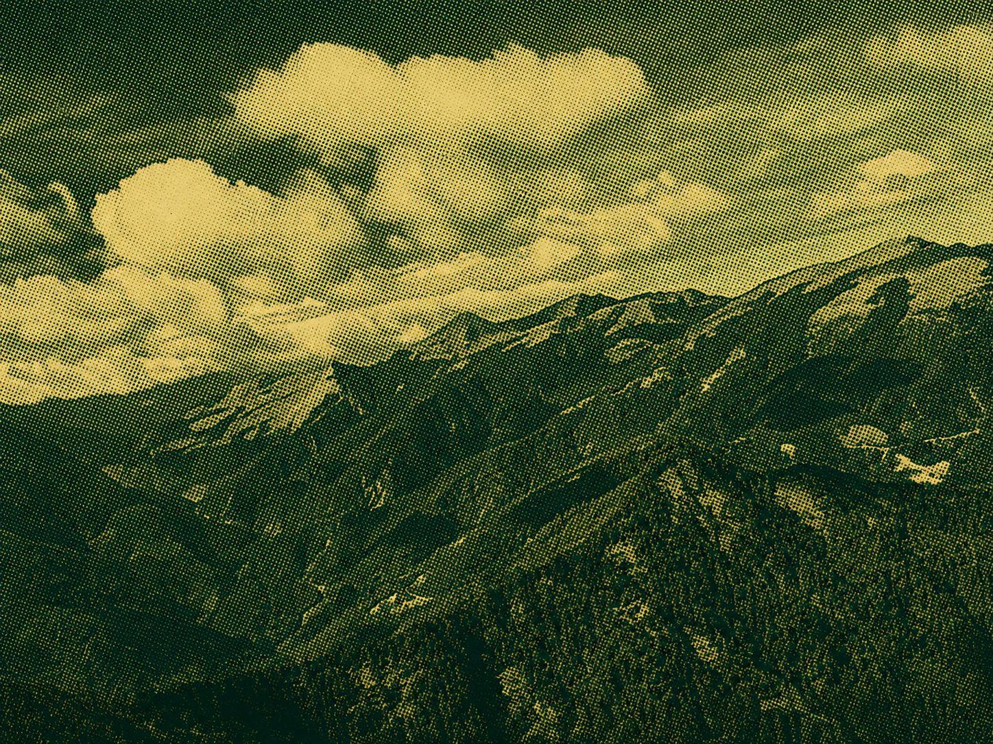
The northern part of the central mountain range at Mount Bilou has become one of the most easily climbed mountains in Baitake due to the opening of the Central Highway and 820 Forest Road. Yamato is half of the 820 forest road from the west exit of the Duyuling Hehuashan Tunnel. It is possible to arrange a one-day solo, two-day overnight, or Beiyang hike (Biloshan to Gantou Mountain). It takes more than 20 km in a single day and takes more than 12 hours to walk, while the Beiyang trek requires heavy loading on the ridge, and then connects to the peaks via serrated teeth. Descending the mountain from the Goatou Mountain Trail is a must for those who are not physically fit and try it out during the snow season. 820 Forest Road has little ups and downs, except for some broken sections, with one mile of logs every hundred meters, without getting lost. After passing the abandoned shires and the waterfall, you will have to reach the Bilok Togou Camp, and then you will have to climb a steep 800 meters. On the way, you will also have to climb the vertical cliffs of about two floors high (assisted by ropes). After crossing the Sheep Road, you can climb to Mount Biluku, which has an altitude of 3371 meters. The top of the mountain has a mountain Three triangular points and 360-degree views are lined up against Huangwan Peak, Chili Lian Peak, Chili East Gorge, Jagged Peak, North I, North II, and thousands of miles of obscure ruins. Do you want to see such a magnificent view for yourself? Get ready to try one of the “Central Spicy” Baptisms of one of the “Nakayoko Four Spicy”.
Nanhu Qun Peaks Hiking Trail
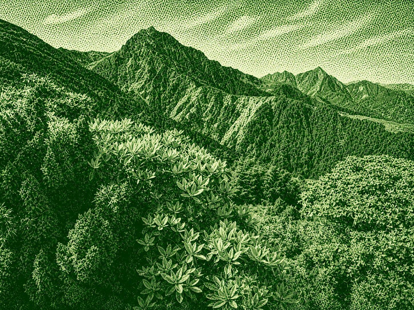
The name “Nanhu Mountain” derives from its massive, airy landscape. From any angle or distance, the mountains of Nanhu are the perfect weather. In addition to a number of towering peaks in the clouds, the Nanhu Mountains are home to Taiwan's most diverse glacial terrain (such as the magnificent upper and lower ring valleys), Taiwan's only “desert” geology, Taiwan's longest frozen snow season, and some of the world's unique native species... even the Nanhu Mountains seem to have some species. Chung Ling Yuxiu's urban spirit has made Nanhu Mountain a dreamy alpine beauty destination for many mountain lovers. She has always visited more than once and for three places. Some people think that it is necessary to go through the whole mountain in the spring, summer and autumn and winter seasons, even if it is a complete hike. Despite the fact that Yushan and Snow Mountain are Taiwan's highest peaks, in the minds of many Taiwanese mountaineers, the seal of “King's Mountain” may be given to “Nanhu Mountain” in the northern part of the Central Mountains, and Nanhu Mountain is not even the highest peak in the Central Mountains. In addition to this, the Nanhu Mountain Area is not only the mountain of Nanhu, but also a number of peaks with different heights and unique characteristics, which guard the main peak of Nanhu Mountain like an arch of stars, and therefore it has more significance for the title of king. However, it is also not so easy to visit the Nanhu Mountain area due to the remote road and the “Wuyuan Peak” before entering the valley, it is not so easy to visit the Nanhu Mountain area. It is recommended to visit Nanhu Mountain after some advanced mountain experience before visiting the Nanhu Mountain.
Lagoyama, Suzumuriyama Trails
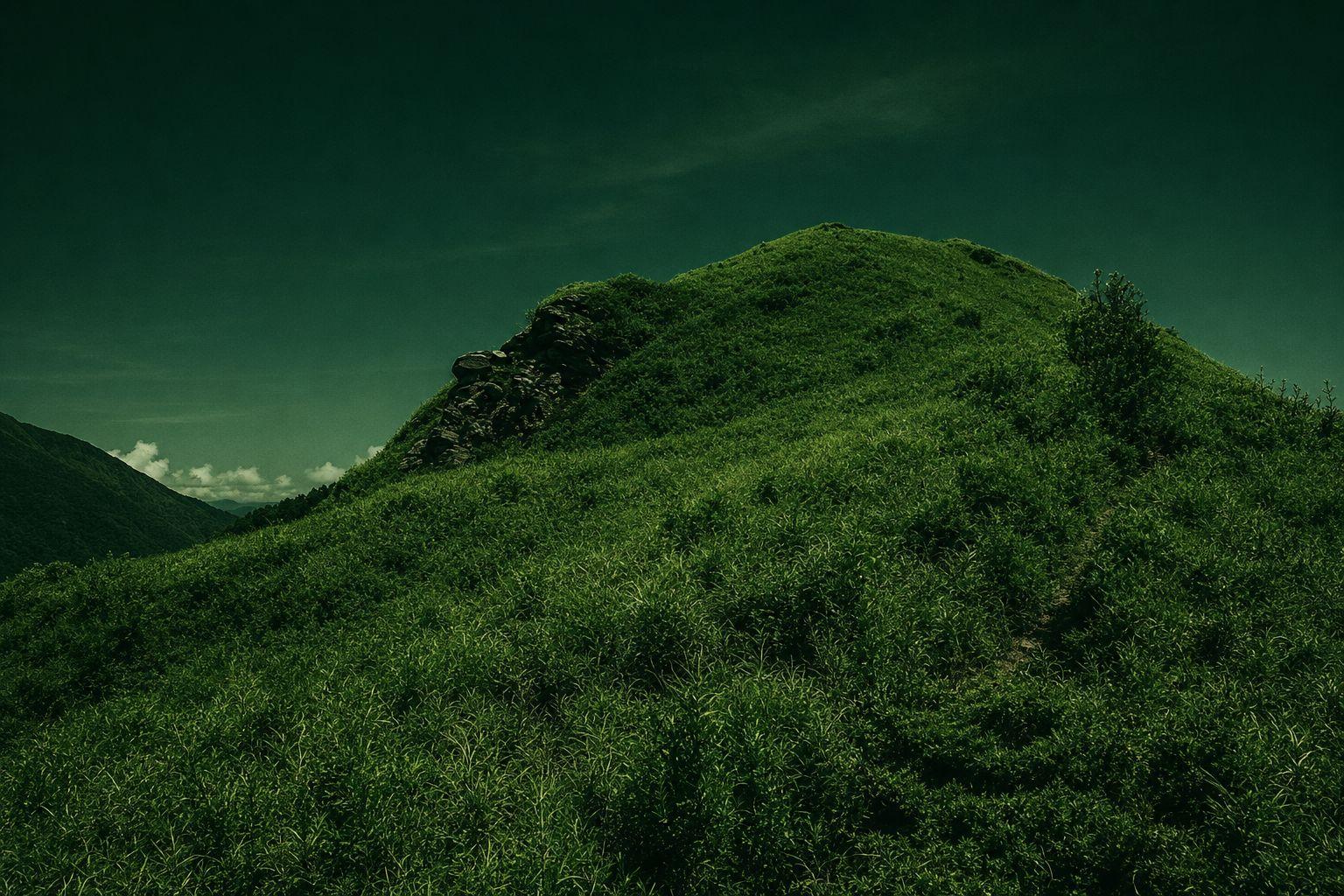
Latiyama and Suzumura Mountains belong to the mountain range and belong to the northern section of the Chuo Mountains. With the opening of the Hokkaido Highway, the threshold for climbing traffic is significantly reduced, and the route is popularized, making it an inaccessible mountain. Compared to the other rocky ridges in the northern part of the mountain, the mountain ranges are gentle and gentle, full of lush alpine grasslands. The mountains can be connected by 730 forest trails, and most mountain lovers will arrange to complete the trip once. The two mountain peaks have a wide view of Ka Creek with a view of Snow Mountain Peak, Dajian Mountain, and Zhijiayang Mountain, which are located next to Ka Creek, and many hundreds of mountains are located next to Keikai Peak, Nanhu Daishan, Chuo Jishan, Wuming Mountain, Biloh Mountain, and more. 730 FOREST ROAD IS A MAPLE HIDEAWAY FOR PHOTOGRAPHERS WHO WANT TO HIKE THE MOUNTAINS IN LATE AUTUMN AND ENJOY THE MAPLE VIEW.
North Three Section (Nogao An East Army)
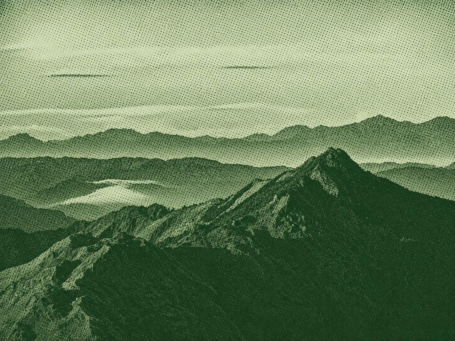
The Nogao Dongjun Trail is famous for its Nogao Mountain on the north side and Andong Jun Mountain on the south side. It is a beautiful section of the central ridge line. The ridge line is surrounded by numerous alpine lakes such as Shiraishi Pond, Manli Pond, and Tuen Luk Pond, making it the area with the highest lake density and highest altitude in the entire Dai Ridge. From Nogao Nang Peak to Shiroishi Mountain and Andong Jun Mountain, Taiwan's highest plateau terrain is fully developed, and the beautiful alpine grasslands are among the best in all of Taiwan. The entire mountain area is dominated by wide grass slopes and alpine lakes, and Taiwan deer can often be seen. After nightfall, starry skies fill the sky, swarms of deer forage in the steppe. Starry sky, meadows and lakes are reflected in the scenery. Only visitors can feel the stunning spectacle. When is the best time to travel to Nogao Andongju? Provides a detailed guide on how to get away with the Gao Ant Army Share a few things to note about the defection of the Indonesian military.
Chili Lian Peak Hiking Trail
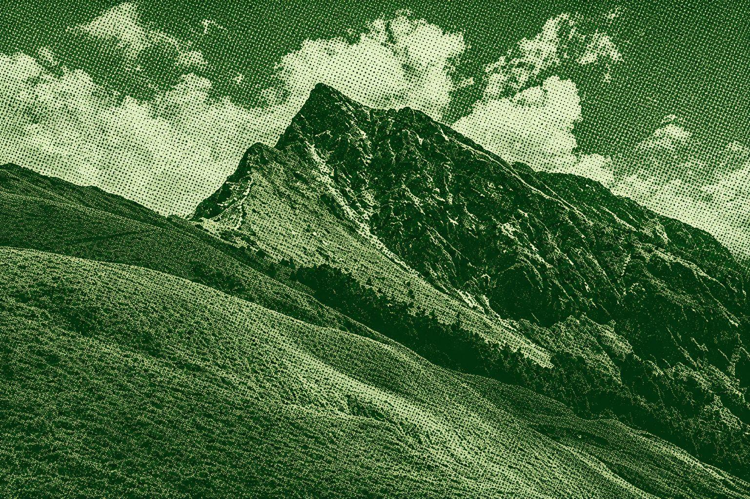
Chili Lian peaks belong to the northern three sections of the Central Mountains. Along the way, the four hundred mountains of Chili Lai, the main mountain of Chili, the four hundred peaks of Chili Lai, and Nanhua Mountain are a must see, and the magnificent Karolo Cliffs are a classic route for mountaineers. There are several mountain peaks spread between the main mountain of Chili and the southern peaks of Chili, and the most representative of the Carlow Cliffs, which stretch for several kilometers between them. The route is full of dangerous terrain such as cliffs and narrow ridges. The mountain area is often accompanied by strong winds and trekking with caution; it is easy to get lost when the Katong Yingshi Falls are foggy. After crossing the steep ridge line, walk into the forest and immediately come to the lush green alpine meadows. The smooth, well-trodden grass paths soothe the tension of the road, and the scenery is bright.
North Section 1 (South Lake, central tip)
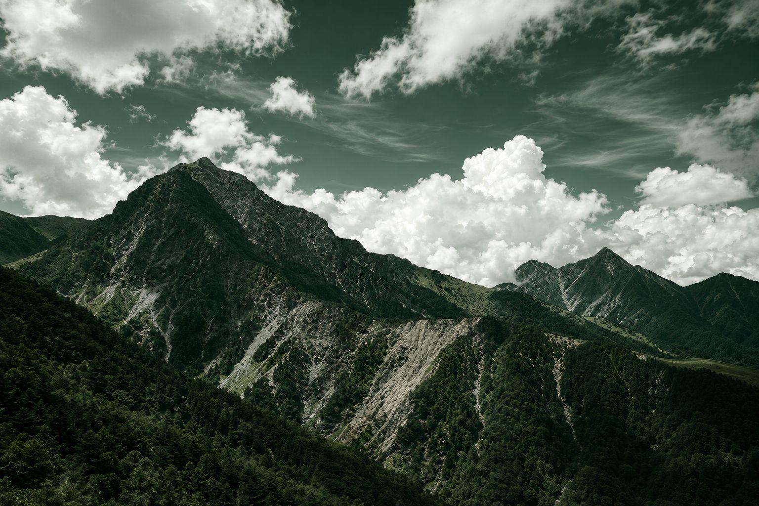
The northern section of the Central Range is located at the northern end of the main ridge, which includes eight mountain peaks such as Nanhu Mountain and Chuo Tsim Shan. The tour begins with a beautiful fir forest, followed by the vast Xumajin alpine grassland, a gentle ridge of five rock peaks, and the uniquely towering Taosei Peak; ascend the 3742 m high Nanhu Mountain, overlooking the surrounding mountains. As far as Chuo Tsim Shan, the mountains are shaped like sharp pyramids and are known as the first tip in Taiwan and are very difficult to climb. Blossoming alpine azaleas, majestic ring valleys and lush mountains make for endless scenery. The central tip of Nanhu is a classic route for many mountain lovers. It is recommended to start training early.
Hachidaxiu (Yatong Guan Mountain, Tai Shut Mountain, Xiuguluan Mountain)
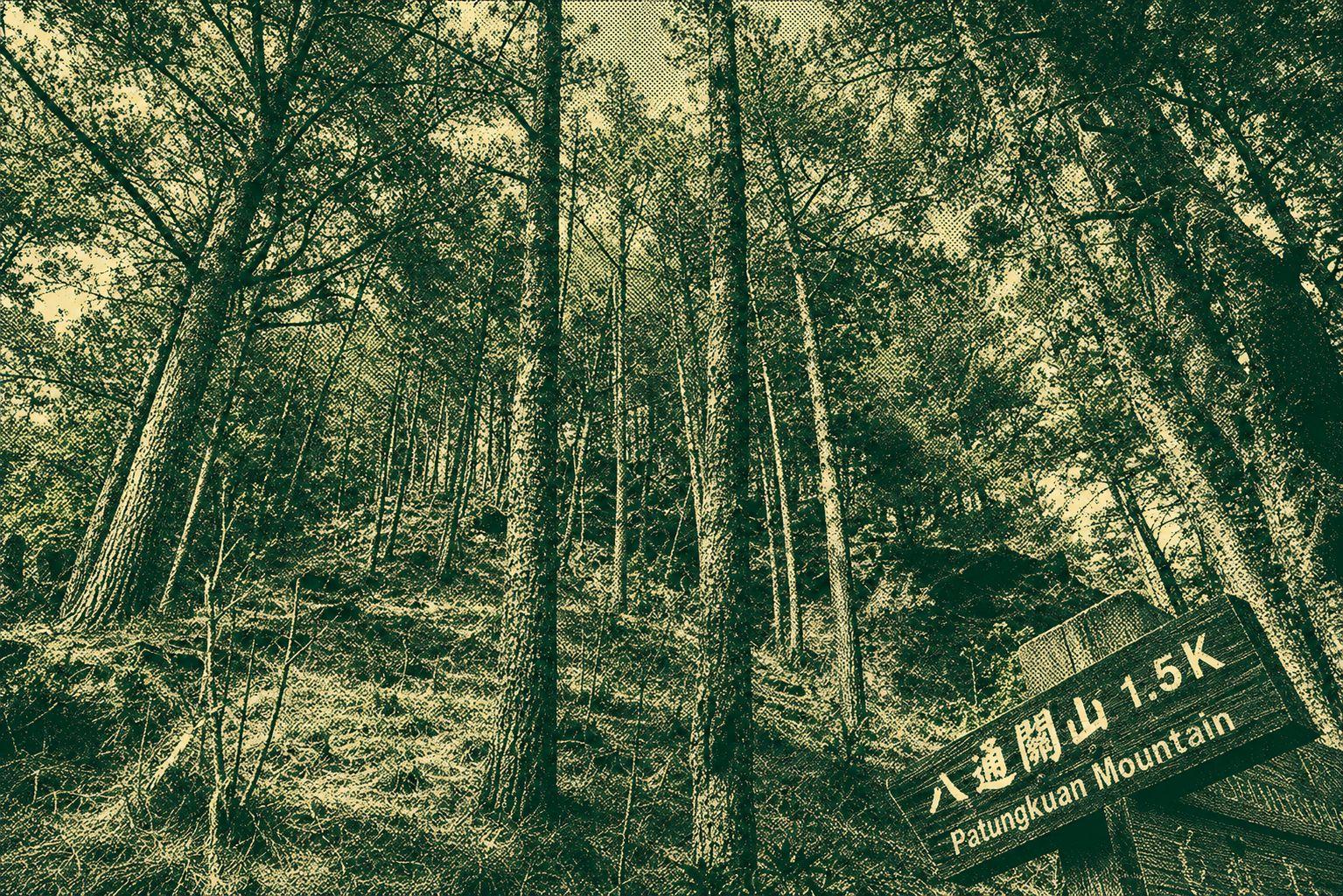
The eight major sights are the three mountain peaks of Yatong Guan Mountain, Daishu Mountain, and Xiuguluan Mountain. From Tung Po, the route crosses the historic Hachadong Koko Road, along the right bank of Chan Yau Lanxi, following the treacherous Babson Cliffs, the bustling Yunlong Waterfall, the vast Yatongguan grassland, the unique Xiuguping white wood forest and the ruins of Hitachi. The tour includes Xiuguluan Mountain, the highest peak in the Chuo Mountains, Yatongsukan Kōdo, the Great Cave Mountain that divides the Central Mountains, and Mount Yatongguan, which is a steep cliff face. There are excellent views of the three peaks, with the ridge lines such as South Section 2, South Three Section, Marbo Segment, etc.